
Description
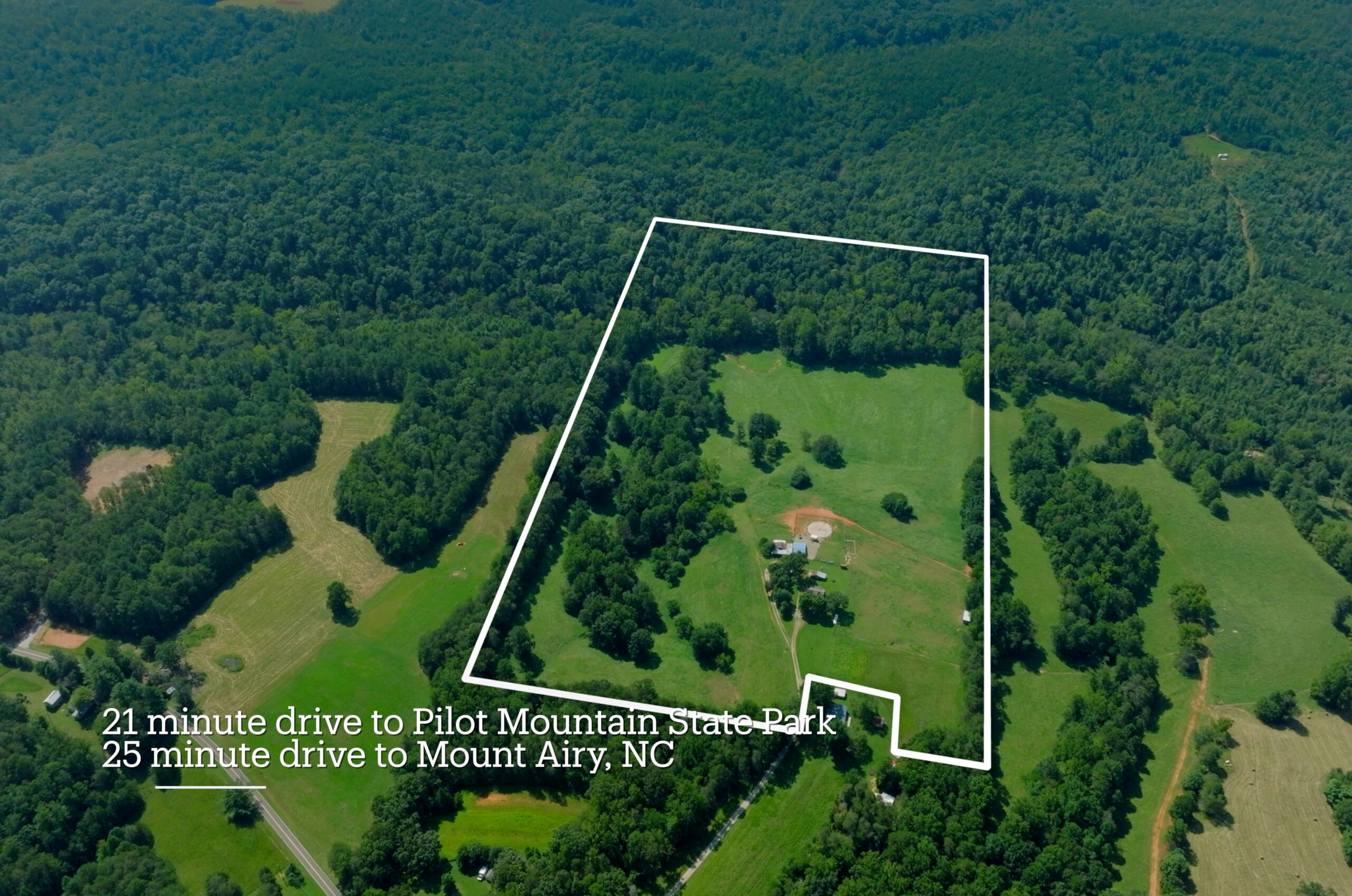
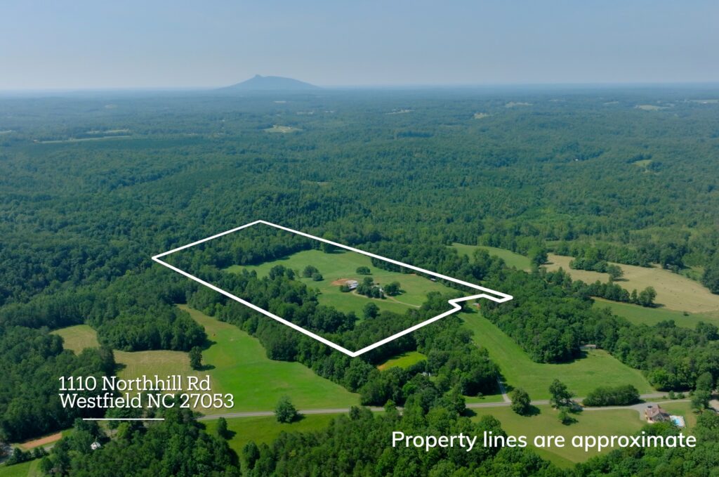
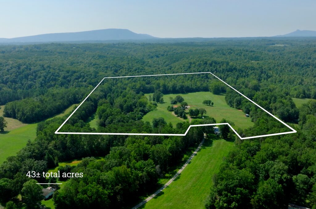
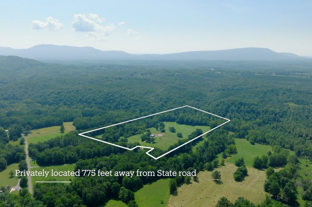
Discover a rare opportunity to own 43± acres of highly usable farmland, pasture, hardwood timber, and creek frontage in a private country setting just minutes from Pilot Mountain, Hanging Rock State Park, Mount Airy, and the Yadkin Valley region. Tucked approximately 775 feet off NC Highway 66 North, this versatile farm offers the privacy and quiet of a rural retreat while remaining conveniently accessible.
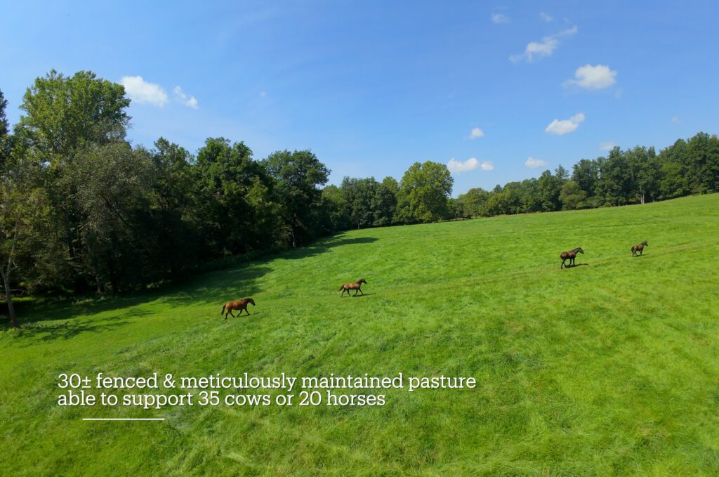
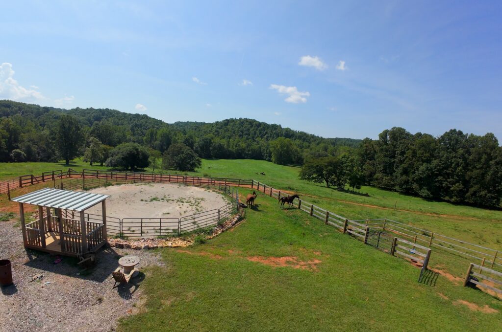
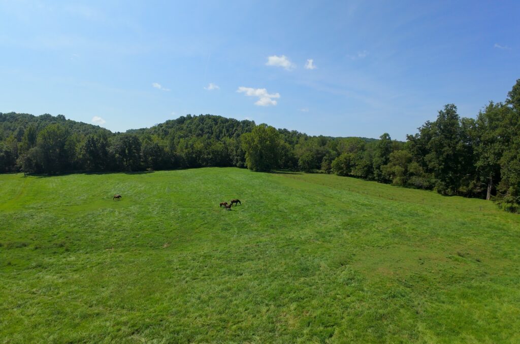
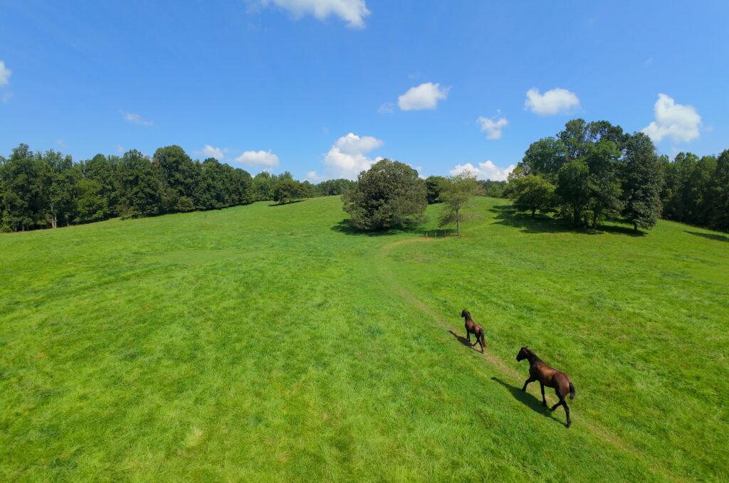
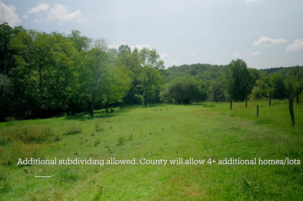
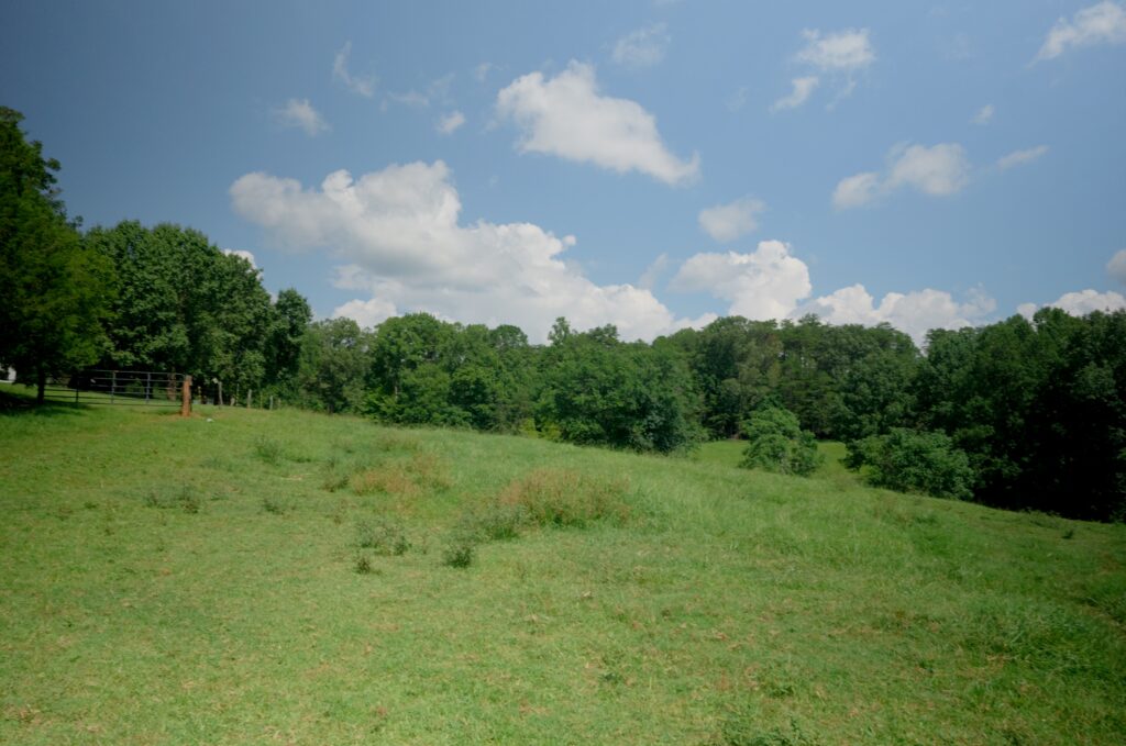
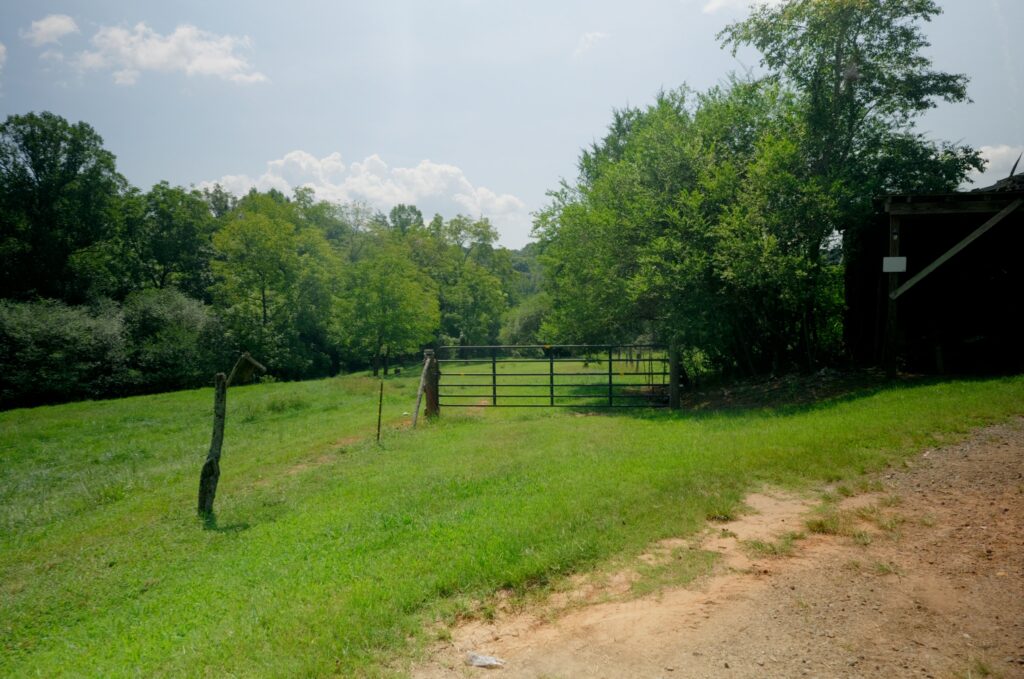
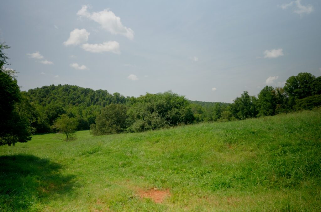
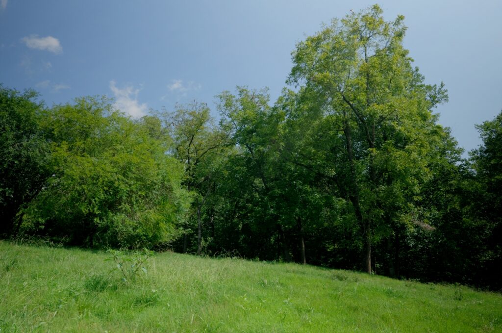
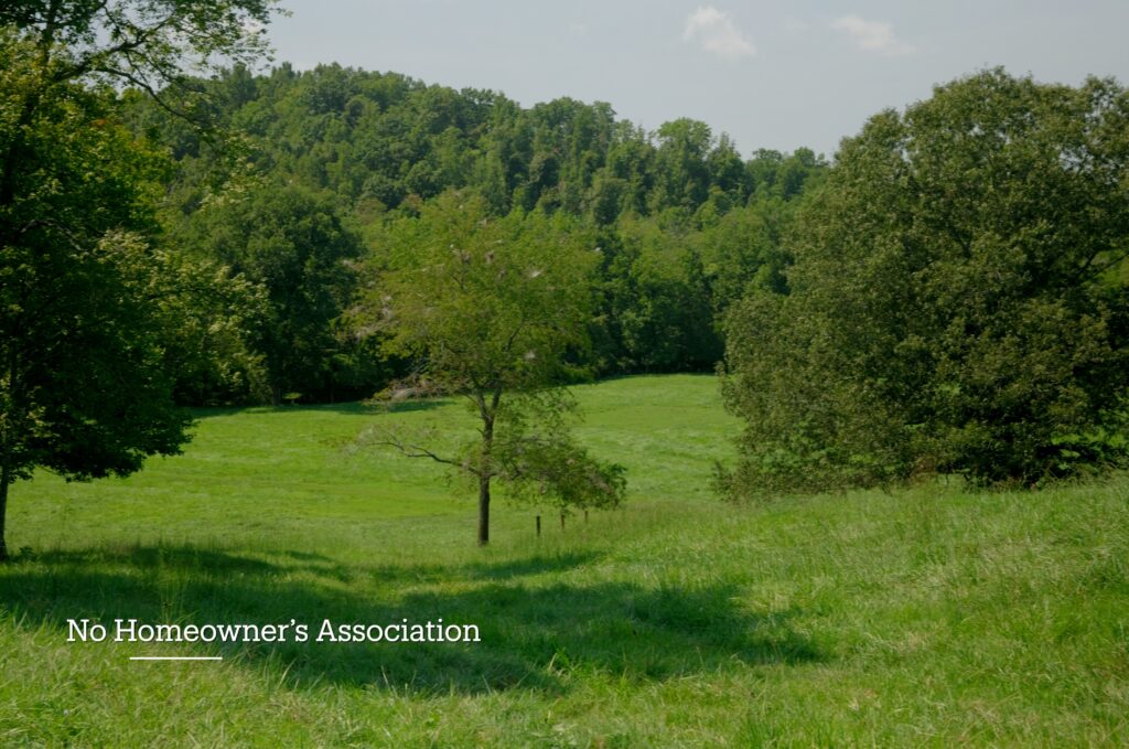
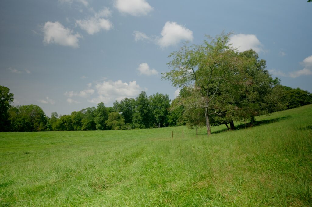
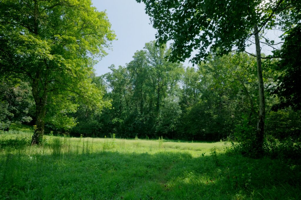
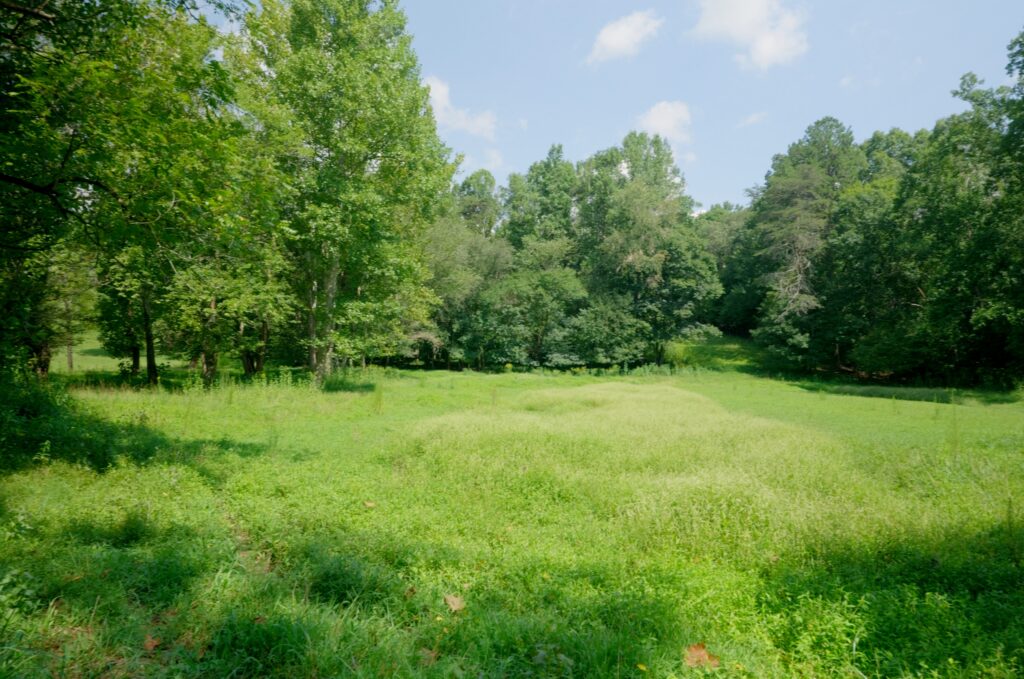
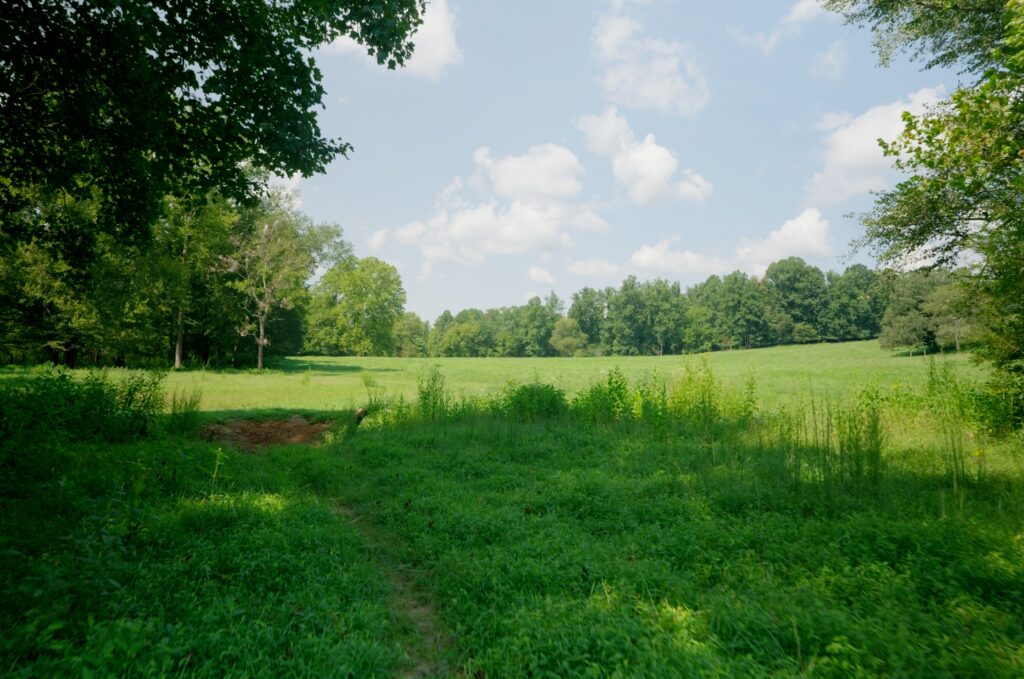
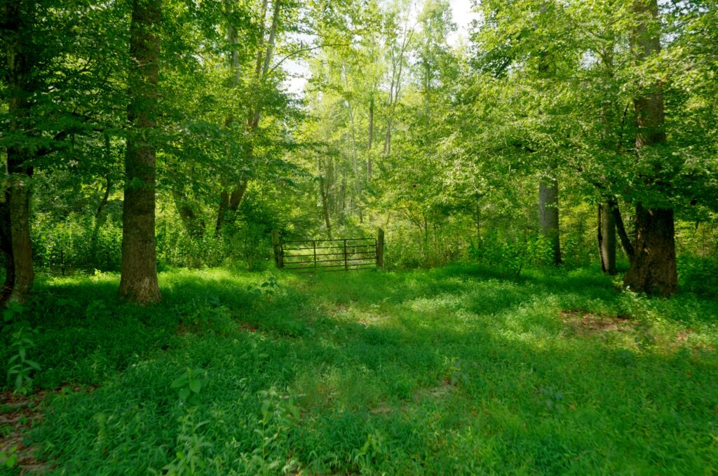
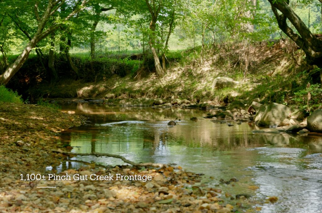
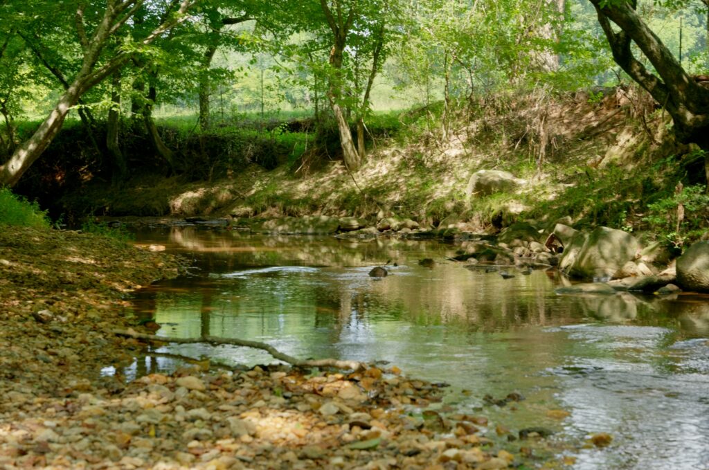
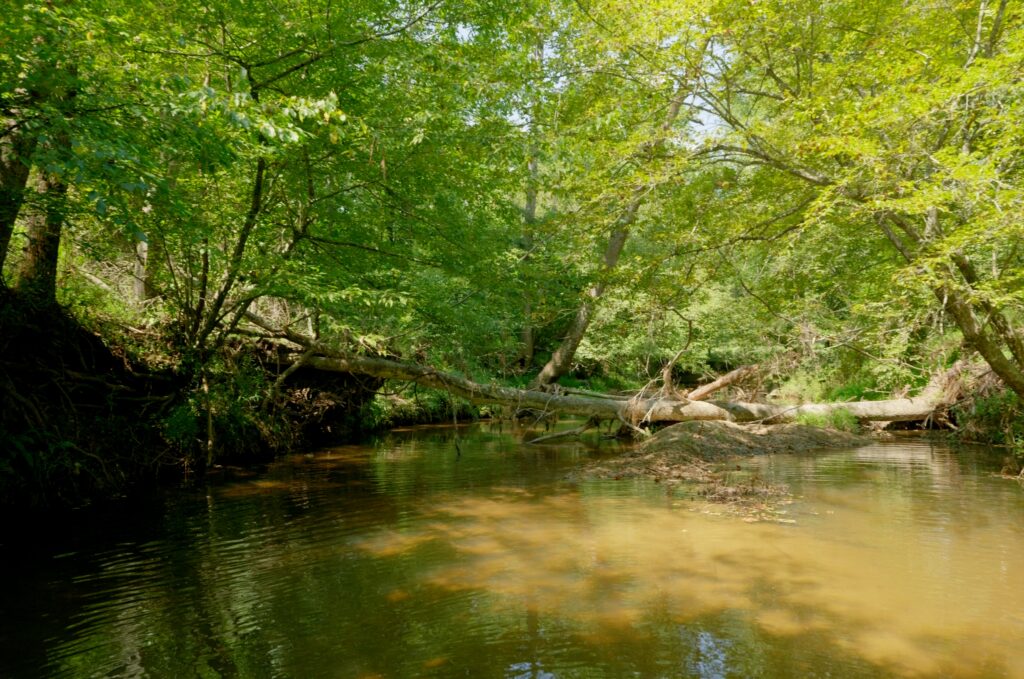
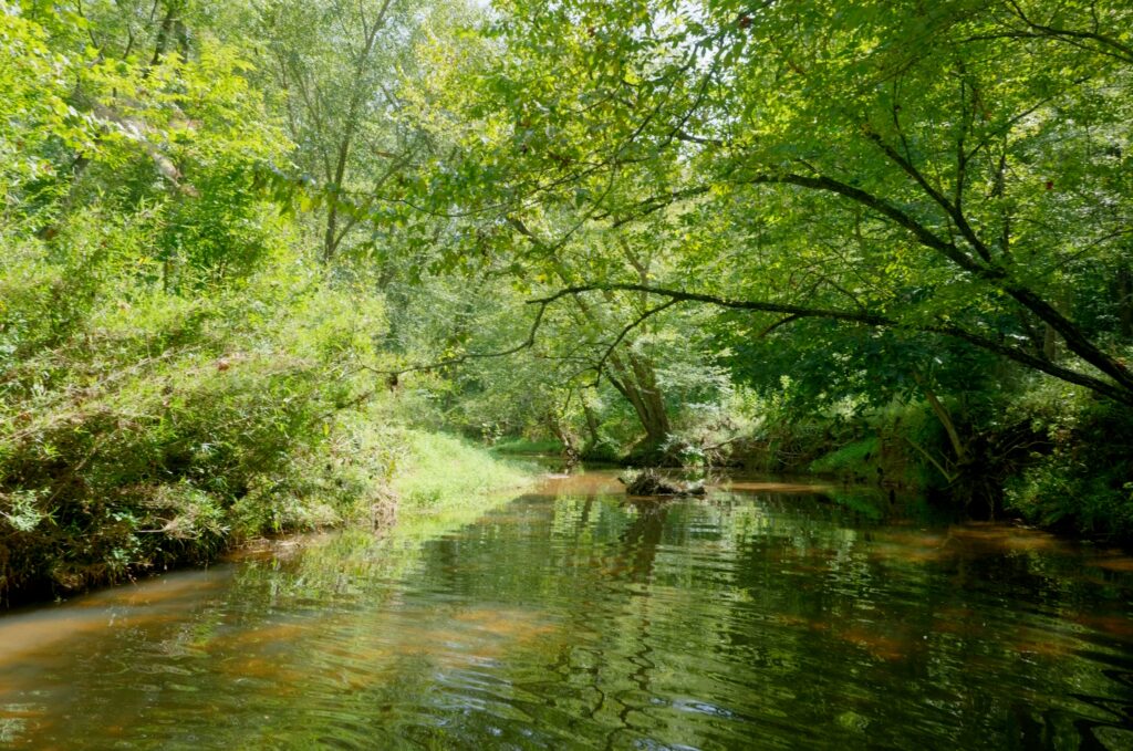
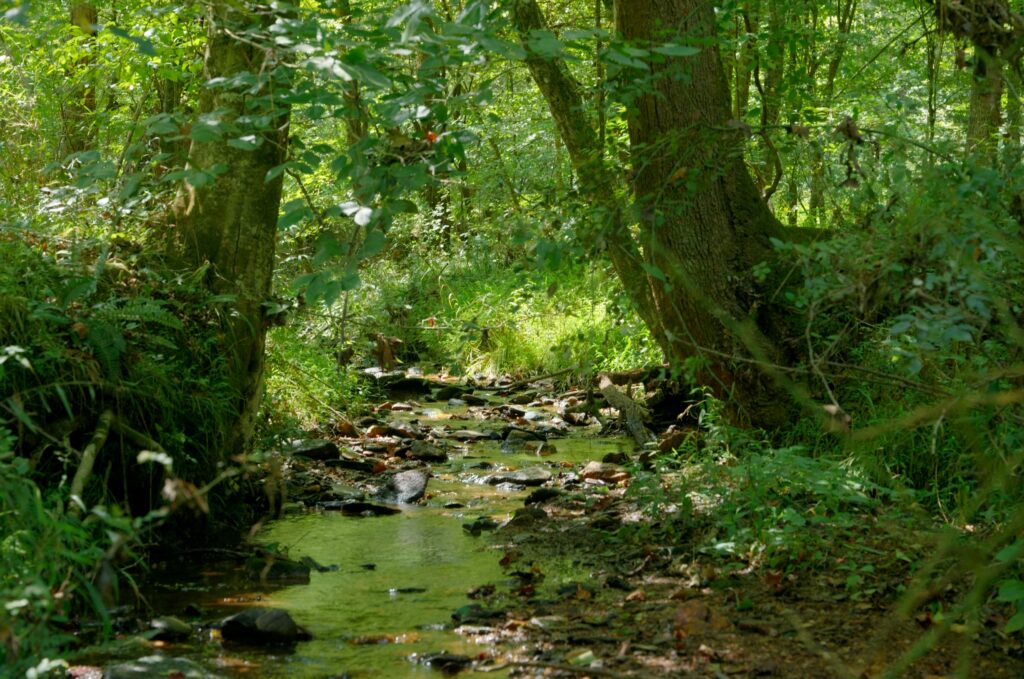
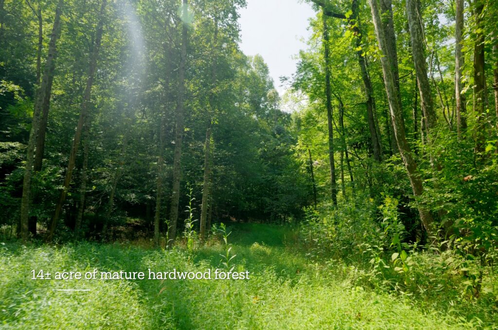
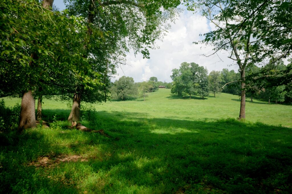
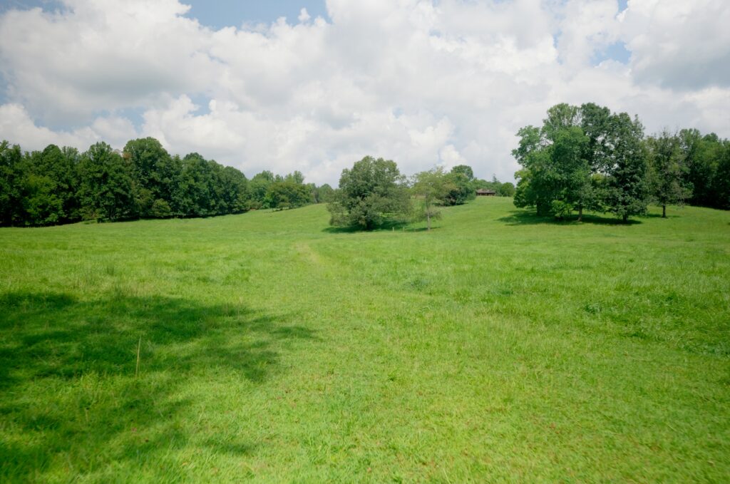
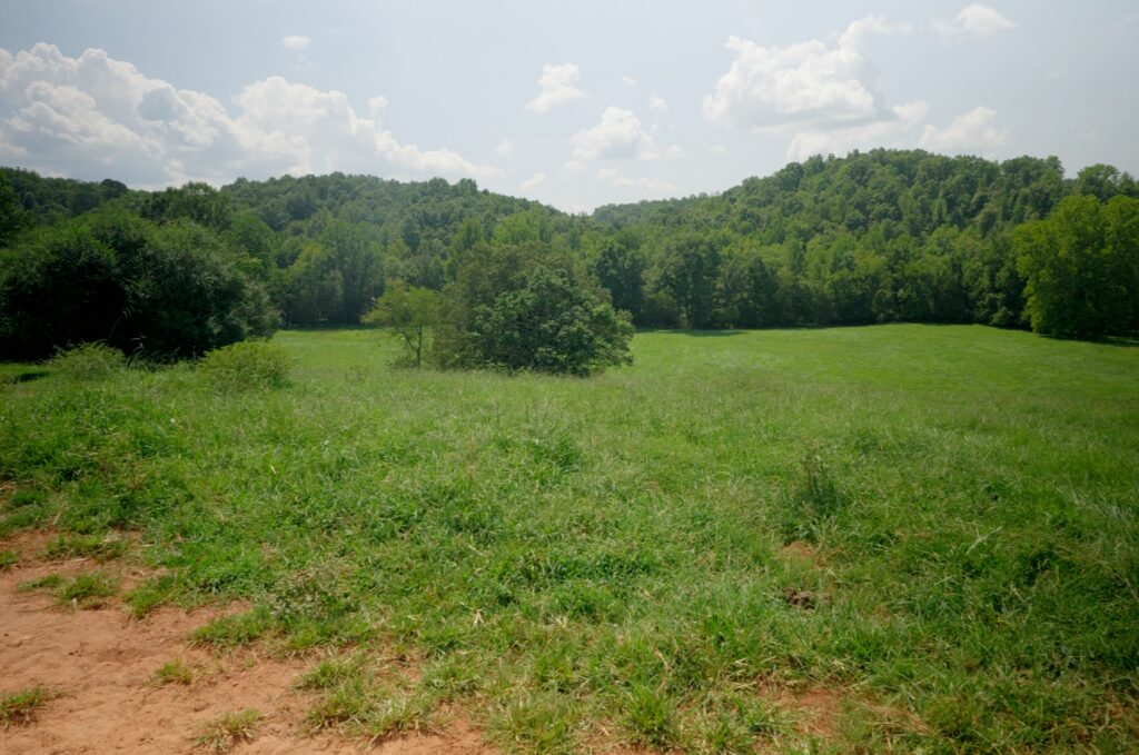
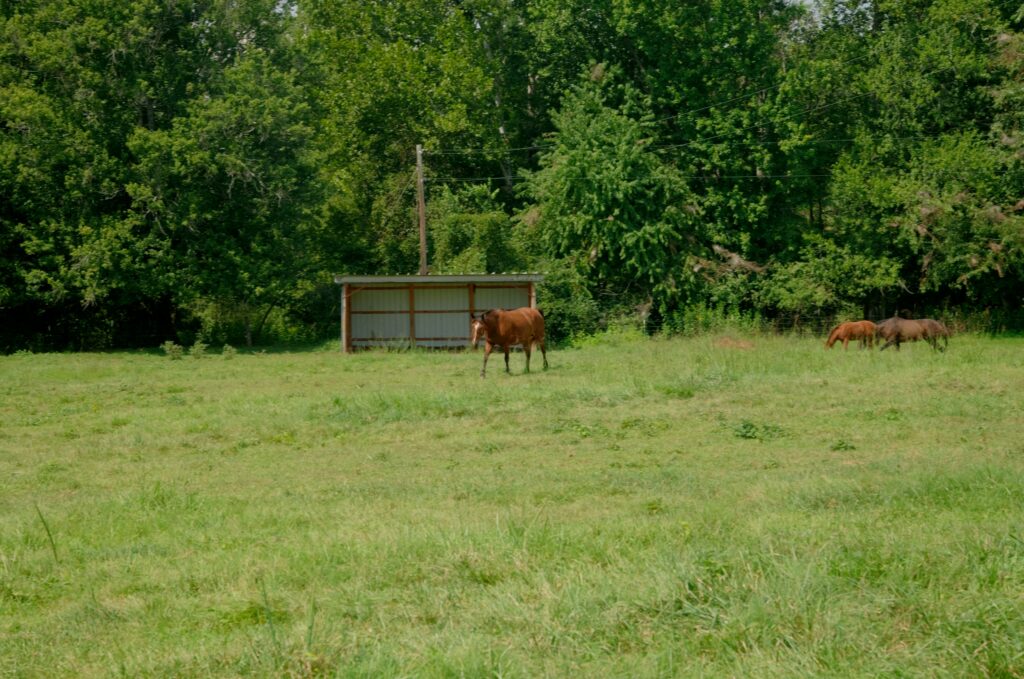
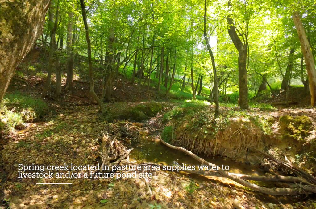
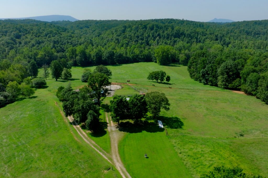
The property features approximately 30± acres of fenced, meticulously maintained pasture currently capable of supporting an estimated 35 cows or 20 horses, along with approximately 14± acres of mature hardwood forest for recreation, wildlife habitat, shade, and long-term timber value. Pinch Gut Creek divides the property for approximately 1,100 feet, while an additional spring-fed creek runs through the pasture and provides livestock water and an attractive potential pond site.
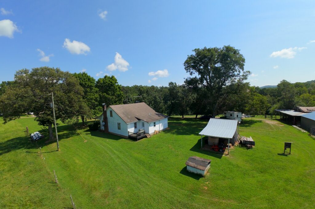
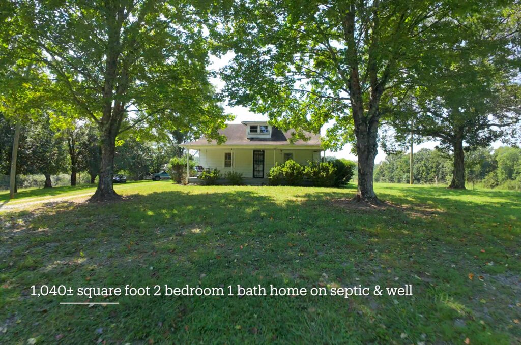
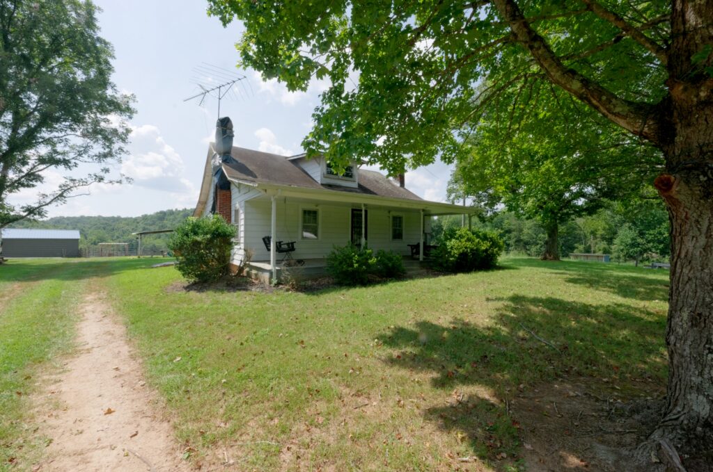
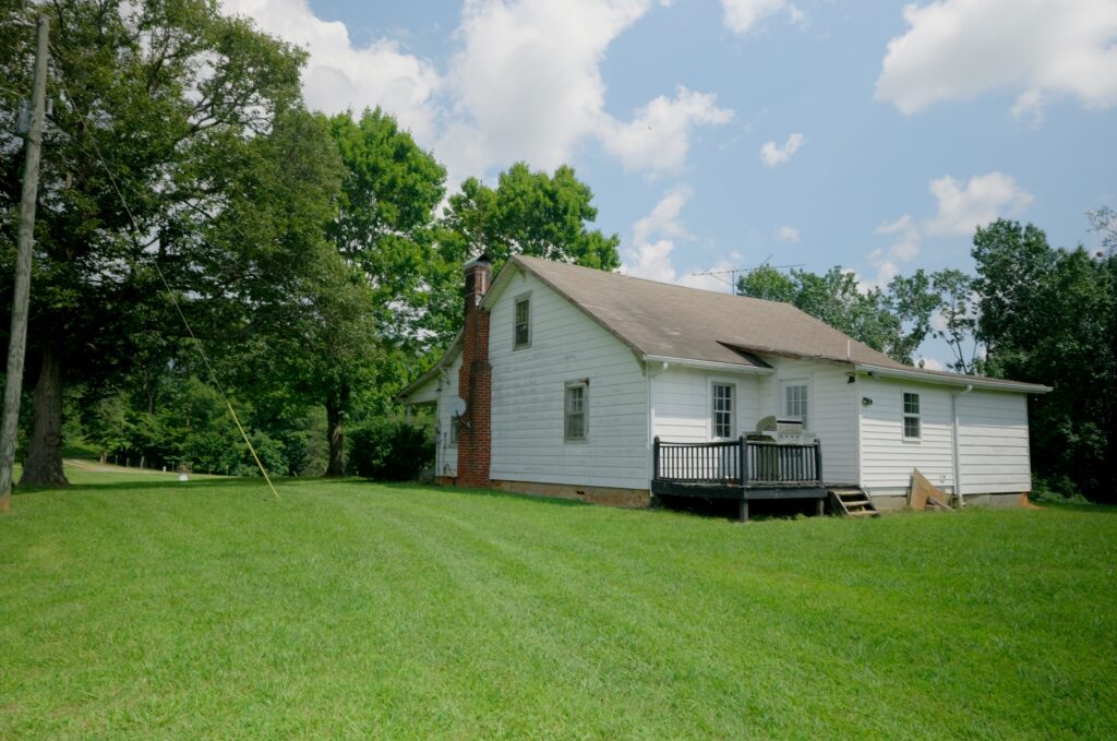
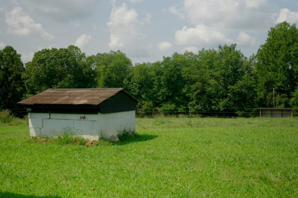
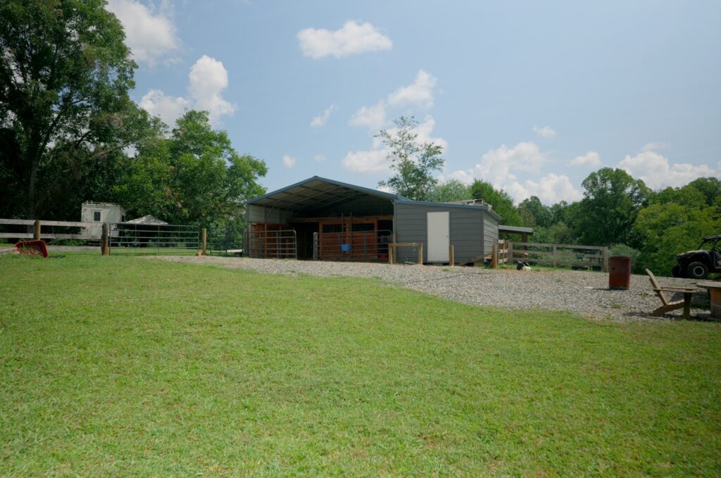
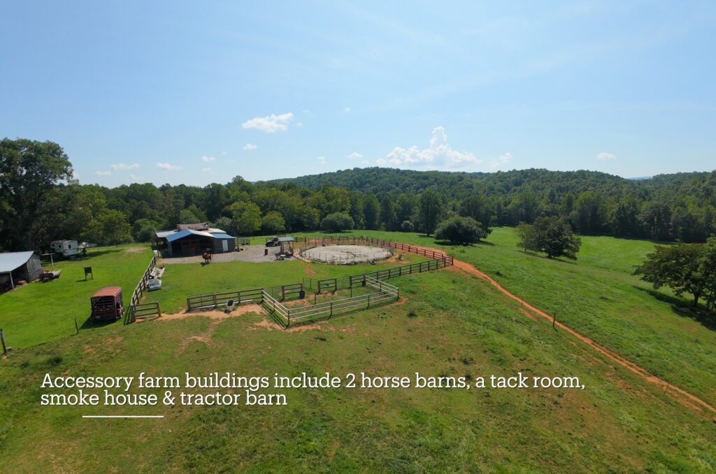
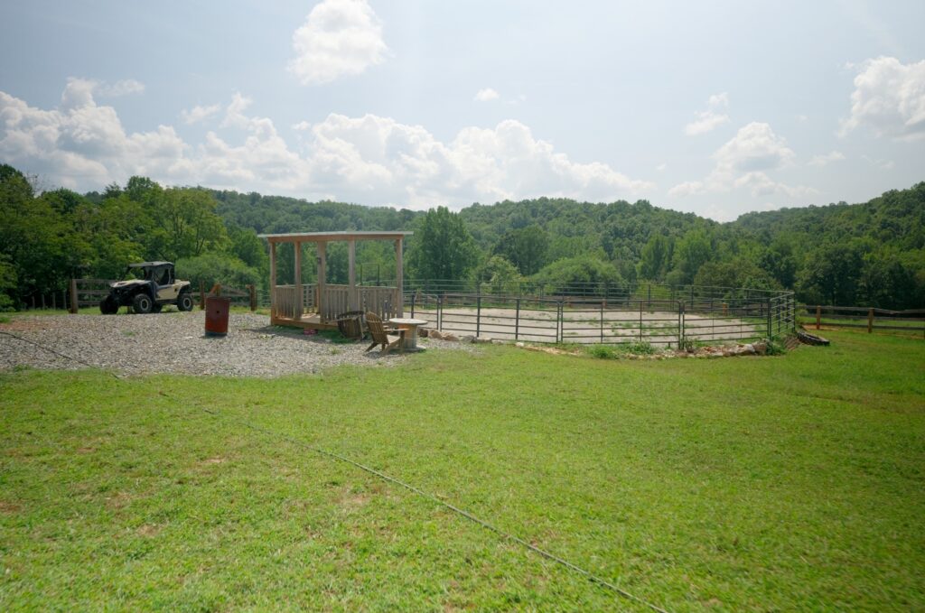
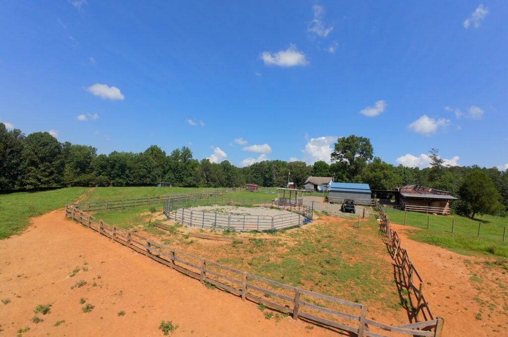
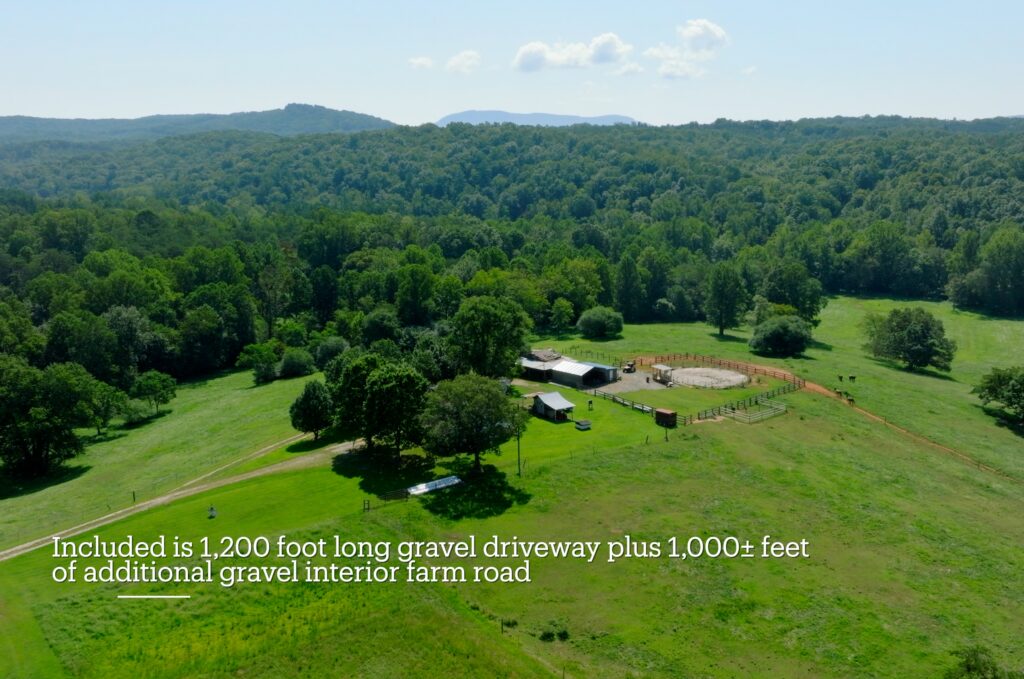
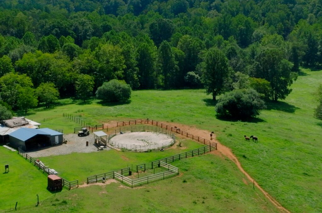
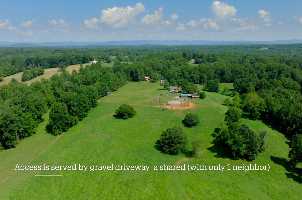
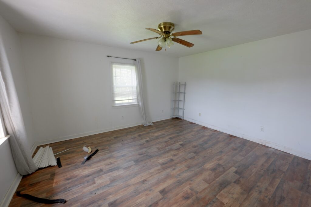
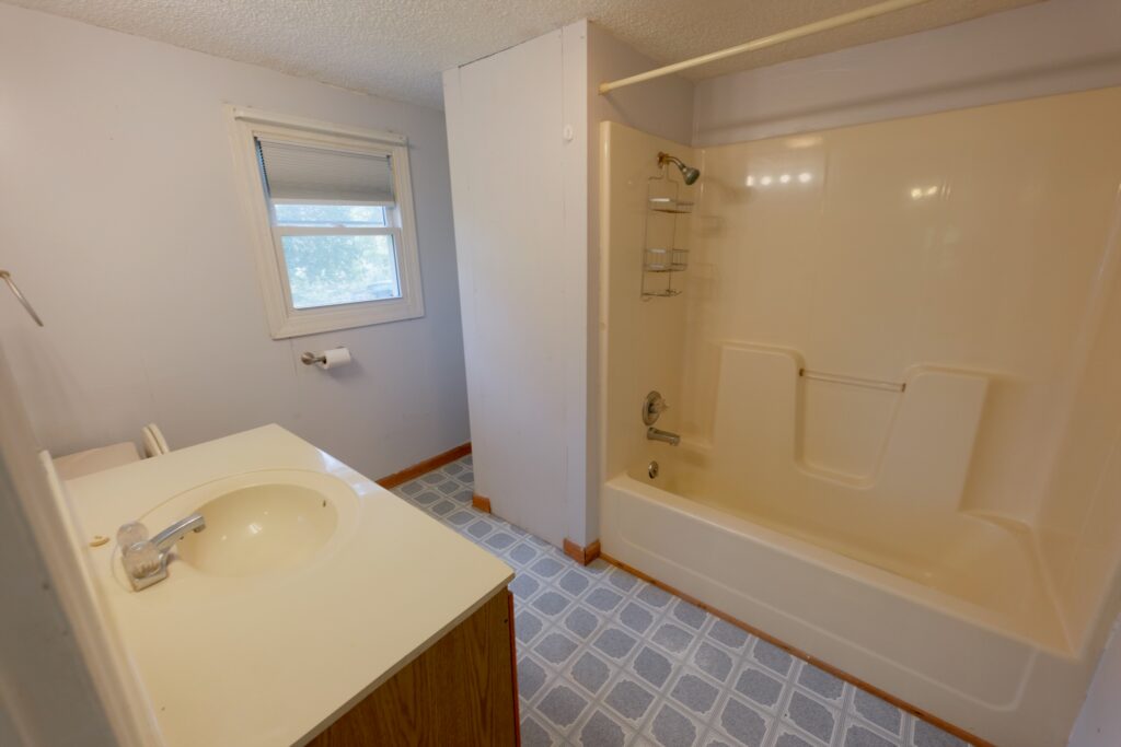
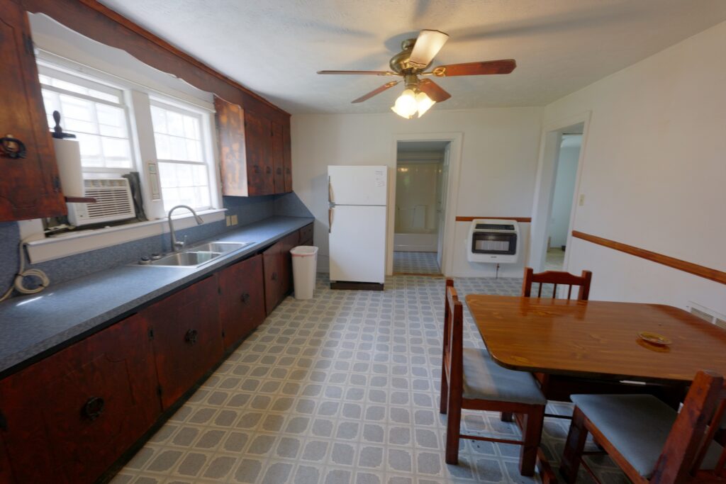
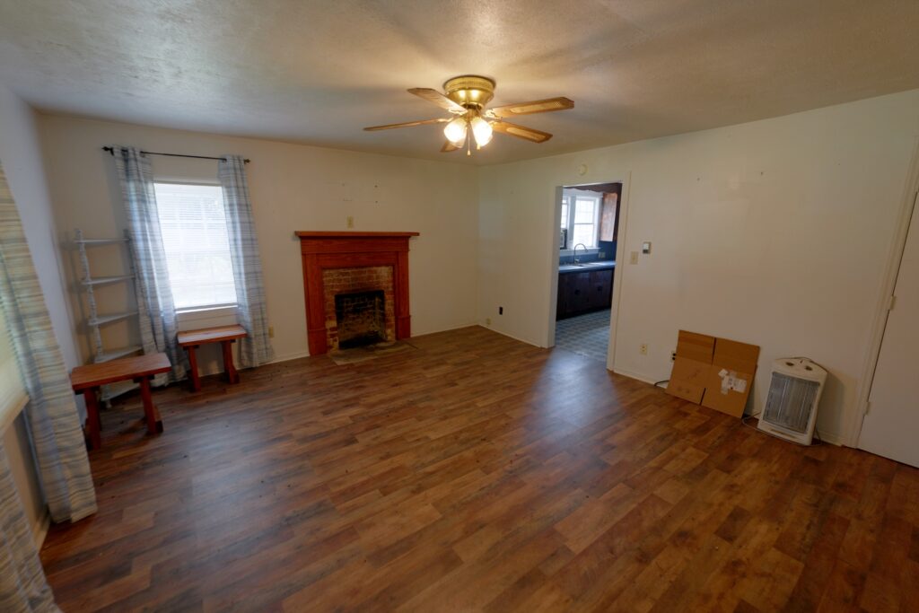
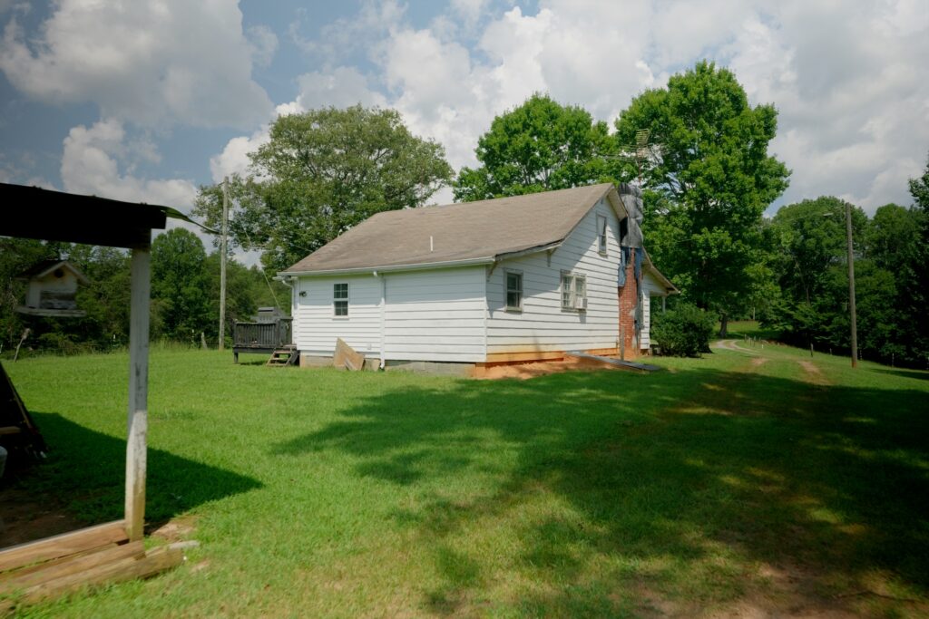
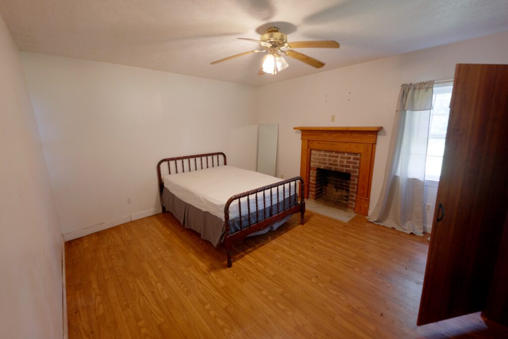
Improvements include a 1,040± square-foot, two-bedroom, one-bath home served by a private well and septic system, as well as two horse barns, a tack room, smokehouse, tractor barn, and other useful farm infrastructure. A 1,200± foot gravel driveway provides private access from the state road, with approximately 1,000 additional feet of interior gravel farm road for convenient access throughout the property. The shared driveway is used by only one neighboring property.
With fiber-optic service available along NC Highway 66 North, a favorable soils profile that appears conducive to conventional septic systems, and the potential for four or more additional homesites or lots subject to county approval and buyer verification, this property offers compelling flexibility for an equestrian estate, cattle farm, family compound, recreational retreat, or future subdivision project.
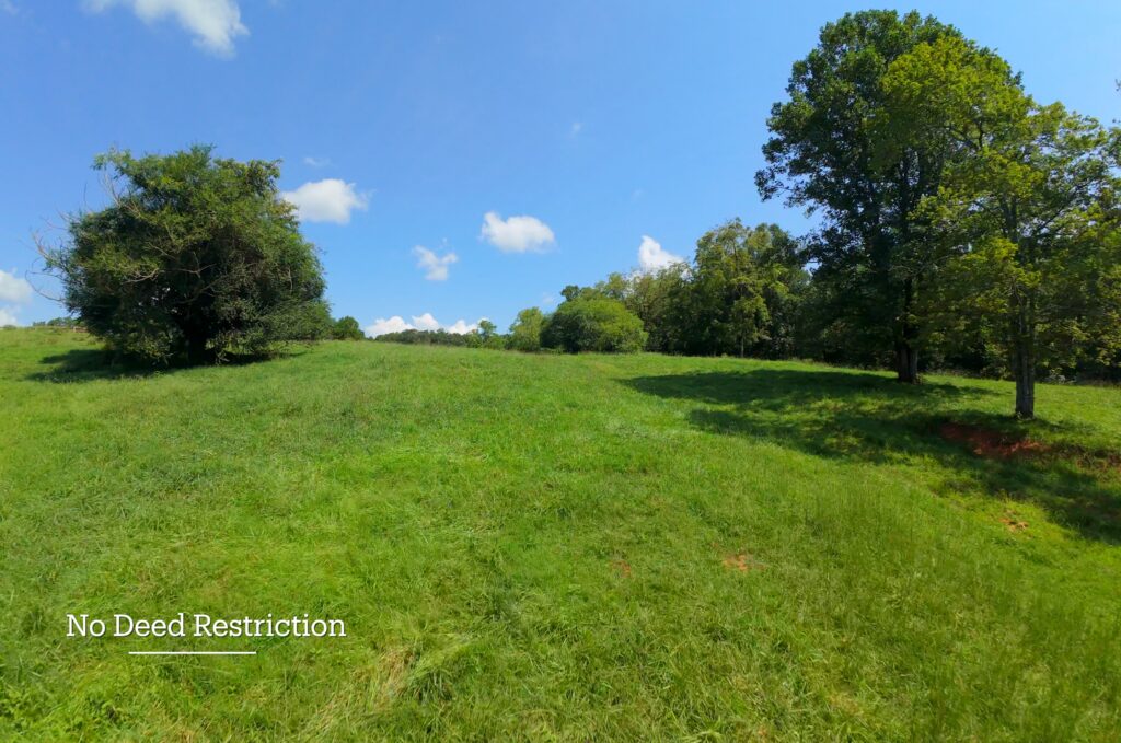
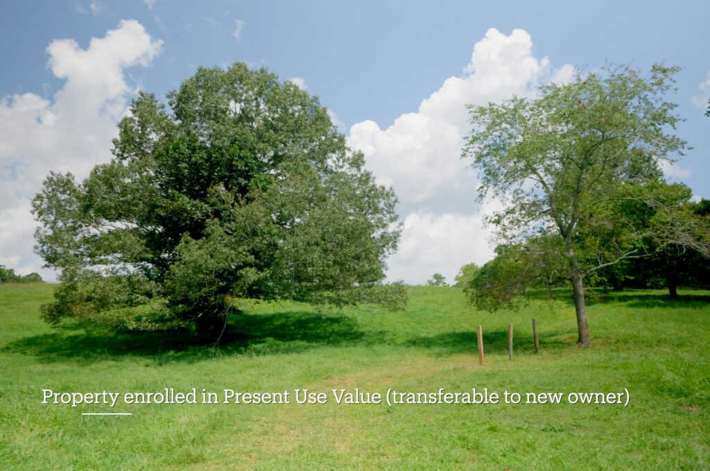
There is no HOA and no deed restrictions. The property is enrolled in North Carolina’s Present-Use Value program, offering low annual property taxes of approximately $584.87 transferable to new owner*
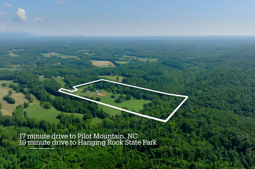
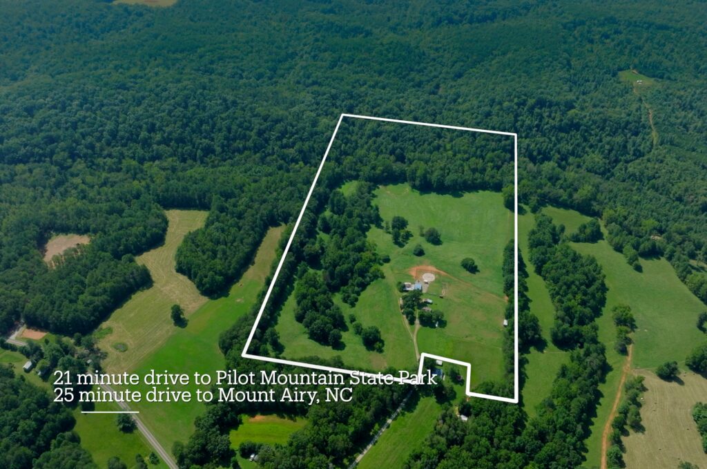
Enjoy an outstanding location approximately 17 minutes to Pilot Mountain, 19 minutes to Hanging Rock State Park, 21 minutes to Pilot Mountain State Park, and 25 minutes to Mount Airy. Hanging Rock and Pilot Mountain State Parks provide access to some of the region’s best hiking, waterfalls, scenic overlooks, camping, paddling, and outdoor recreation.
Property Videos
(play full screen for best quality)
Uses
Single Family Residential, Farm, Recreation
Lot Information & Price
| Status | Size (acres) | Price | Parcel PIN |
| Under Contract | 43± | $599,000 | 5999-32-1057 |
Property Features
- 43± total acres
- 30± fenced & meticulously maintained pasture able to support 35 cows or 20 horses
- 14± acre of mature hardwood forest
- 1,100± Pinch Gut Creek Frontage
- Spring creek located in pasture area supplies water to livestock and/or a future pond site
- Fiber optic on NC 66 Highway N
- 1,040± square foot 2 bedroom 1 bath home on septic & well
- Most soils on the property are conducive for conventional septic that would support additional home/septic sites
- Additional subdividing allowed. County will allow 4+ additional homes/lots
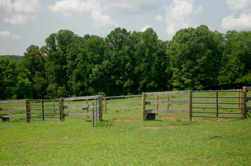
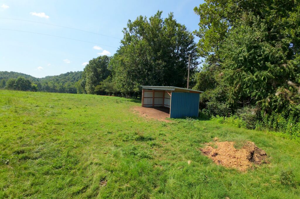
- Accessory farm buildings include 2 horse barns, a tack room, smoke house & tractor barn
- Privately located 775 feet away from State road
- Access is served by gravel driveway a shared (with only 1 neighbor)
- Included is 1,200 foot long gravel driveway plus 1,000± feet of additional gravel interior farm road
- No Homeowner’s Association
- No Deed Restriction
- Low County 0.715% property taxes only $584.87 per year
- Property enrolled in Present Use Value (transferable to new owner)
Distances
- 17 minute drive to Pilot Mountain, NC
- 19 minute drive to Hanging Rock State Park
- 21 minute drive to Pilot Mountain State Park
- 25 minute drive to Mount Airy, NC
Property Maps & Attachments (click to access)
Location Map
Disclosures
Directions & Coordinates
From NC 89 Highway W take NC 66 Highway N south 1.4 miles and Northhill Road (private) will be on your right. Continue on Northhill Road 0.2 into property. Appointment Required – No Drive Bys. Use interactive map (link above) from your smartphone in order to navigate the lot with the Land ID App. You must download the LandID (free) app on your smartphone in order to see yourself on the map
GPS Coordinates 36.4689, -80.3840
Property Photographs

Contact
JOHN SHIPLEY
336-497-0749 (office)
info@theshipleyco.com
DISCLAIMER:
Information taken from reliable sources and thought to be correct. Potential buyers should perform their own due diligence and verify all information.
43 acres with House Stokes Co, NC