
Description
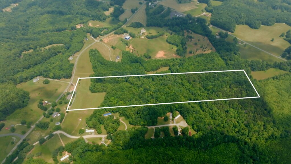
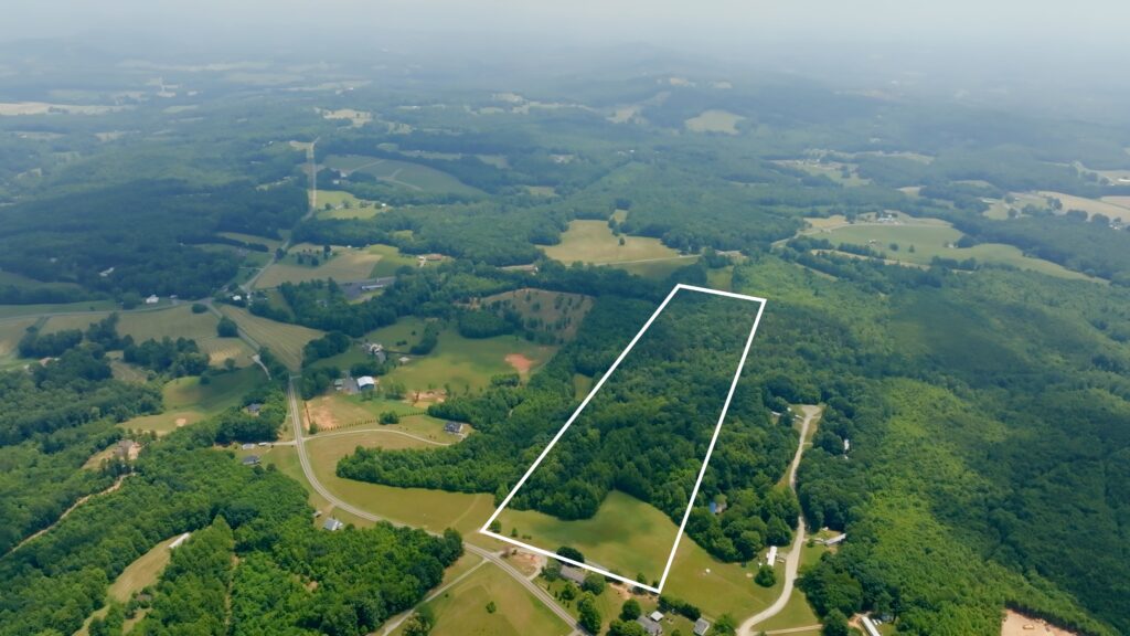
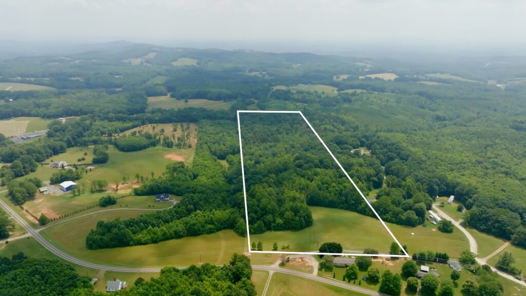
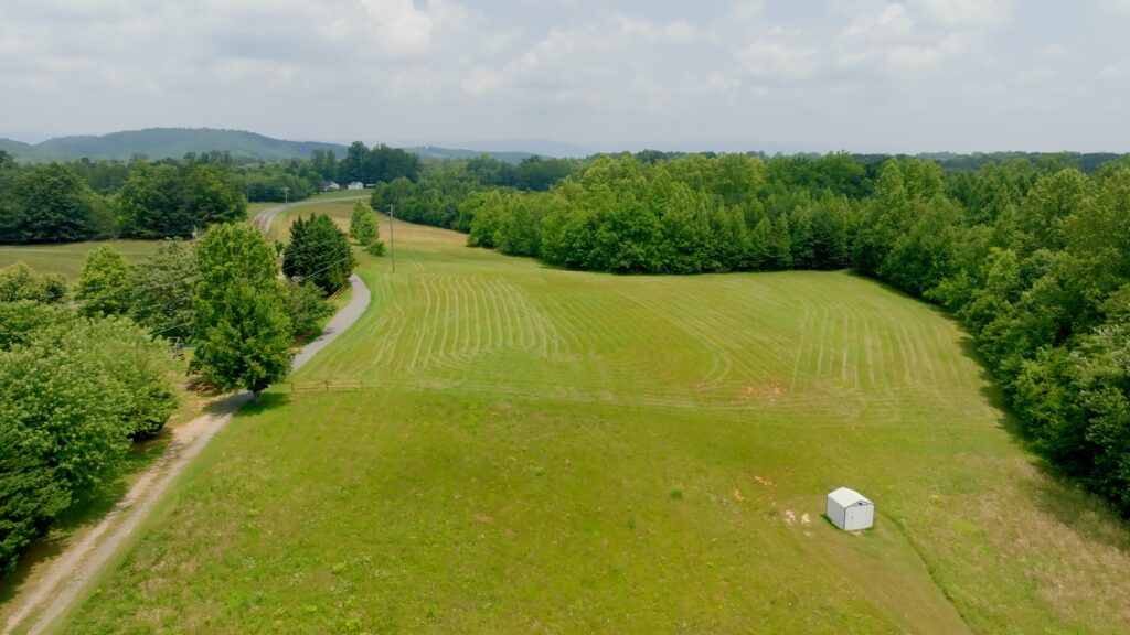
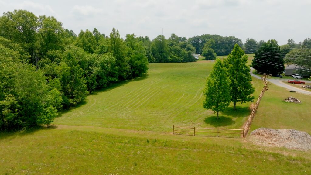
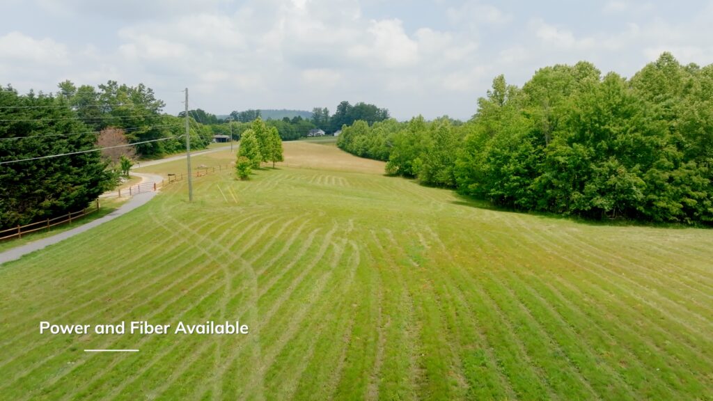
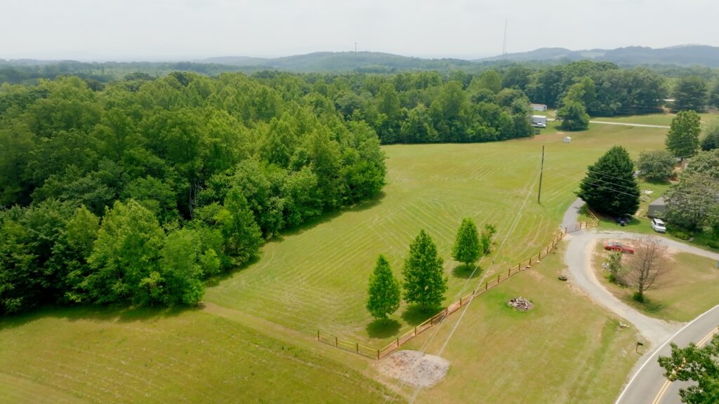
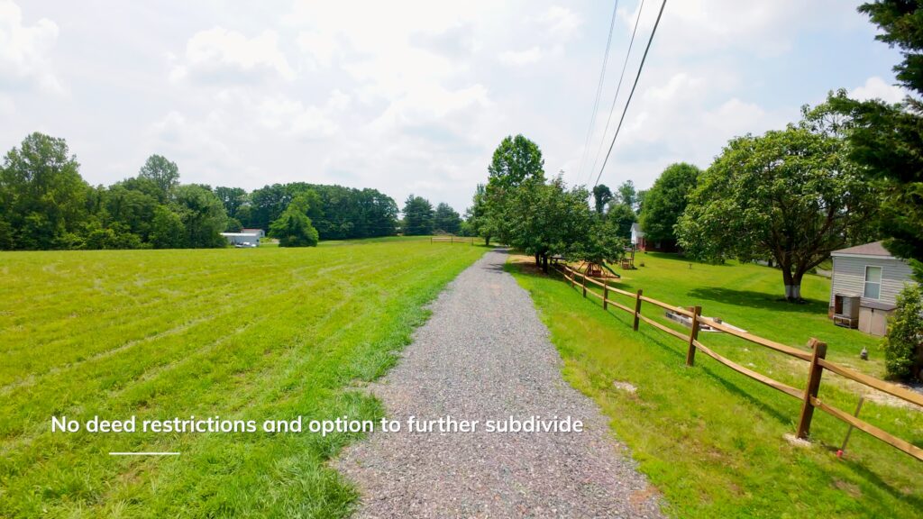
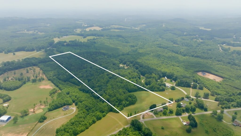
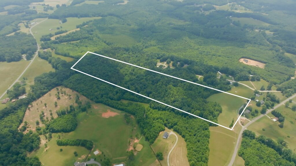
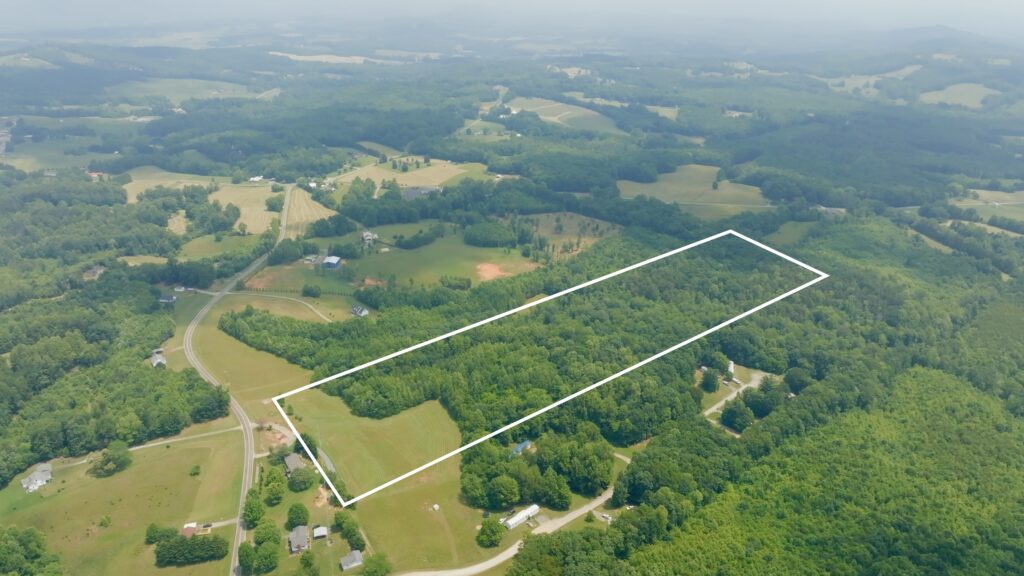
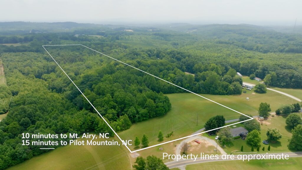
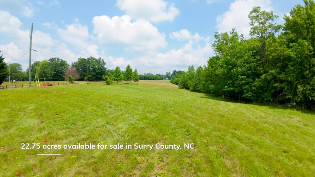
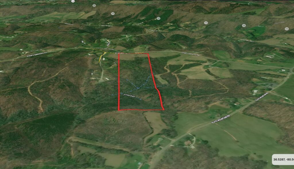
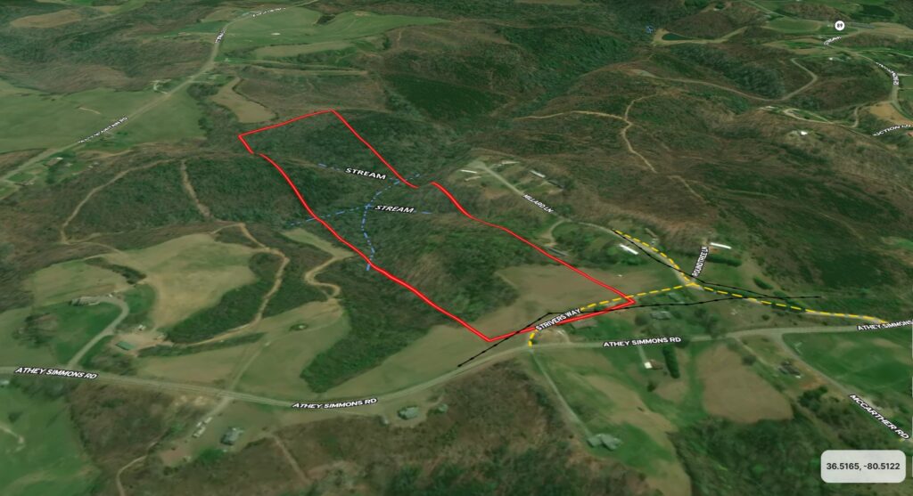
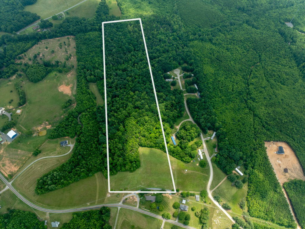
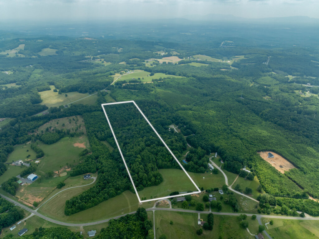
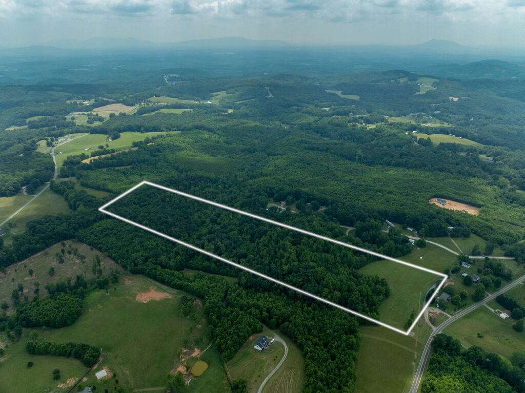
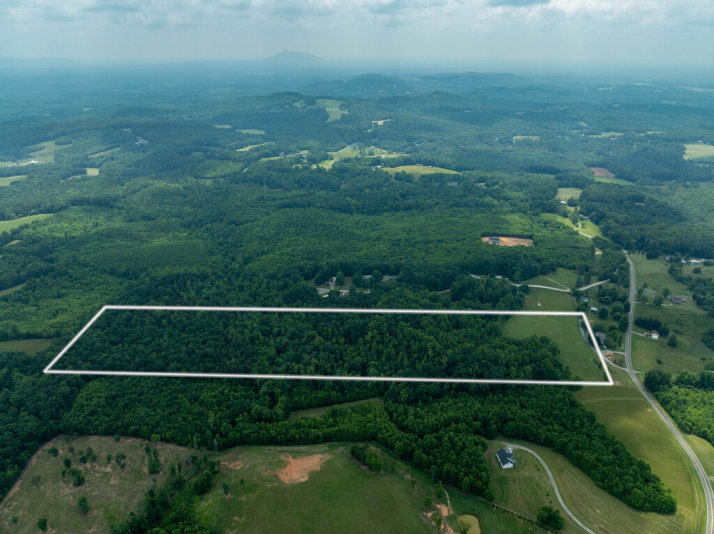
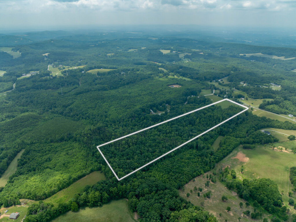
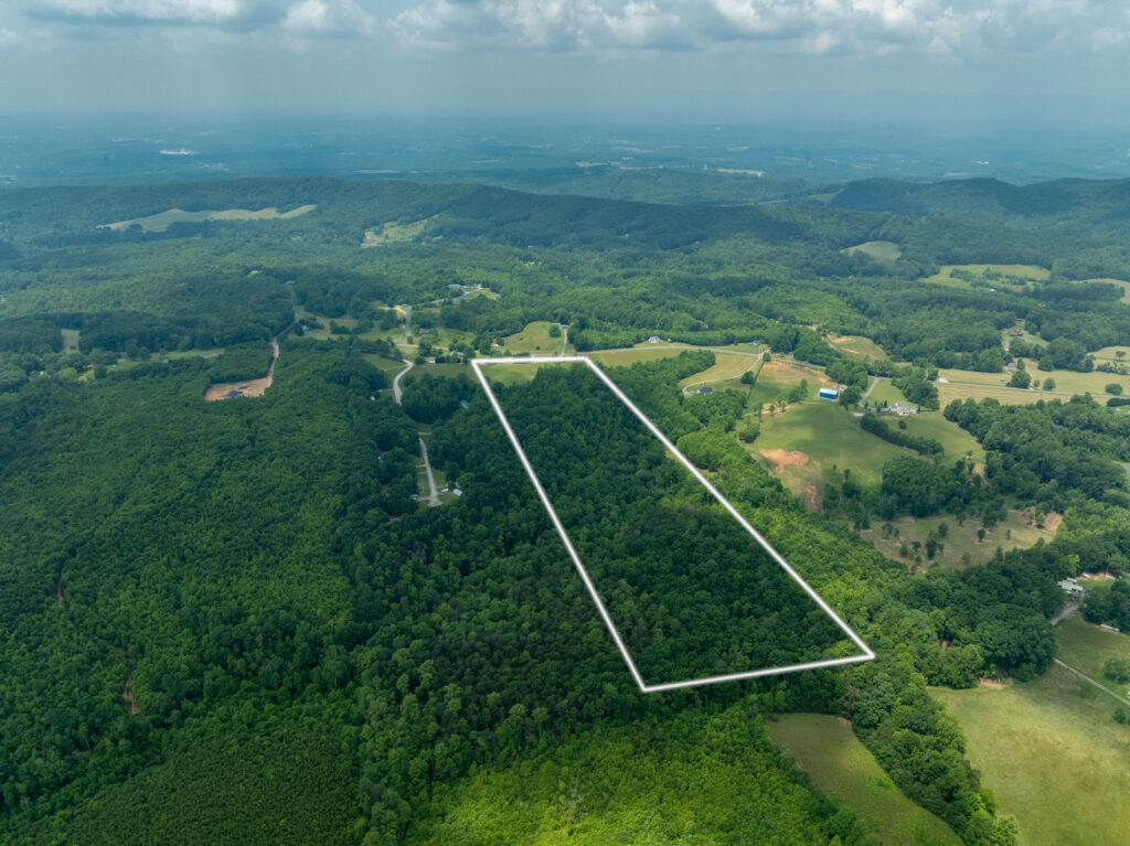
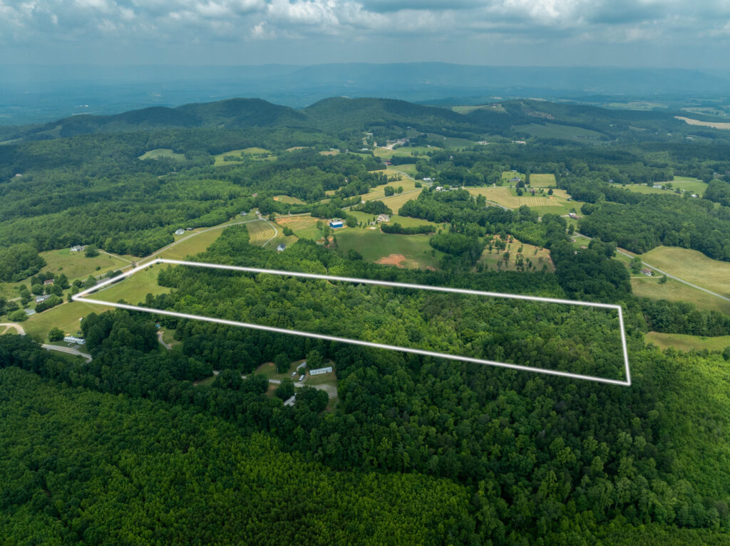
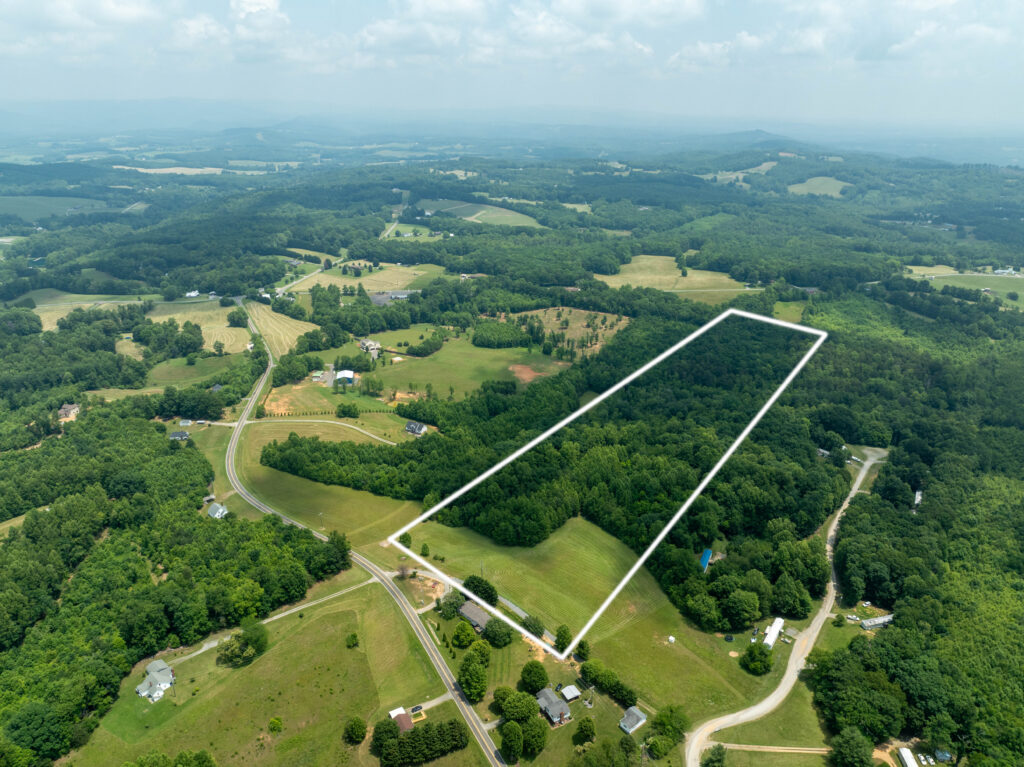
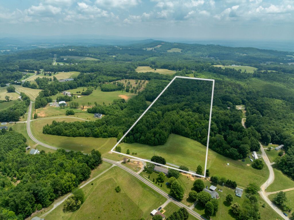
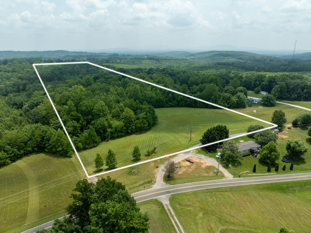
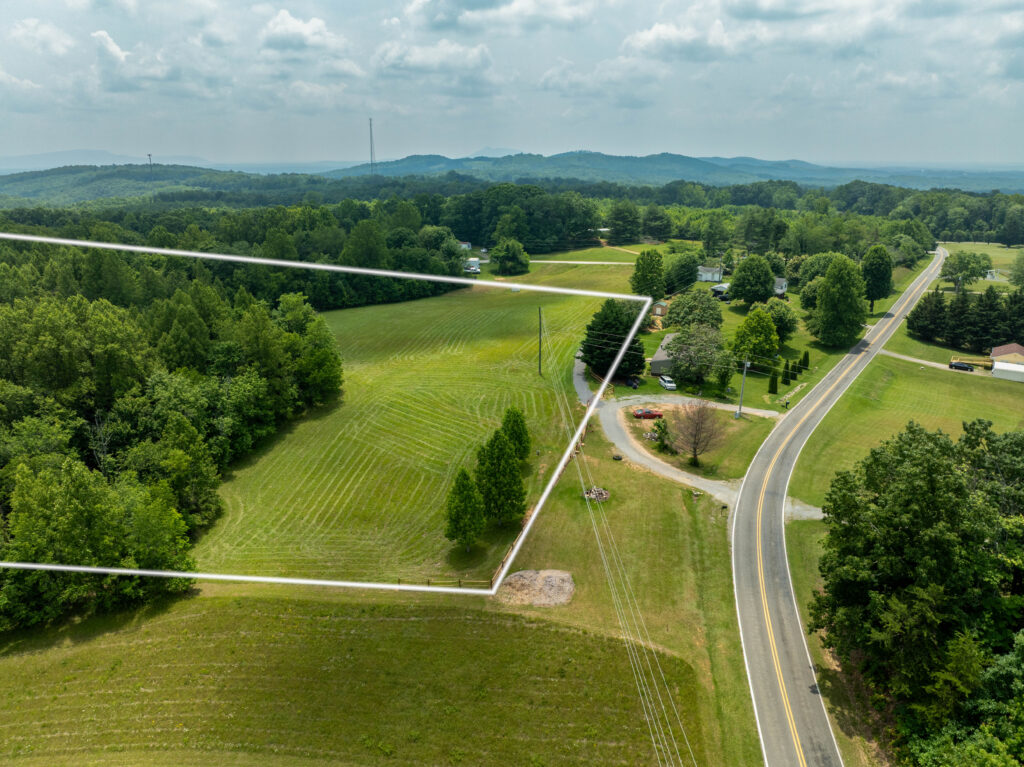
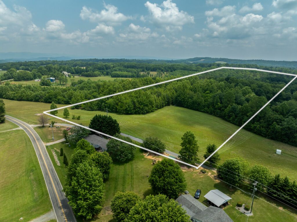
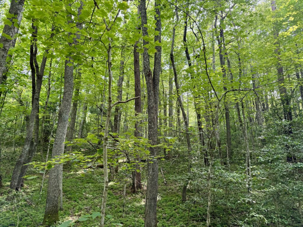
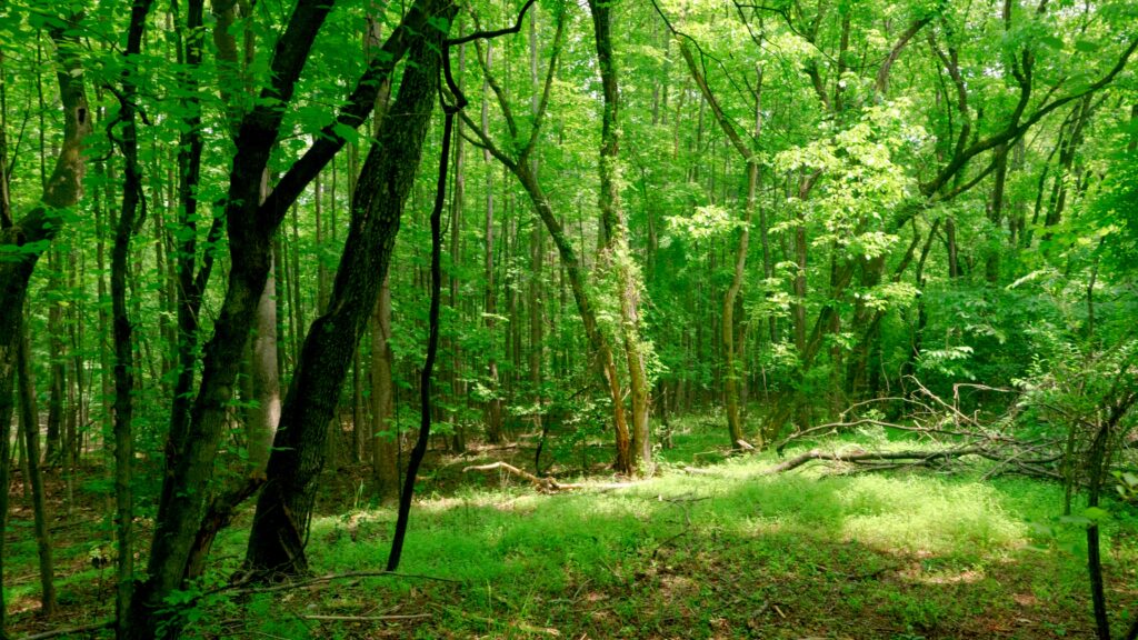
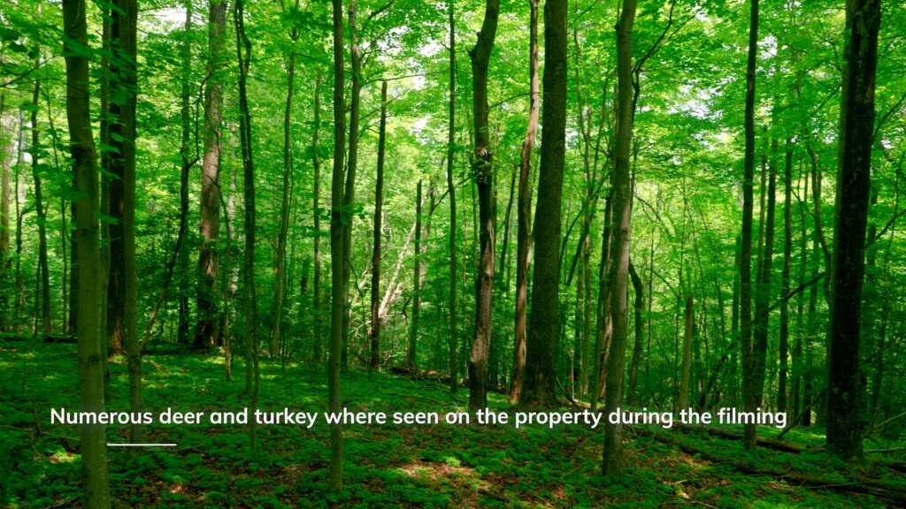
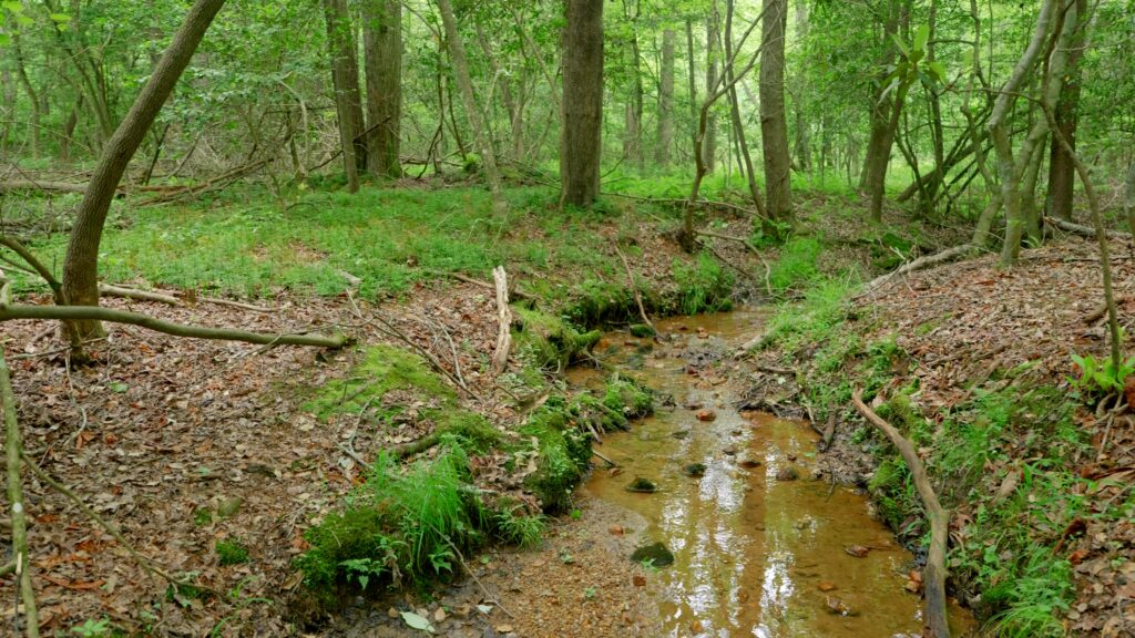
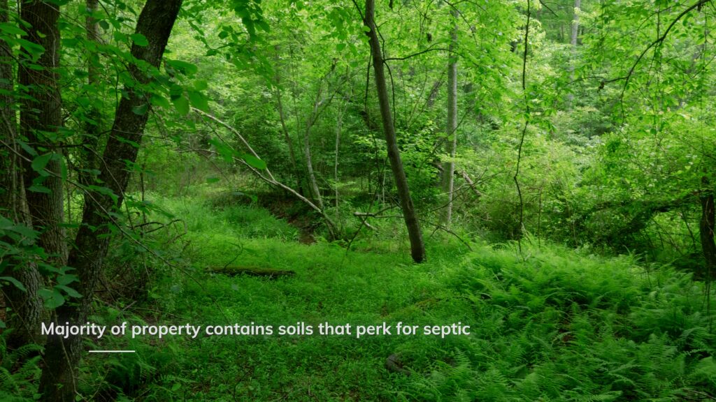
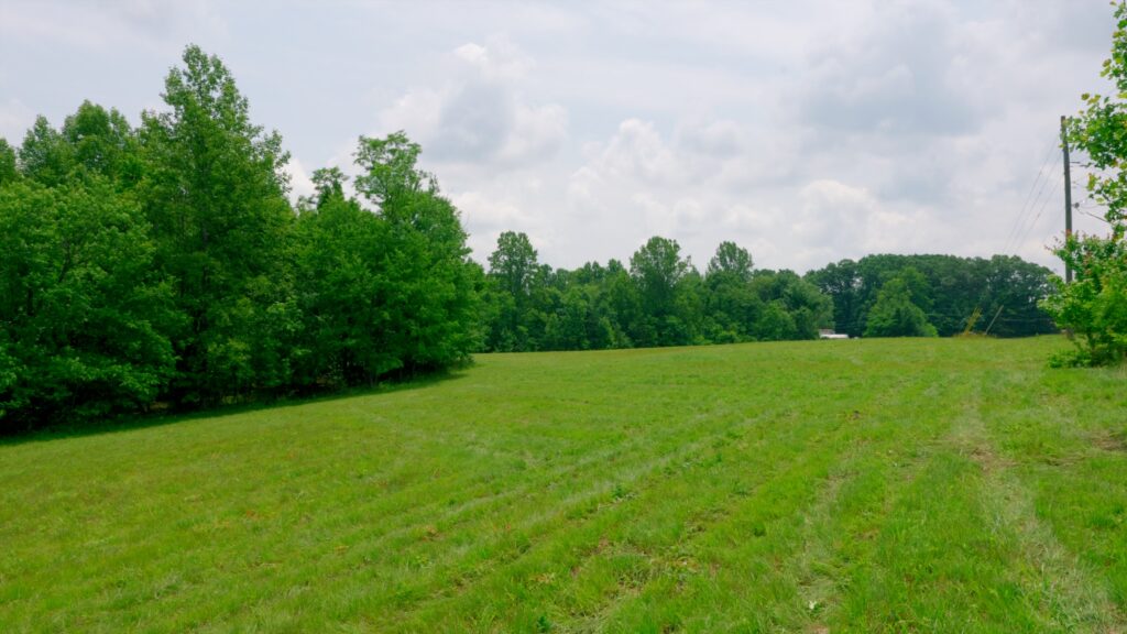
22.75 unrestricted and secluded acres located outside of Mount Airy in Surry County, North Carolina, at the dead end of a shared easement and gravel driveway — just a short drive to town conveniences, state parks, hunting, fishing, and boat ramps, offering the perfect mix of privacy and access. Excellent, almost flat topography as you enter the property, starting you out along a long and wide ridge that covers the front half of the property, offering several potential building sites and providing the new owner the option to build in the front of the property or halfway back without a ton of work. Property includes a 3-acre hay field and 19+ acres of mature hardwood timber valued at $50,000+, soils that support septic systems, several spring-fed creeks, and a future pond site — making it ideal for recreation, homesteading, or investment. Power and fiber available at the road for easy connection. No deed restrictions, and new owner can subdivide. Numerous deer and turkey were seen during the filming of this property. This is a ready-to-go tract in a high-demand area — call us today to walk it before it’s sold
Property Video
(play full screen for best quality)
Uses
Farming, Hunting, Investment, Recreational, Single Family Residential, Timber
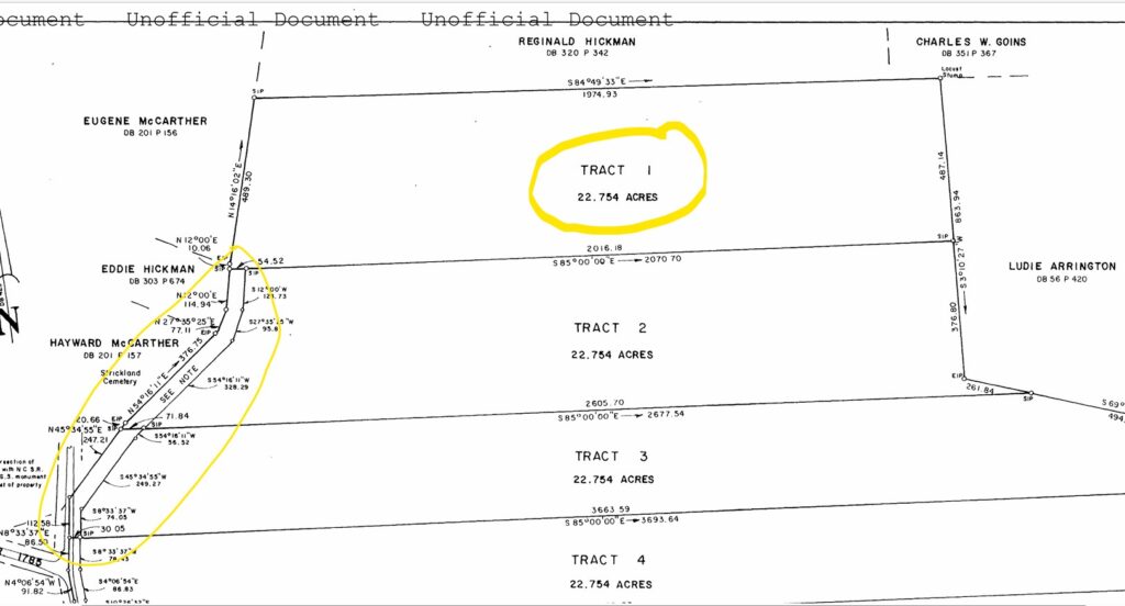
Parcel Information & Price
| Tax Parcel ID # | Size (ac) | Price | Status |
| 505100626133 | 22.75 | $170,000 | Closed |
Property Features
- 22.75 acres
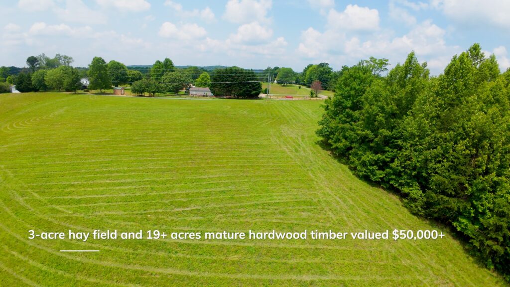
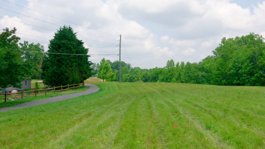
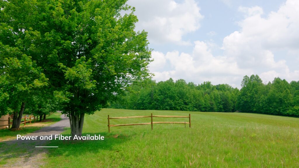
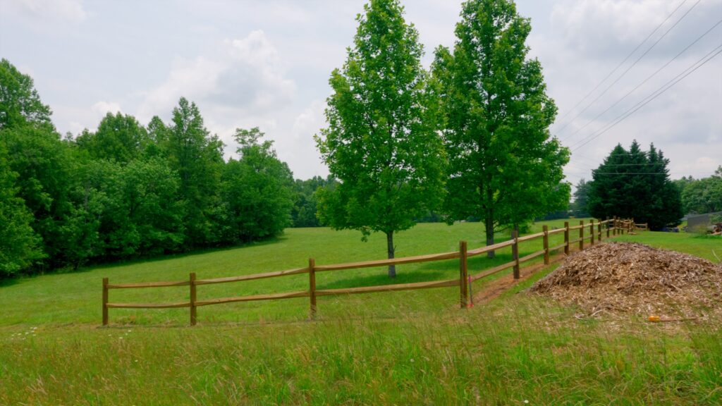
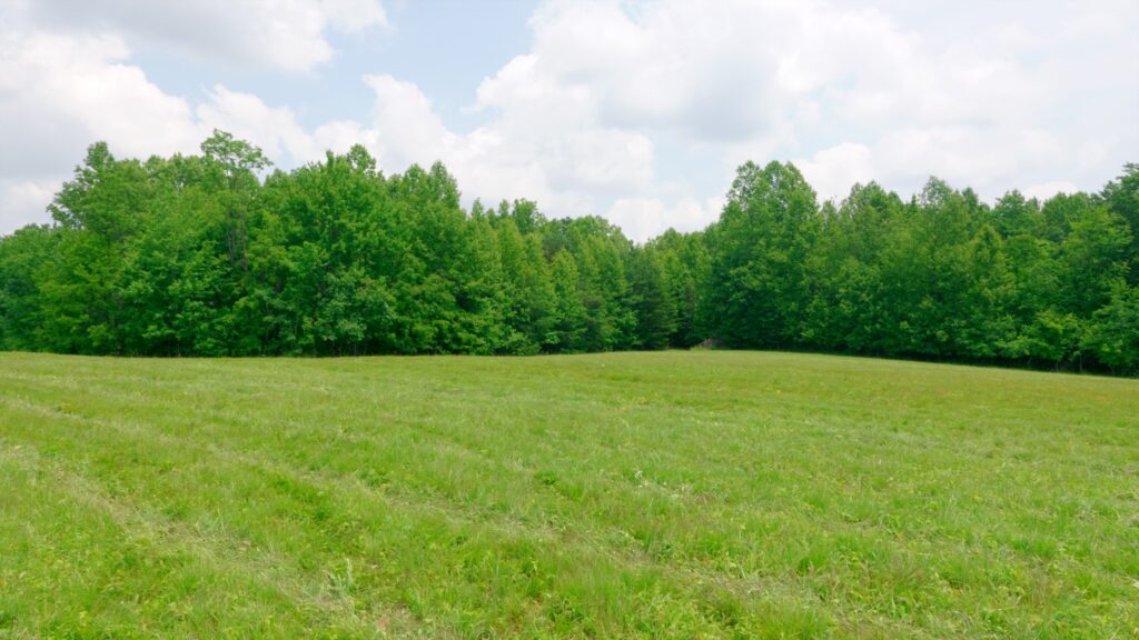
- 3 acre hay field
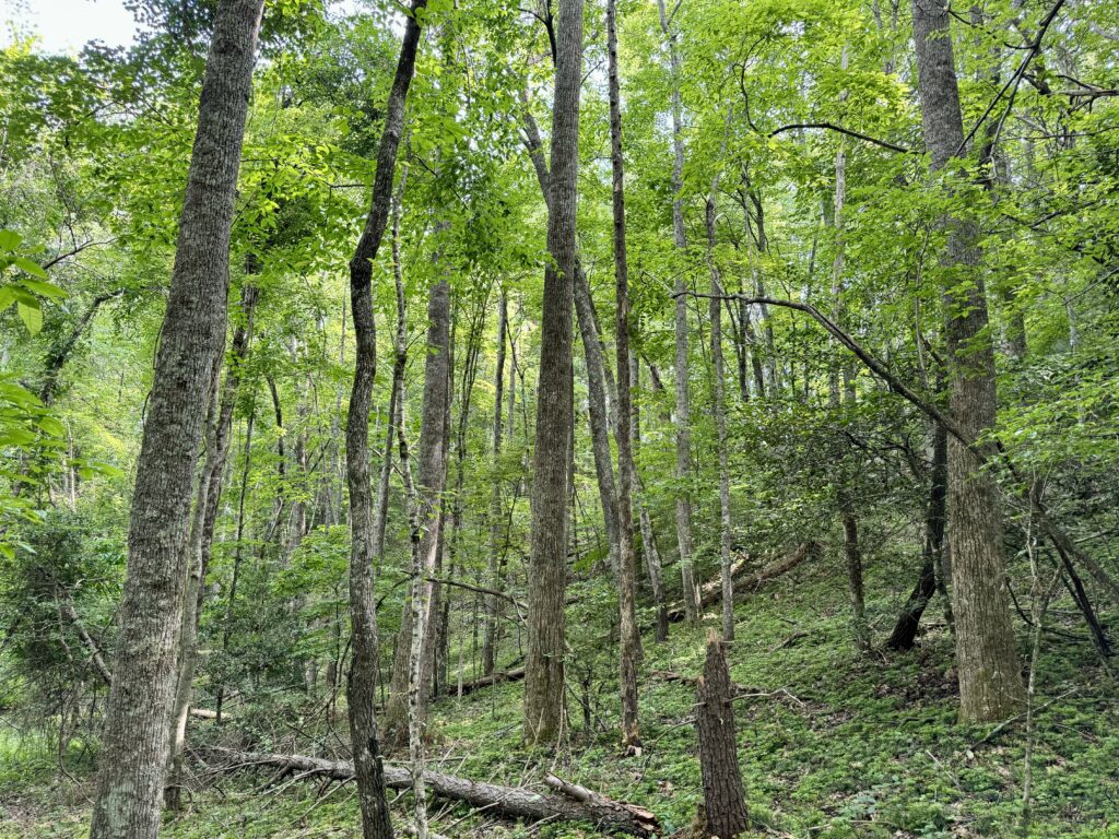
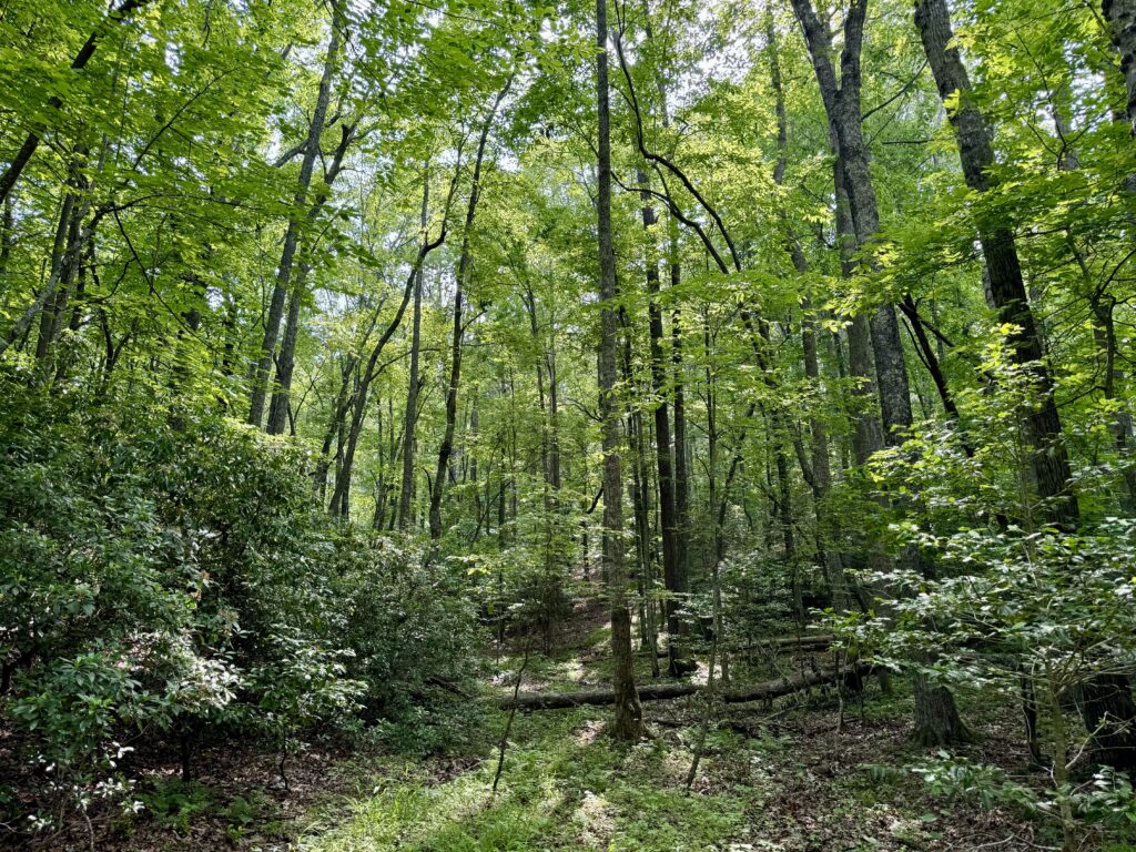
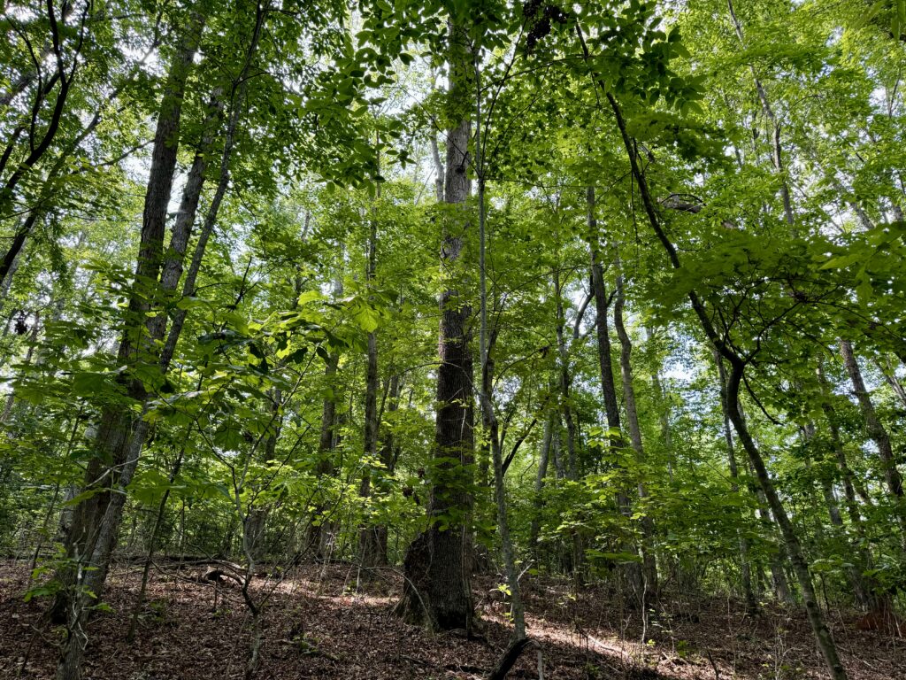
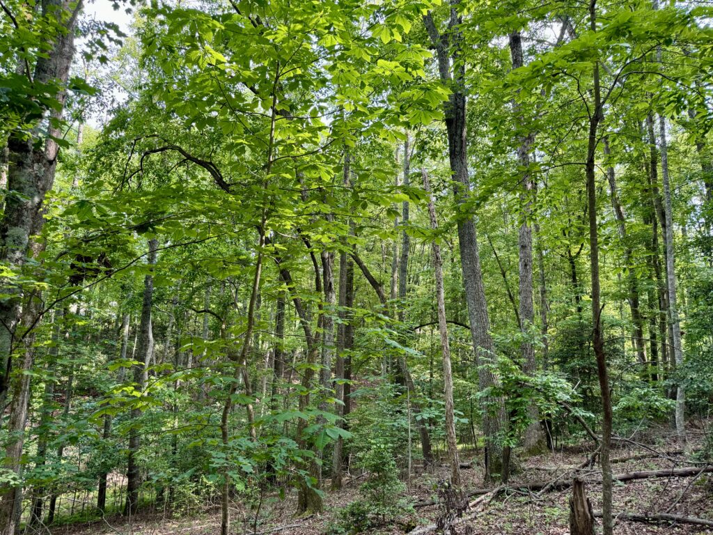
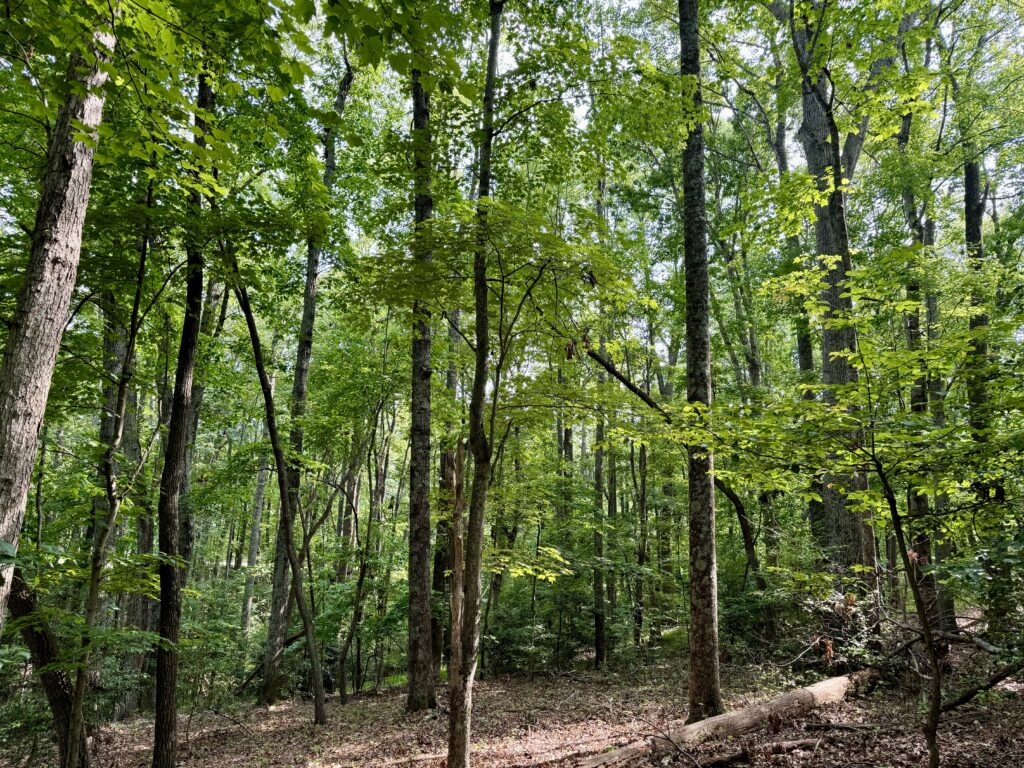
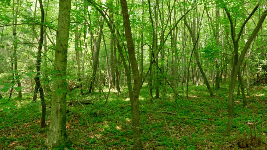
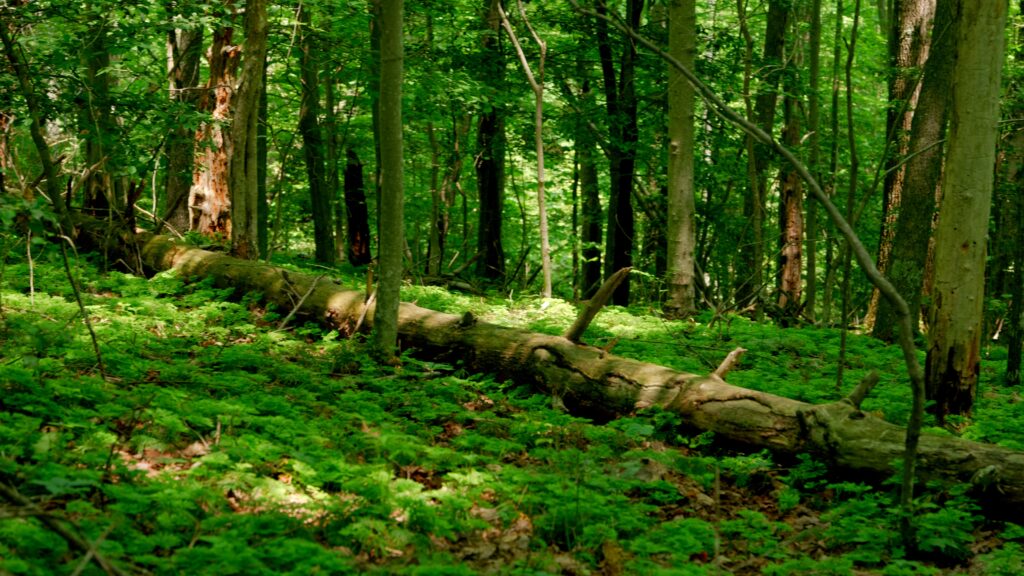
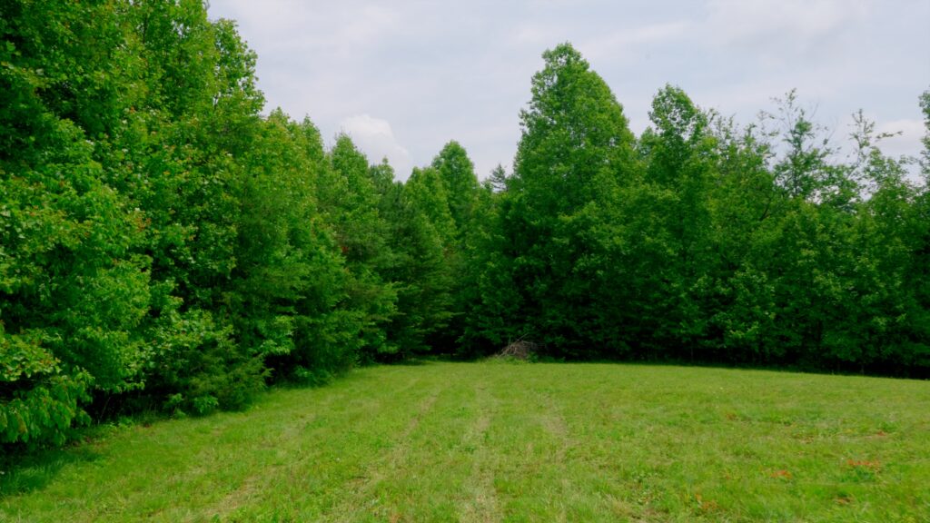
- 19 acres mature hardwood timber valued $50,000+
- No deed restrictions
- Option to further subdivide
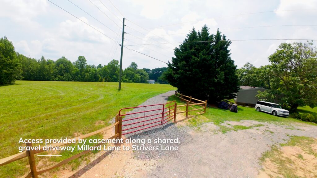
- Located at dead-end shared easement
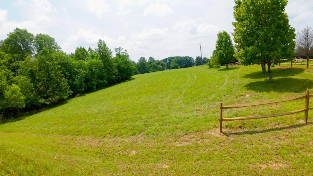
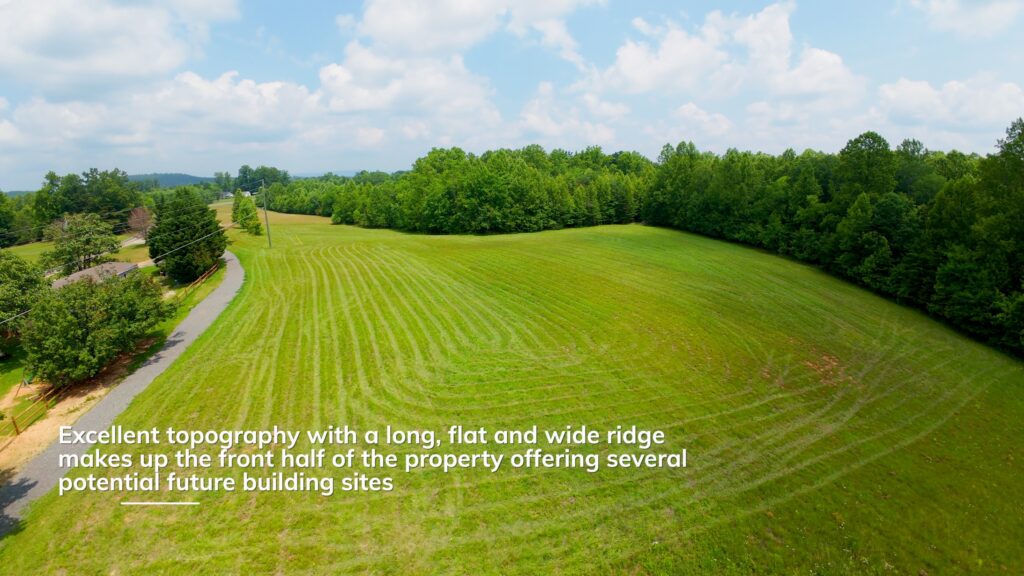
- Long, flat and wide ridge makes up the front half of the property offering several potential future building sites
- Privacy and seclusion from paved State Road
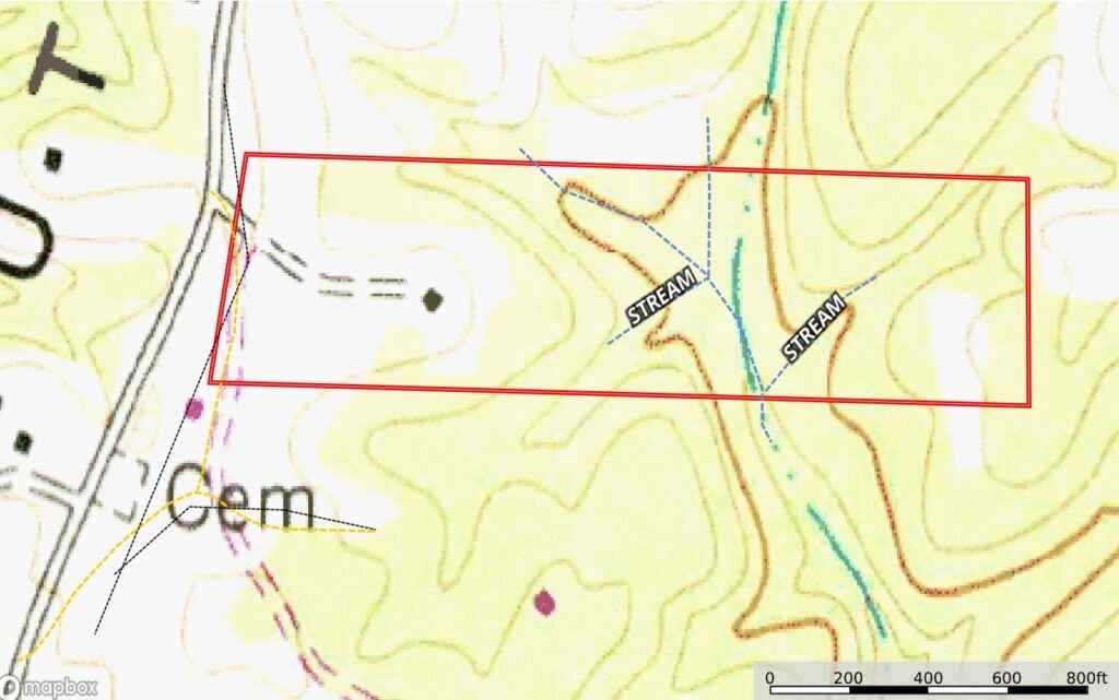
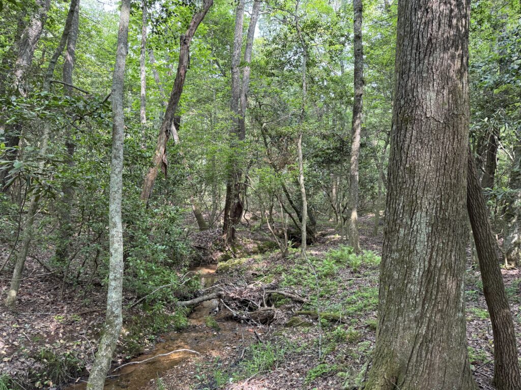
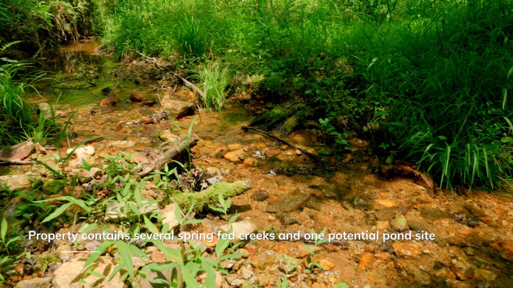
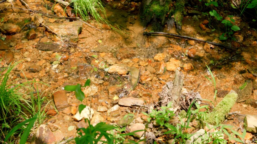
- Several spring fed streams on property
- 1 potential pond site
- Power and fiber available
- Numerous deer and turkey where seen on the property during the filming
- Soils suitable for septic systems
Distances
- 10 minutes to Mount Airy, NC
- 15 minutes to Pilot Mountain, NC
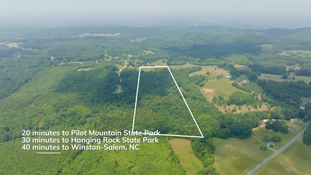
- 20 minutes to Pilot Mountain State Park
- 30 minutes to Hanging Rock State Park
- 40 minutes to Winston Salem, NC
Property Maps & Attachments (click to access)
- Aerial Photo
- Vintage Topography Map
- Soils Report
- Survey
- Access Easement Description
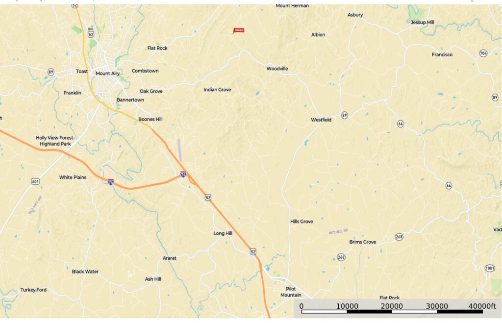
- Location Map
- Google Map
Directions & Coordinates
From Slate Mountain Road, take Athey Simmons Road 0.7 miles and turn left onto Millards Lane. Continue on Millards Lane 0.1 miles and turn left onto Strivers Way. From Strivers Way, property begins in 300 to 400 feet. From here use the free, LandID interactive map (available above) on your smartphone to help navigate the property. You must download the free LandID App in order to see where you stand on this interactive property map.
Driveway Entrance GPS Coordinates 36.521, -80.511
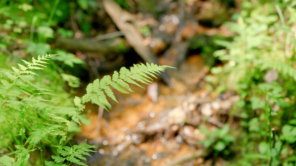
Property Photographs


Contact
JOHN SHIPLEY
336-497-0749
info@theshipleyco.com
DISCLAIMER:
Information taken from reliable sources and thought to be correct. Potential buyers should perform their own due diligence and verify all information.
22.75 Acres Surry County, NC