Description
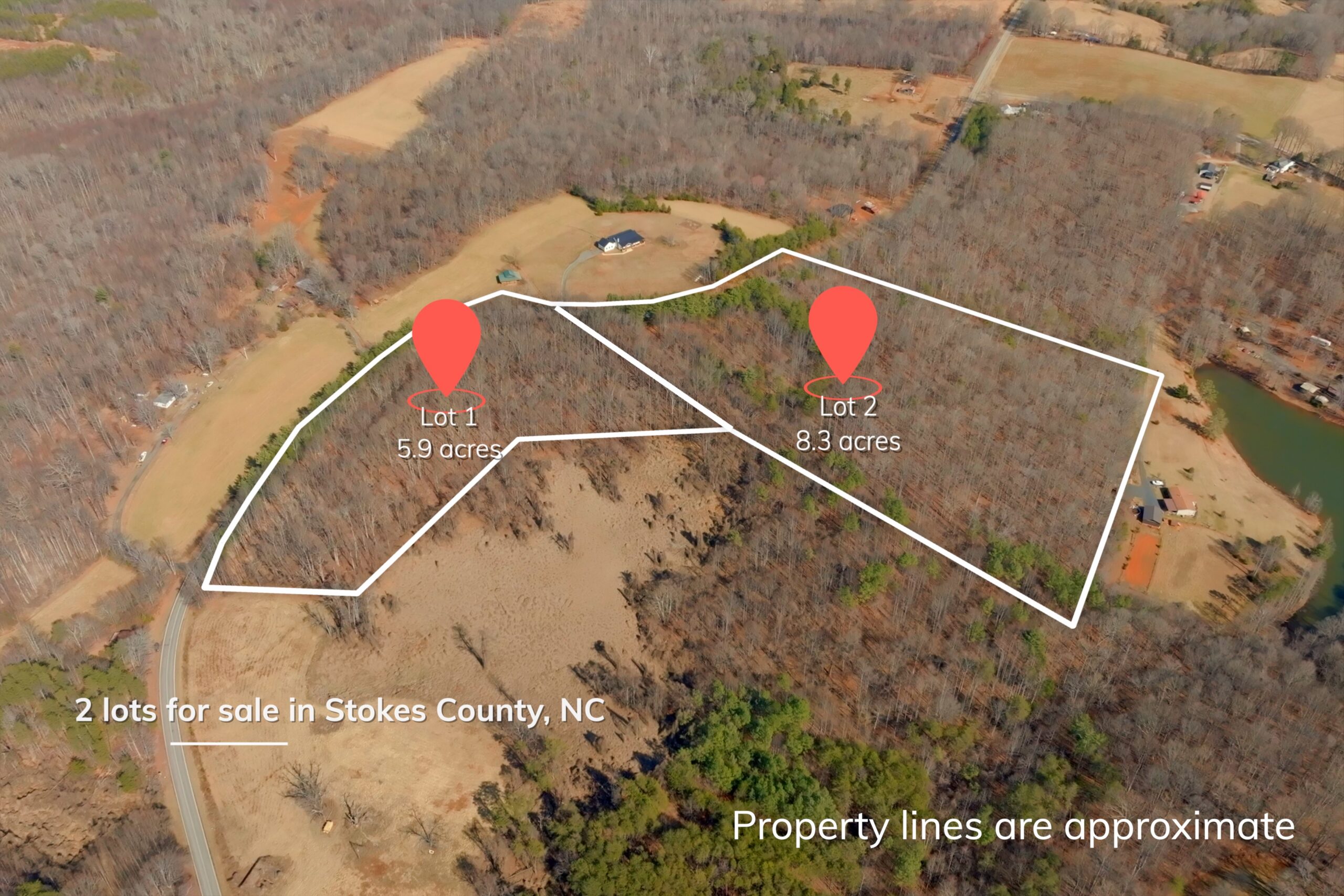
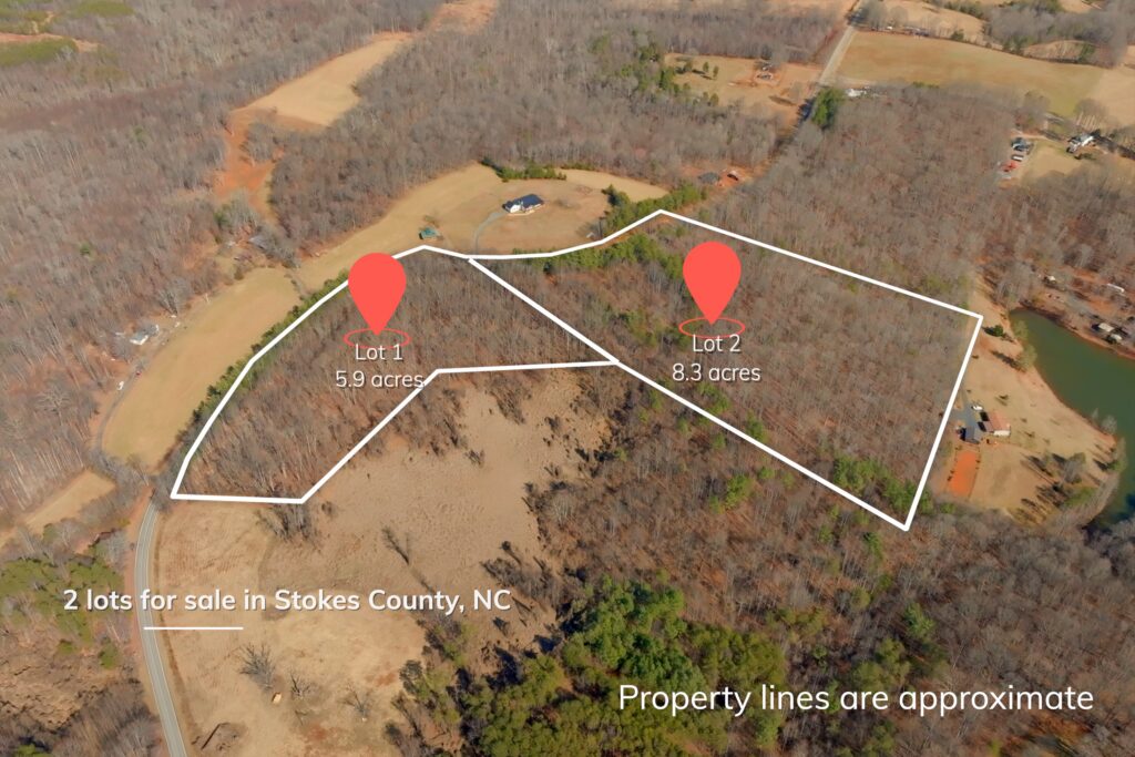
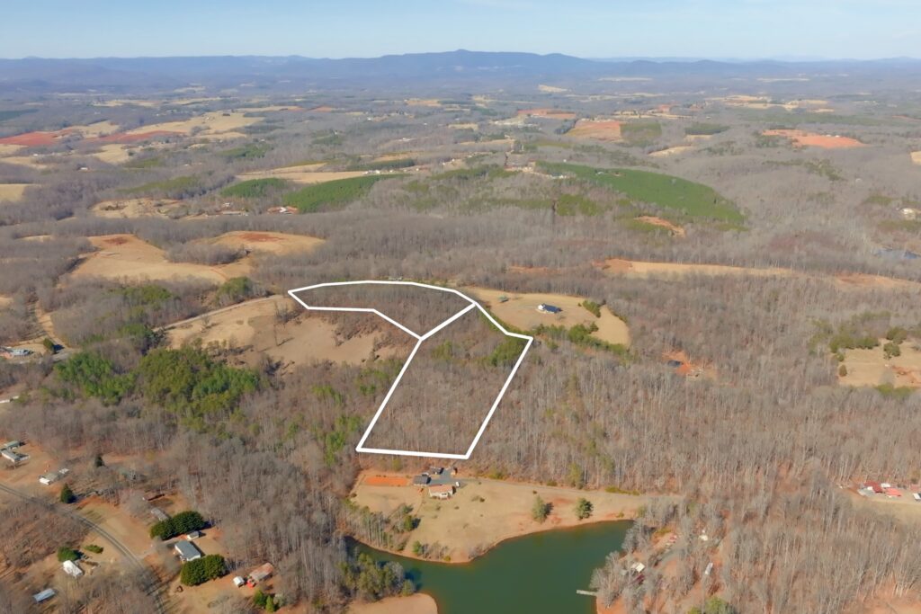
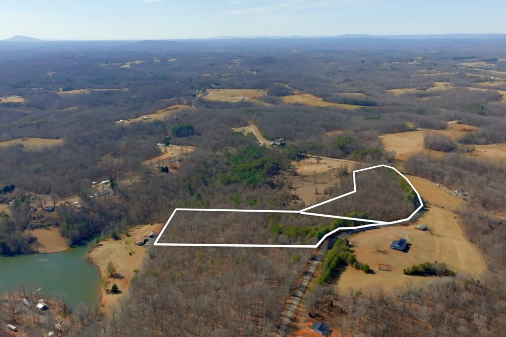
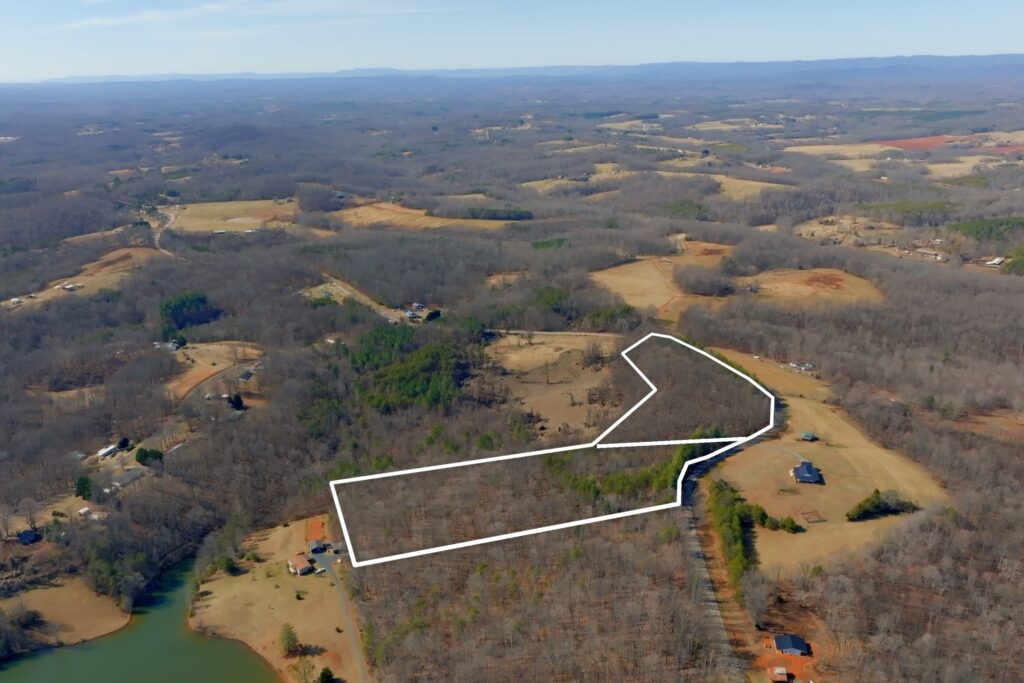
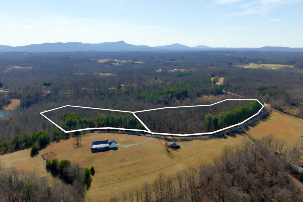
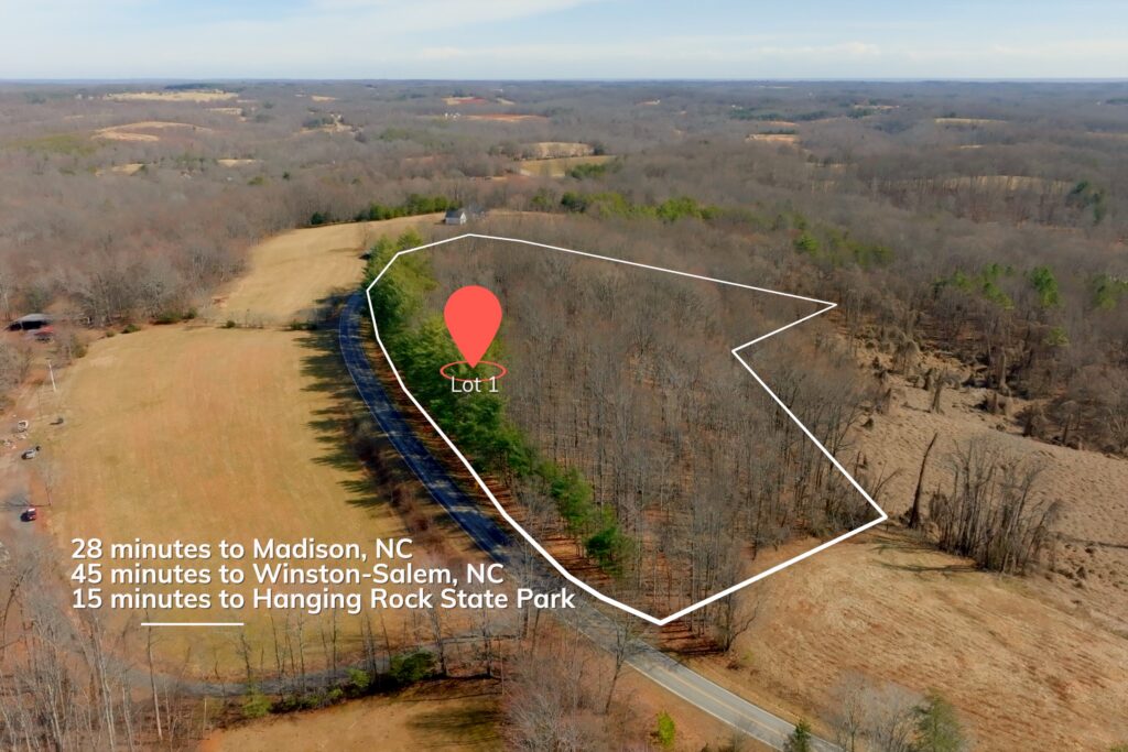
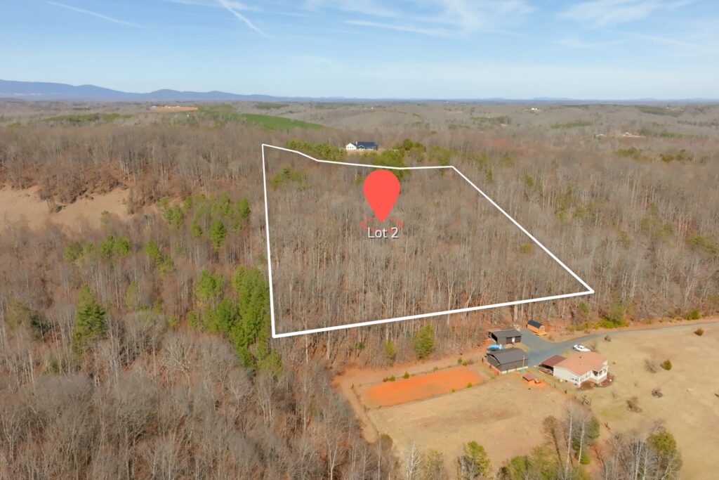
Two unrestricted lots available on Sisk Road outside Lawsonville in Stokes County, North Carolina: 5.94 acres (Lot #1) and 8.33 acres (Lot #2). Zoned R-A (Rural-Agriculture).
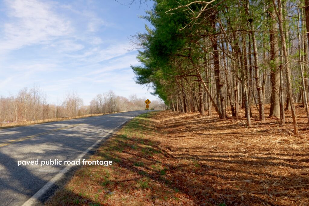
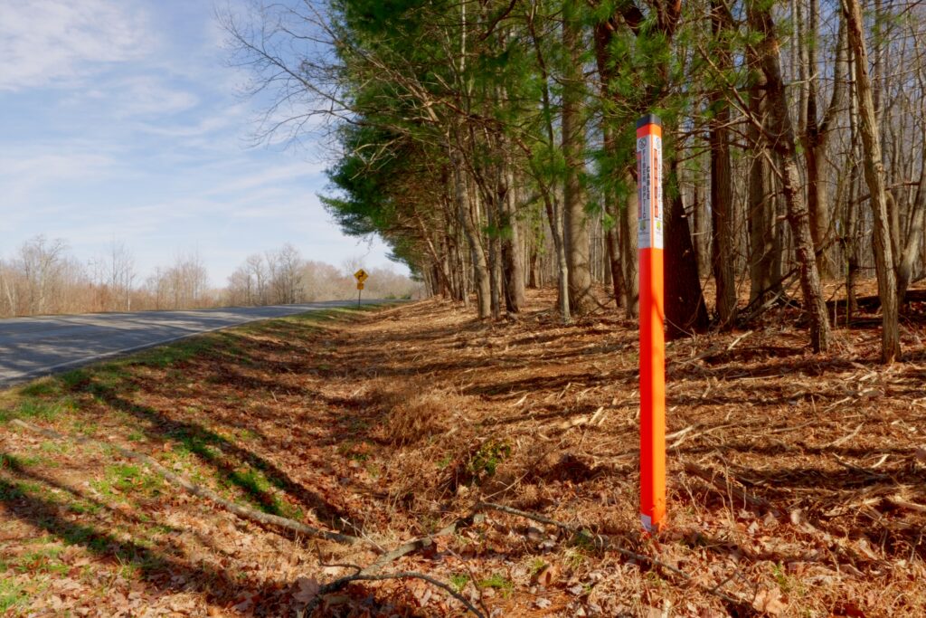
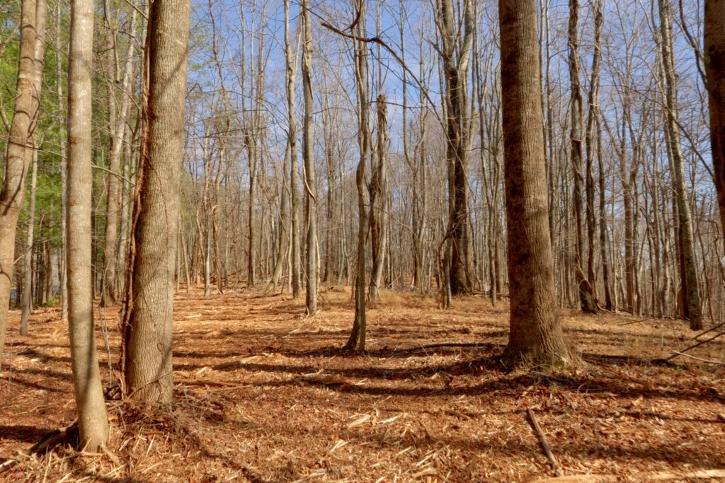
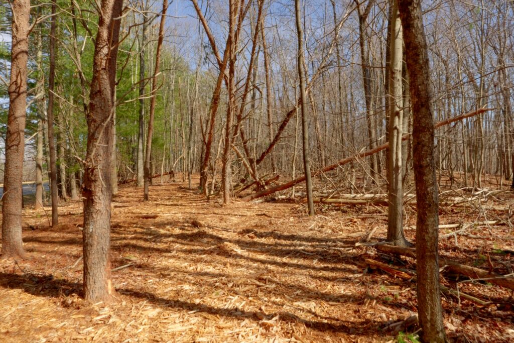
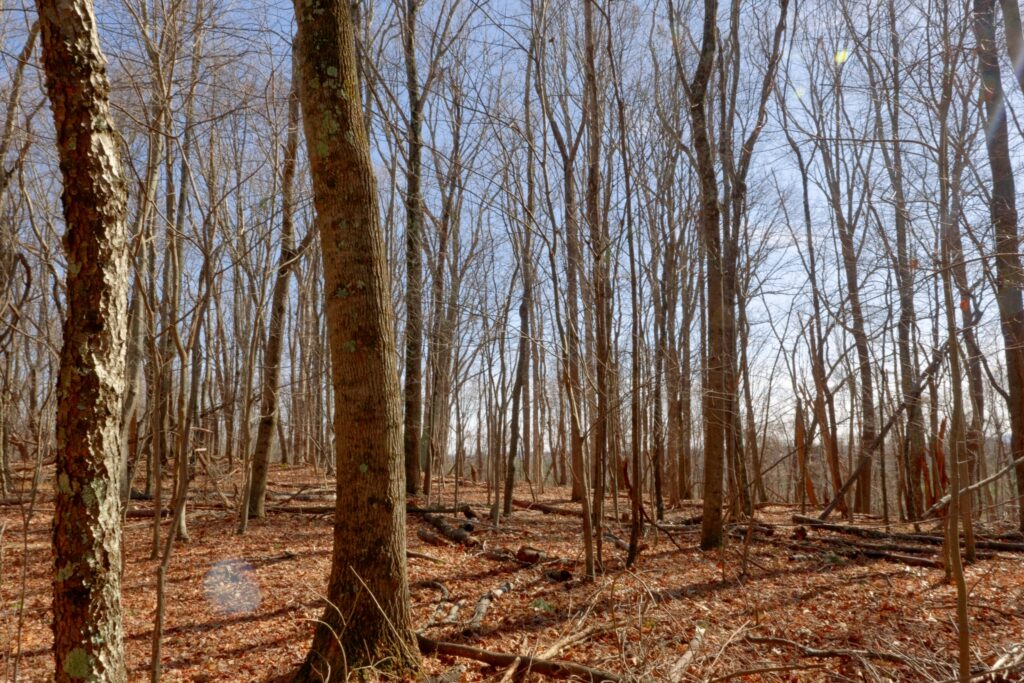
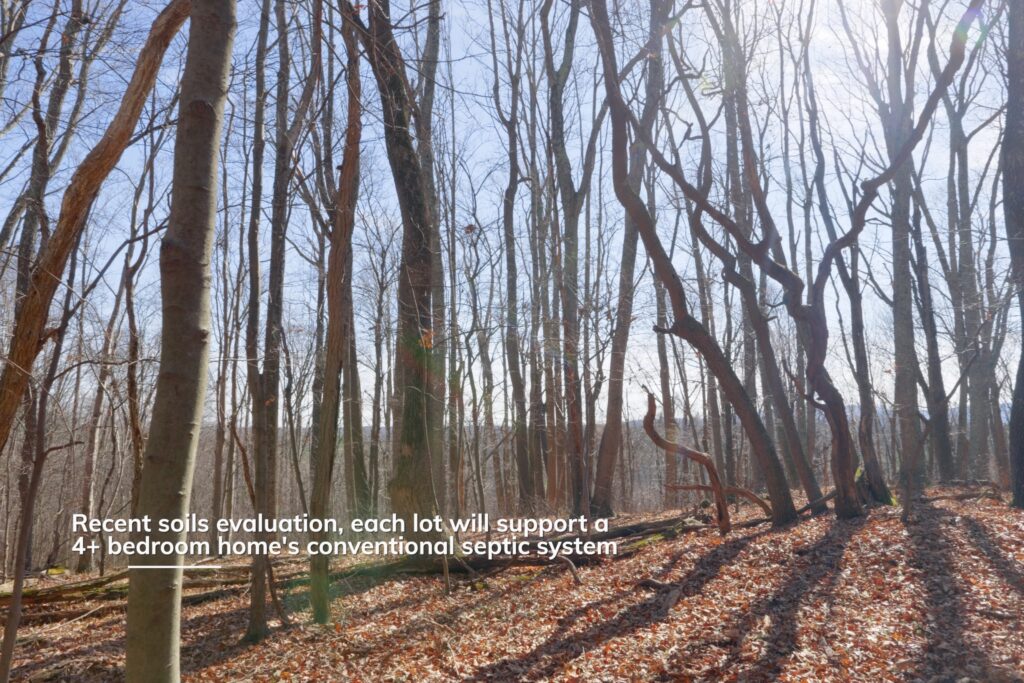
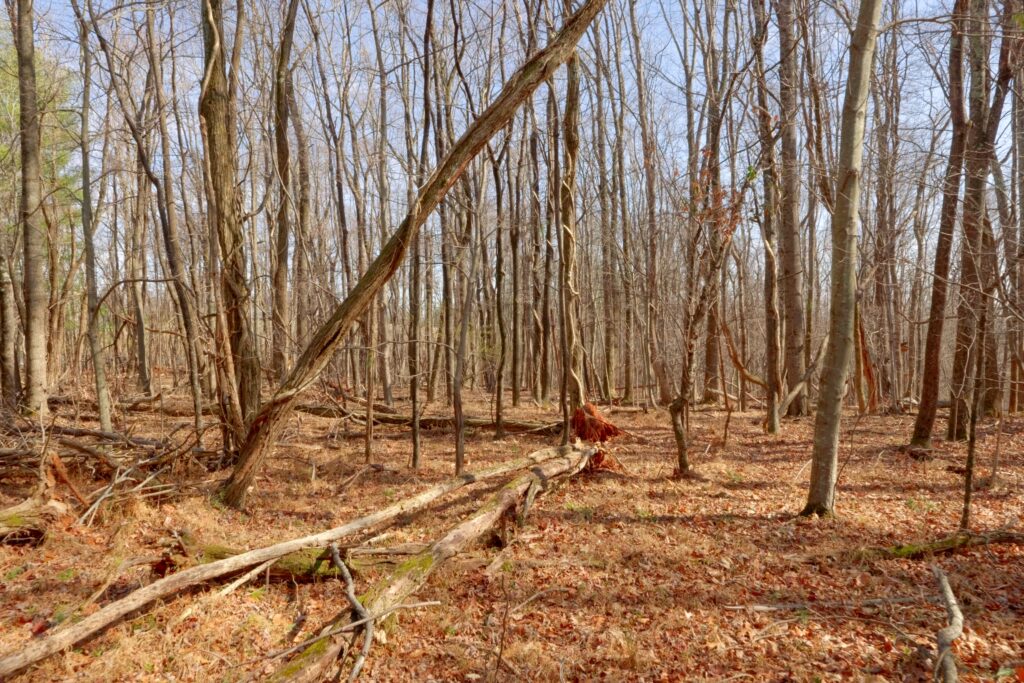
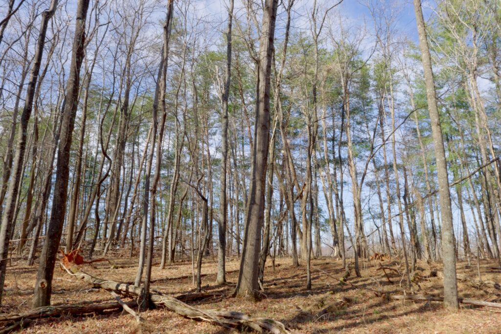
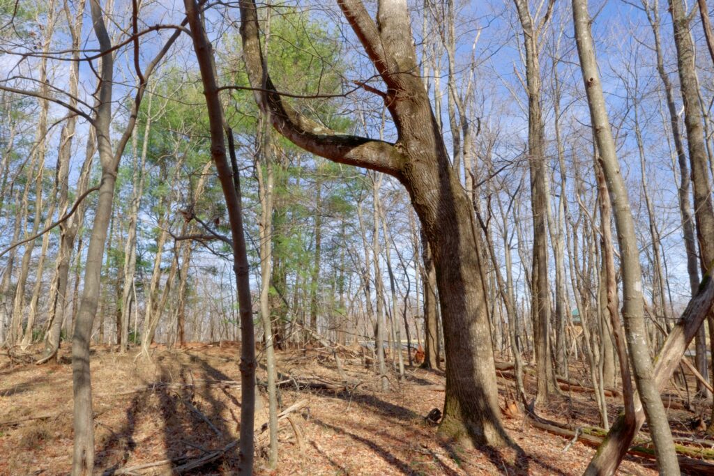
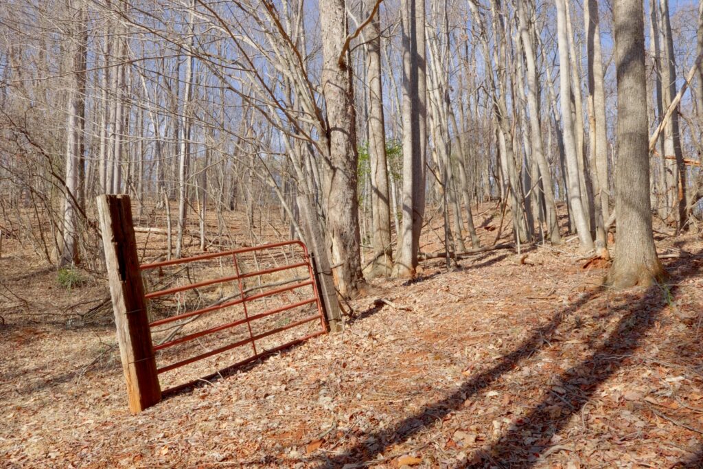
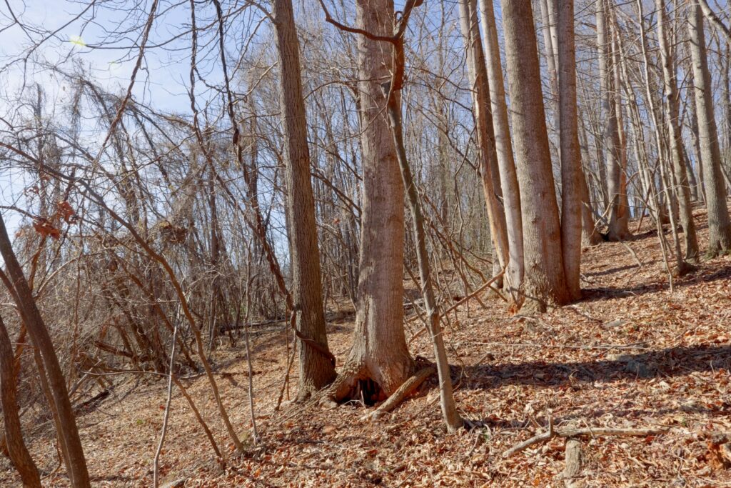
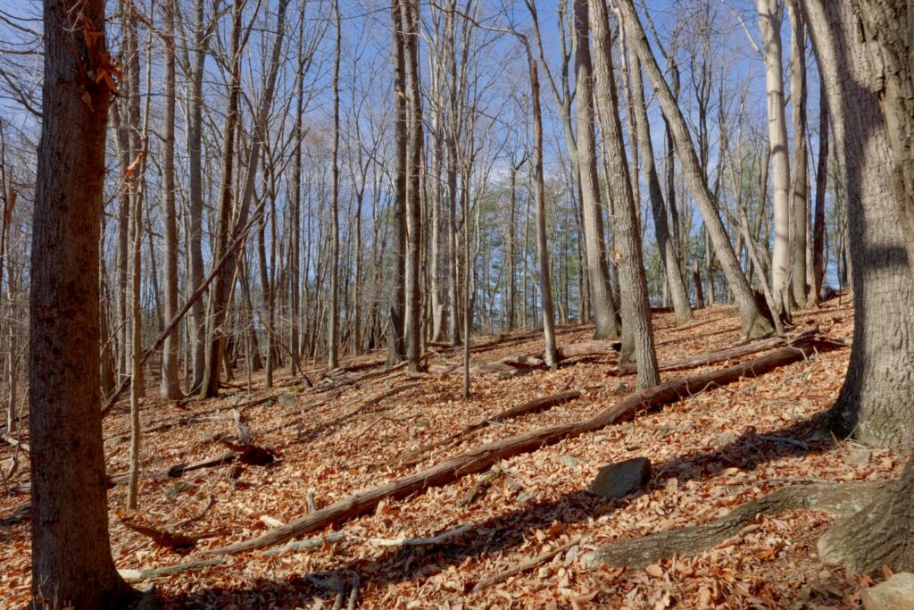
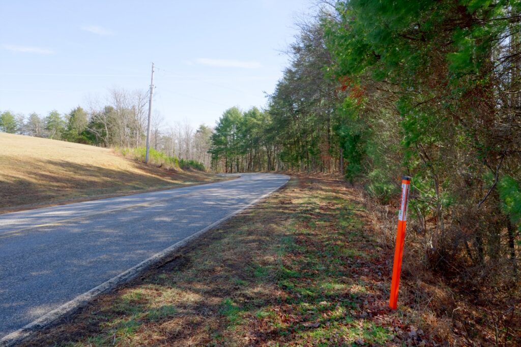
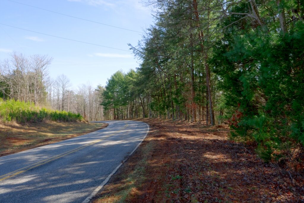
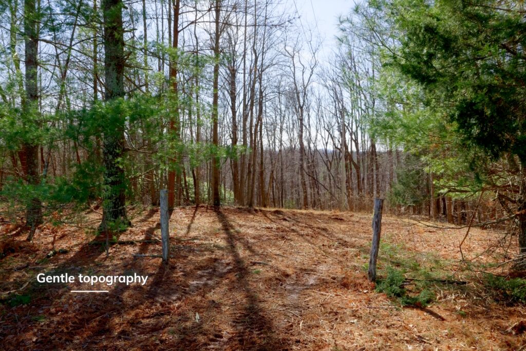
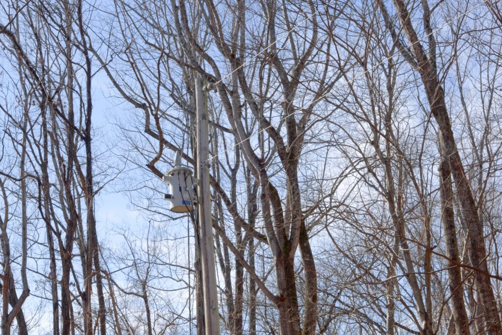
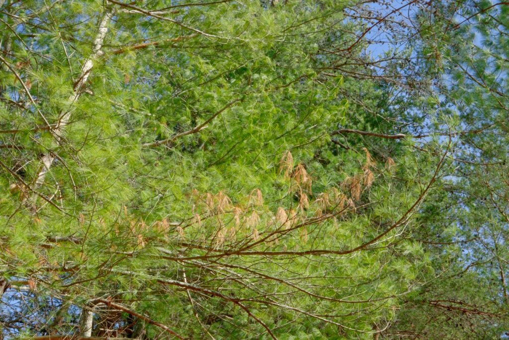
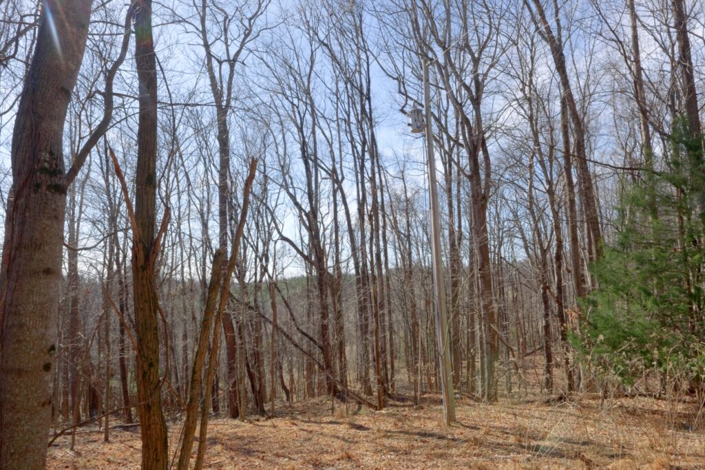
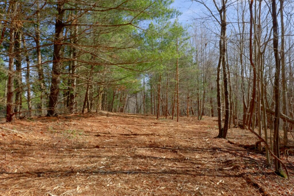
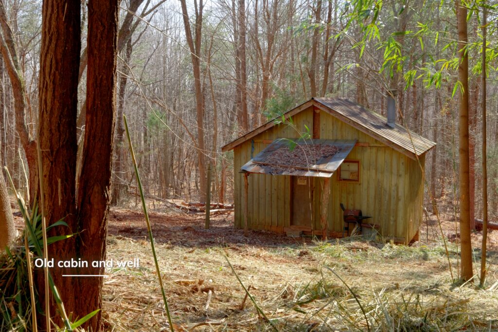
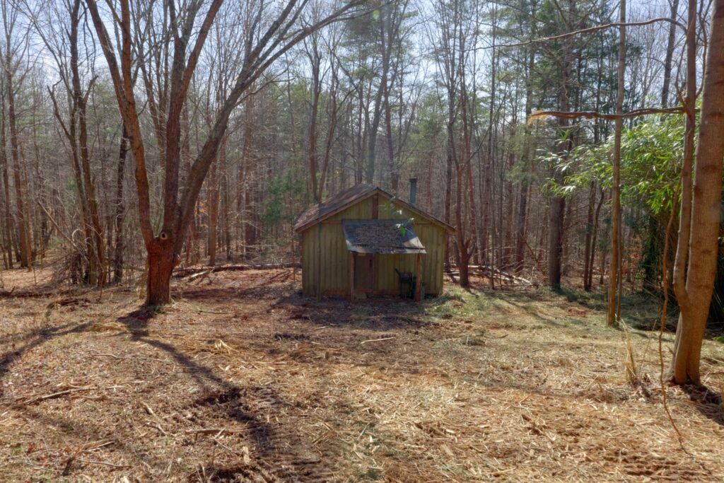
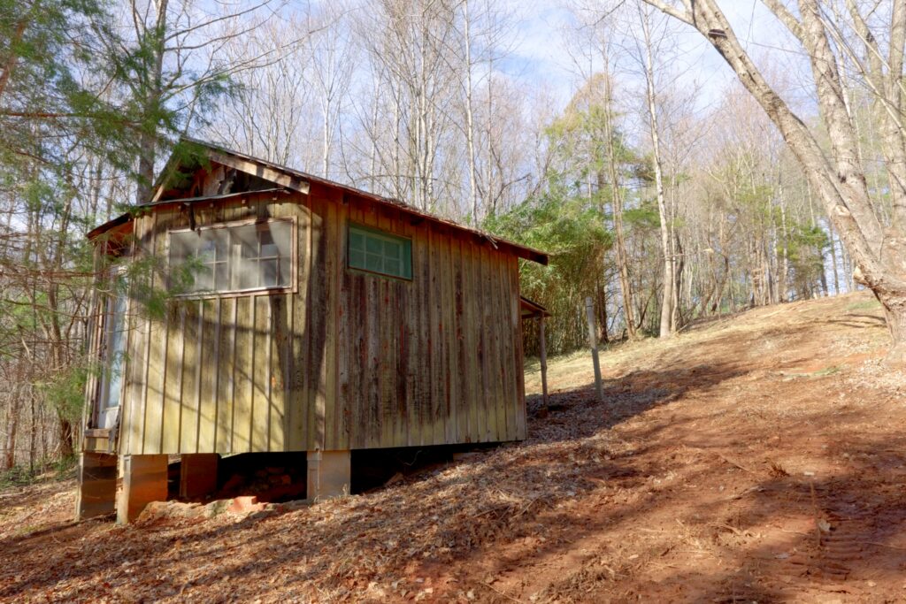
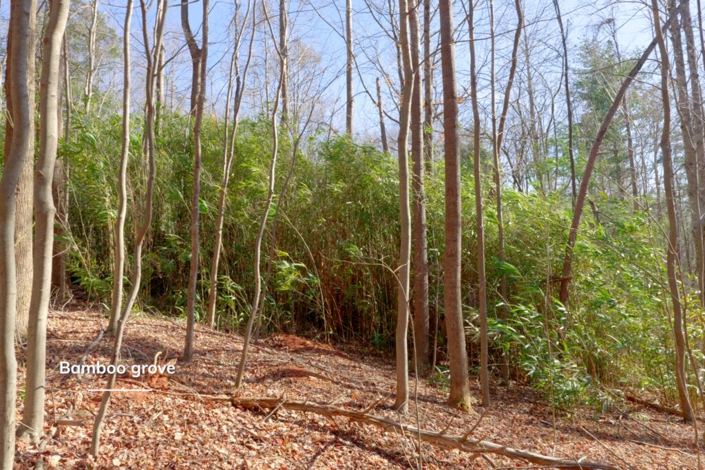
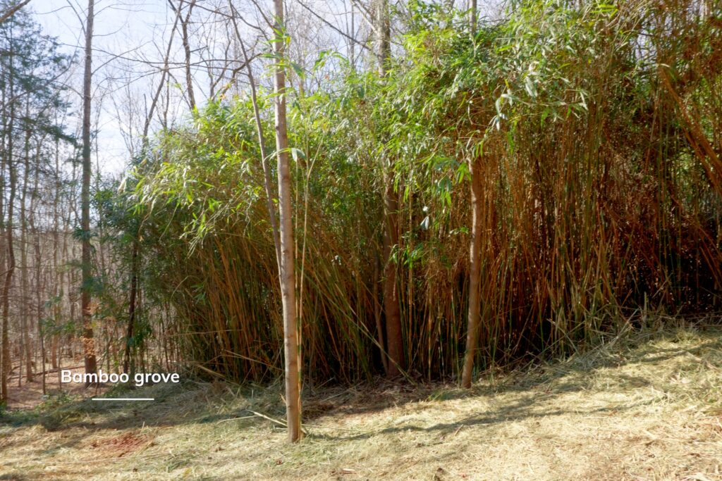
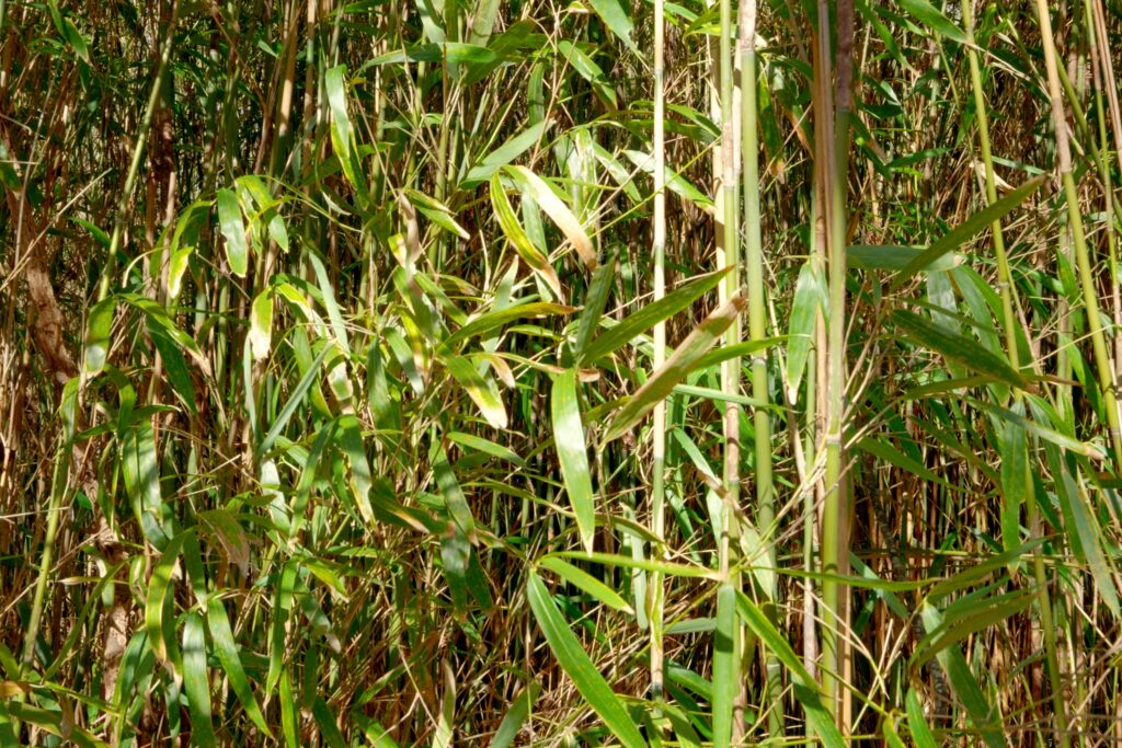
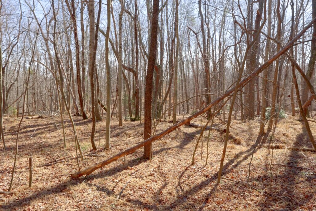
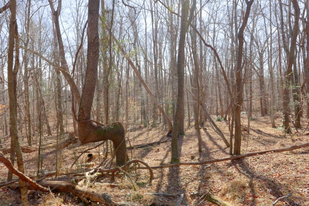
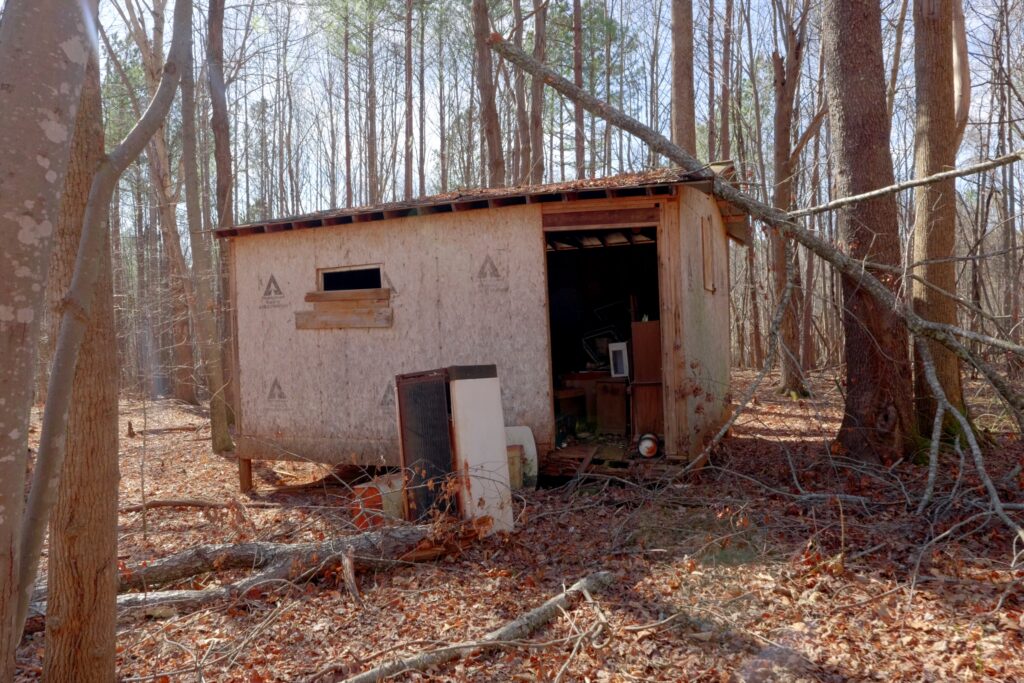
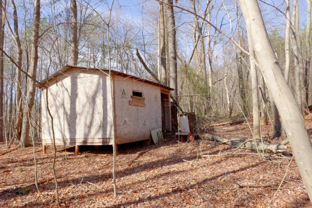
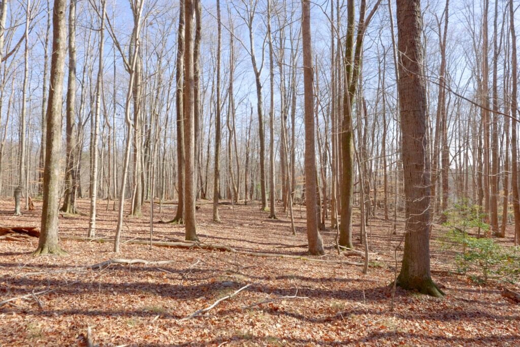
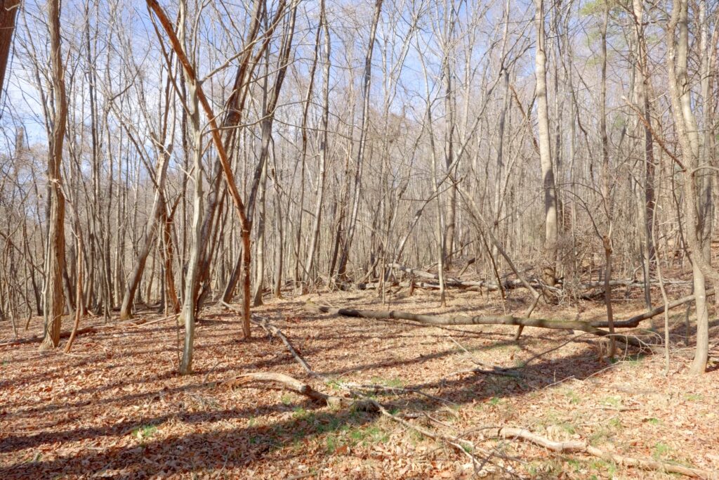
Both feature gentle slopes, substantial paved public road frontage, soils suitable for septic (report attached), mid- to mature hardwoods with scattered pines, power and fiber optic along the road, no deed restrictions, multiple building sites, and subdivide potential. Lot #2 adds a small cabin, storage building, and well (conditions unknown).
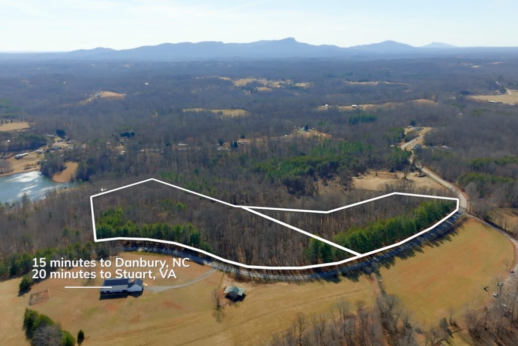
County tax rate: 0.71%. Just 15 minutes to Hanging Rock State Park and Danbury, 20 minutes to Stuart, VA, 28 minutes to Madison, NC, and 45 minutes to Winston-Salem.
Property Video
(play full screen for best quality)
Uses
Single Family Residential, Recreation, Farming, Forest Production
Parcel Information & Price
| Lot # | Parcel PIN # | Size (acres) | Price | Status |
| I | 6050-23-1084 | 5.94 | $59,900 | Sold |
| II | 6050-22-5366 | 8.33 | $84,900 | Available |
Property Features
- Zoning: R-A (Rural–Agriculture)
- Gentle sloping topography
- Substantial paved public road frontage
- Soils suitable for septic (see soils report)
- Mid- to mature hardwoods with scattered pines
- Power and fiber optic available along Sisk Road
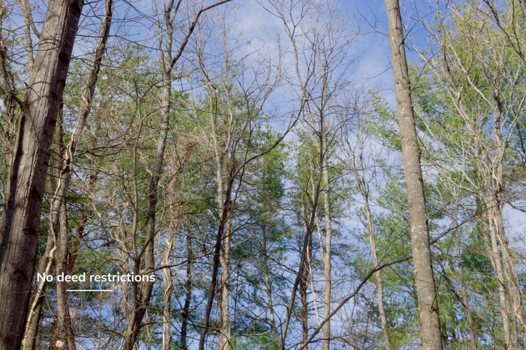
- No deed restrictions
- Multiple potential building sites
- Subdivision potential
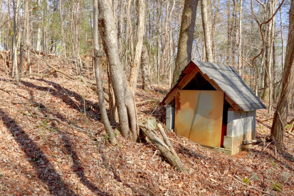
- Lot #2 improvements:
- Small cabin
- Storage building
- Existing well (conditions unknown)
- County tax rate: 0.71%
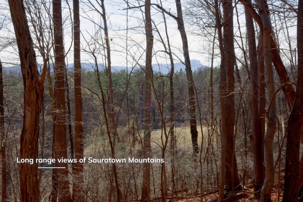
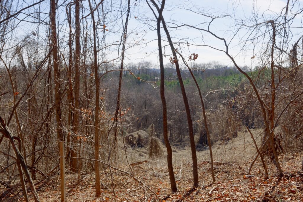
- Leaf-off long-range Sauratown Mountain views; year-round potential with clearing
- Quiet country setting
- No home owner’s association
Distances – Approximate drive times
- 15 minutes to Hanging Rock State Park and Danbury, NC
- 20 minutes to Stuart, VA
- 28 minutes to Madison, NC
- 45 minutes to Winston-Salem, NC
Property Maps & Attachments (click to view)
- Aerial Map
- Topo Map
- Soils Evaluation Report
- Soils Evaluation Report’s Map
- Location Map
- Google Map
- Survey
- Vacant Land Disclosure
- Mineral Oil and Gas Rights Disclosure
- Form 220
Directions & Coordinates
From the intersection of Doss and Sisk Roads, take Sisk Road east 0.4 miles and property will be on right. Please be sure to use interactive map (above) from your smart phone to navigate each lot with the free Land ID app. You must download the free Land ID to see where you stand on the interactive map. You do NOT have to sign-up for a Land ID subscription.
Entrance Coordinates 36.4989, -80.1819
Property Photographs
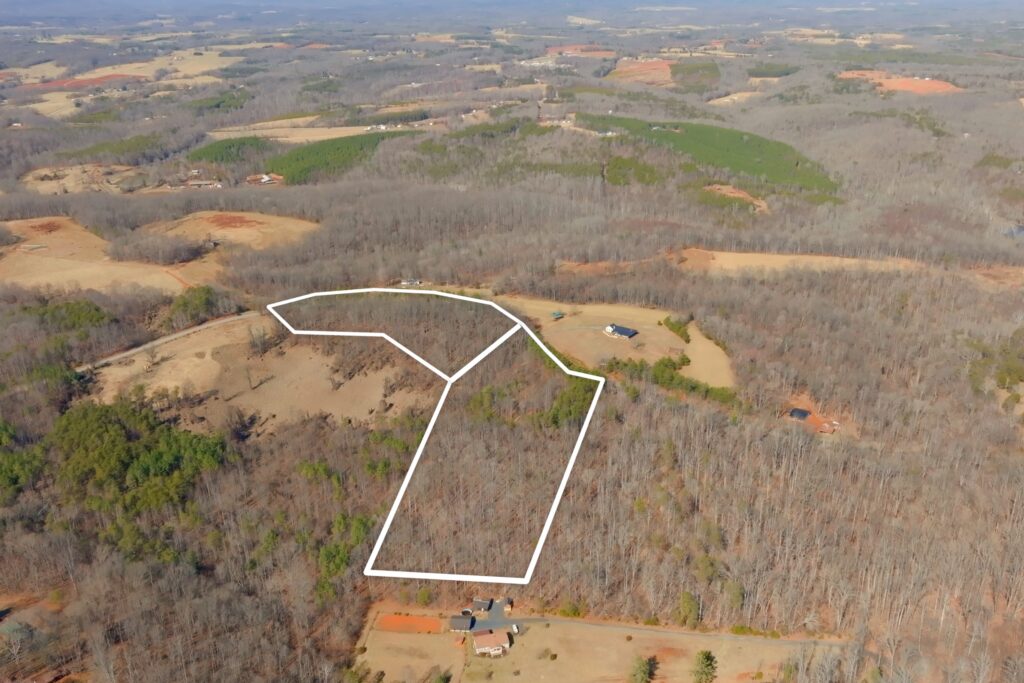
Tract I
Tract II


Contact
JOHN SHIPLEY
336-497-0749
info@theshipleyco.com
DISCLAIMER:
Information taken from reliable sources and thought to be correct. Potential buyers should perform their own due diligence and verify all information.
2 lots in Stokes Co, NC