
Description
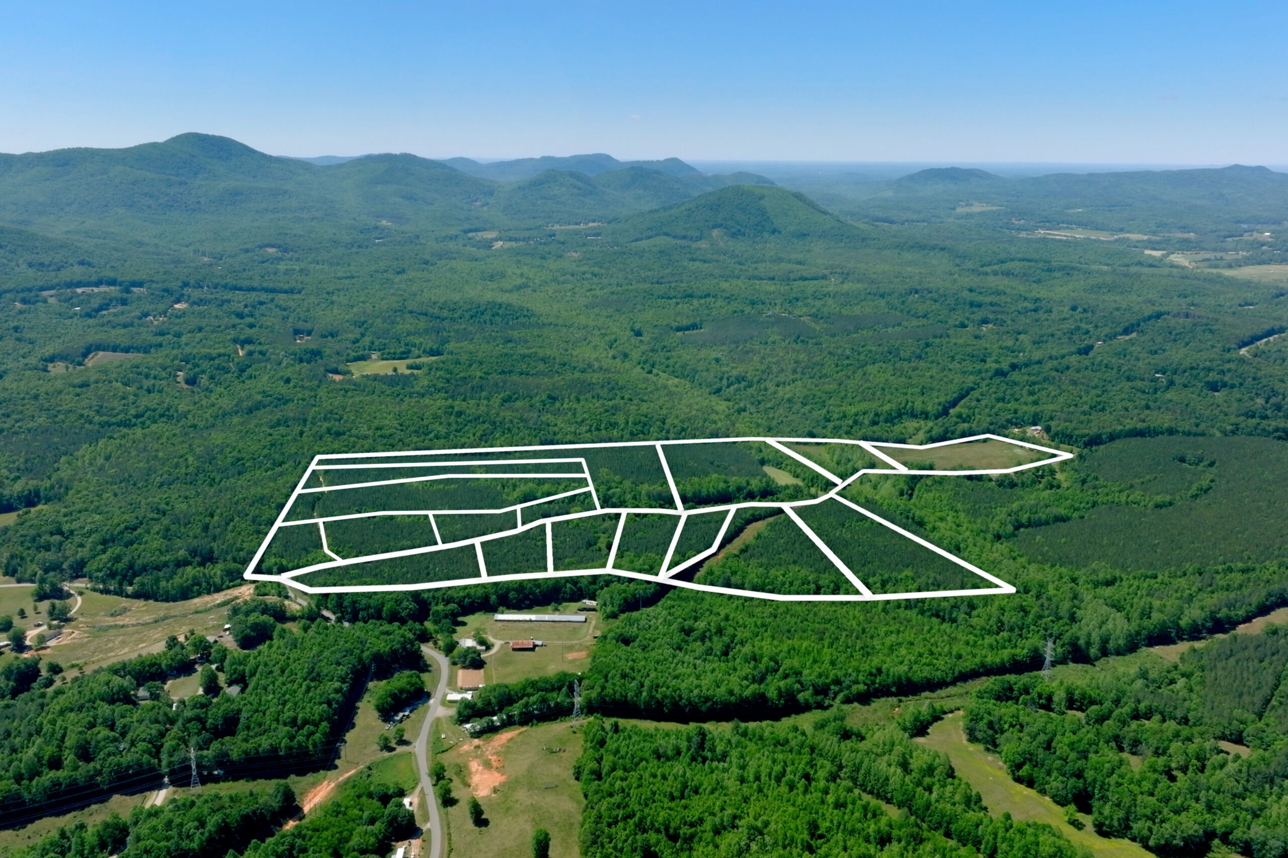
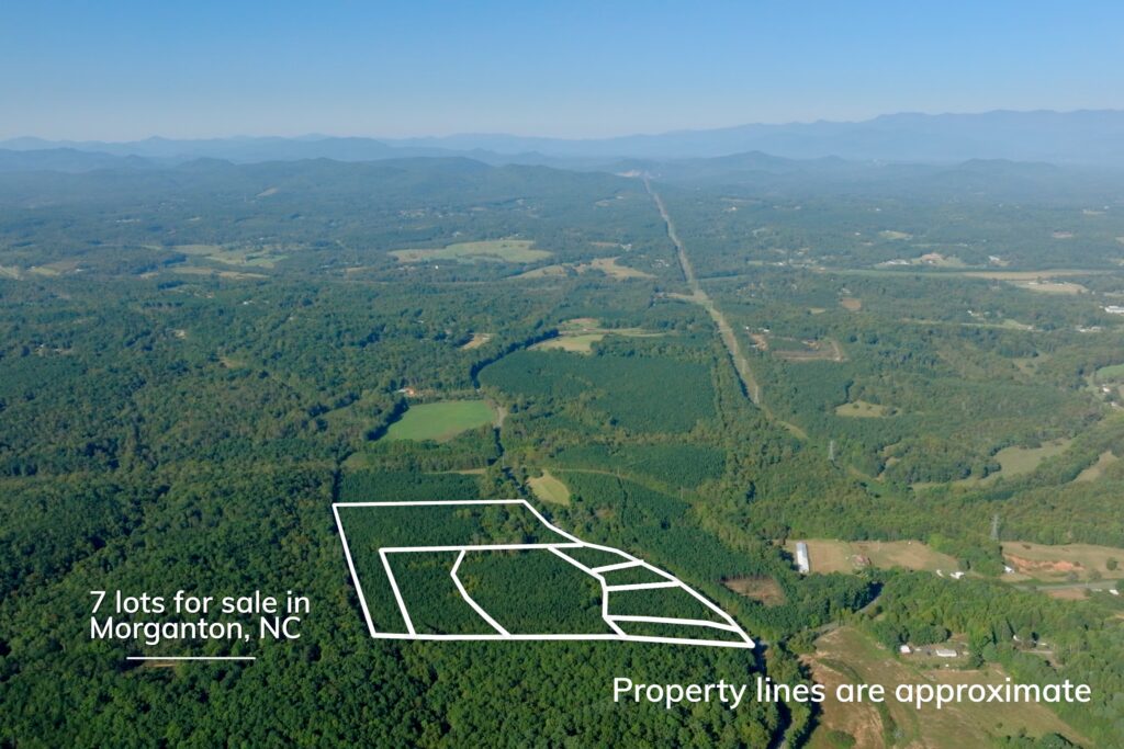
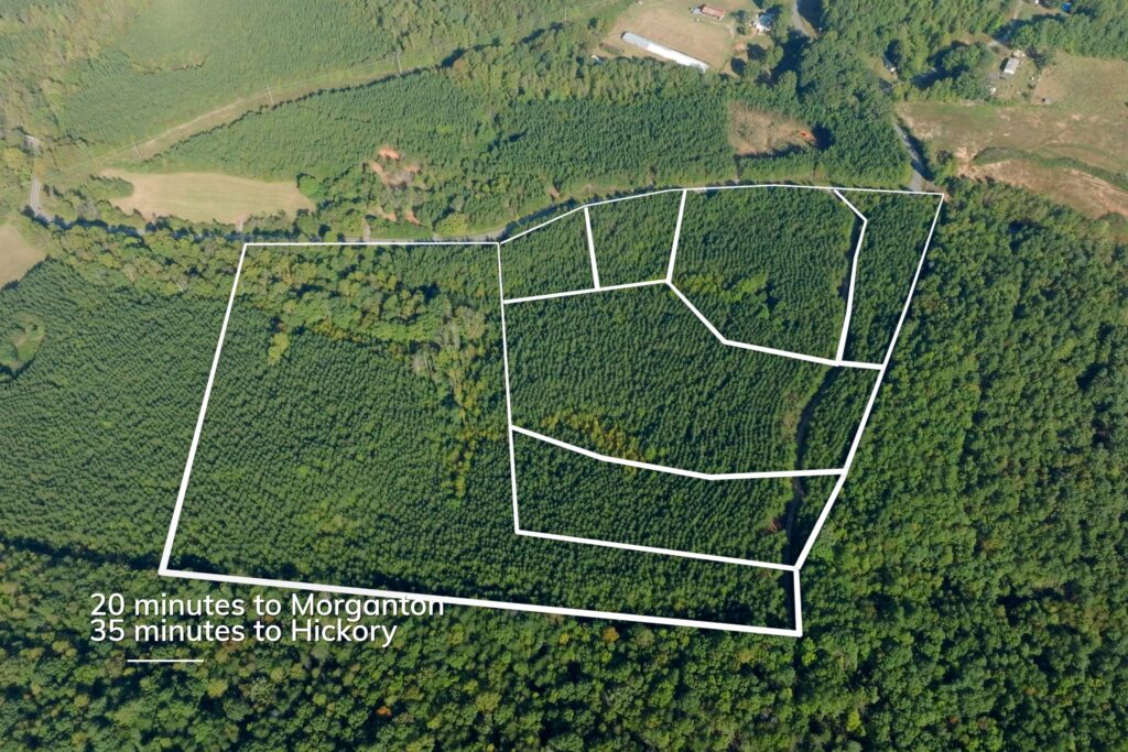
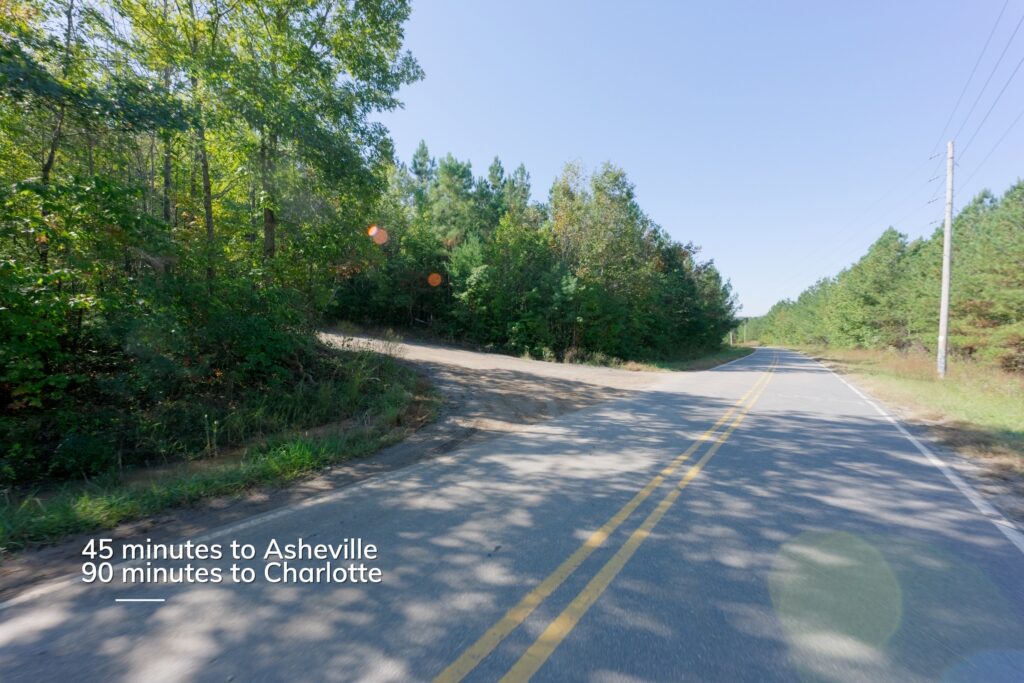
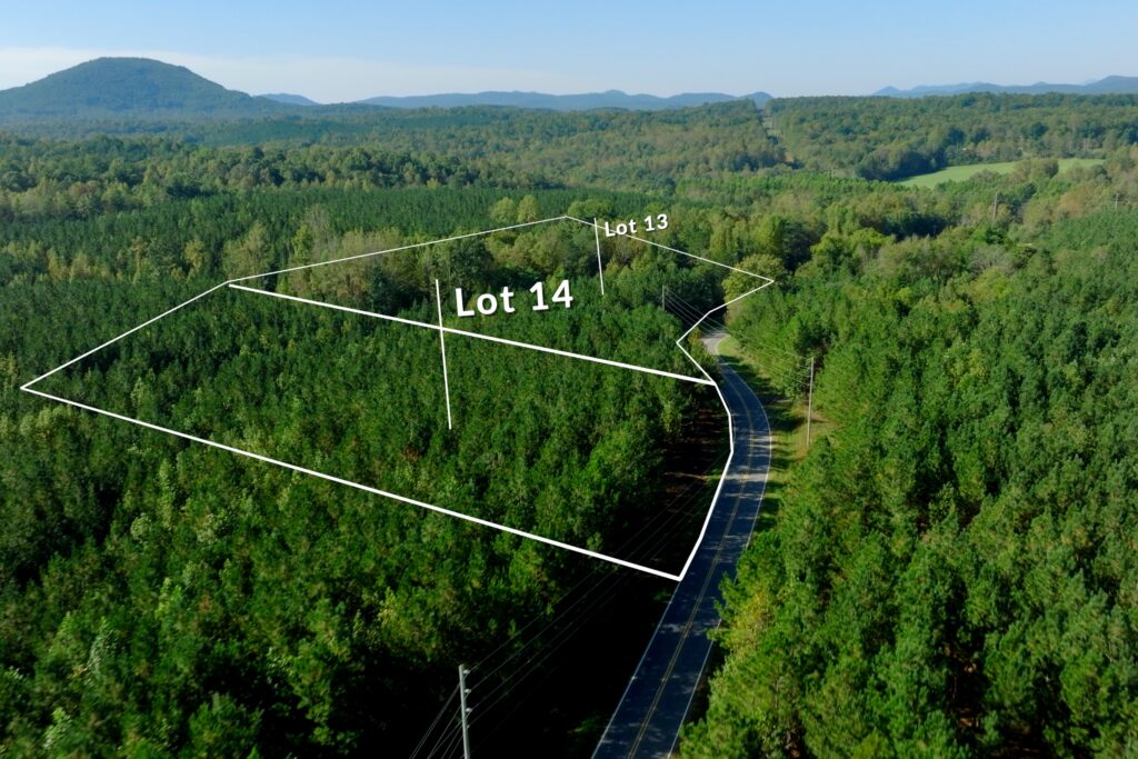
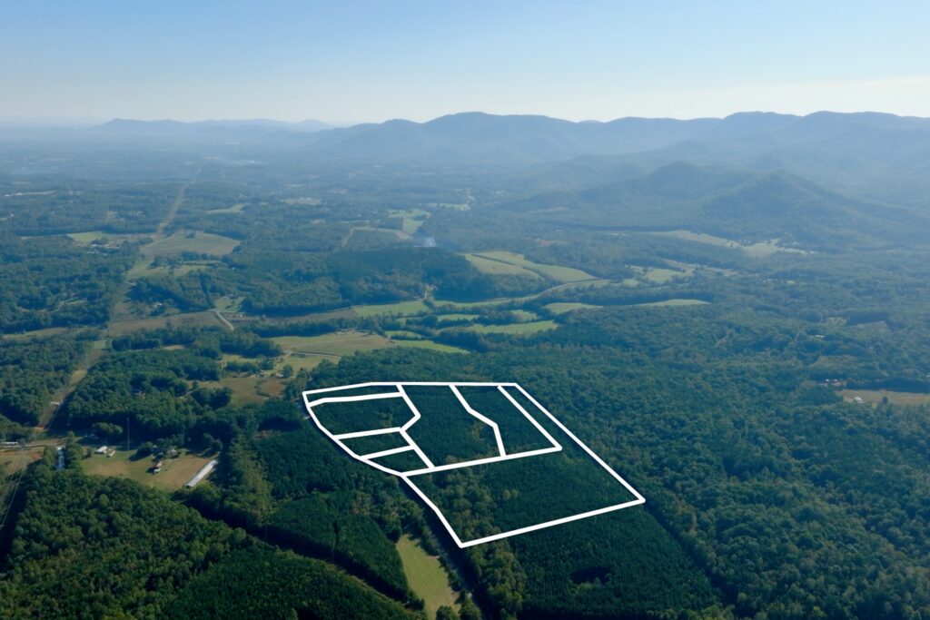
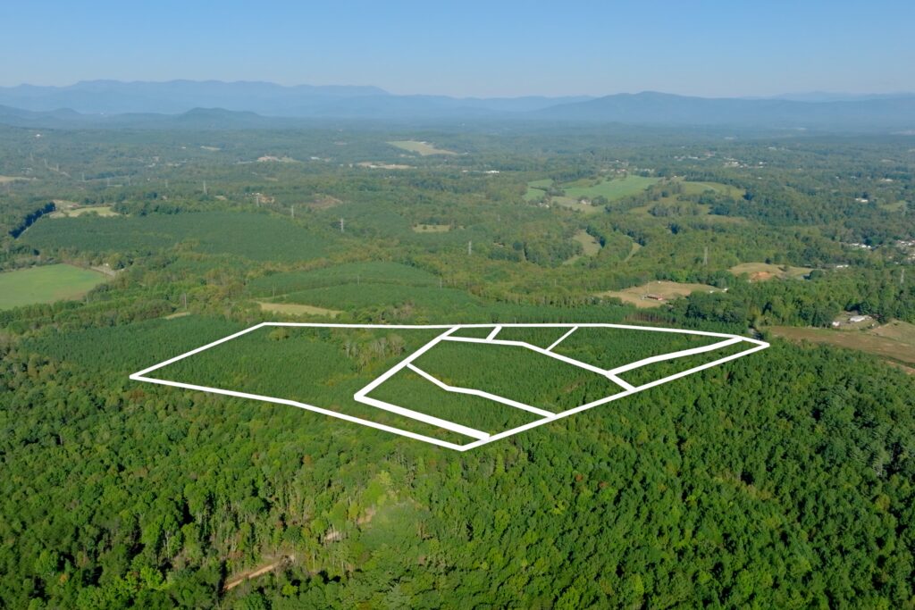
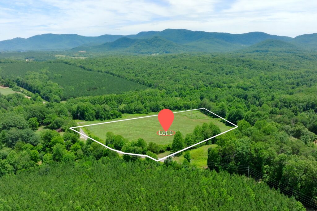
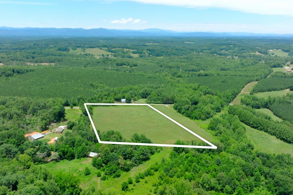
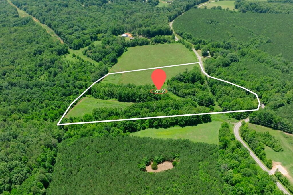
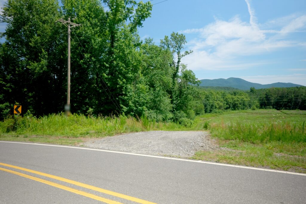
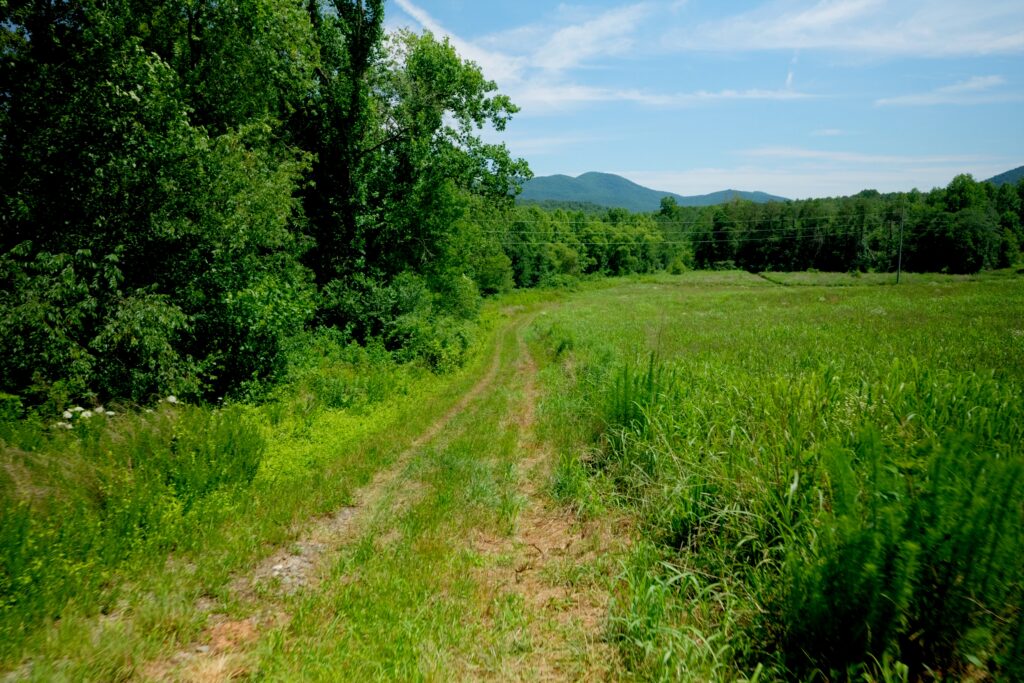
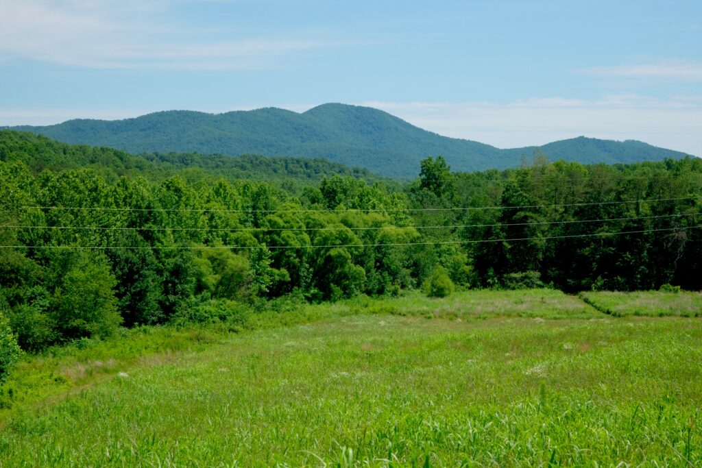
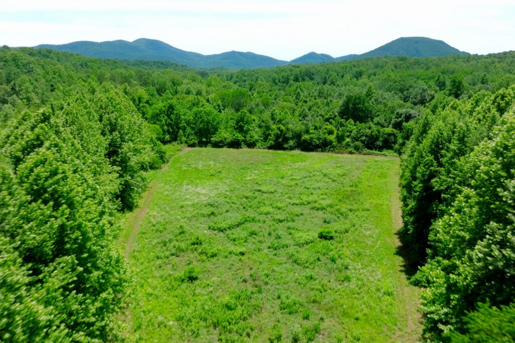
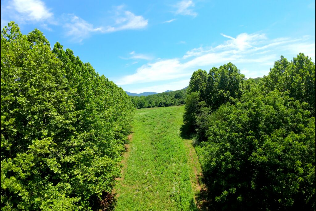
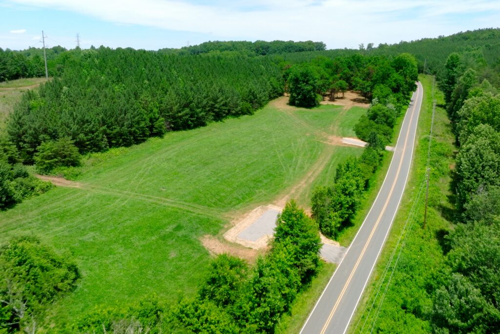
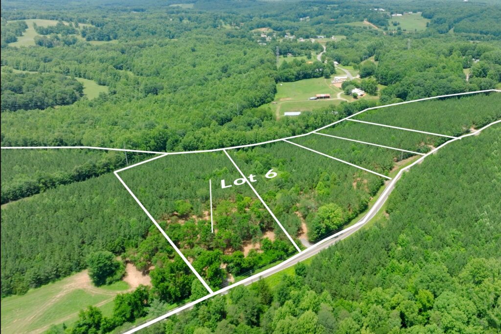
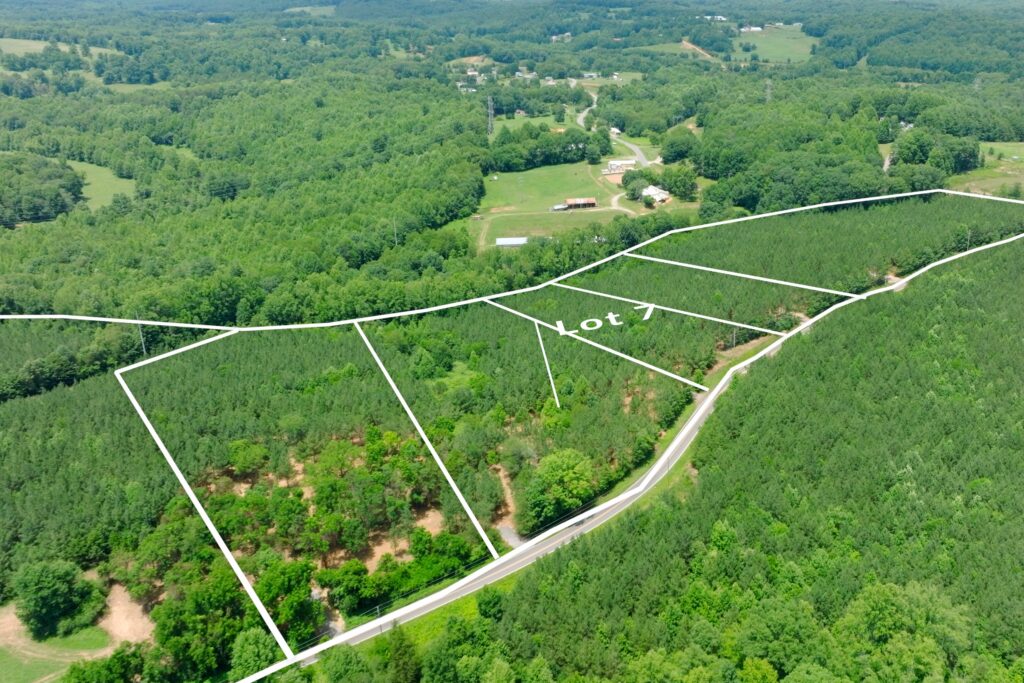
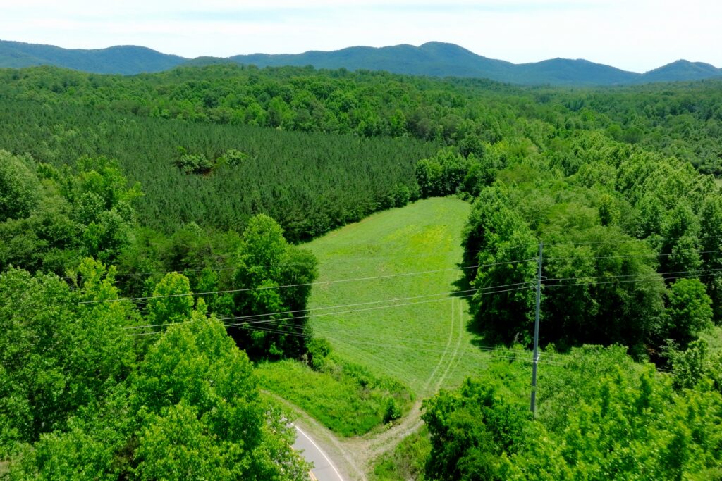
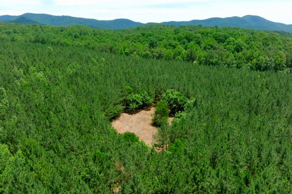
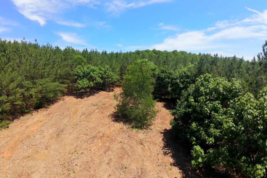
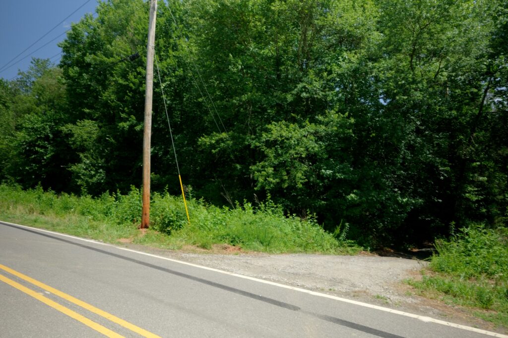
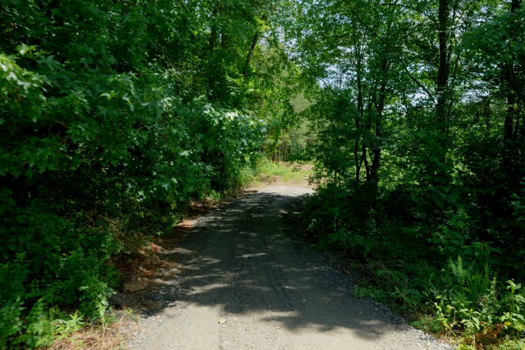
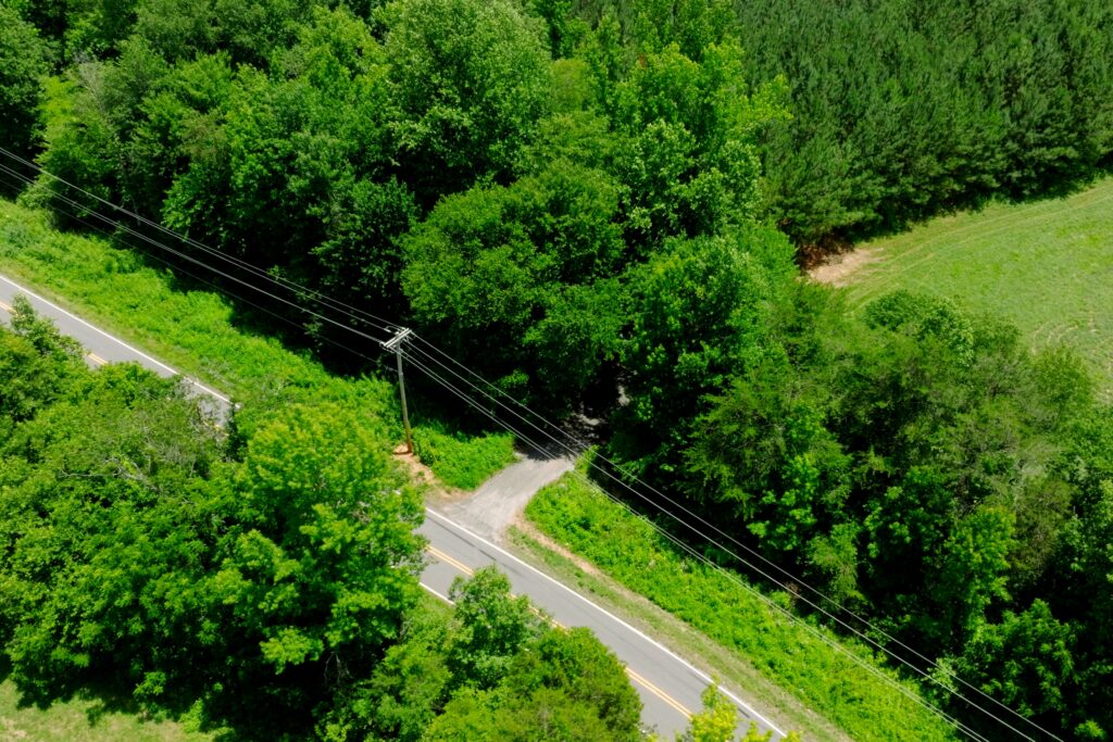
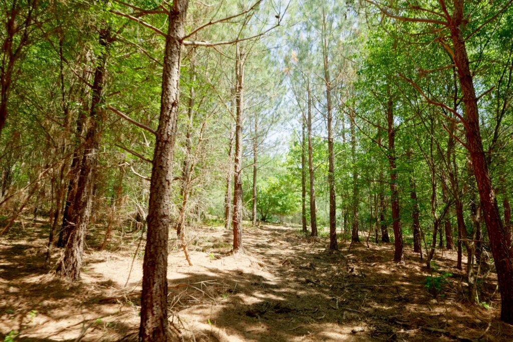
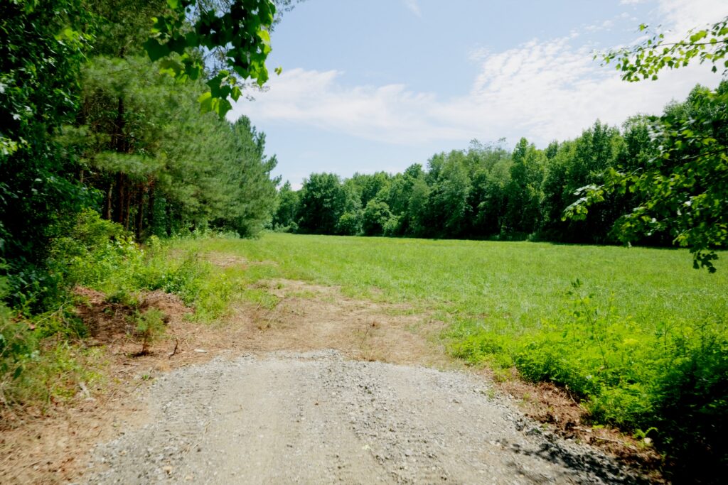
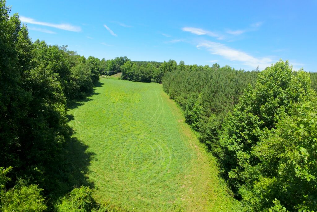
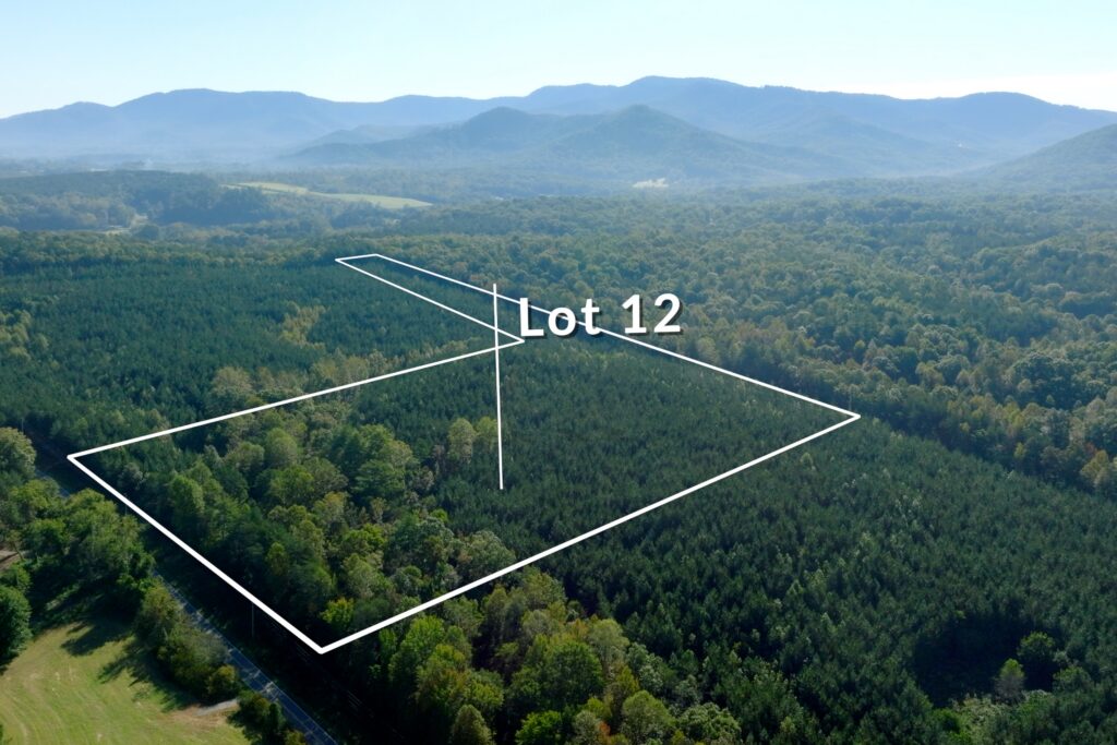
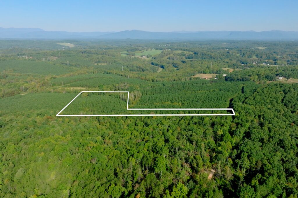
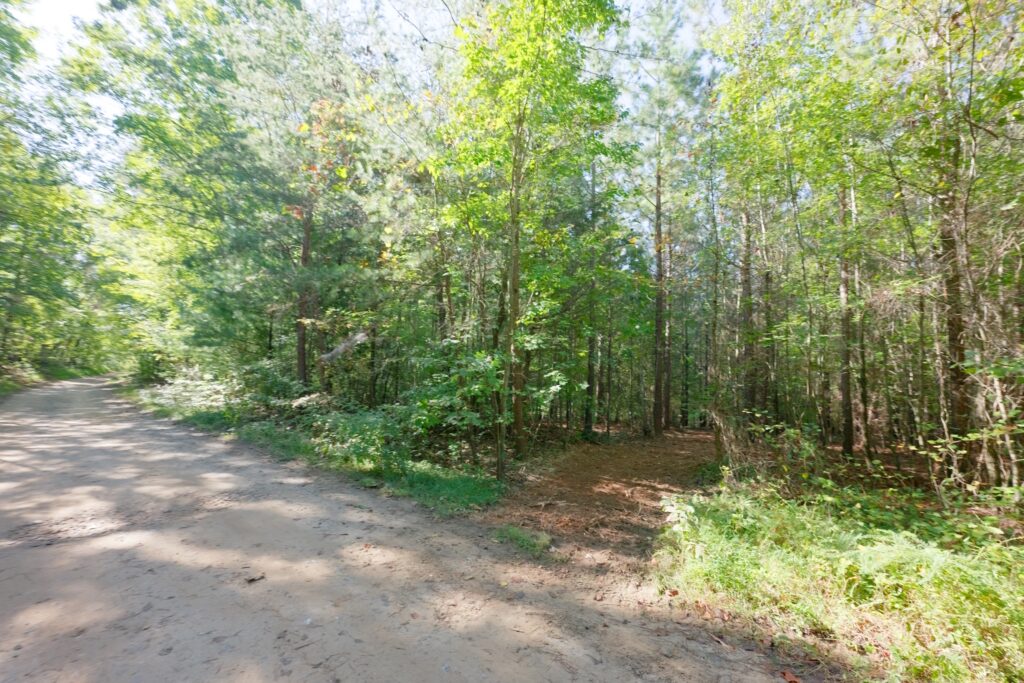
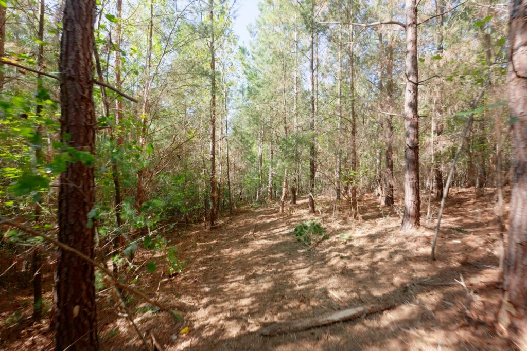
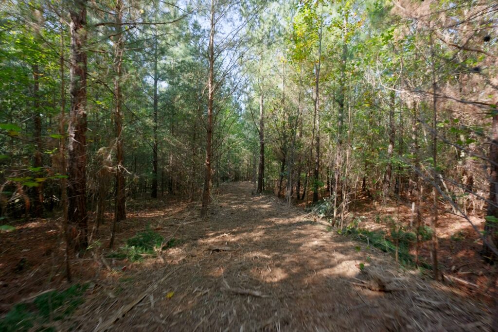
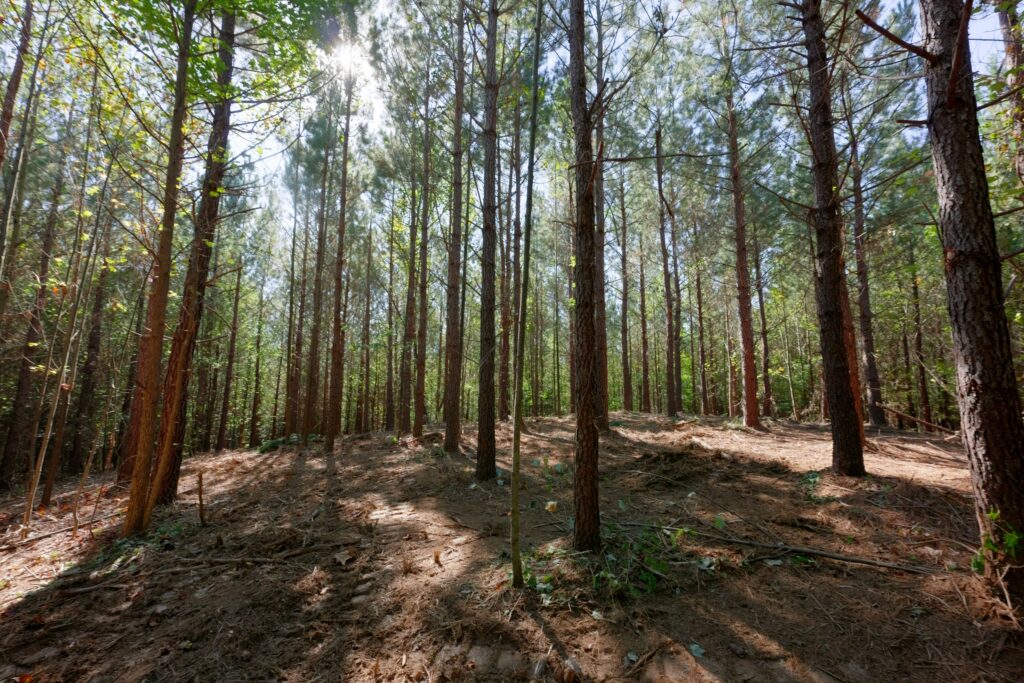
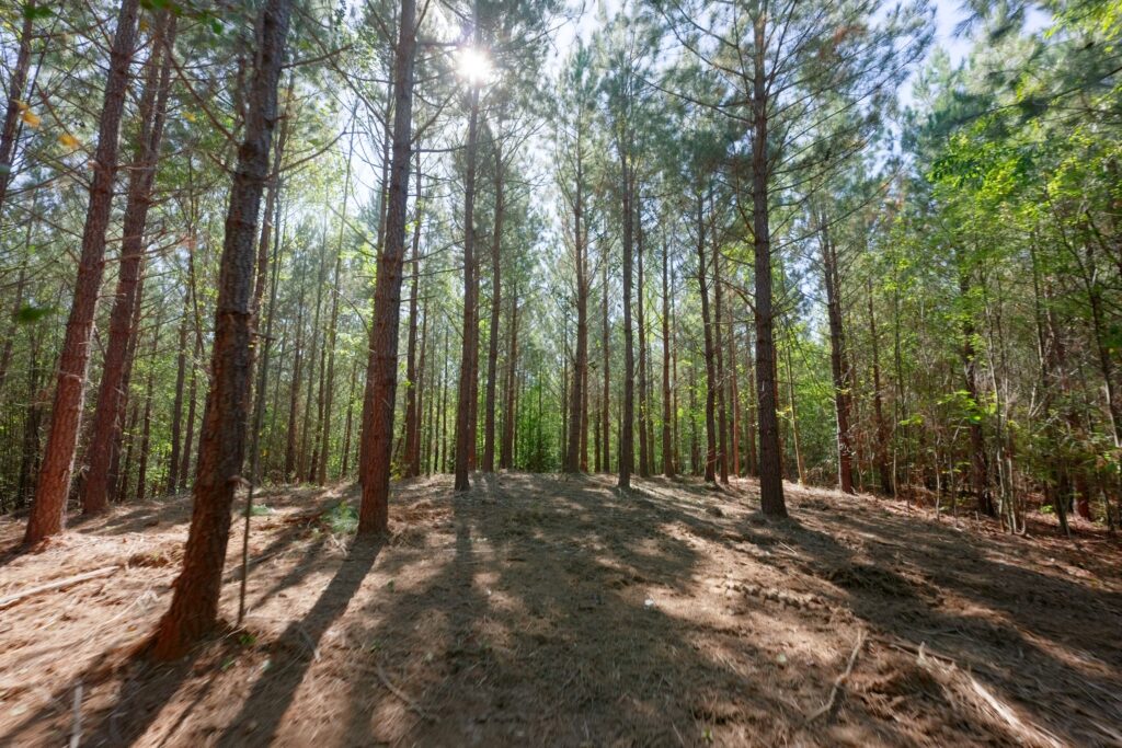
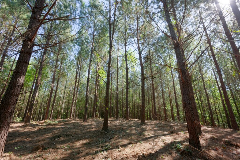
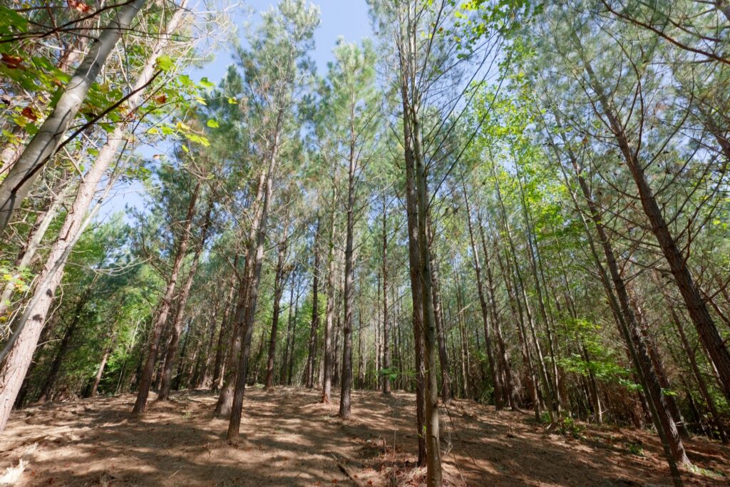
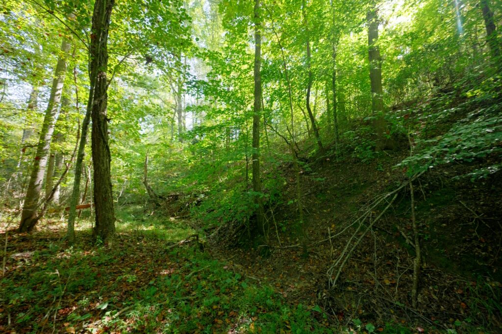
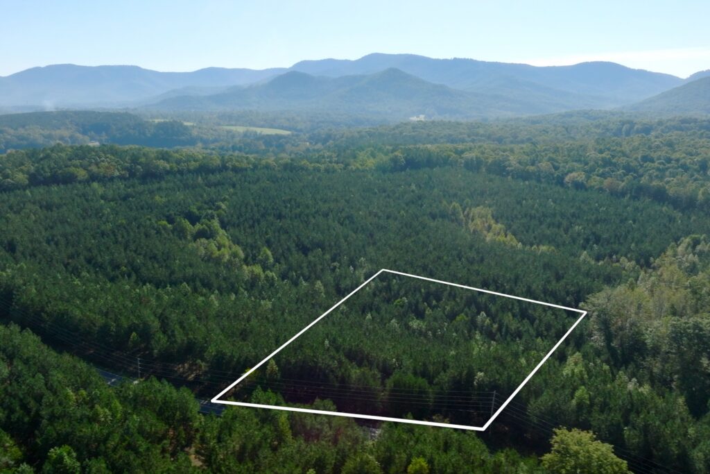
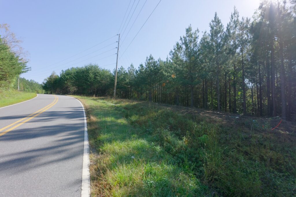
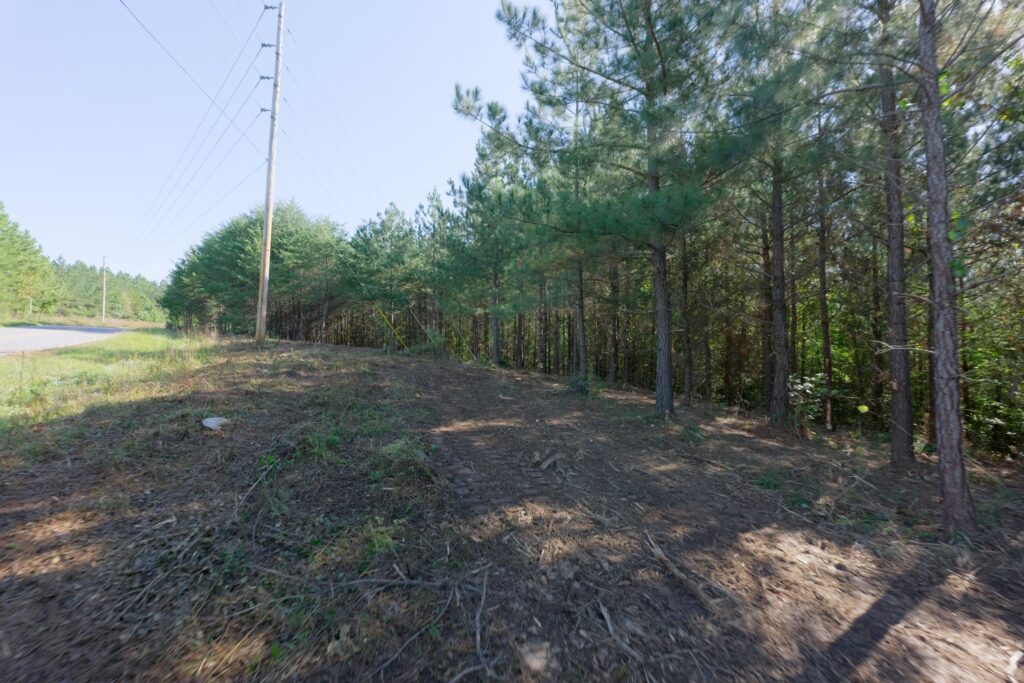
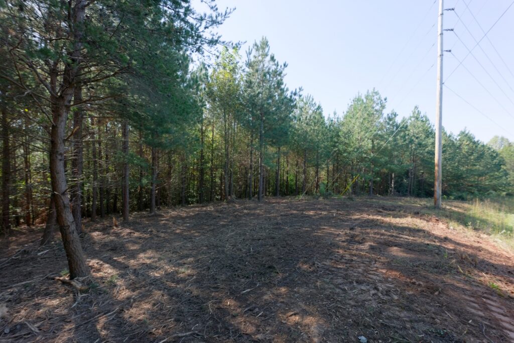
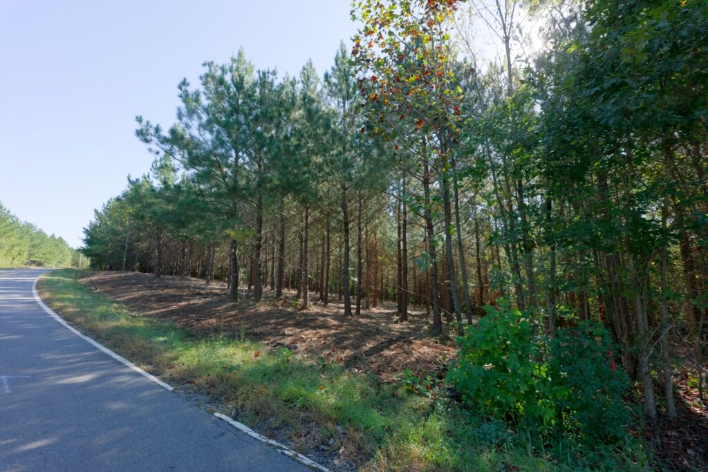
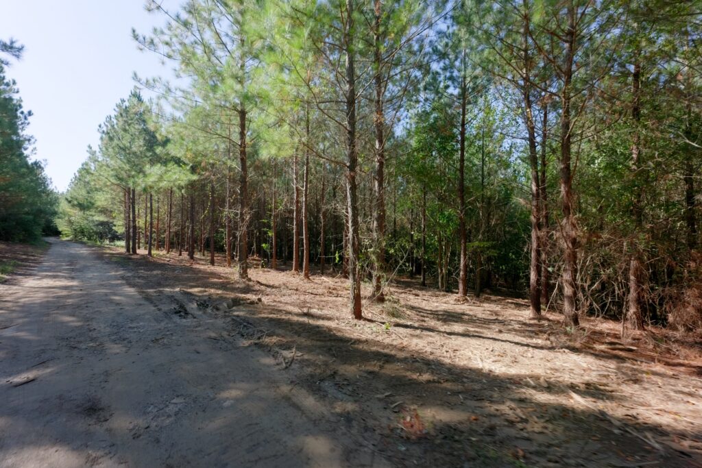
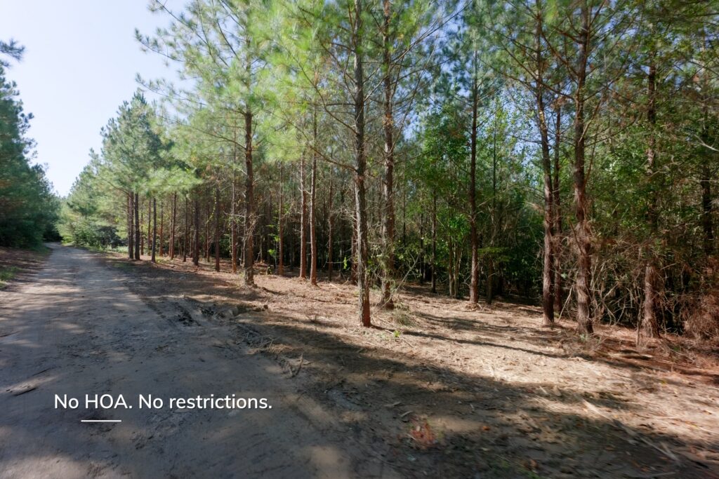
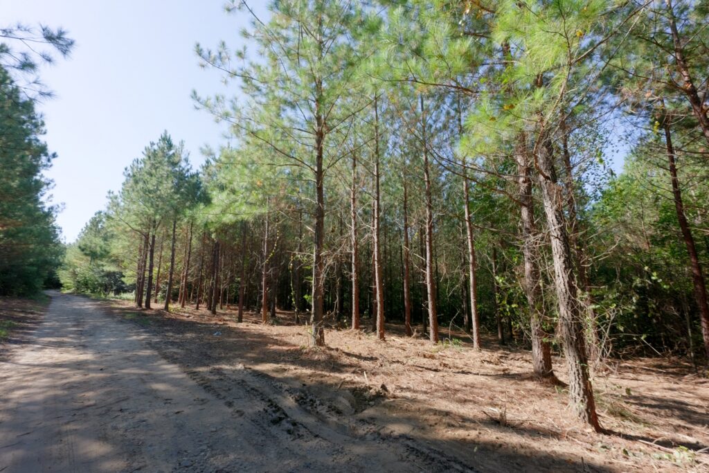
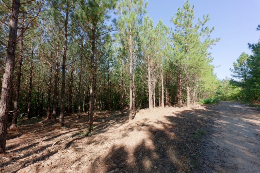
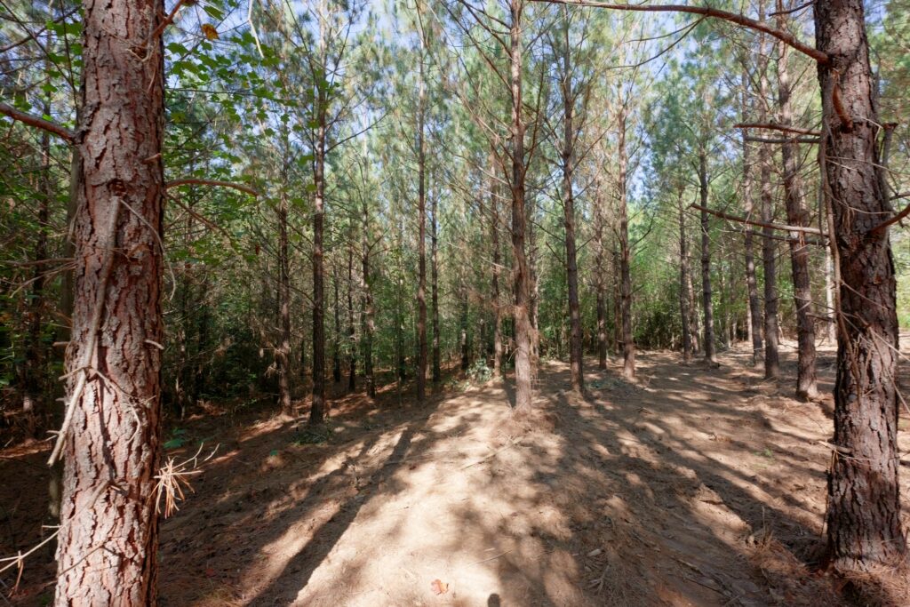
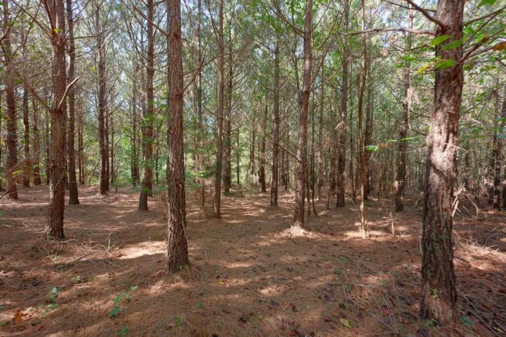
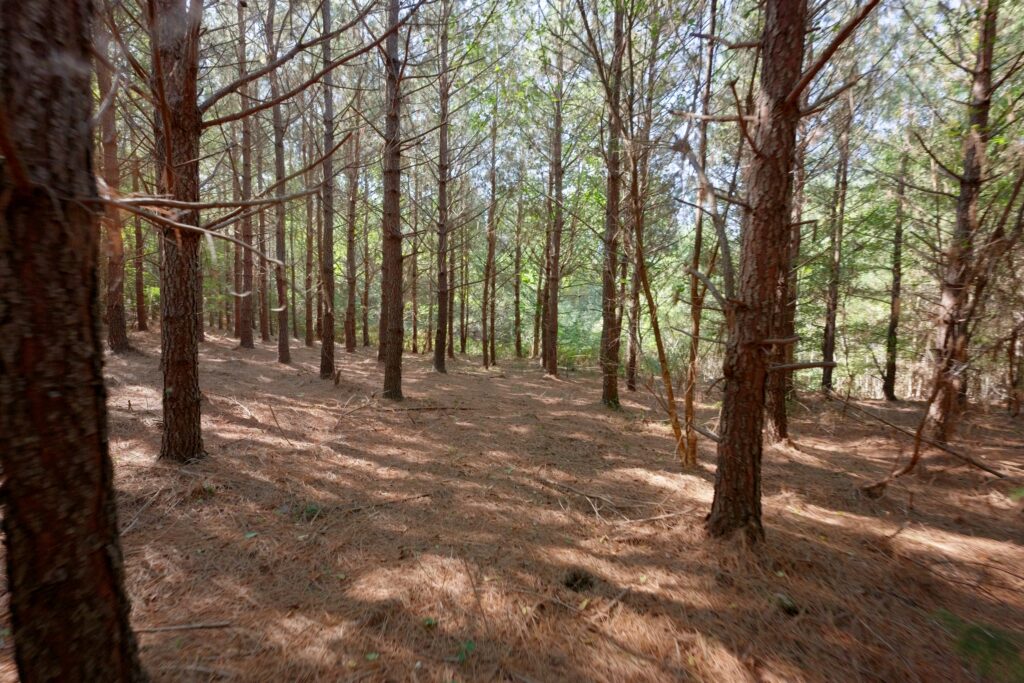
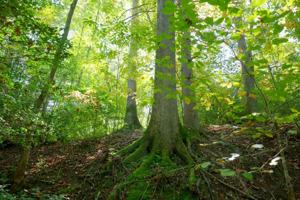
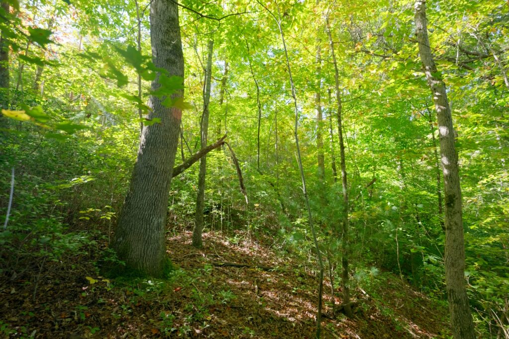
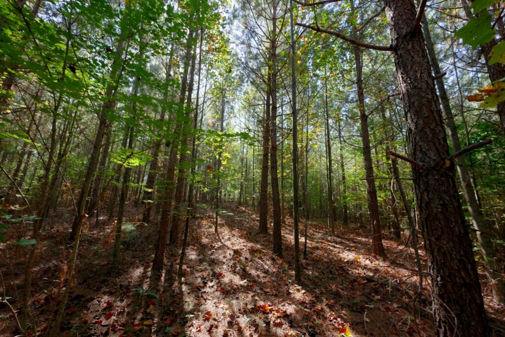
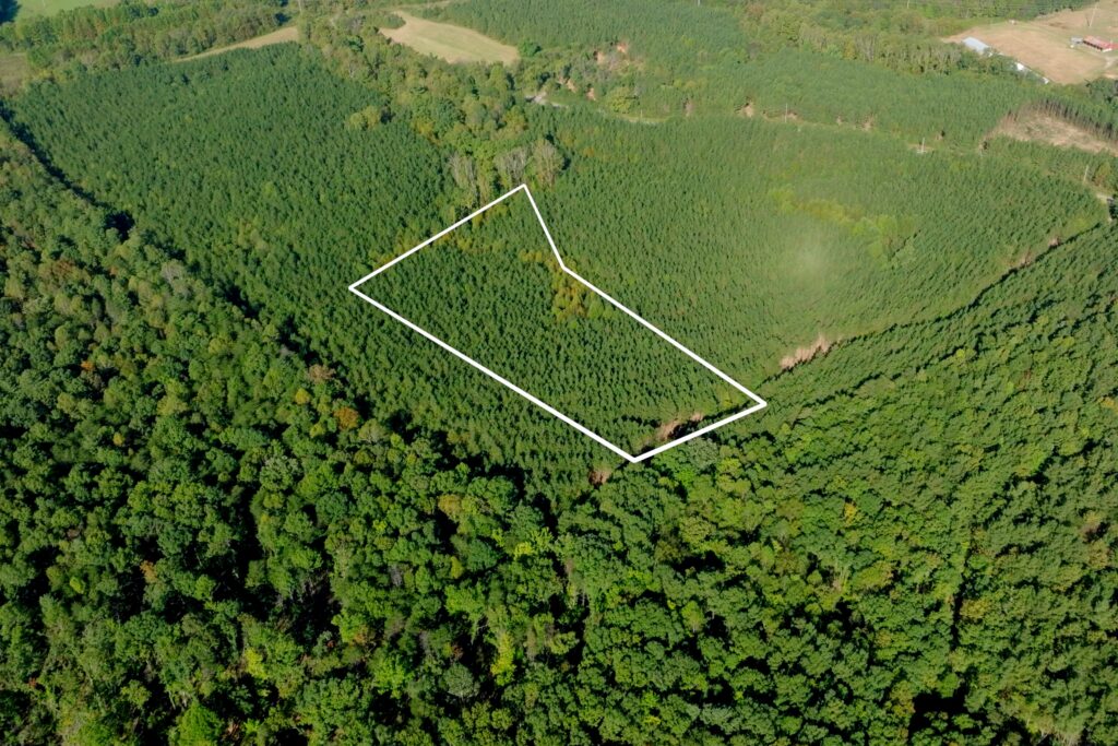
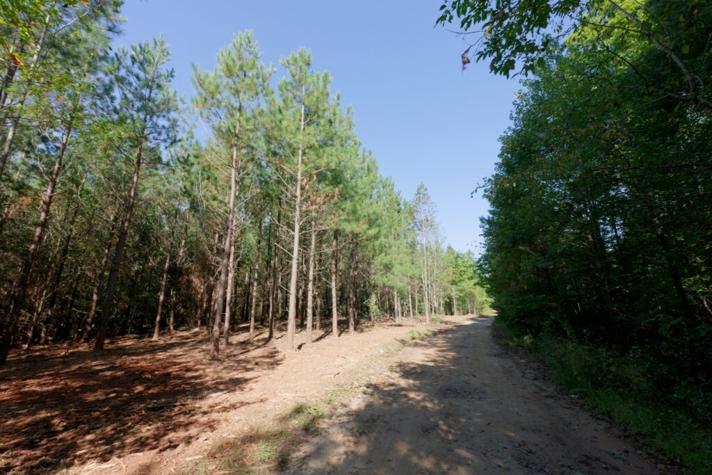
Set in the foothills just outside Morganton in Burke County, North Carolina, this 18-lot subdivision on 127 acres offers multiple options, either for a single large homesite or a family compound. No HOA and no deed restrictions. The property features a mix of mature and mid-aged timber, open hay fields, creek frontage, and multiple access points, along with paved public road frontage in a convenient location near Interstate 40 and area recreation.
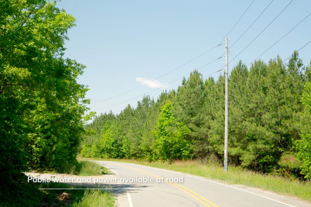
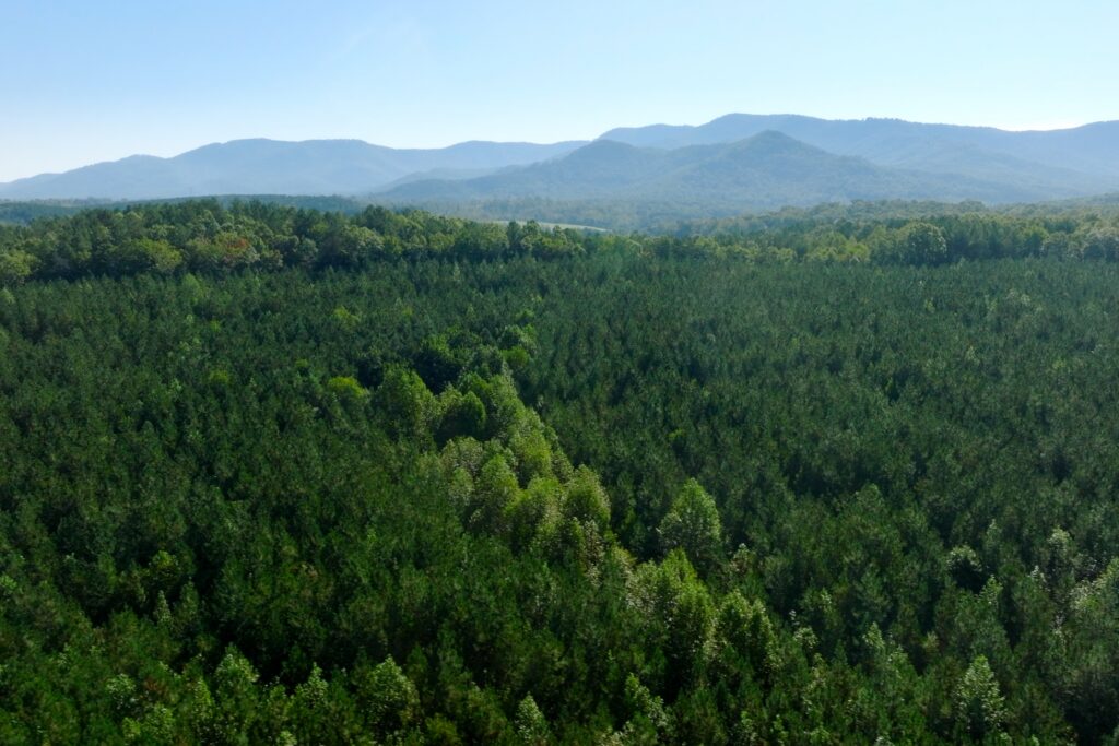
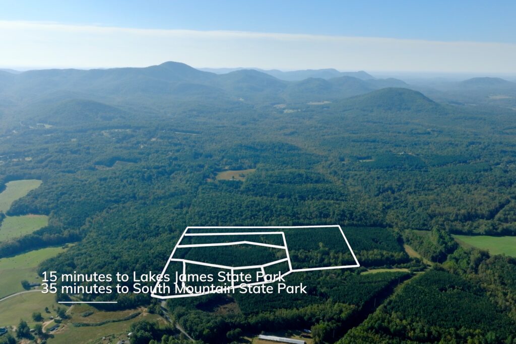
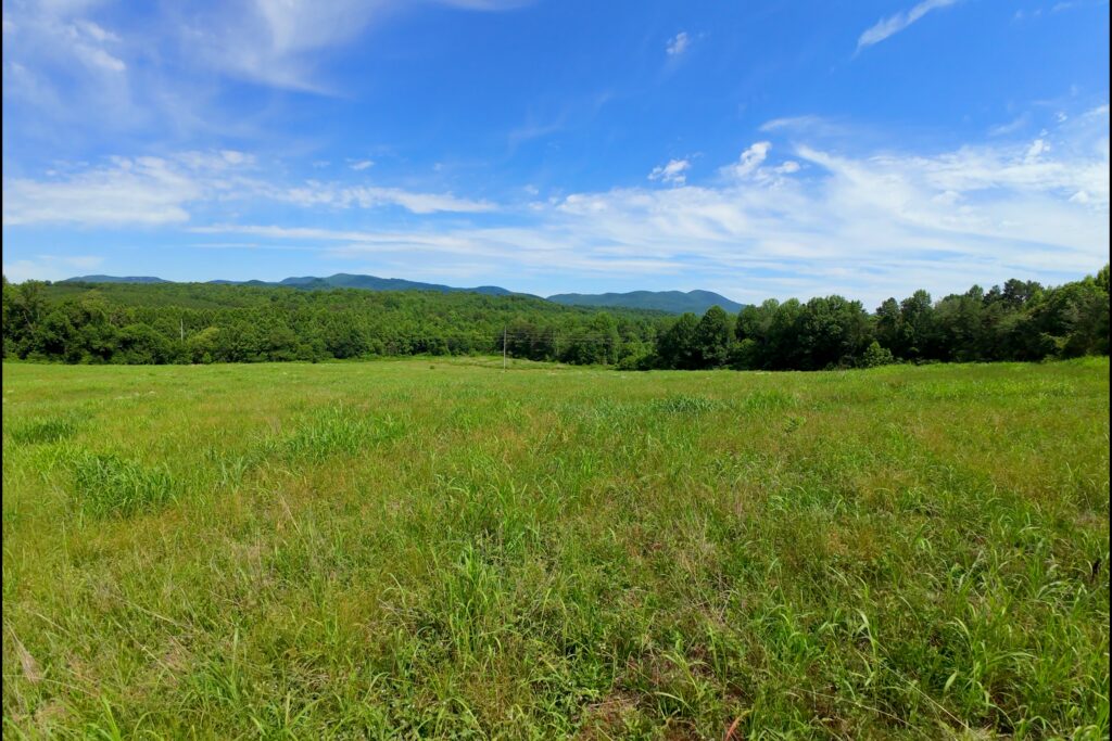
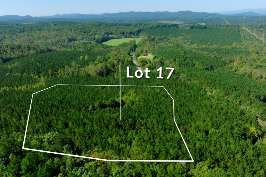
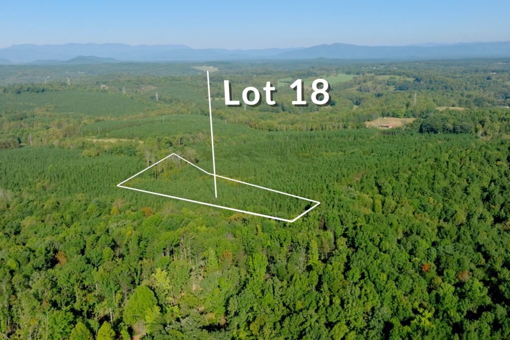
Several lots have access to Silver Creek, while others border tributary streams. Long-range mountain views are also available from portions of the property. Public water is available, power is available, and soils are suitable for septic. Paved public road frontage and low county property taxes help keep carrying costs down.
The property is close to South Mountains State Park and Game Lands, which offers 20,949 acres of public recreation land. From this location, you are about 15 minutes from Morganton, 13 minutes from Lake James, and roughly 45 minutes from Asheville.
Property Videos
Lots 1-11 Video (play full screen for best quality)
Lots 12-18 Video
Uses
Single Family Residential, Farm, Recreation
Lot Information & Price
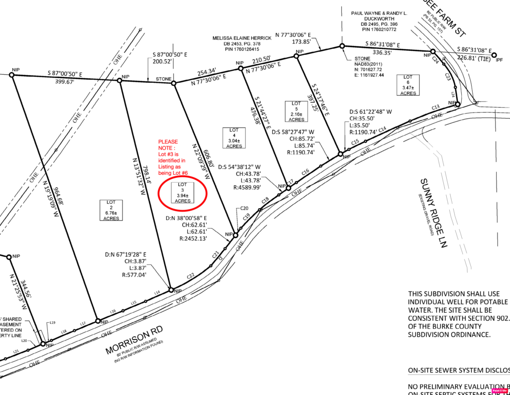
| Status | Parcel PIN | Size (acres) | Price | Lot # |
| Closed | 1659993735 | 10.51 | $165,000 | 1 – 1A |
| Available | 1659999749 | 12.86 | $185,000 | 2 – 2A |
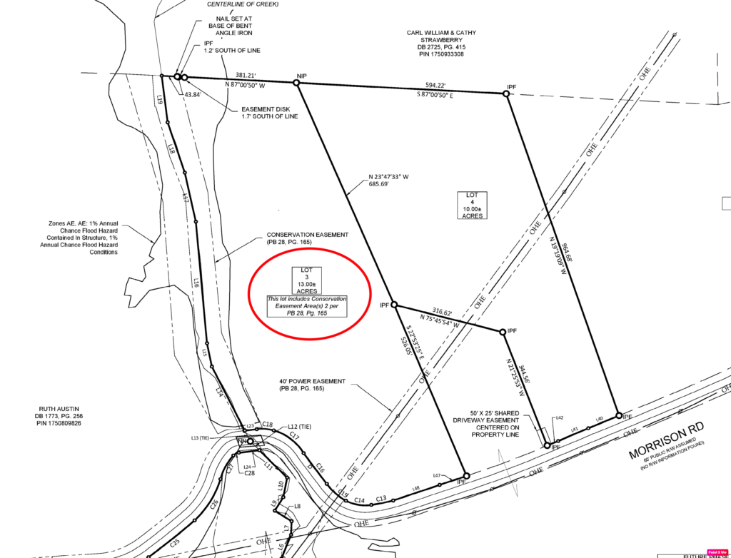
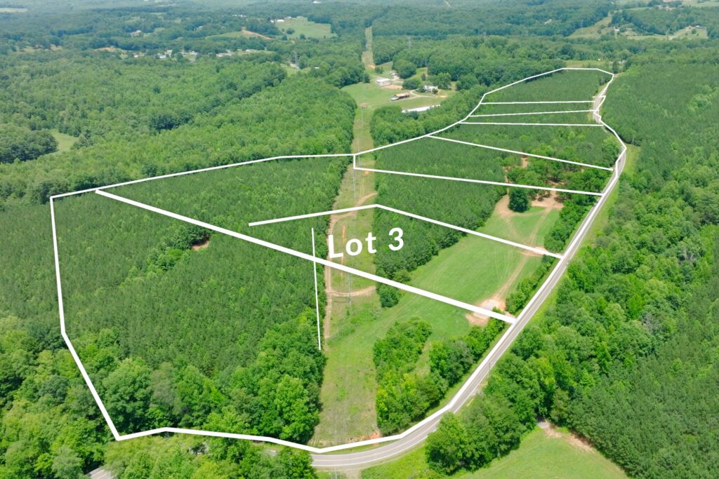
| Available | 1760000996 | 13.00 | $160,000 | 3 – 3A |
| Available | 1760006628 | 2.49 | $69,000 | 4 – 1B |
| Available | 1760016121 | 10 | $122,000 | 5 – 4A |
| Closed | 1760110088 | 6.76 | $115,000 | 6 – 2B |
| Closed | 1790113123 | 3.94 | $79,000 | 7 – 3B |
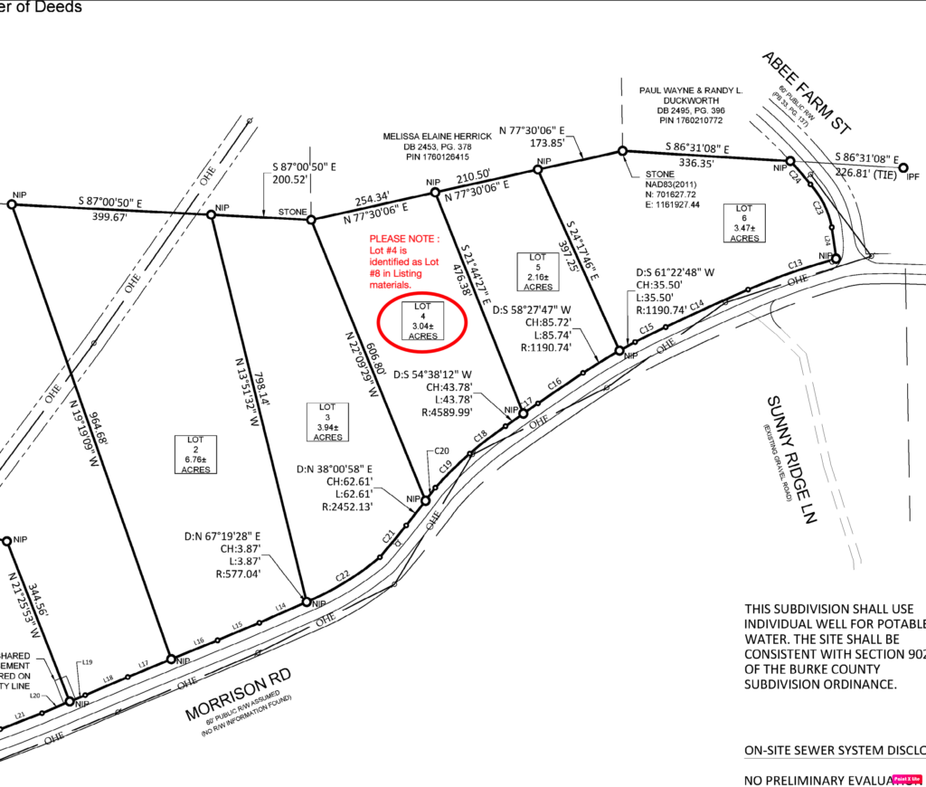
| Under Contract | 1760115265 | 3.04 | $66,000 | 8 – 4B |
| Closed | 1760117369 | 2.16 | $52,500 | 9 – 5B |
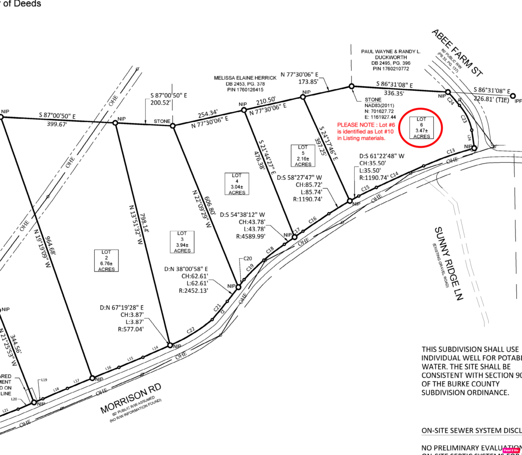
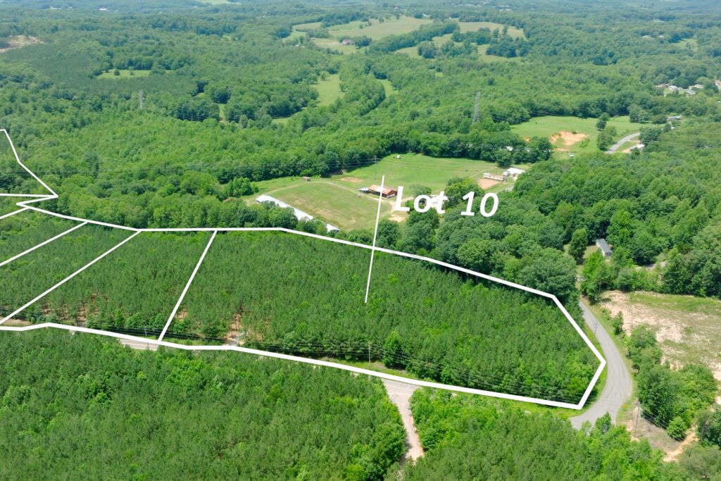
| Closed | 1760210540 | 3.47 | $79,900 | 10 – 6B |
| Closed | 1669095951 | 17.08 | $224,900 | 11 – 1C |
| Under Contract | 1760103105 | 17.42 | $149,900 | 12 – 2C |
| Available | 1760105740 | 1.4 | $39,000 | 13 – 1D |
| Available | 1760107845 | 1.59 | $45,000 | 14 – 2D |
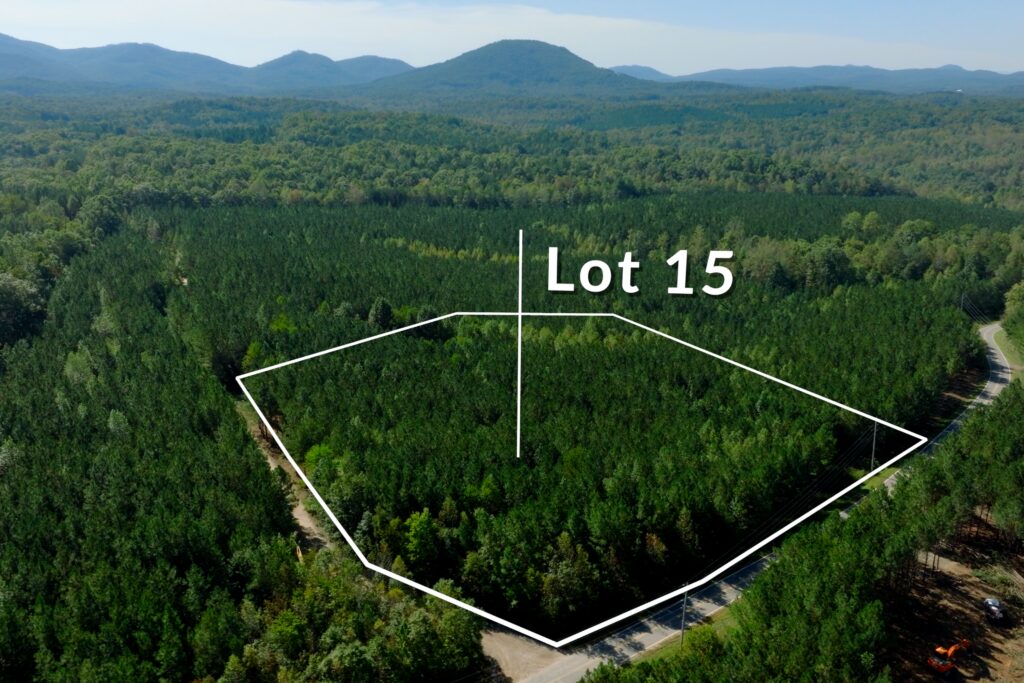
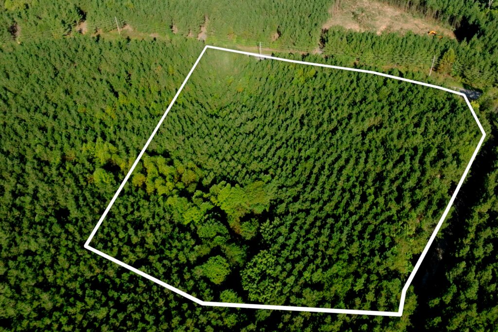
| Available | 1760200957 | 5.29 | $99,000 | 15 – 3D |
| Available | 1760213098 | 2.31 | $49,000 | 16 – 4D |
| Available | 1760109590 | 8.73 | $115,000 | 17 – 5D |
| Under Contract | 1760200185 | 5.71 | $59,900 | 18 – 6D |
Property Features
- 18 new lots on 127 acres
- No deed restrictions
- Conveniently located just outside Morganton in Burke County, NC
- Public water available
- Power available
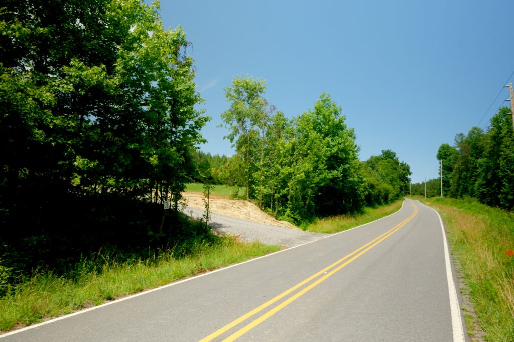
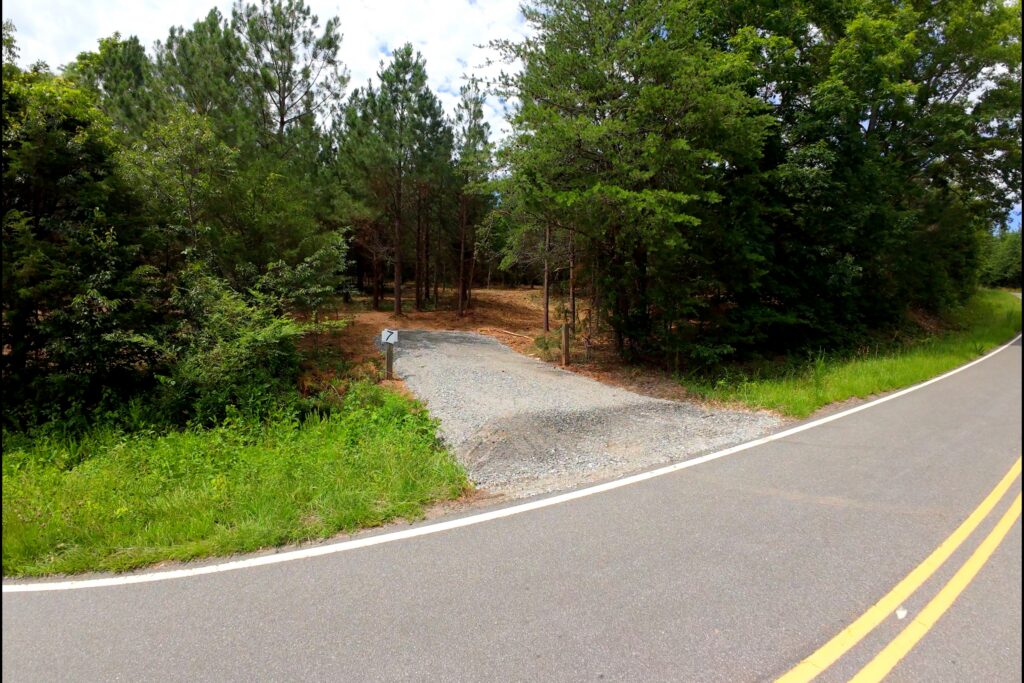
- Paved public road frontage (except lots 17 & 18)
- Soils suitable for septic
- Access to Silver Creek (lots 2, 3 & 11)
- Access to tributary streams on certain lots
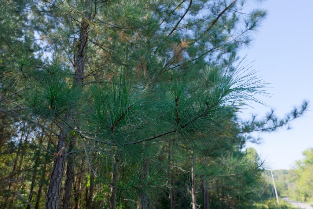
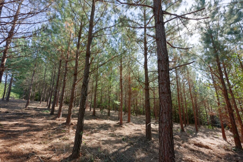
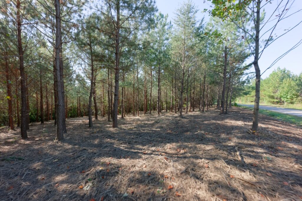
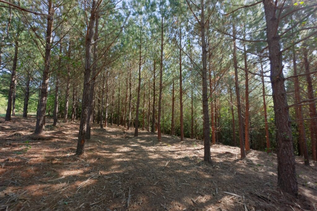
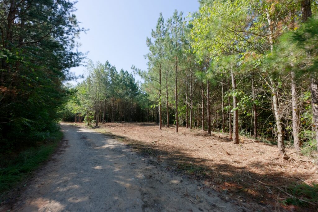
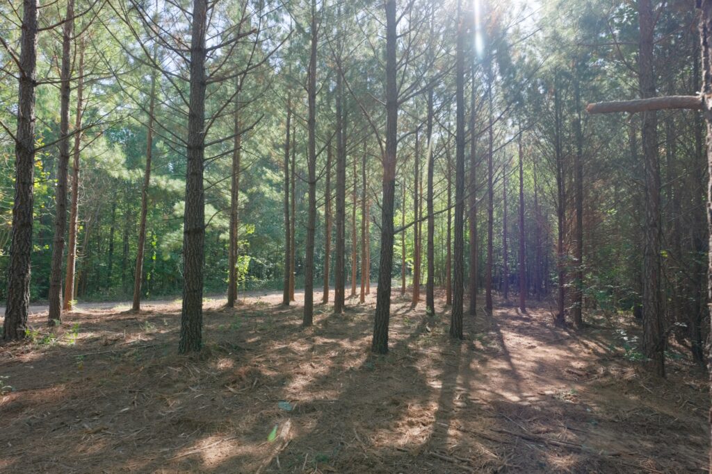
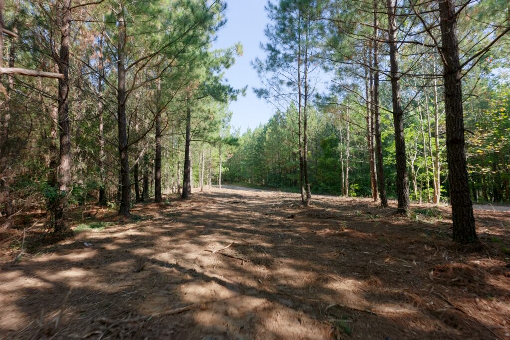
- Mid aged loblolly pine forest
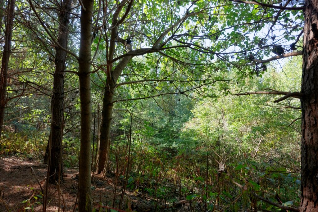
- Mature hardwood forest
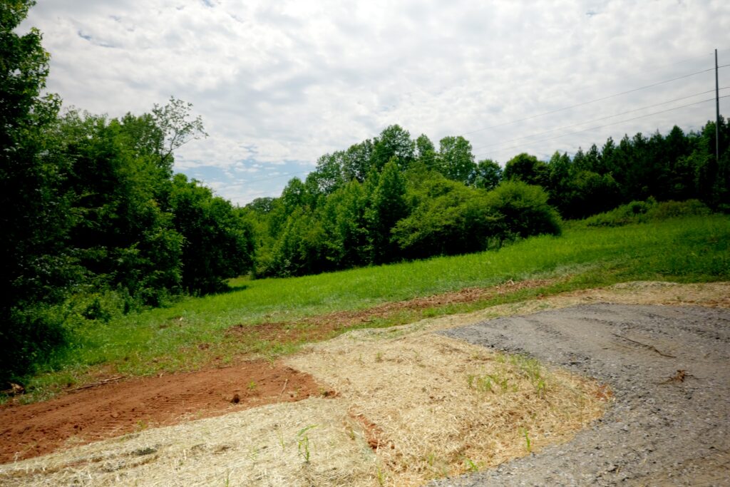
- Hay fields (lots 1, 2, 3, 4, 5 & 11)
- Low county 0.66% property taxes
- Close to South Mountain State Park ~ 42,596 acres of public land (including S.M. Game Land)
Distances
- 6 minutes to South Mountain State Park
- 13 minutes to Lake James
- 15 minutes to Morganton, NC
- 45 minutes to Asheville, NC
- 45 minutes to the Tryon International Equestrian Center
Property Maps & Attachments (click to access)
- Aerial Map Lots 1, 2 & 11
- Aerial + Contours Map Lots 1, 2 & 11
- Aerial Map Lots 3-10
- Aerial Map I Lots 11-18
- Aerial Map II Lots 11-18
- Aerial + Contours Map Lots 3-10
- Topo Map Lots 3-10
- Topo Map Lots 11-18
- Location Map I
- Location Map II
- Google Map
- Form 220
- MOG
- Vacant Land Disclosure
- Master Subdivision Survey
- Survey Plat Map lots 1, 2, 3 & 5 (new lots 1, 2, 3, & 4)
- Survey Plat Map lots 4, 6, 7, 8, 9 & 10 (new lots 1, 2, 3, 4, 5 & 6)
- Survey Plat Map Lots 11-12
- Survey Plat Map Lots 13-18
- Soils Evaluation Report
- Conservation Easement Survey
- Conservation Easement
- Conservation Easement Illustration I
- Conservation Easement Illustration II
- Power Line Easement


Directions & Coordinates
From Dysartsville Road, take Morrison Road 0.5 miles and lot #1 will begin in 0.5 miles. Neighbors address is 5249 Morrison Road Morganton, NC 28655. Use interactive map (link above) from your smartphone in order to navigate the lot with the Land ID App. You must download the LandID (free) app on your smartphone in order to see yourself on the map. Land ID app is free to use provided you click on my map link above once your app is downloaded – do not let Land ID trick you into subscribing.
GPS Coordinates 35.6420, -81.8253
Property Photographs




Lot 1 Pictures



Lot 2 Pictures





Lot 3 Pictures



Lot 4 Pictures
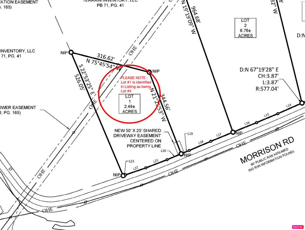


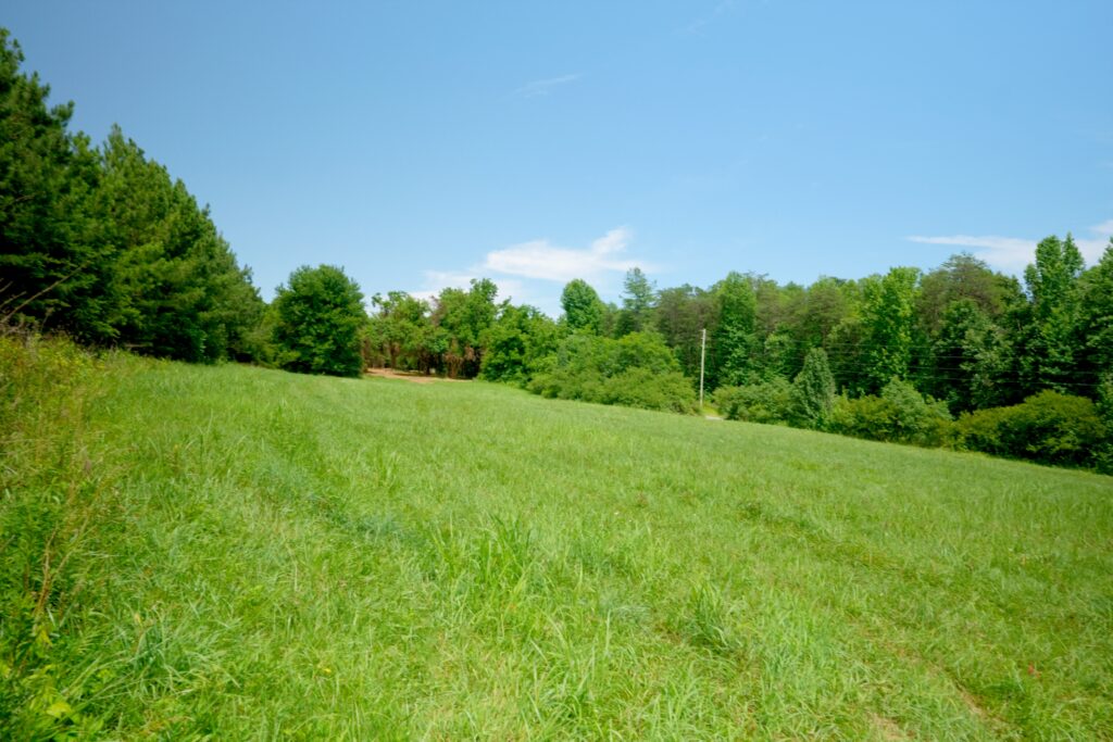
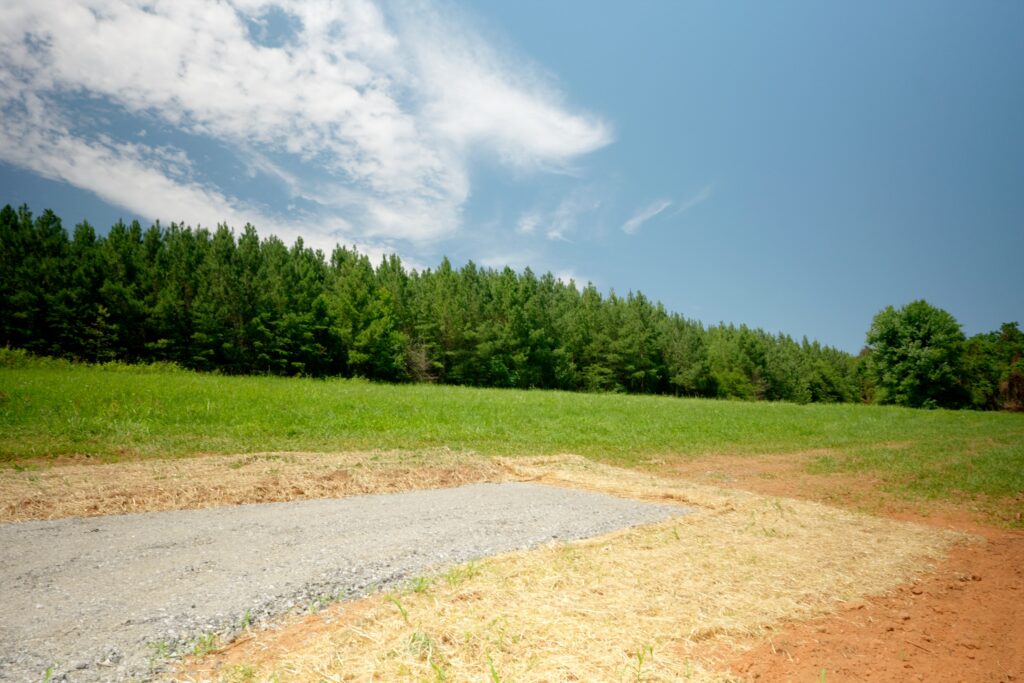
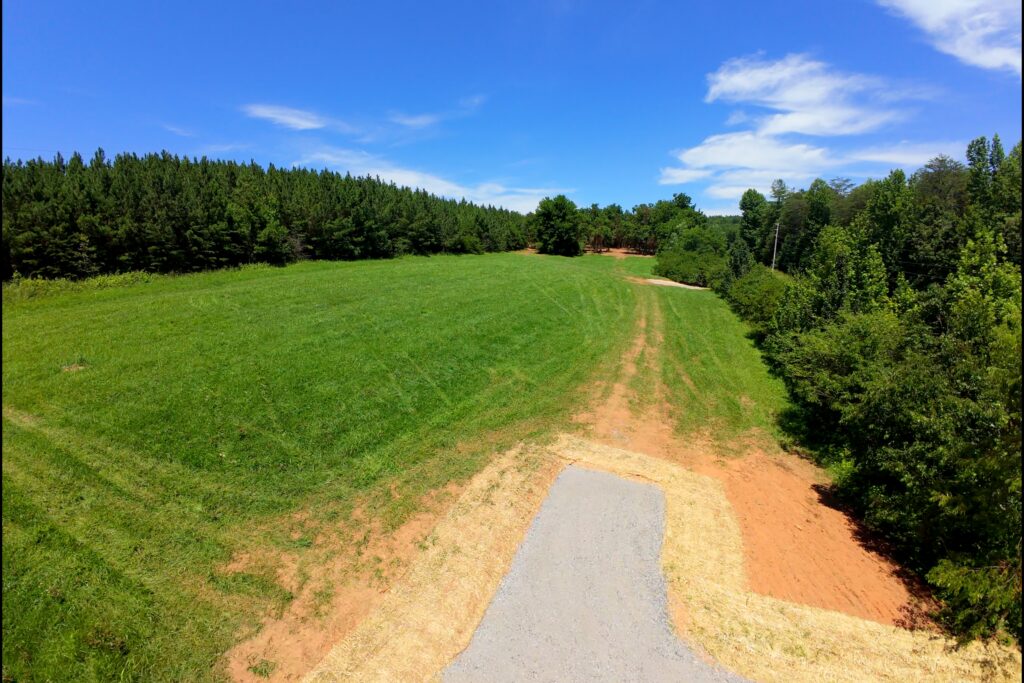
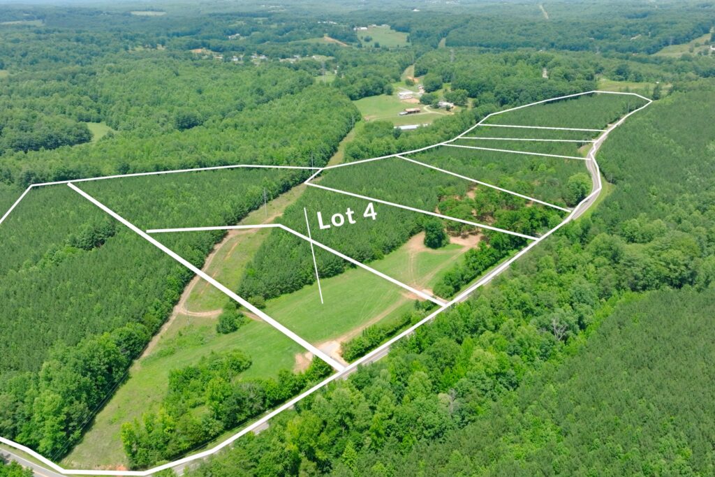
Lot 5 Pictures
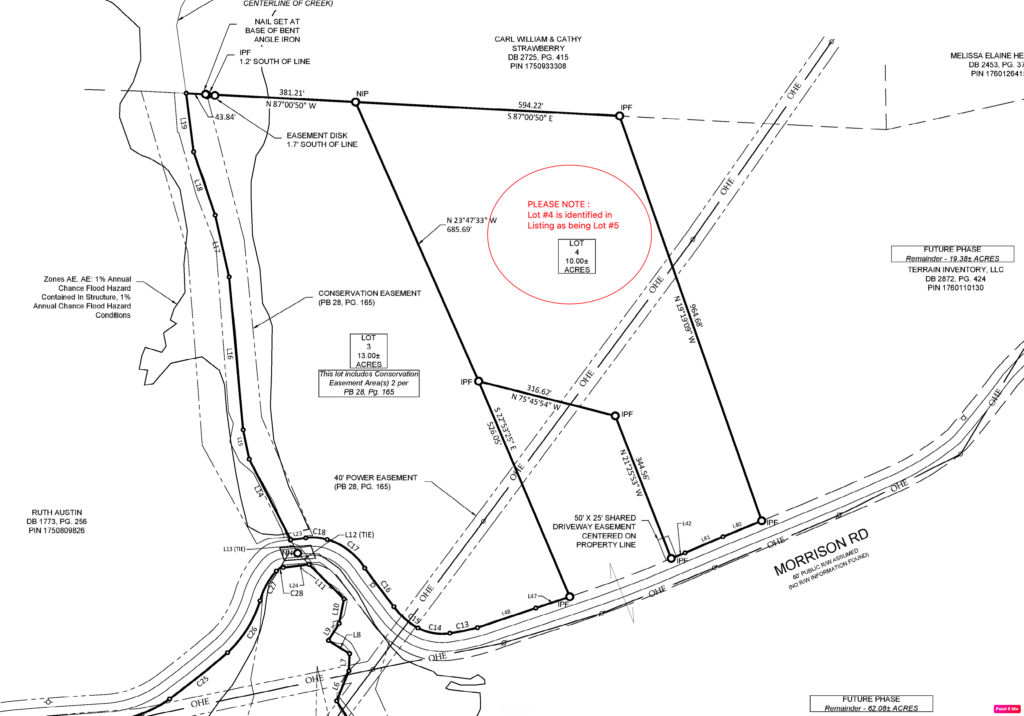
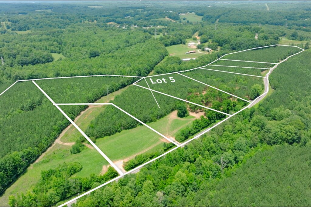
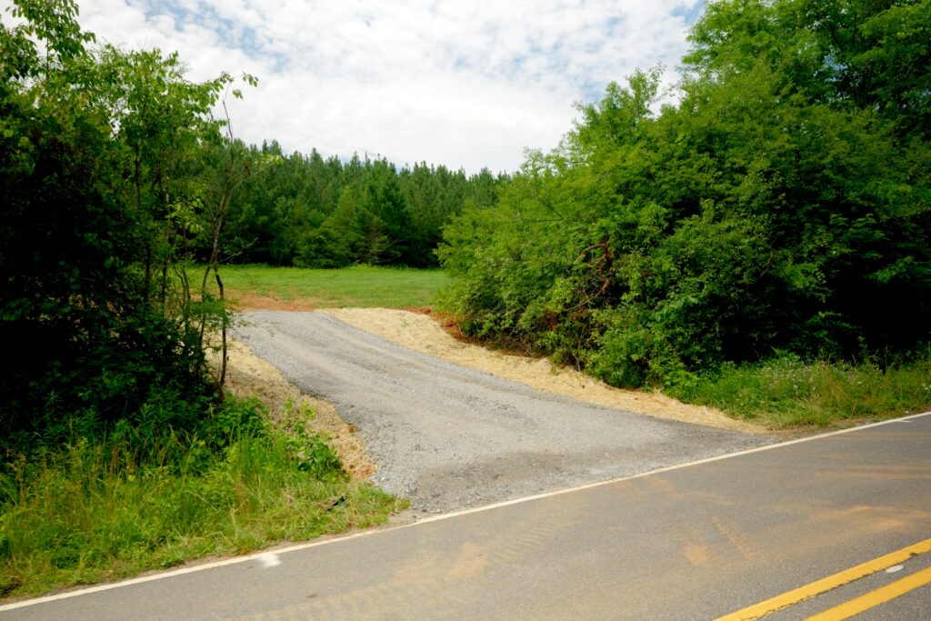
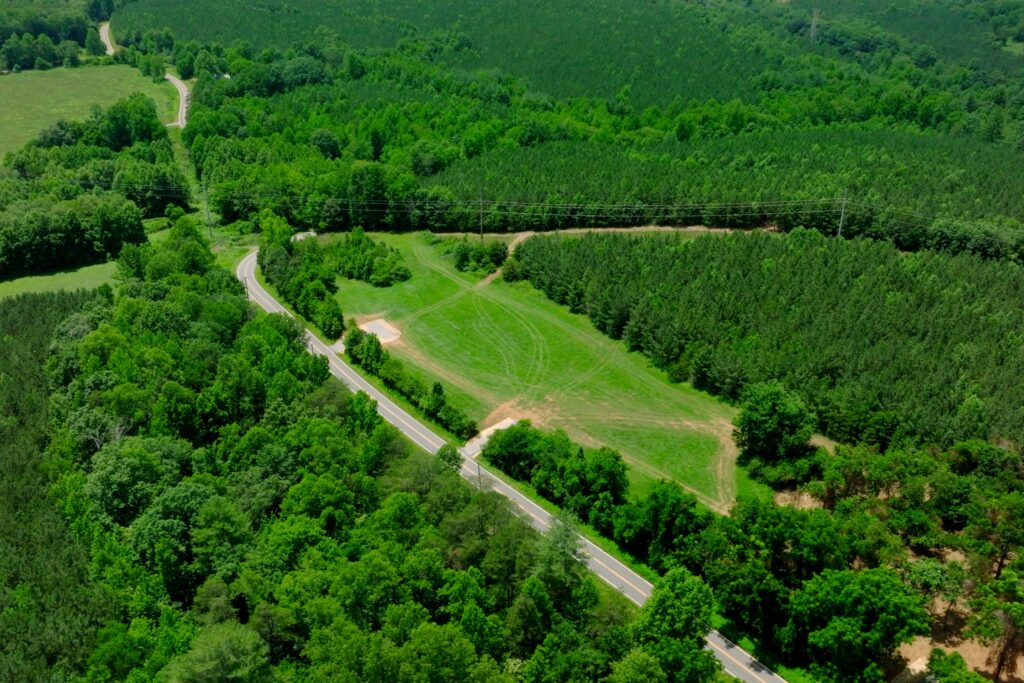
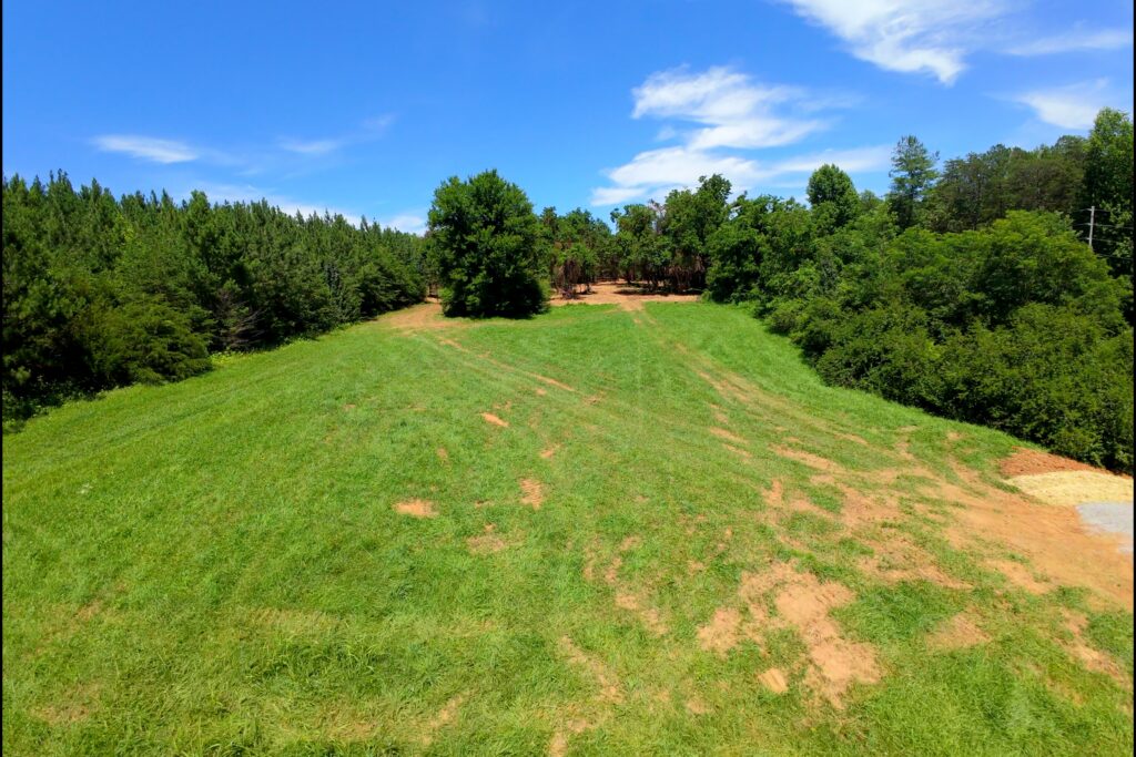
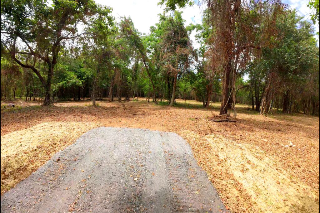
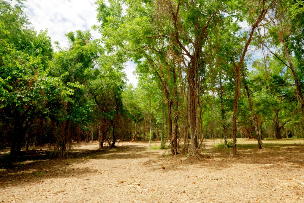
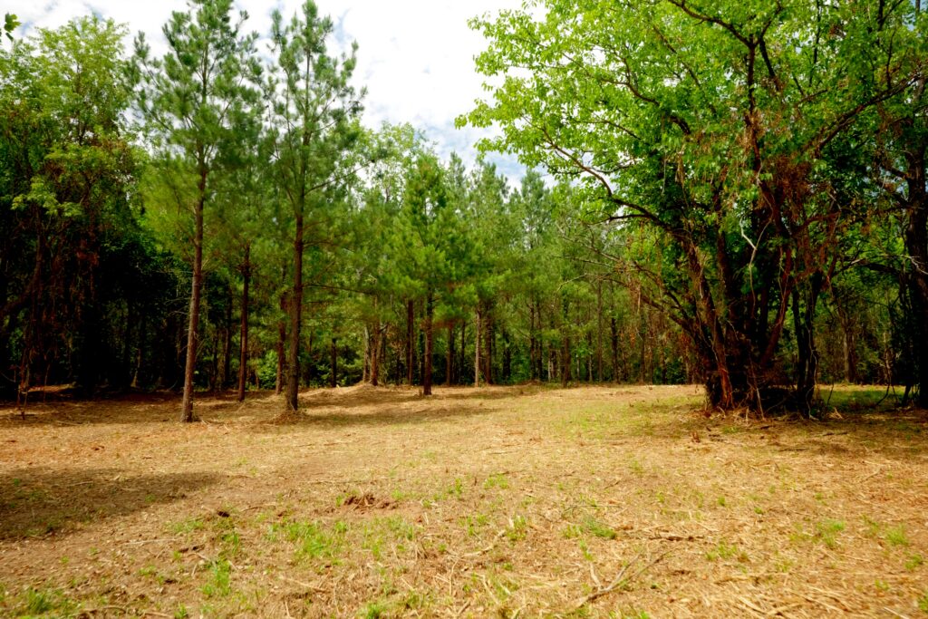
Lot 6 Pictures
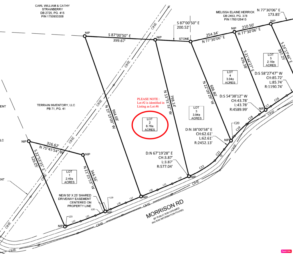

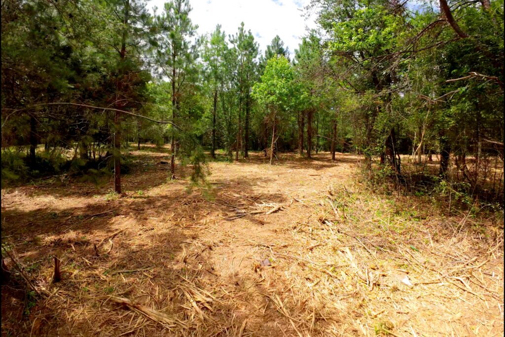
Lot 7 Pictures

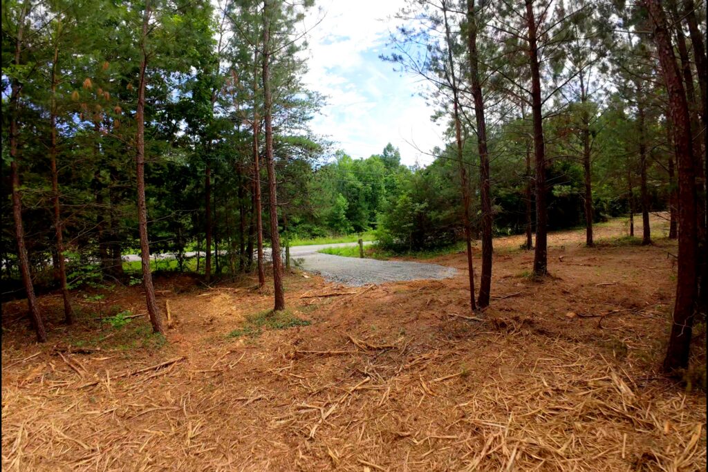
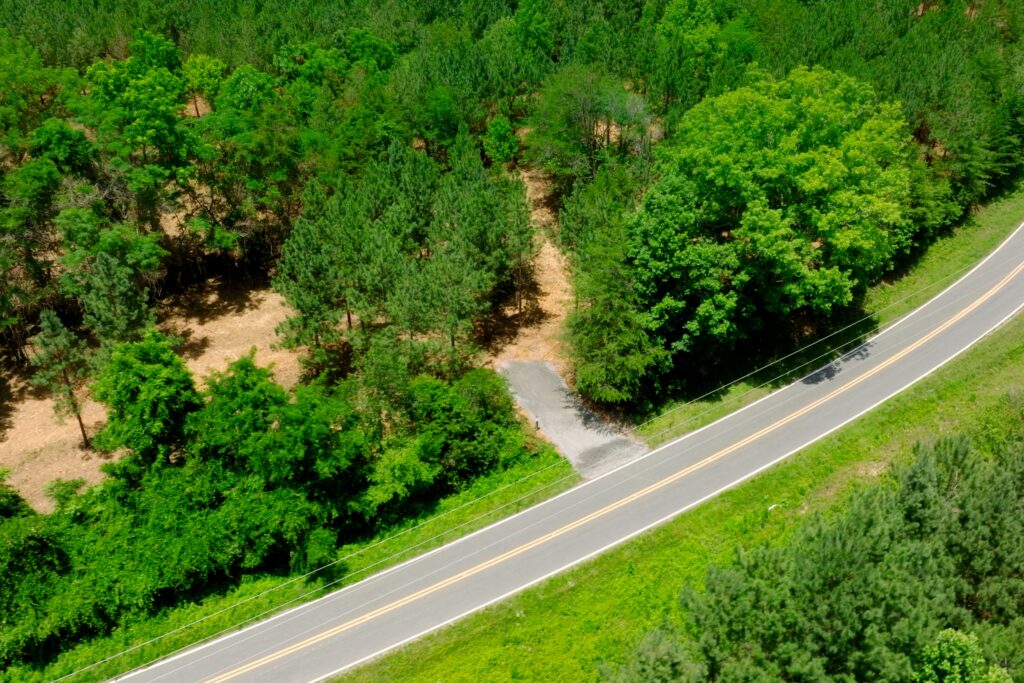
Lot 8 Pictures
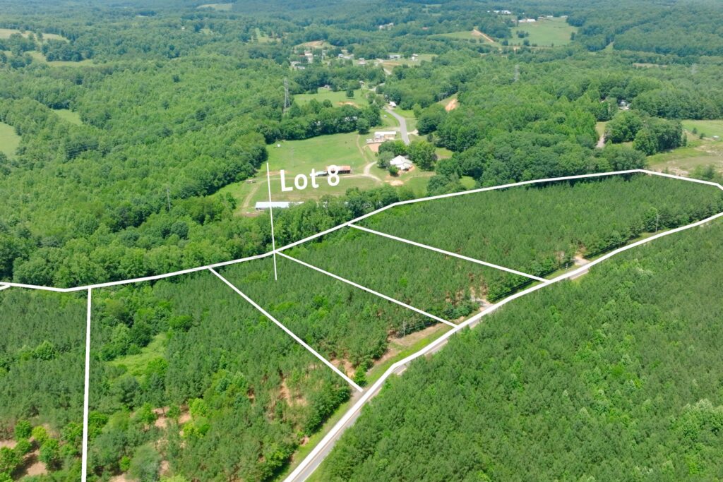

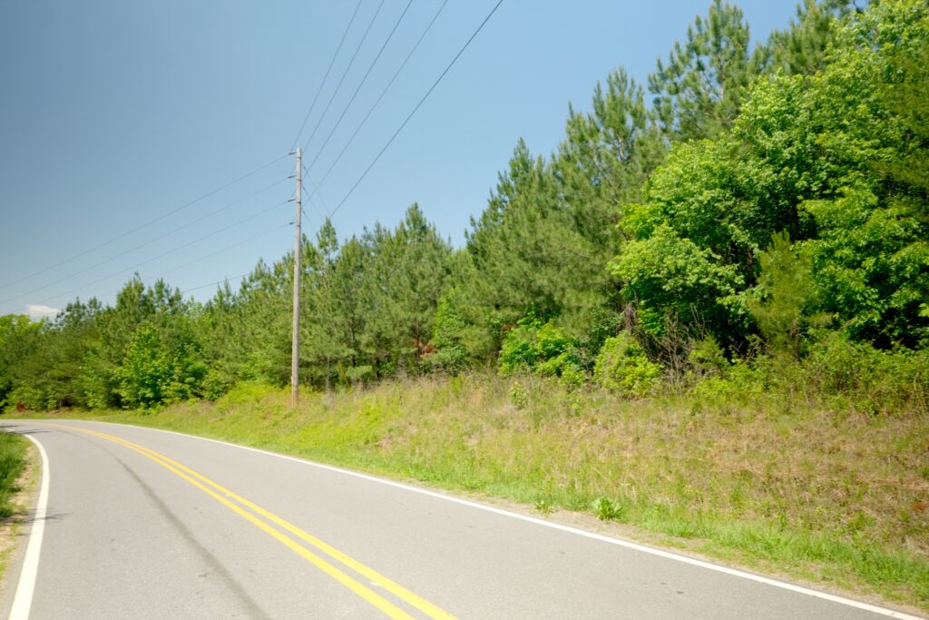

Lot 9 Pictures
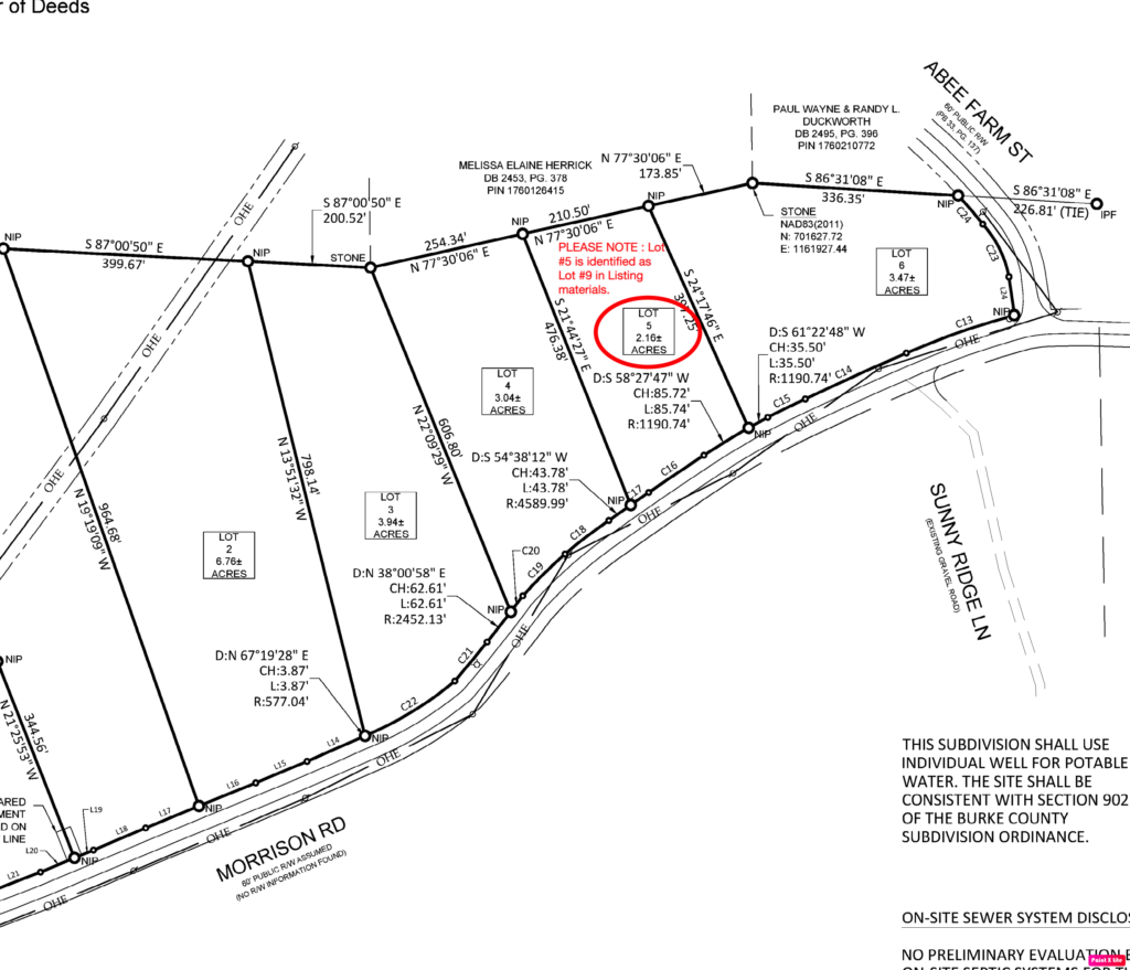
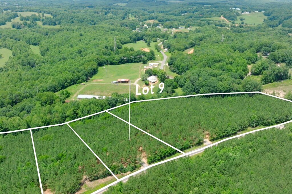
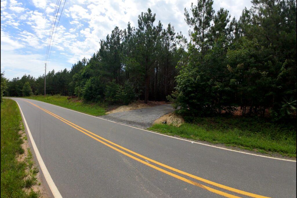
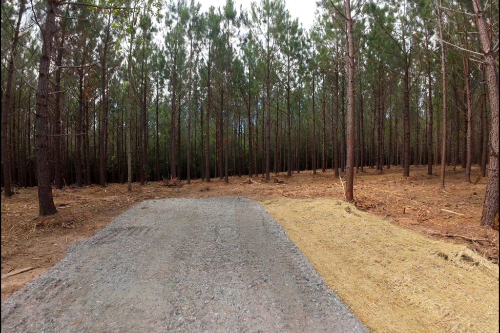
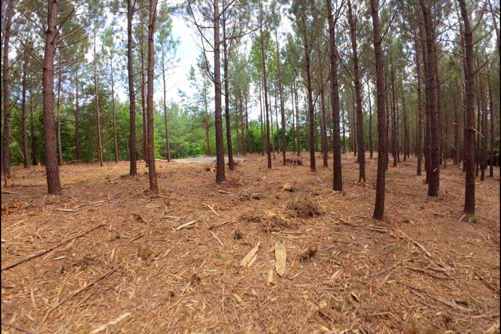
Lot 10 Pictures
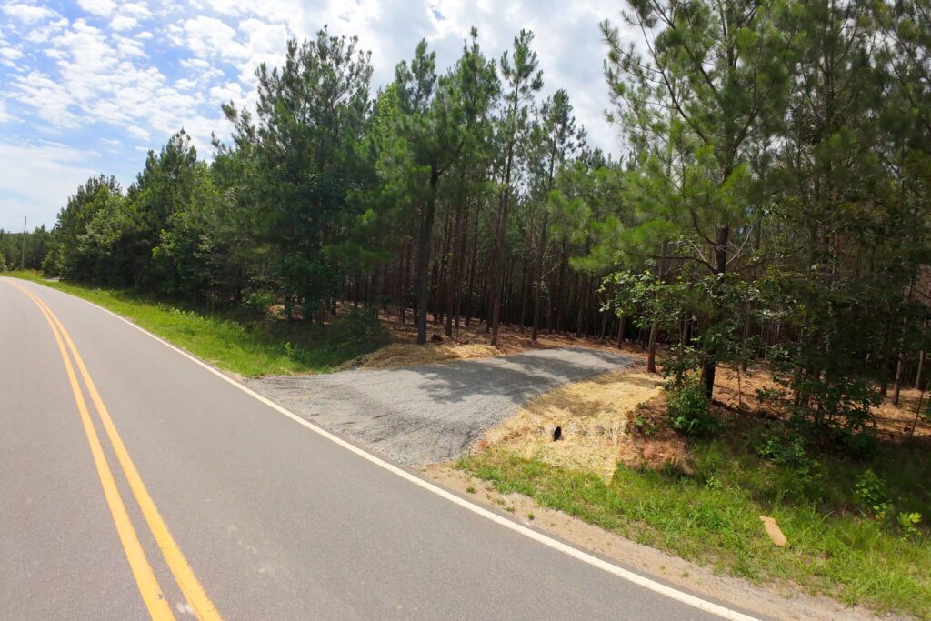

Lot 11 Pictures
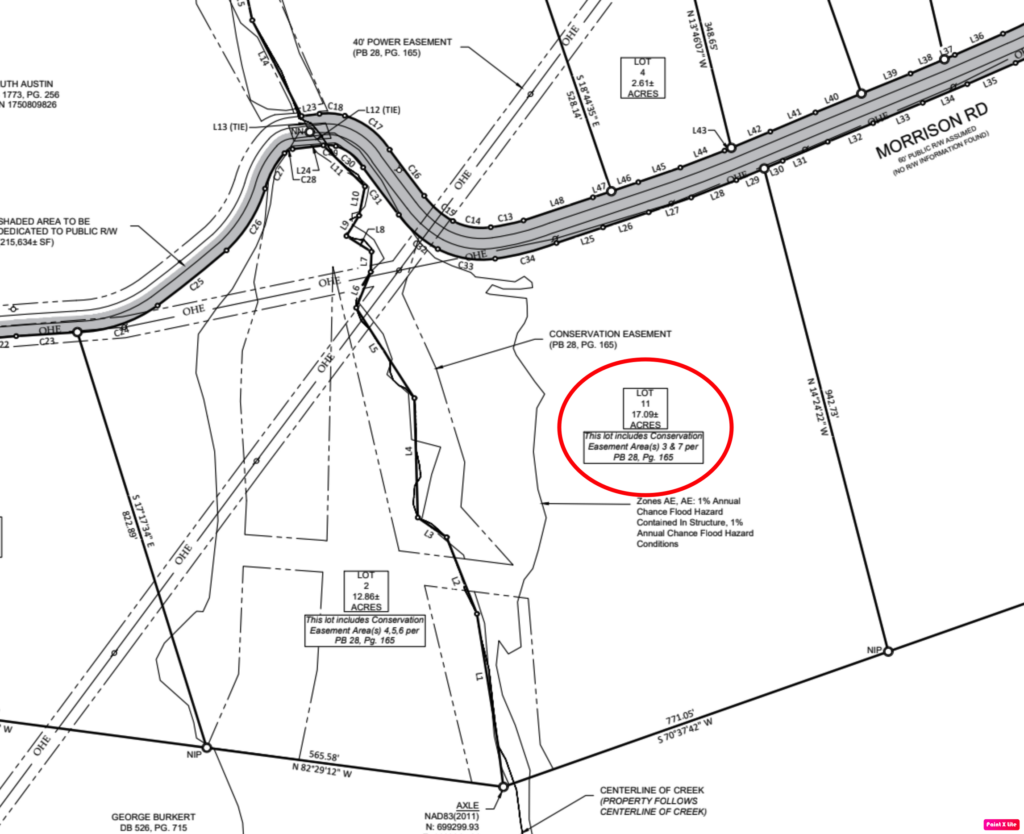
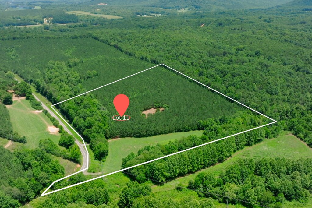
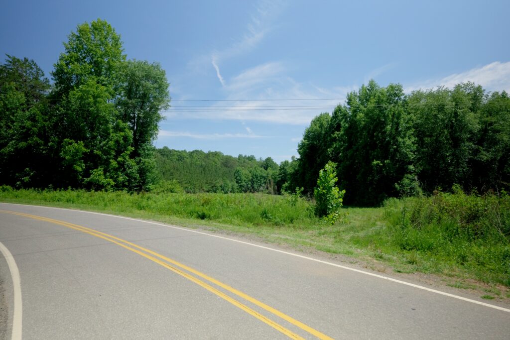

Lot 12 Pictures
Lot 13 Pictures
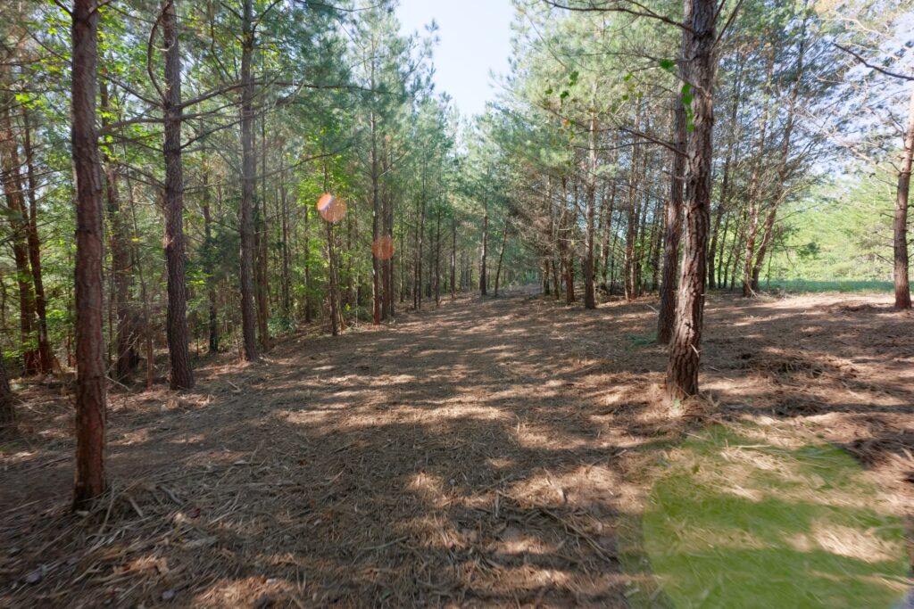
Lot 14 Pictures
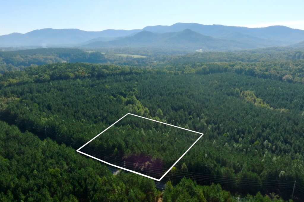
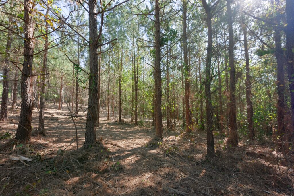
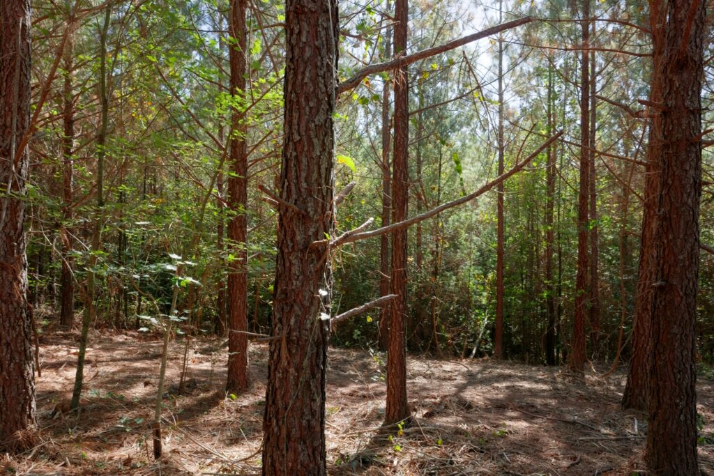
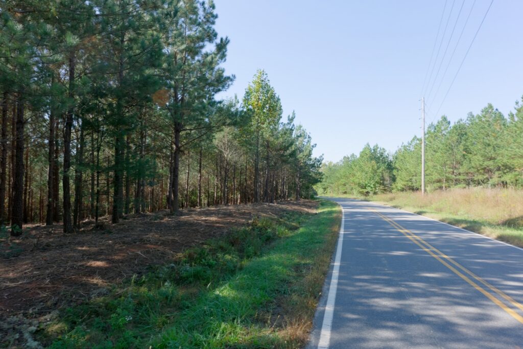
Lot 15 Pictures
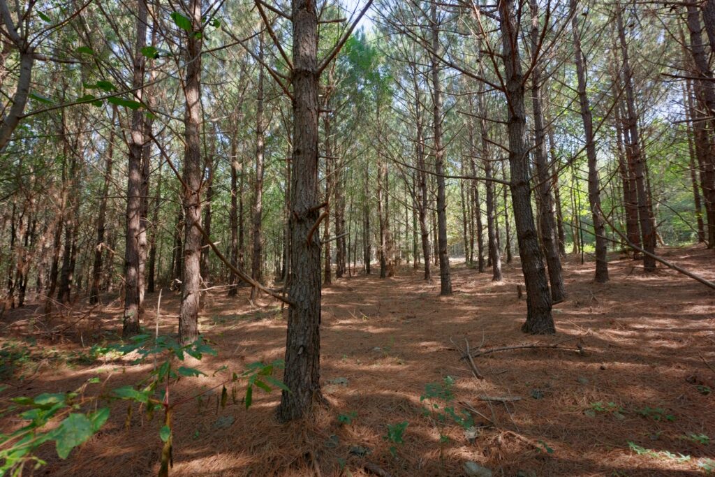
Lot 16 Pictures
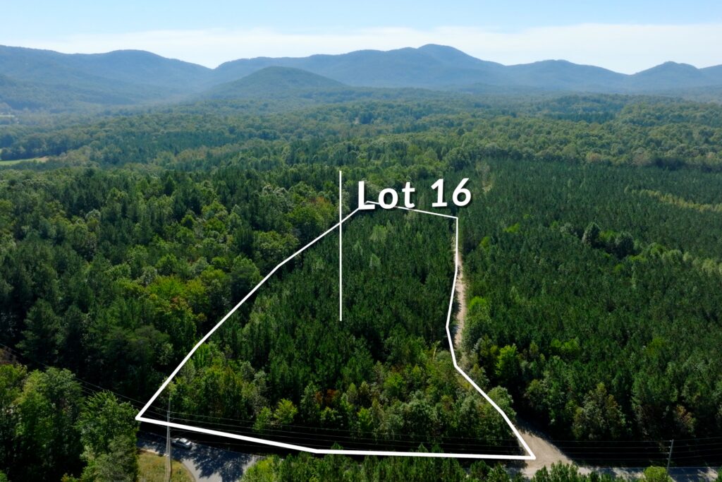
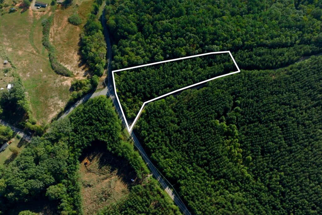
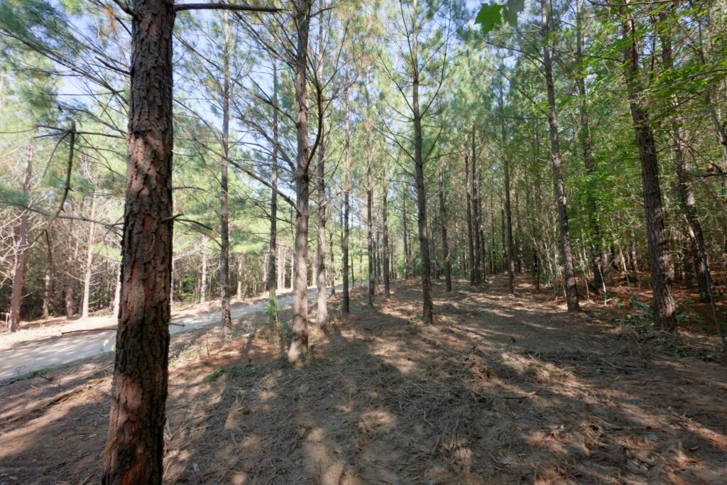
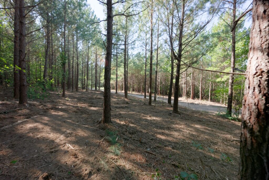
Lot 17 Pictures
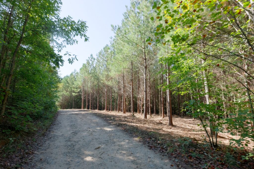
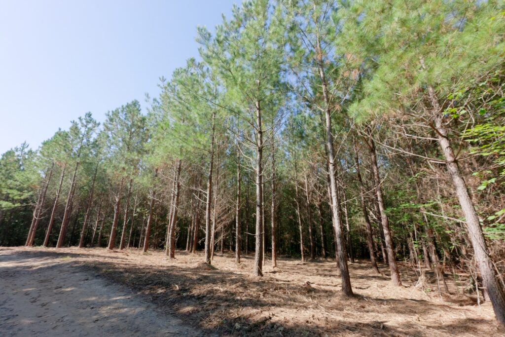
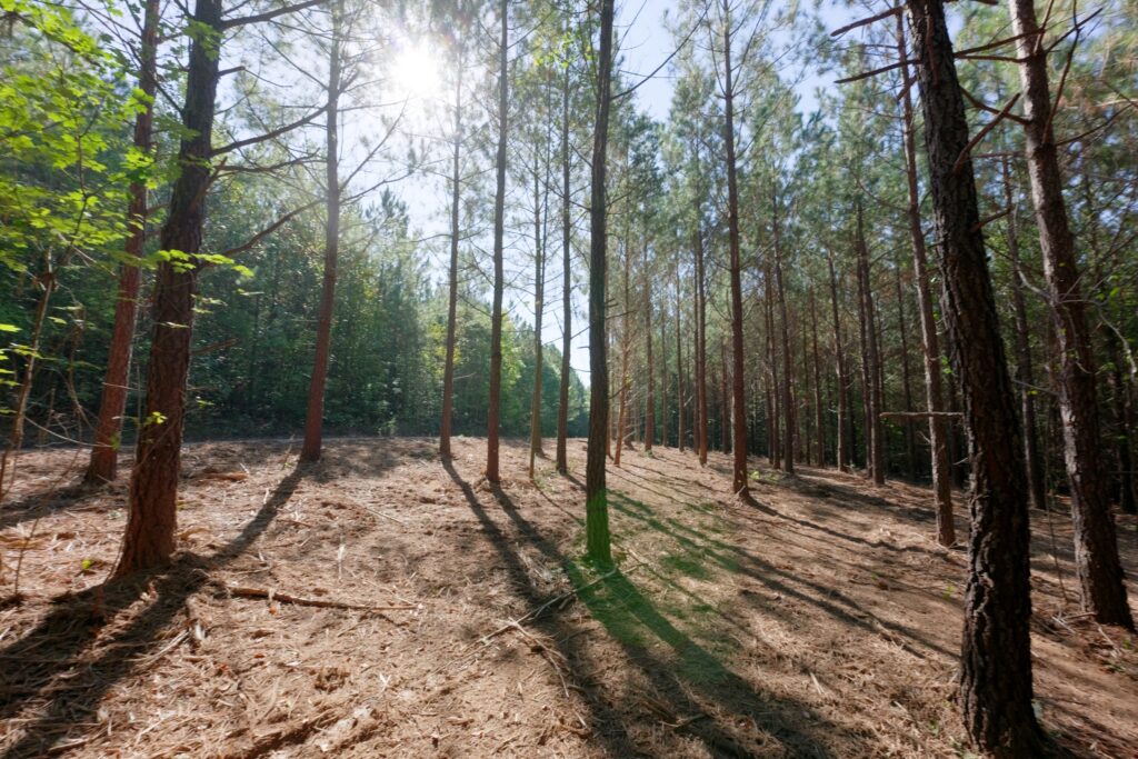
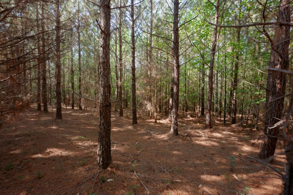
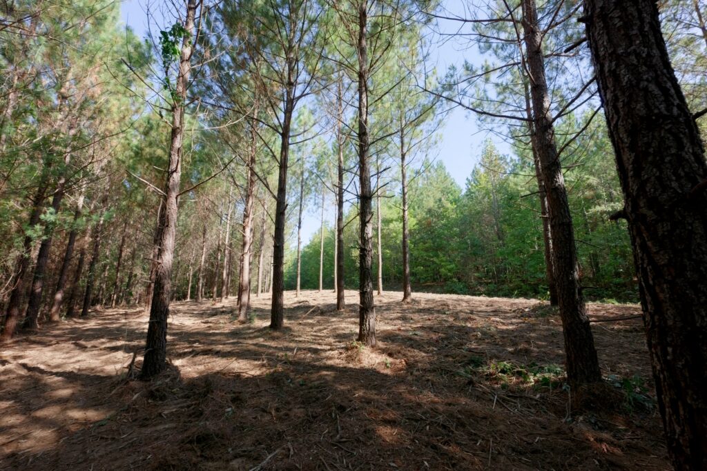
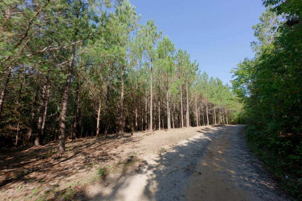
Lot 18 Pictures

Contact
JOHN SHIPLEY
336-497-0749 (office)
info@theshipleyco.com
DISCLAIMER:
Information taken from reliable sources and thought to be correct. Potential buyers should perform their own due diligence and verify all information.
18 lots 127 acres Burke County, NC