

Description
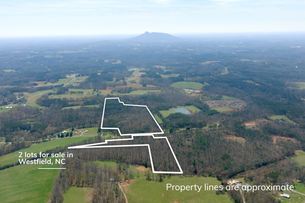
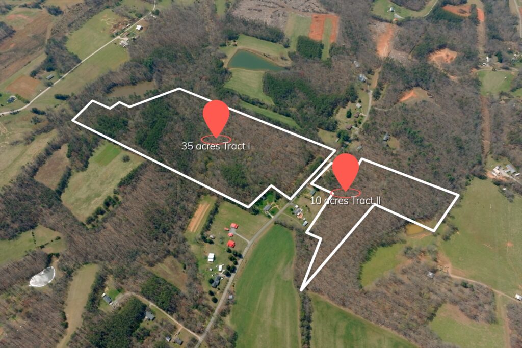
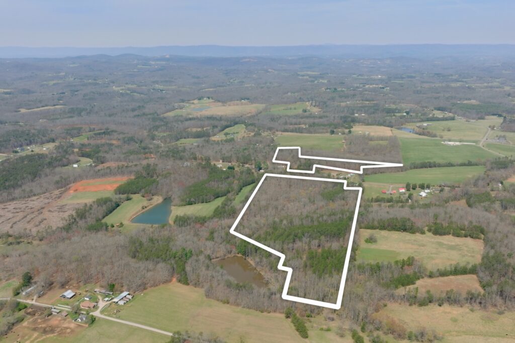
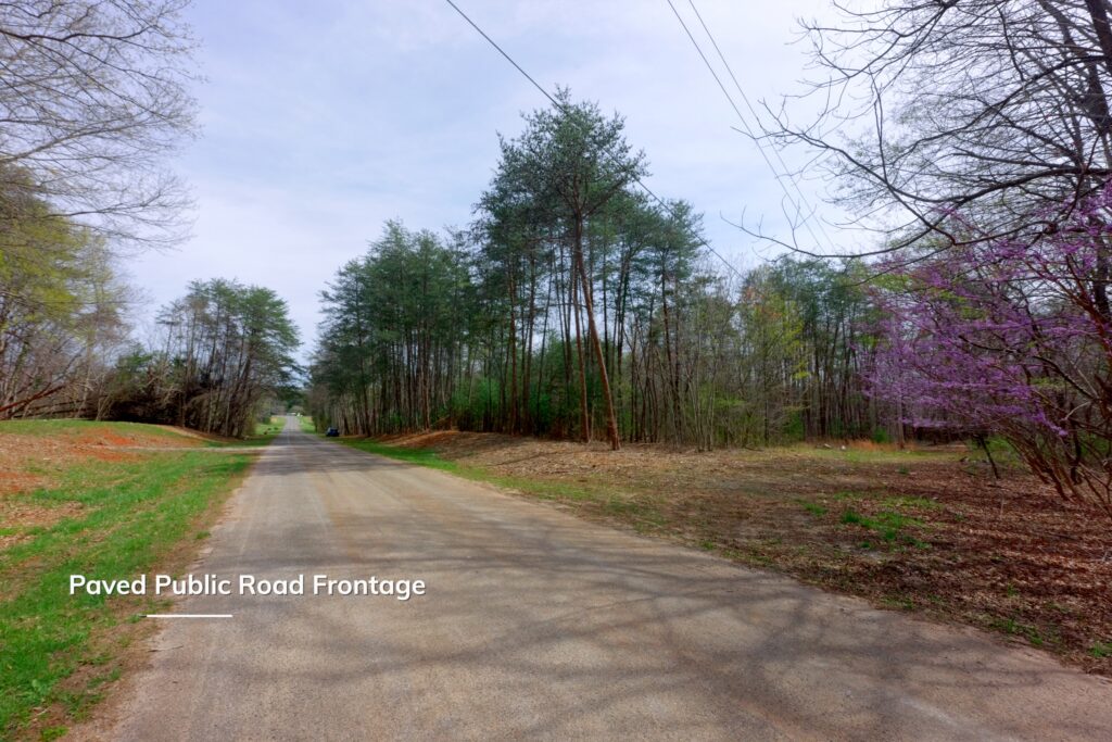
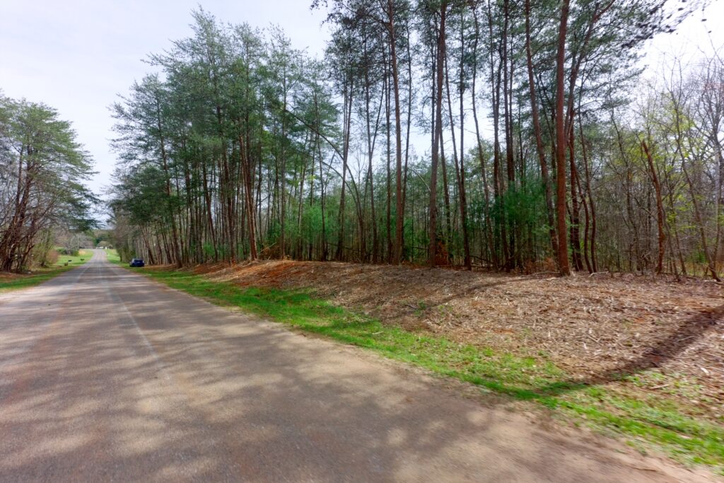
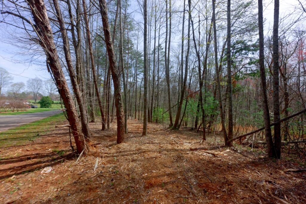
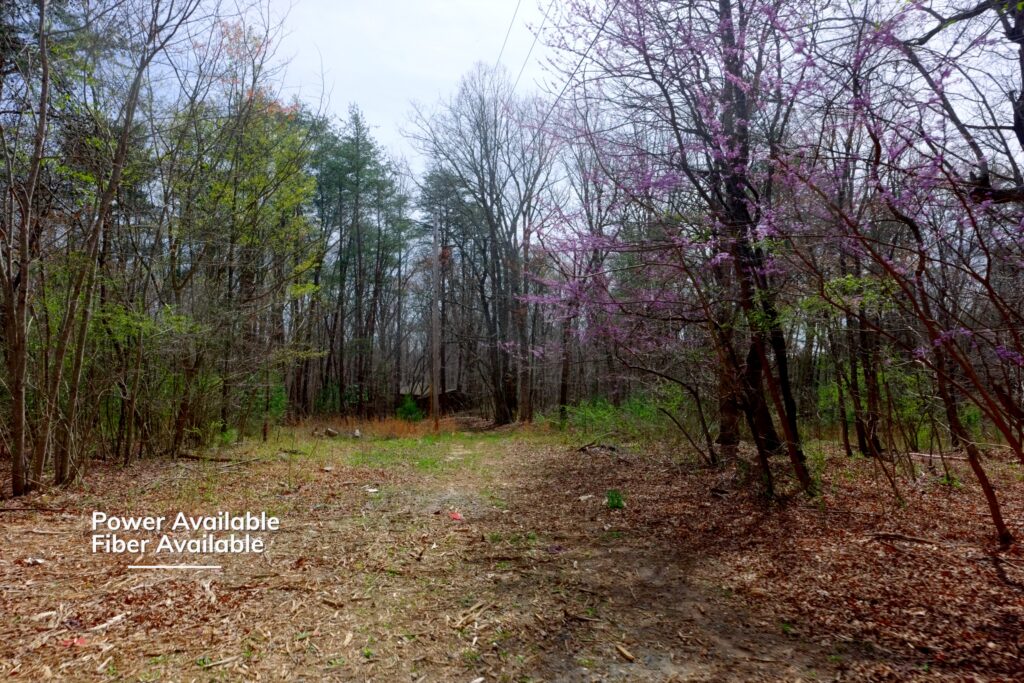
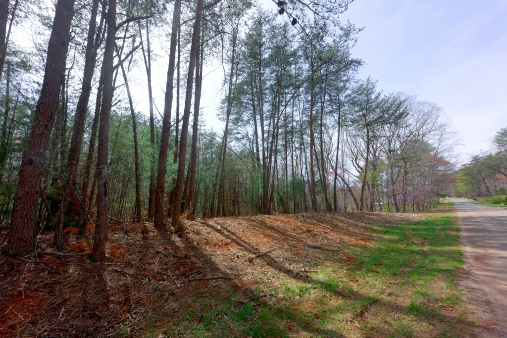
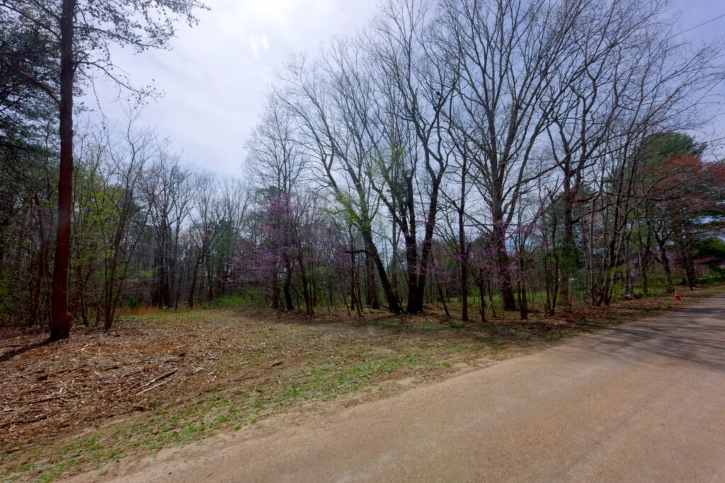
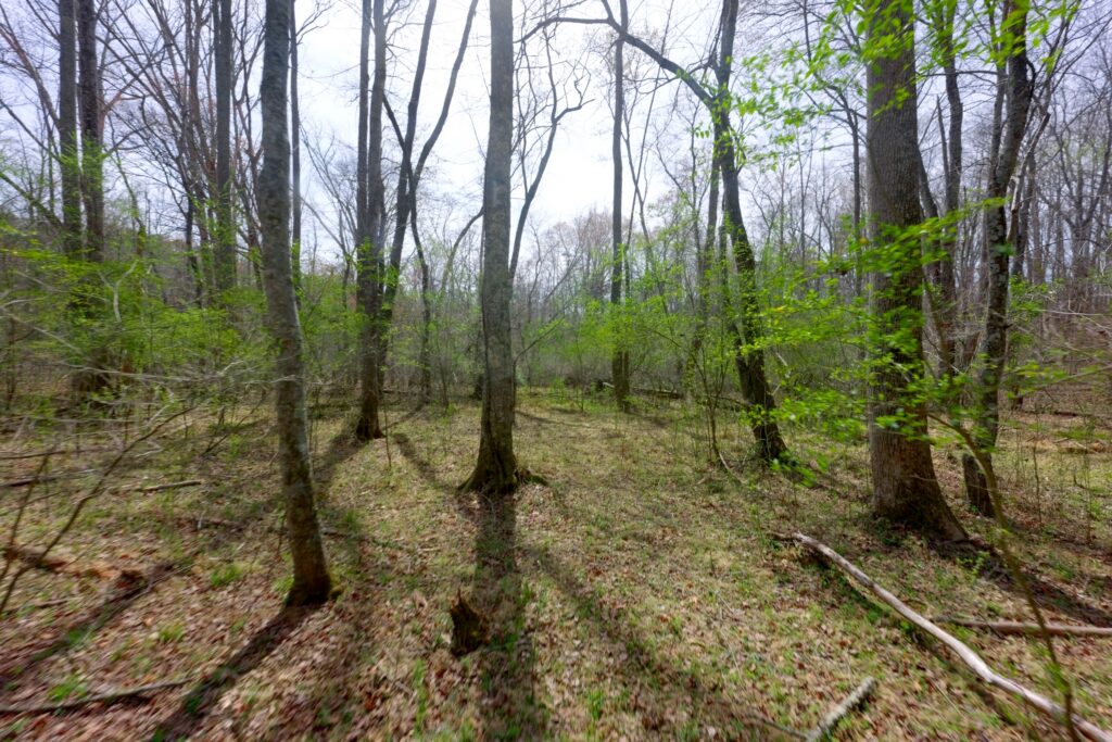
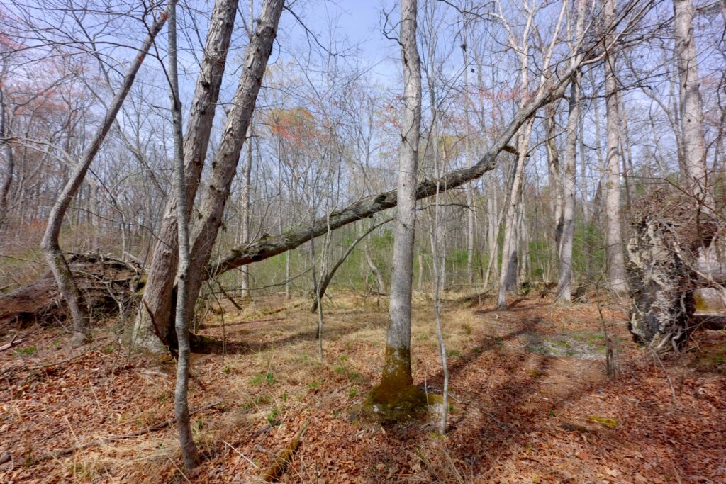
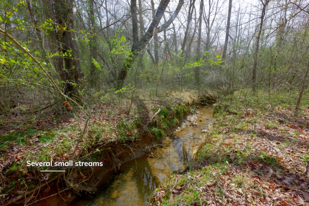
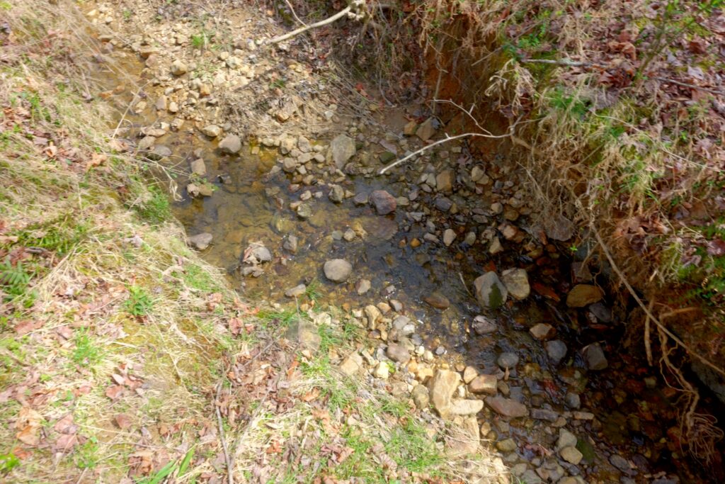
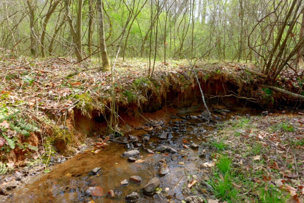
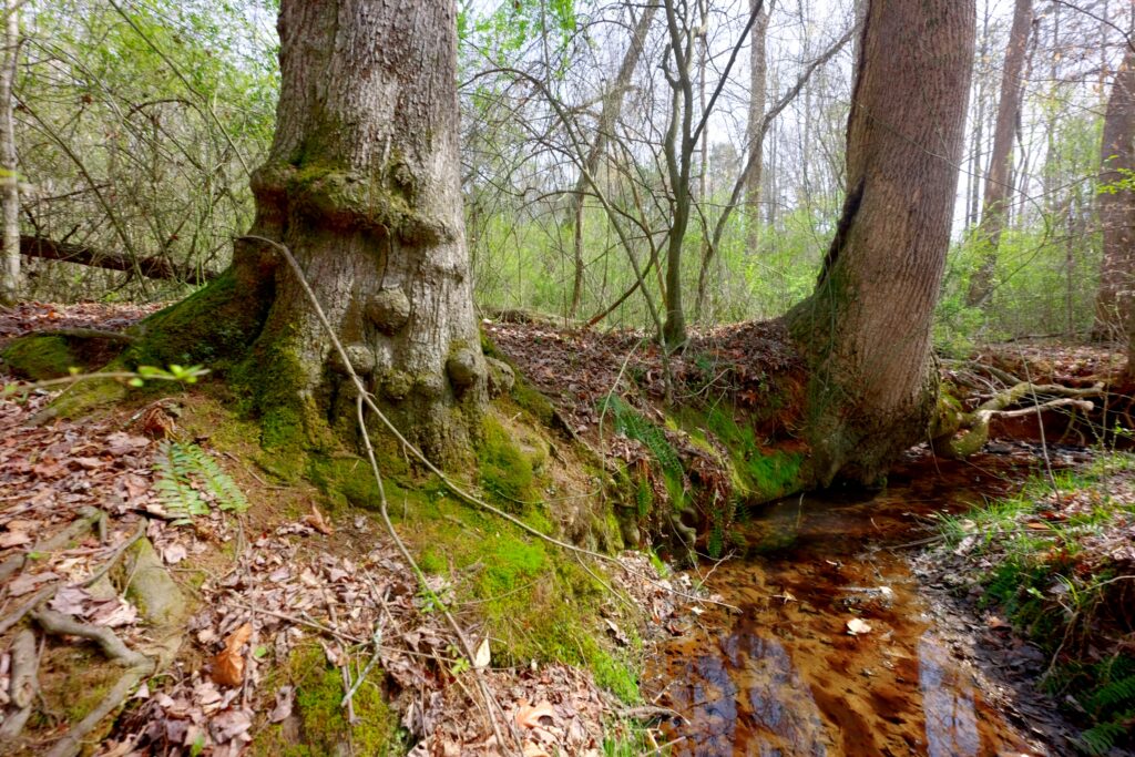
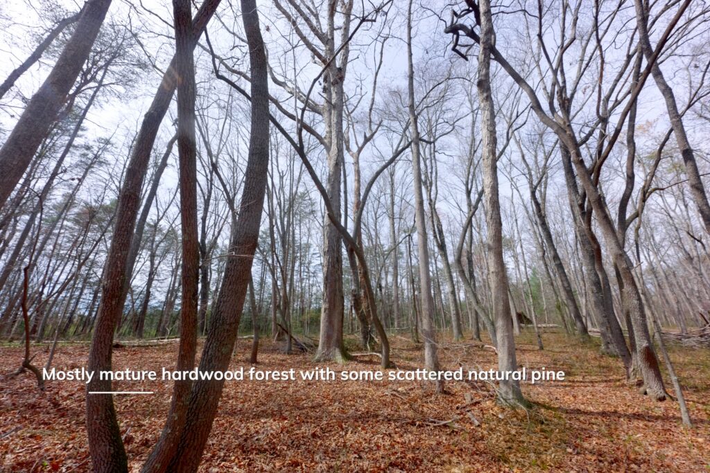
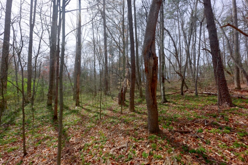
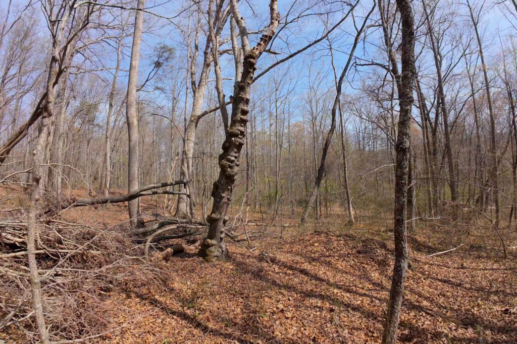
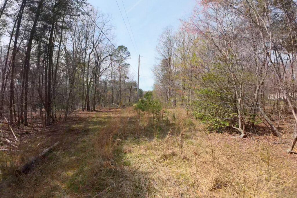
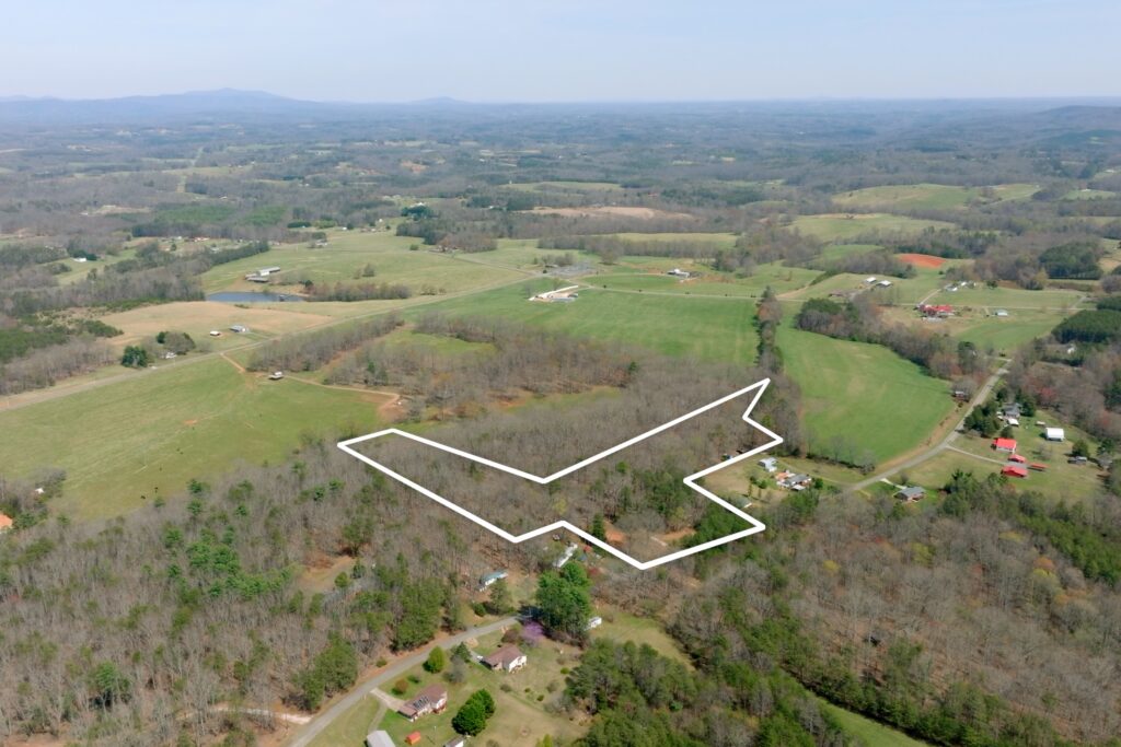
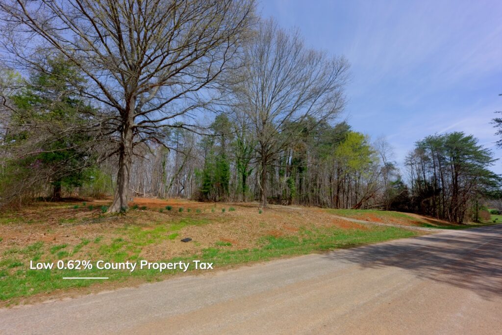
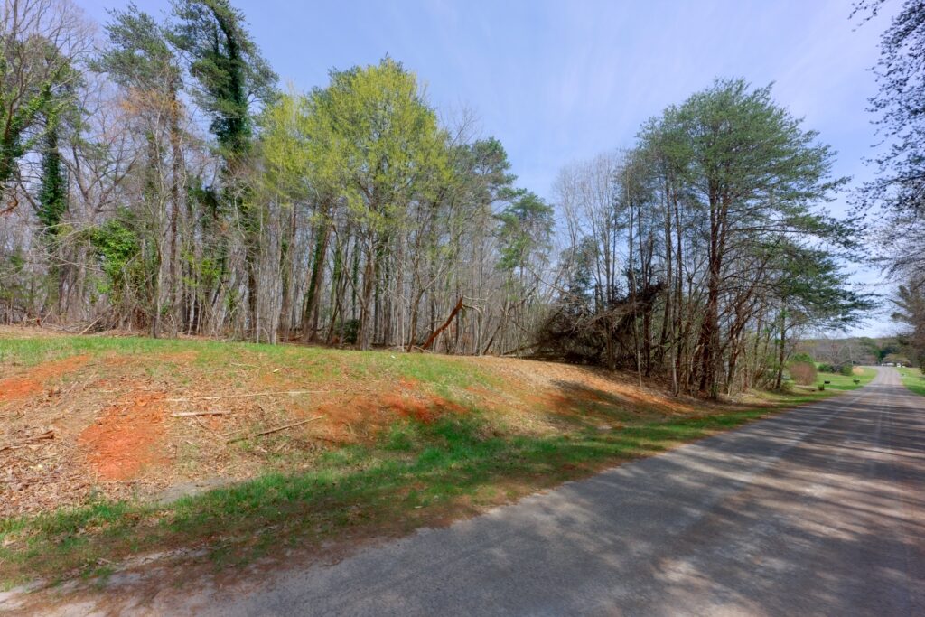
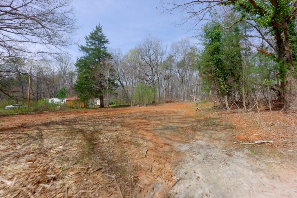
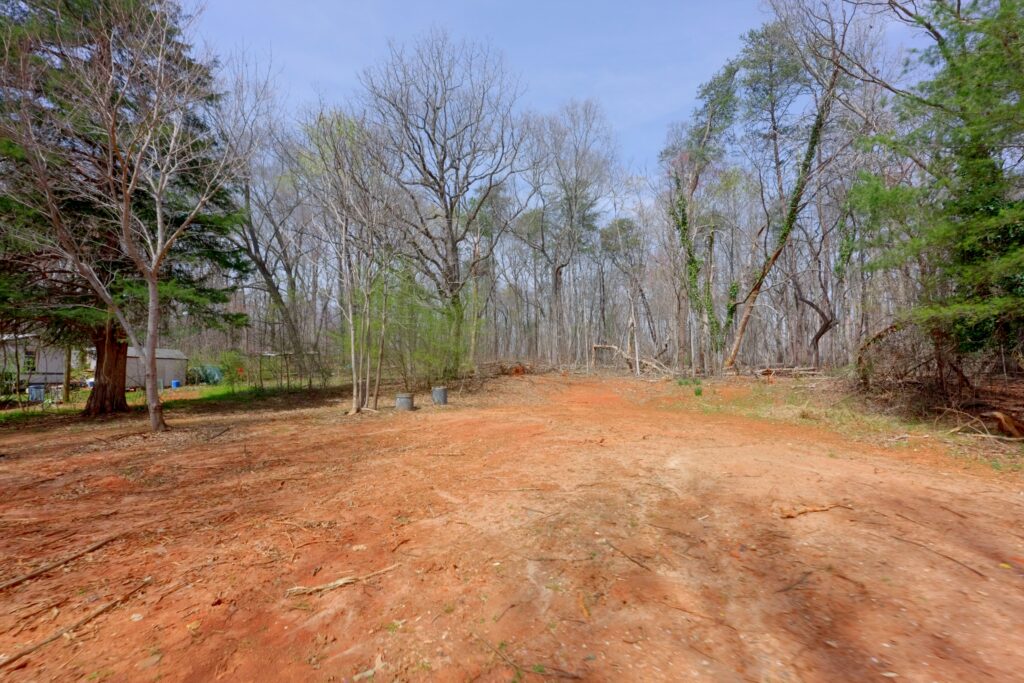
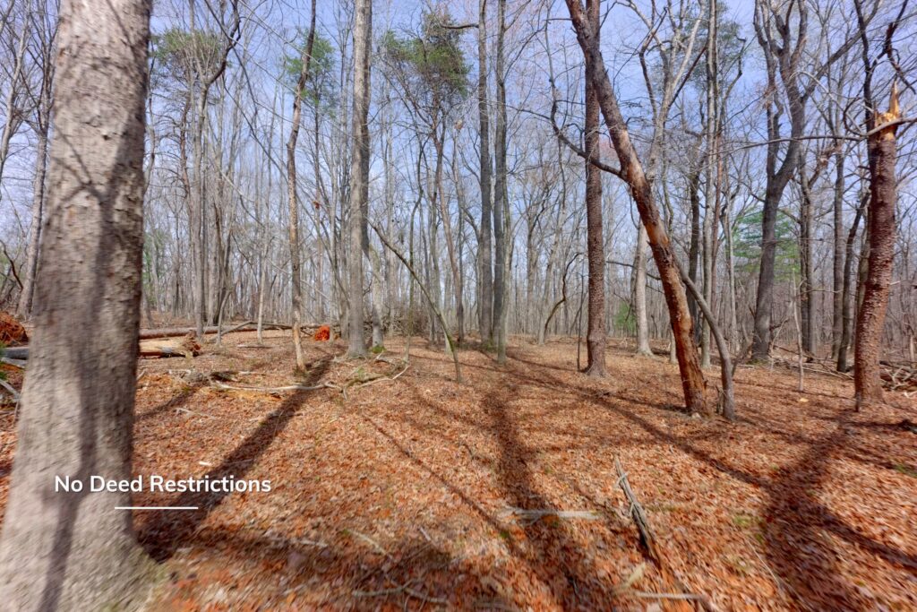
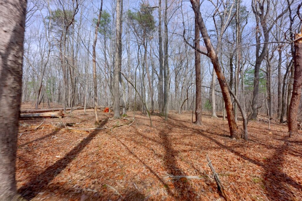
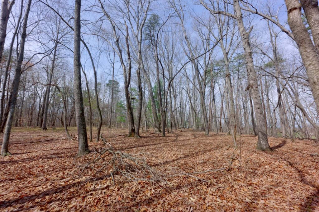
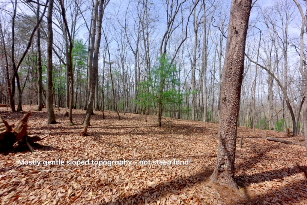
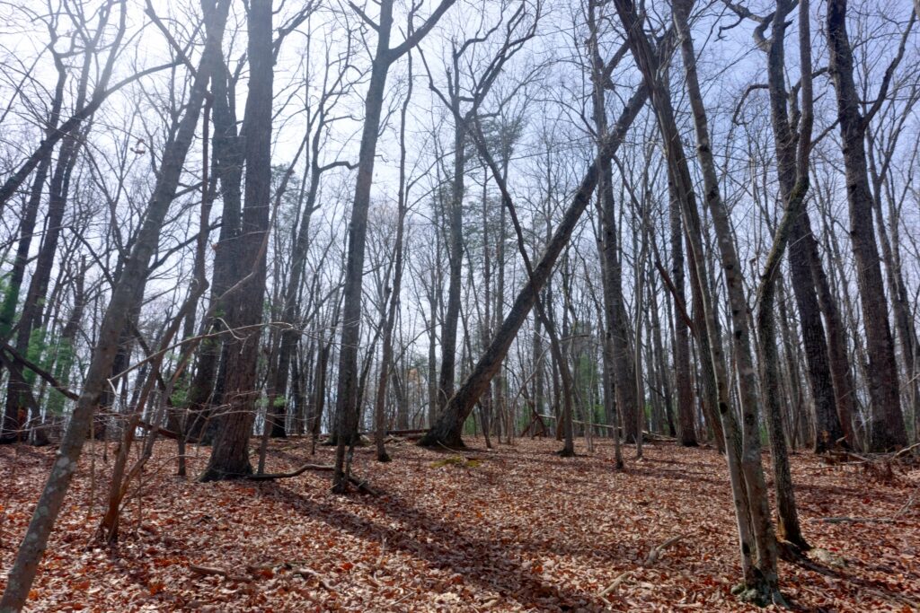
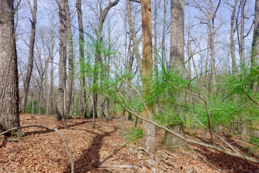
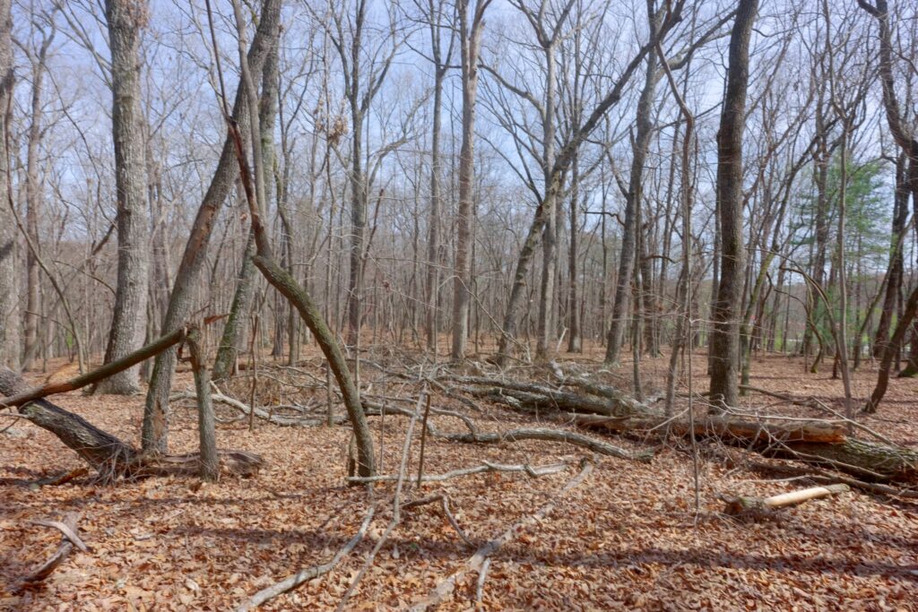
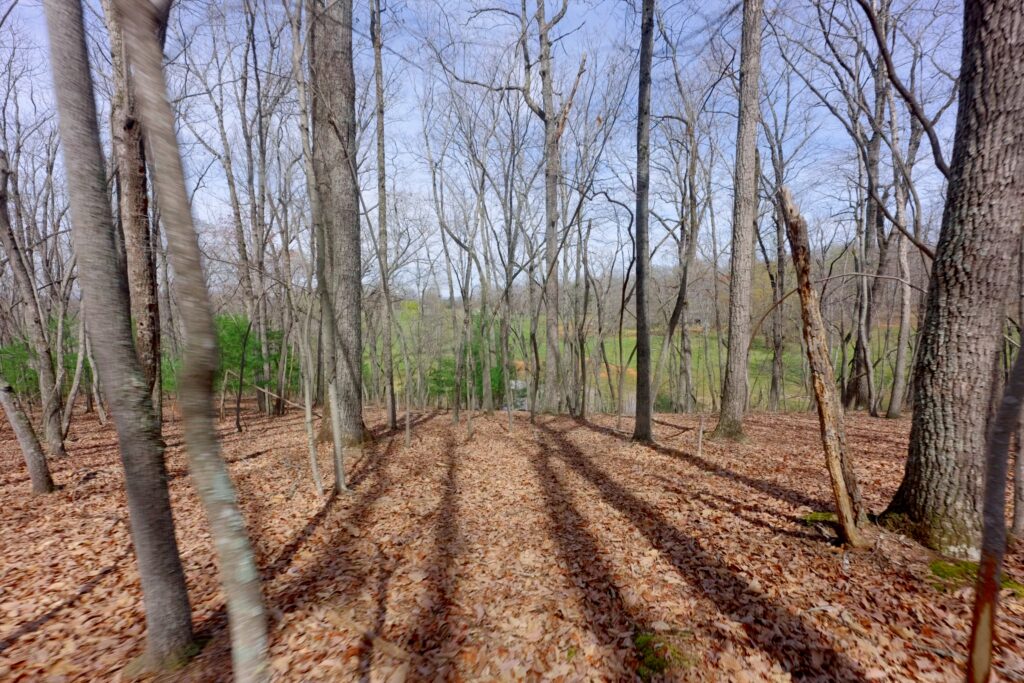
Two separate tracts totaling 45 acres are available in Surry County, offering gently sloping topography that is uncommon in this county. Tract I is 10 acres and Tract II is 35 acres; both have paved public road frontage, power and fiber available, mature hardwood forest with scattered natural pine, several small streams, and border a small pond. Portions of both tracts contain timber of significant value.
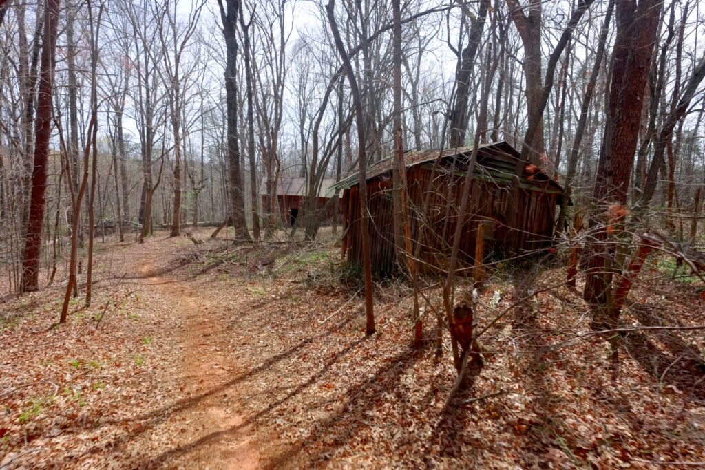
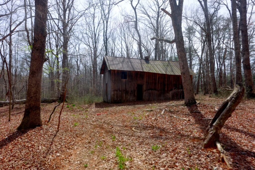
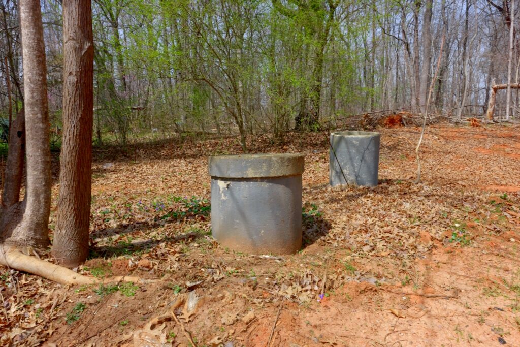
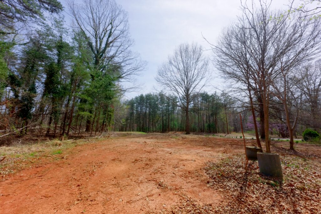
Tract I includes historic barns on the property. Tract II includes a former home site where the house has been removed; a well and septic system may still be present and usable.
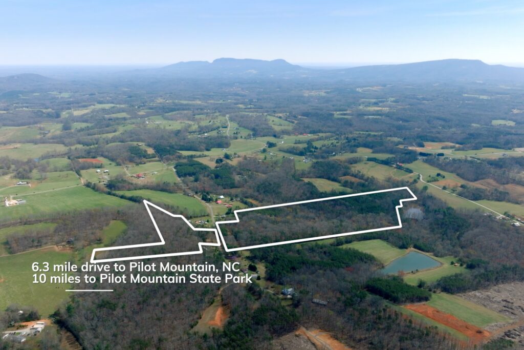
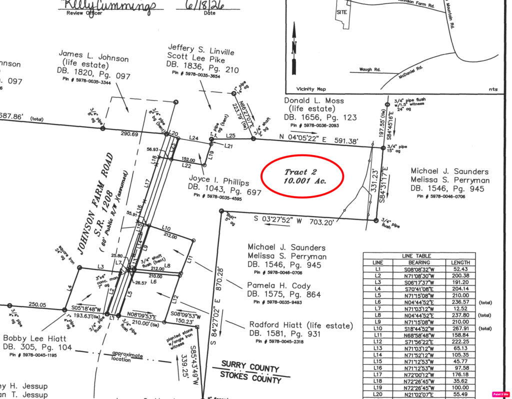
Both tracts have no deed restrictions and low county 0.62% property tax rate. A new survey was completed in 2026. The property is located 6.3 miles from Pilot Mountain, NC, 10 miles from Pilot Mountain State Park, 12 miles from Hanging Rock State Park, and about 35 minutes from Winston-Salem, NC.
Property Video
(play full screen for best quality)
Uses
Single Family Residential, Farm, Timber Production, Recreation
Parcel Information & Price
County has not assigned new Parcel PIN #’s yet – Each lot is a portion of Tax Parcel PIN # 597800348611
| Lot # | Size (acres) | Price | Status |
| 1 | 35 | $299,000 | Available |
| 2 | 10 | $99,000 | Closed |
Property Features
- Two separate tracts totaling 45 acres — Tract I (10 acres) and Tract II (35 acres)
- Paved public road frontage on both tracts
- Power and fiber available on both tracts
- Gently sloping topography, uncommon for this part of Surry County
- Mature hardwood forest with scattered natural pine; some areas of significant timber value
- Several small streams on both tracts
- Each tract borders a small pond
- Tract I includes historic barns
- Tract II includes a former home site (house removed); well and septic may still be present and usable
- No deed restrictions
- Low County property tax rate 0.62%
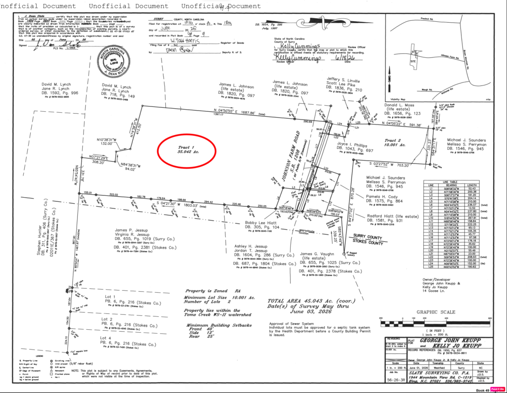
- New survey completed in 2026
- Rural setting
Distances
- 6.3 miles to Pilot Mountain, NC
- 10 miles to Pilot Mountain State Park
- 12 miles to Hanging Rock State Park
- 35 minutes to Winston-Salem, NC
Property Maps & Attachments (click to access)
- Aerial Map with Contours
- Topography Map
- Location Map
- Google Map
- Survey Plat Map
- MOG
- Form 142
- Form 220
Directions & Coordinates
From Brown Mountain Road take Johnson Farm Road 0.5 miles, and tracts 1 and 2 will be on the left and right hand side of road. Use the interactive map (link above) from your smartphone in order to navigate the lots. You must download the free Land ID app in order to see where you stand on the map.
Entrance Coordinates 36.449, -80.449
Property Photographs

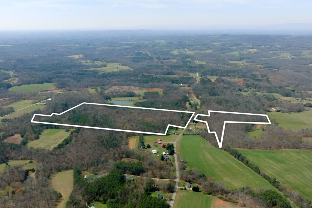
Tract I
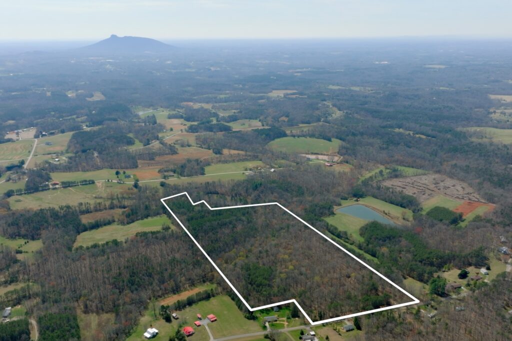
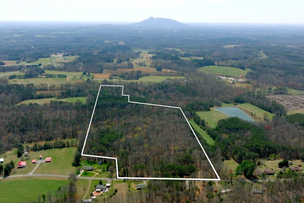
Tract II
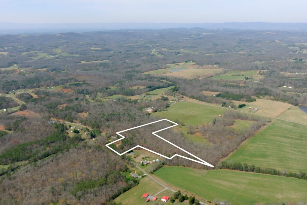
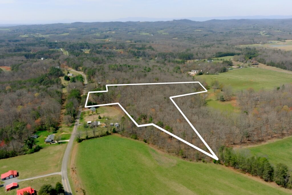


Contact
JOHN SHIPLEY
336-416-6384
John@TheShipleyCo.com
DISCLAIMER:
Information taken from reliable sources and thought to be correct. Potential buyers should perform their own due diligence and verify all information.
2 lots, 10 & 35 acres Surry Co. NC