Description
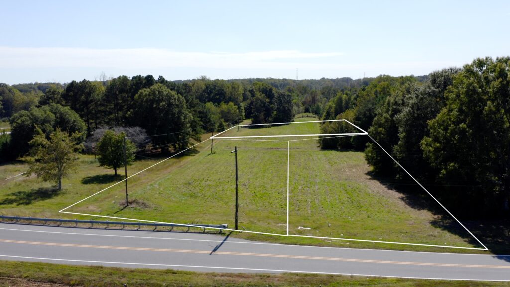
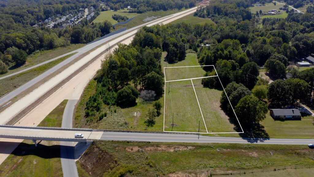
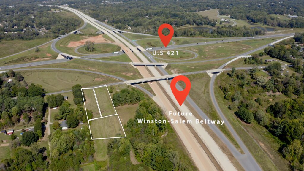
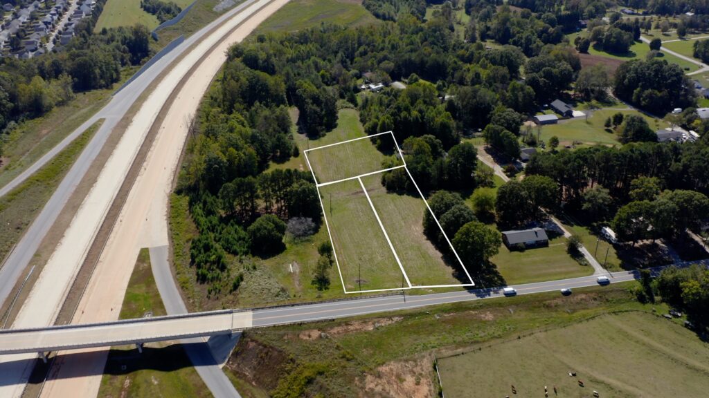
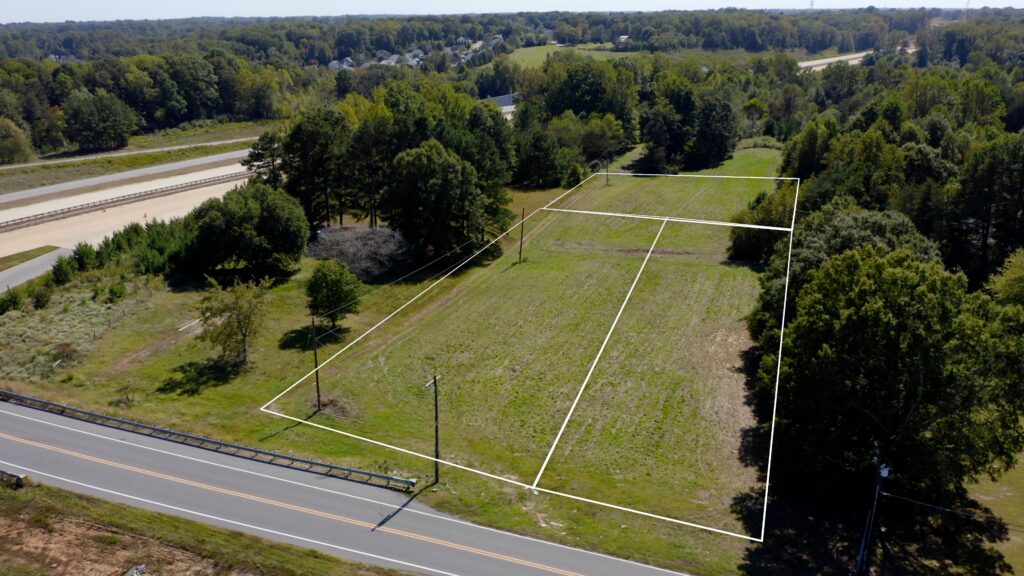
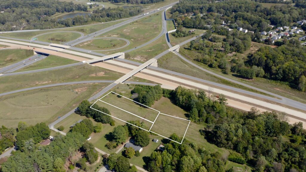
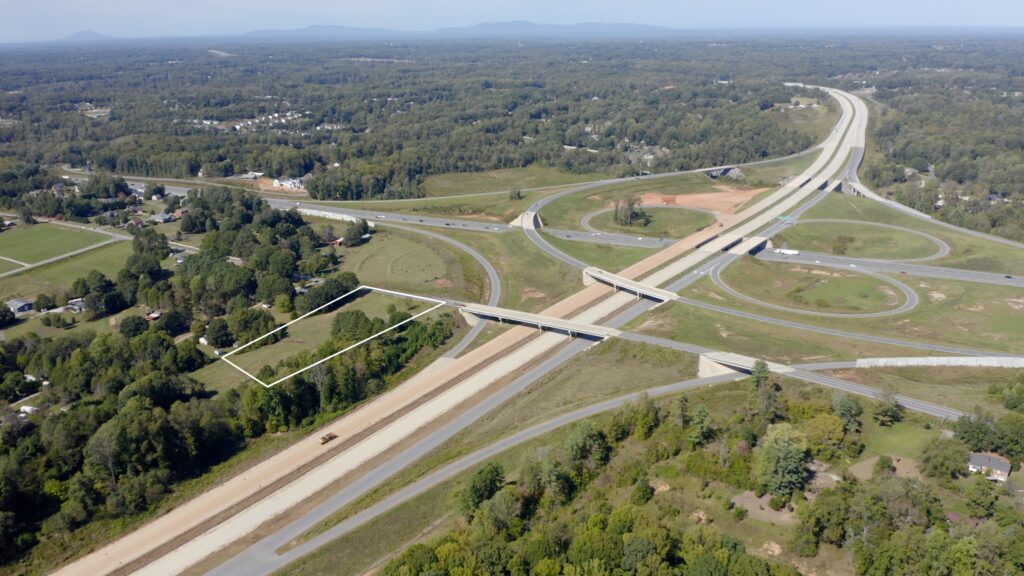
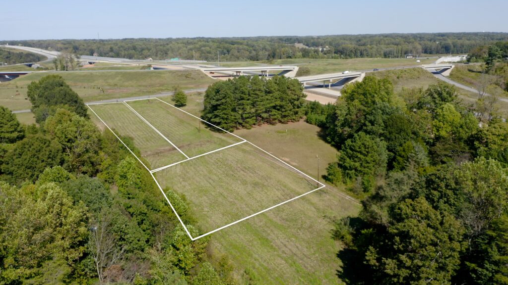
7.5+/- acres being offered for sale as 2 tracts of land that can be bought together or separately. The highest and best use would be single family residential development. The zoning for both tracts is RS-9 which provides for 9,000 sqft residential lots (~ roughly 4.5 lots per acre). This property is located inside of the Salem Lake Watershed.
To qualify for a low density standards, developer would need to comply with 1 of 3 of these provisions for low density standards: 1.) All lots 20,000 sq. ft. or greater., 2.) A density of no more than 2 units per 40,000 sq. ft., or 3.) A total Built-Upon Area (BUA) for the development of no more than 24%. The proposed development would not have to comply with all three of these provisions, but must comply with at least one to be approvable.
Another allowable provision would be up to 30% BUA if the development provided engineered stormwater controls. You could also review the 8.2.5.E Paired-Parcel Averaged-Density Development provision of the ordinance to see if that would be advantageous for your proposed development. To develop above the low density or stormwater management allowable BUA % thresholds mentioned above, the development would have to be approved for Special Intense Development Allocation (SIDA) by the Forsyth County Commissioners. Residential use would not be approved for SIDA, only commercial/industrial would be considered for SIDA since it would provide jobs to the area. In this case, albeit rare, the development could have up to 70% BUA. Please refer to Watershed Protect plan in attachments below
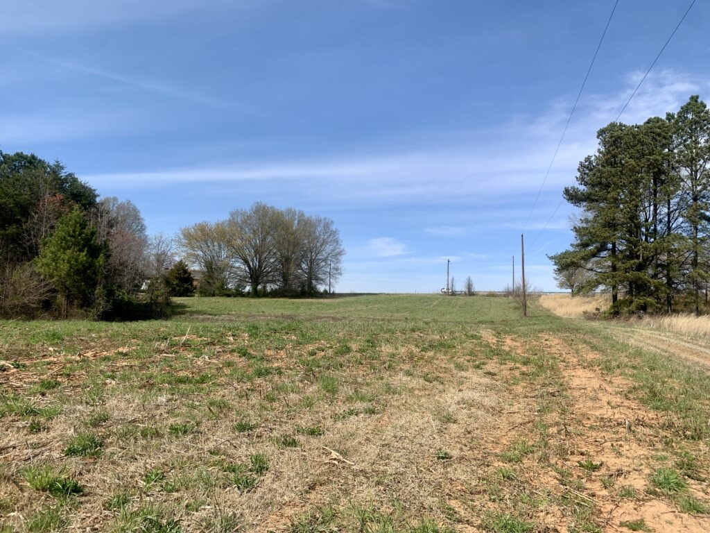
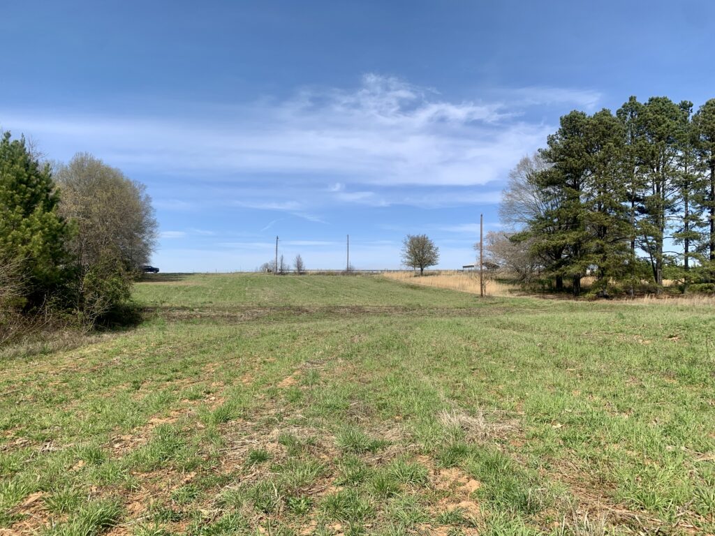
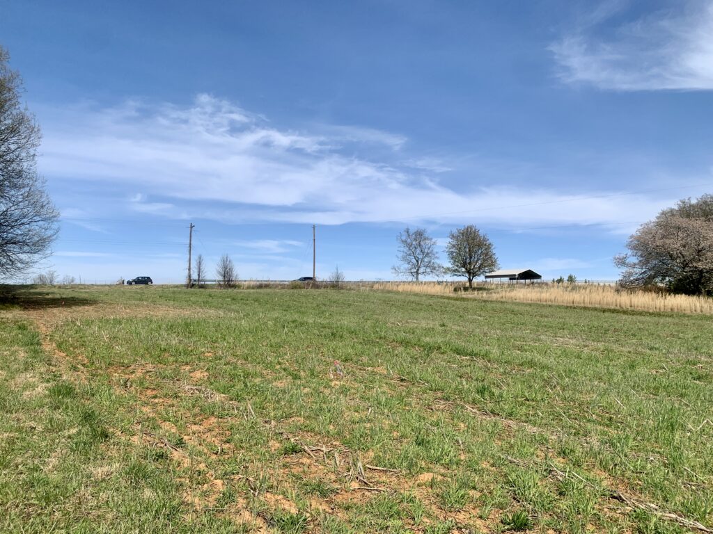
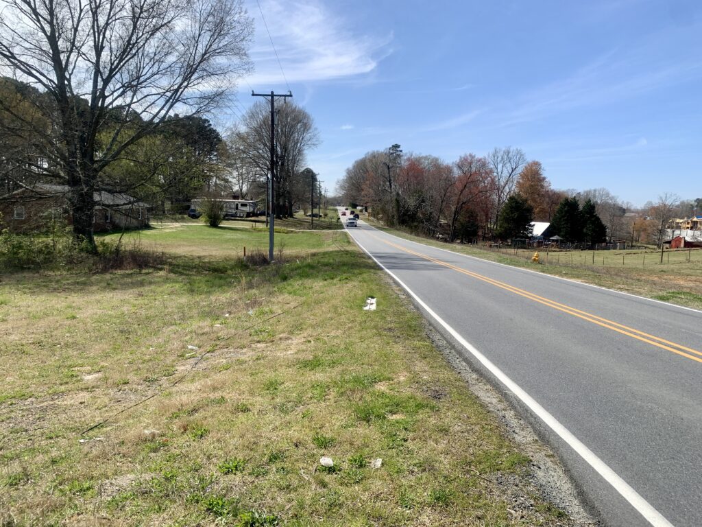
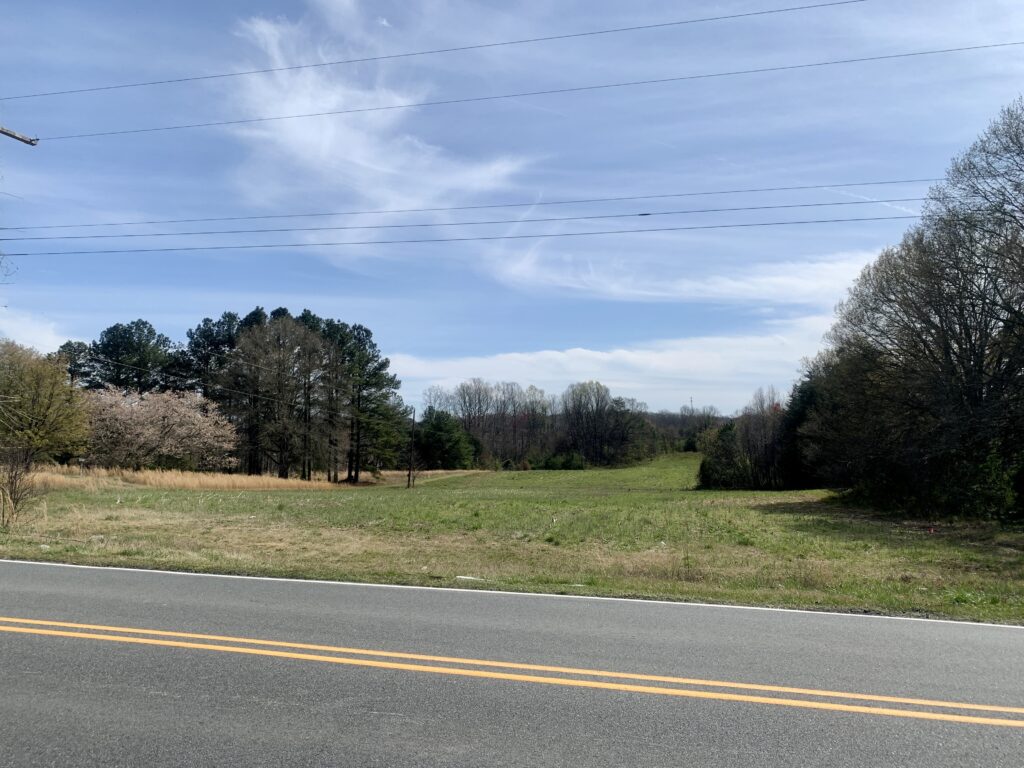
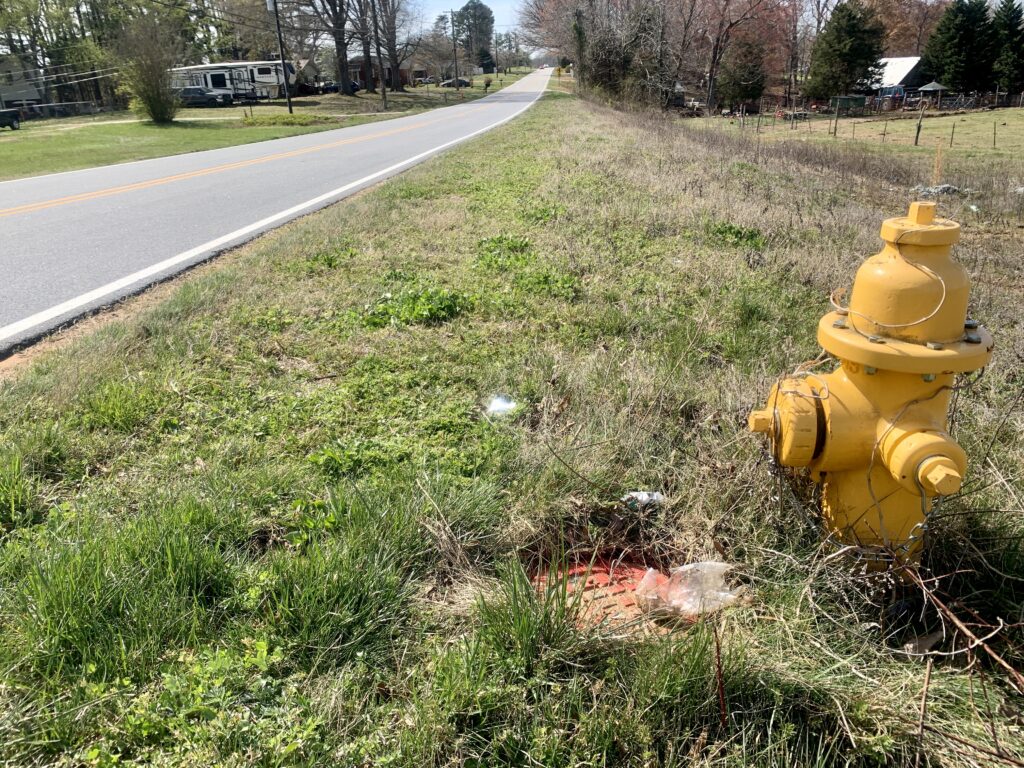
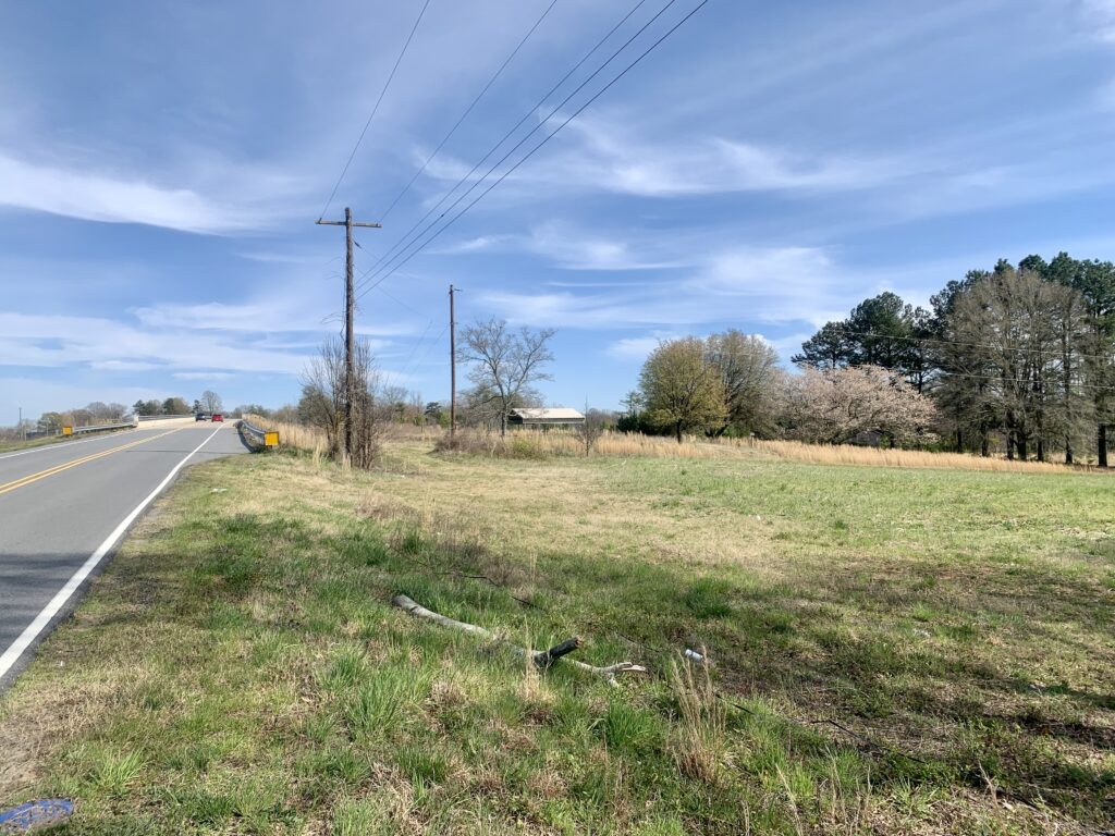
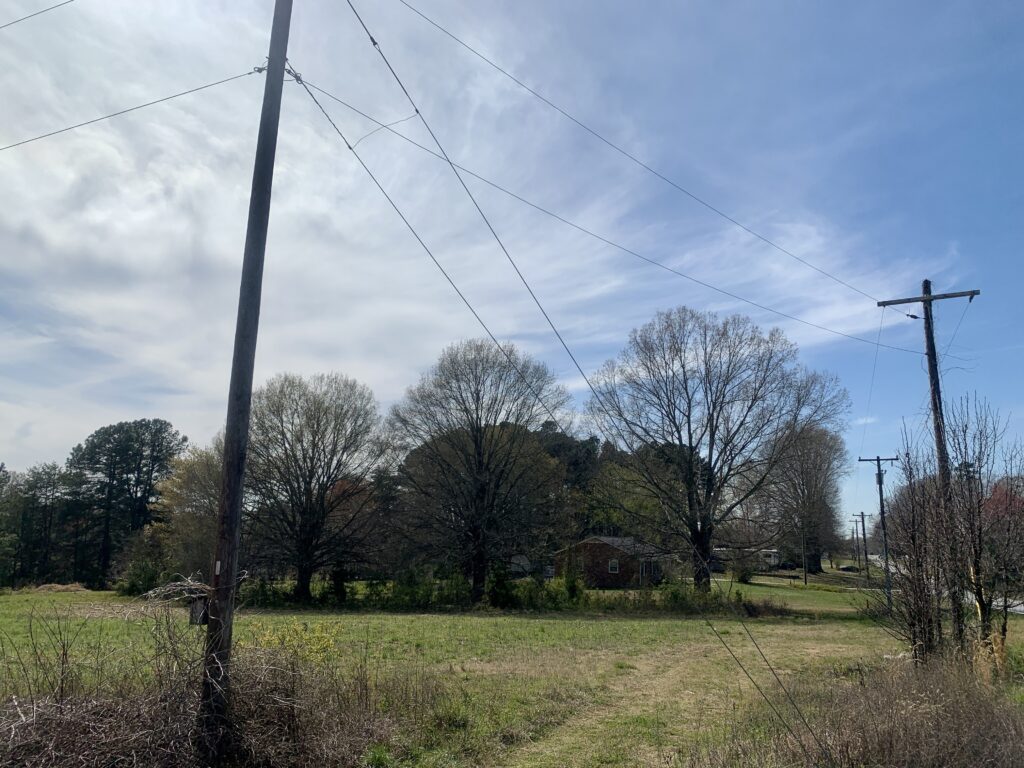
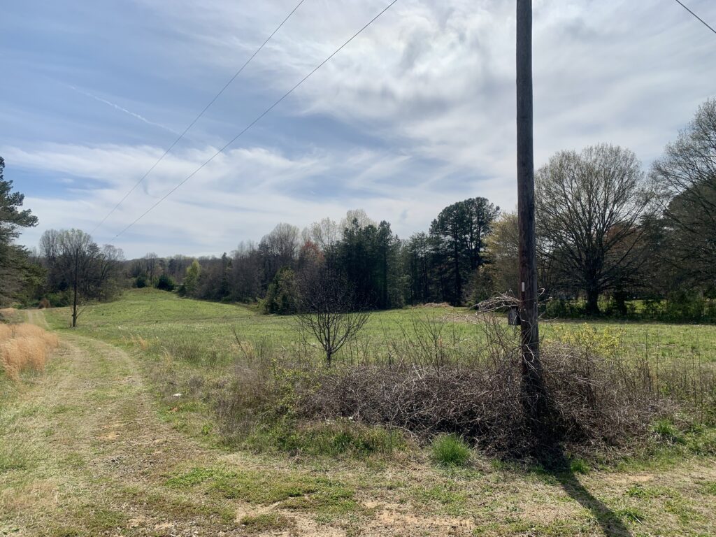
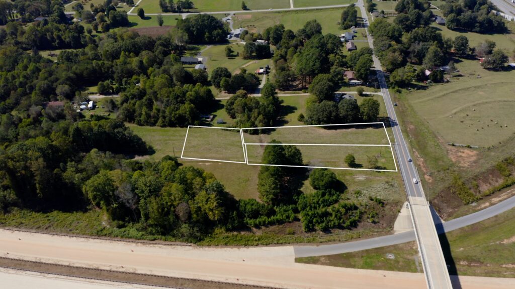
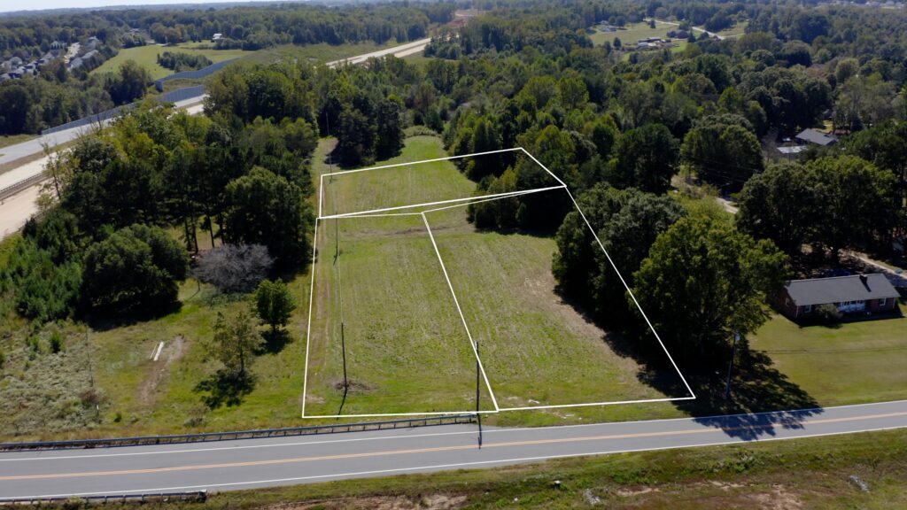
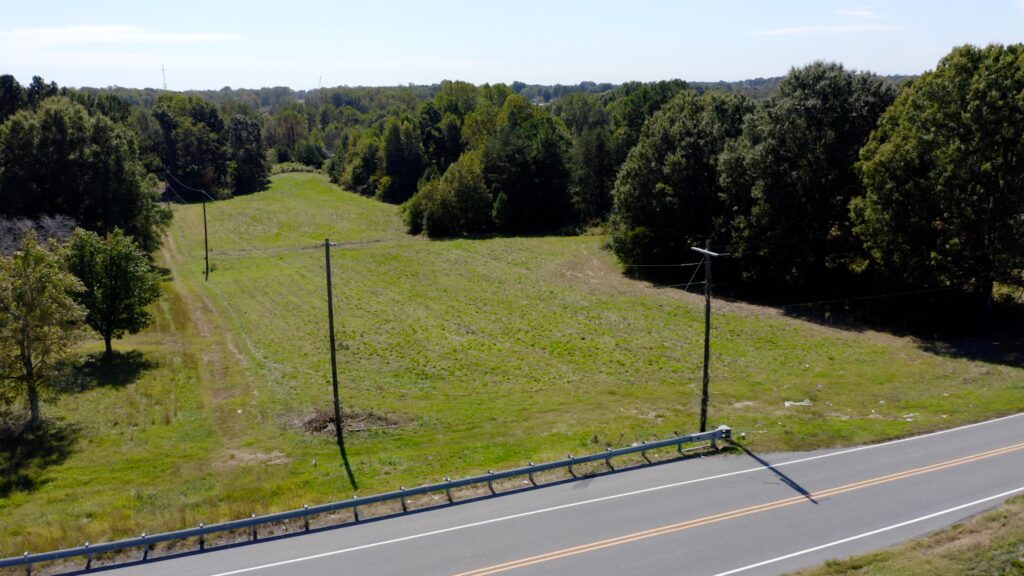
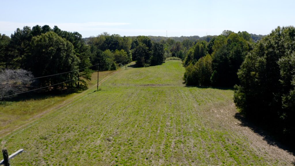
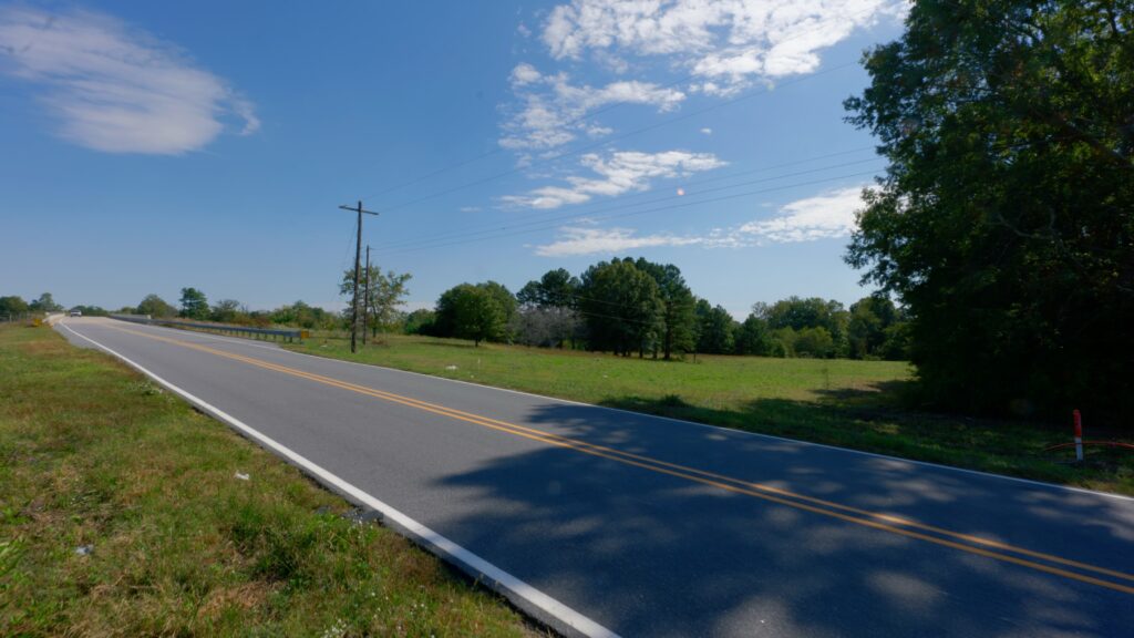
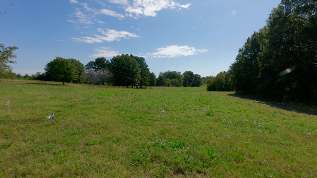
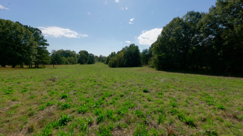
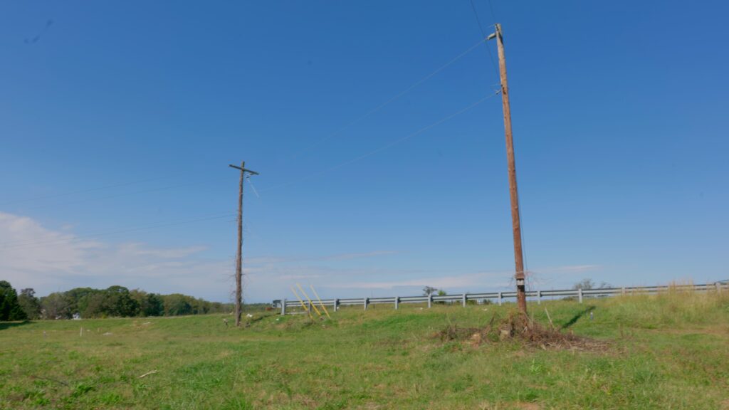
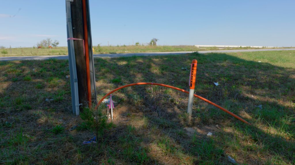
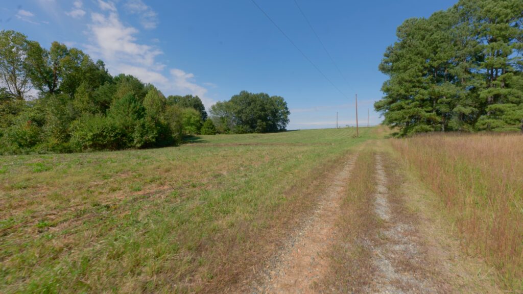
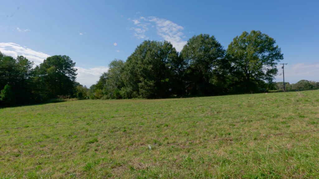
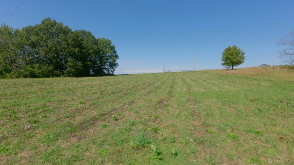
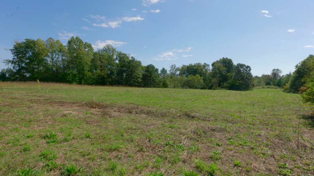
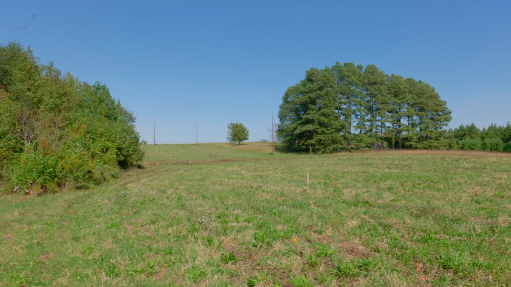
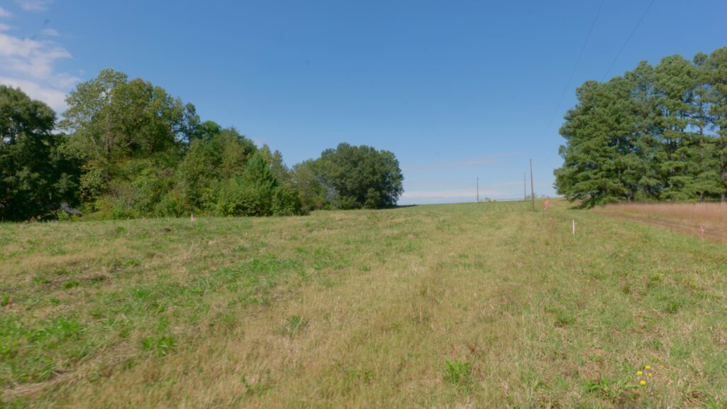
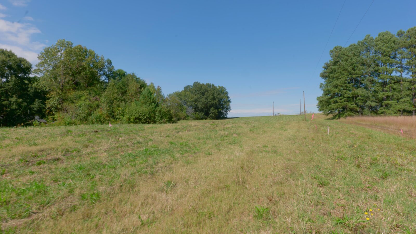
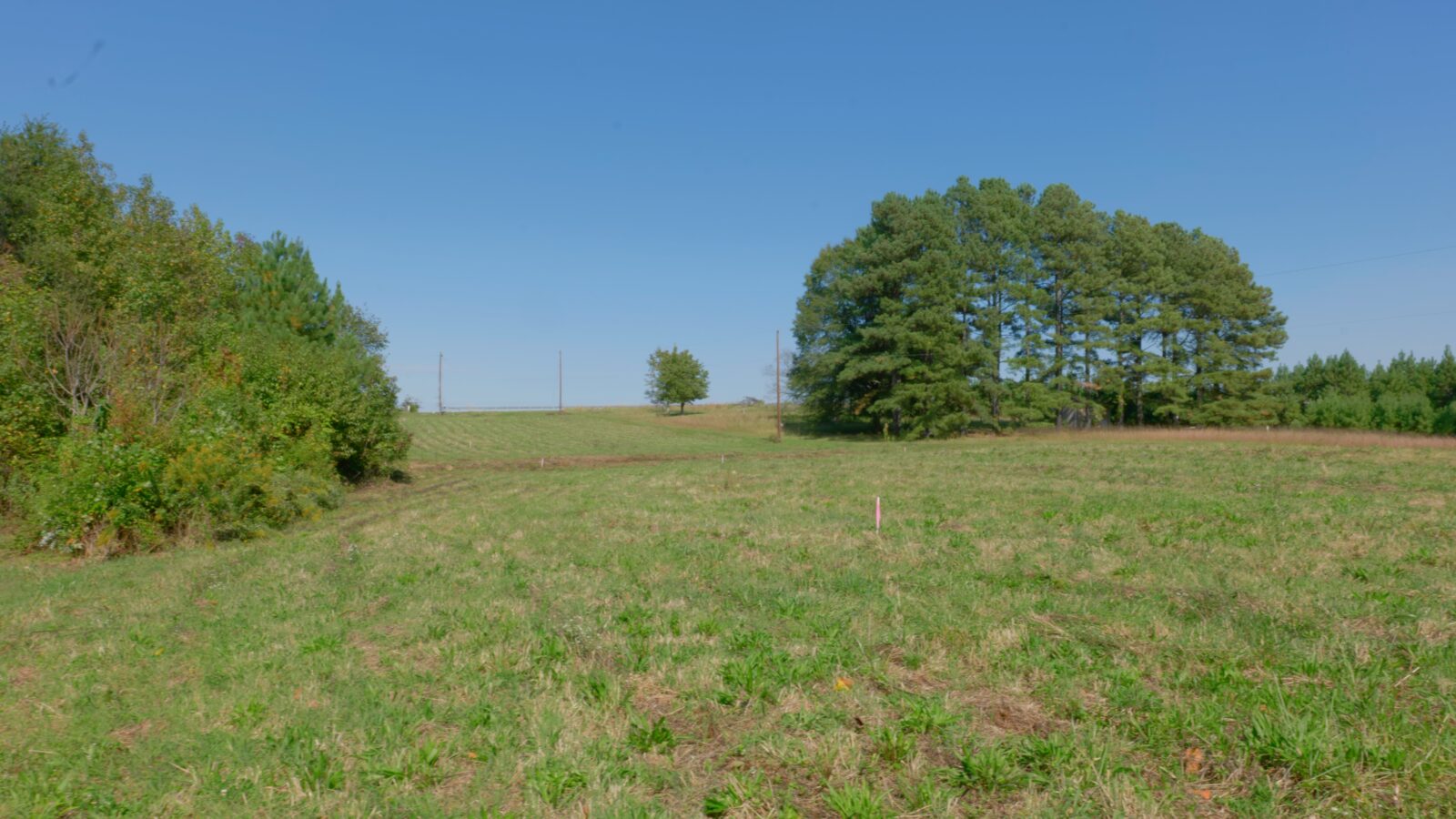
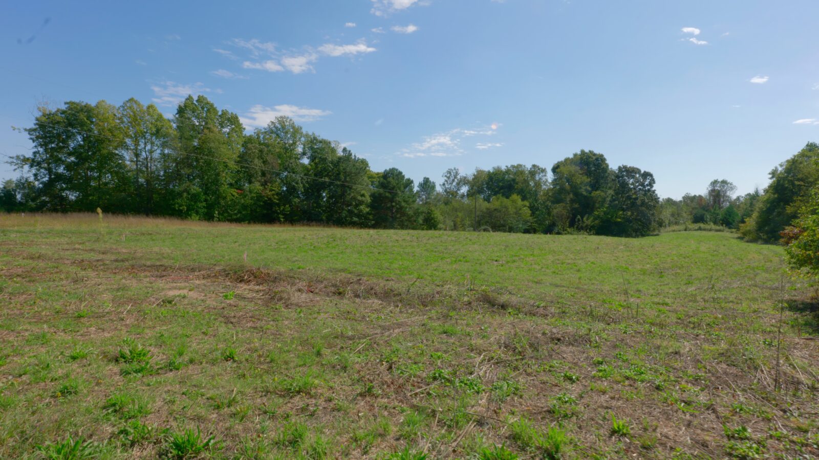
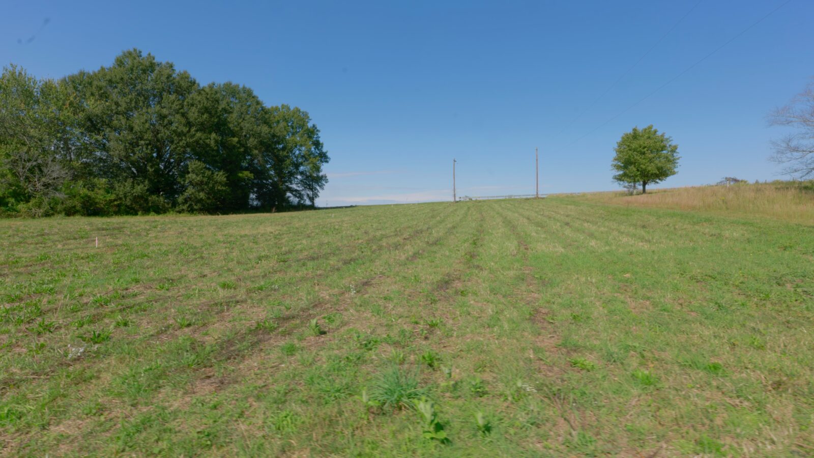
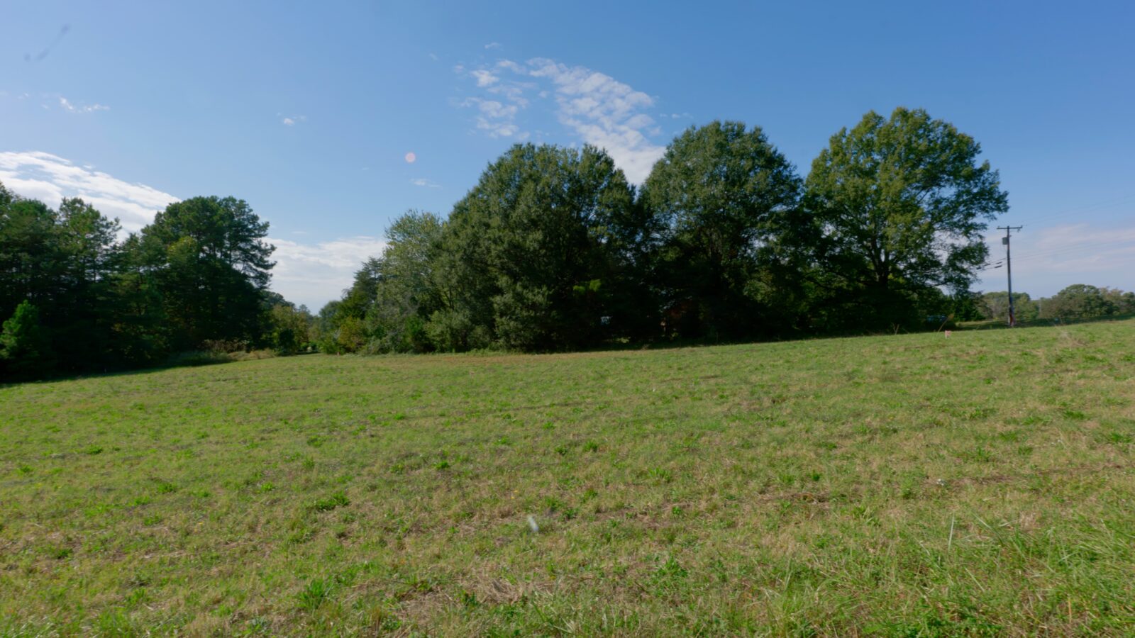
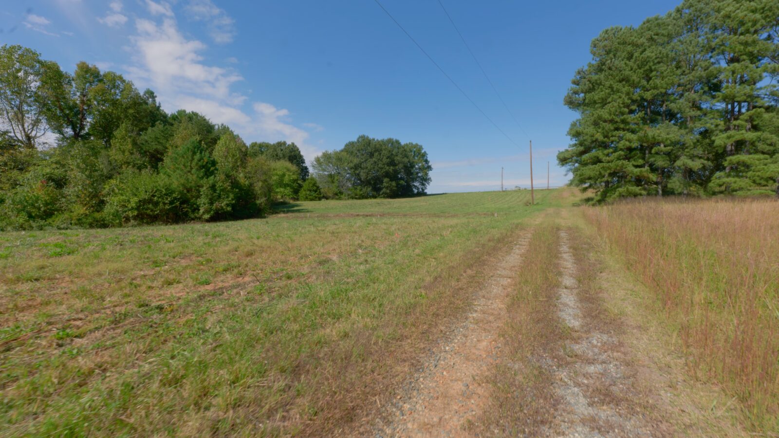
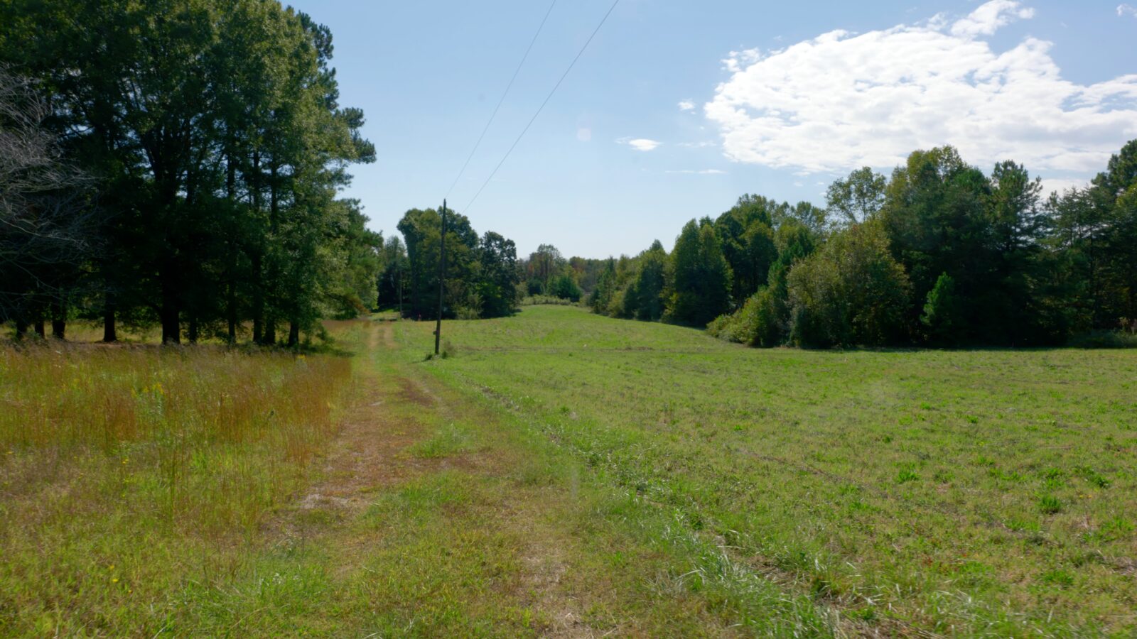
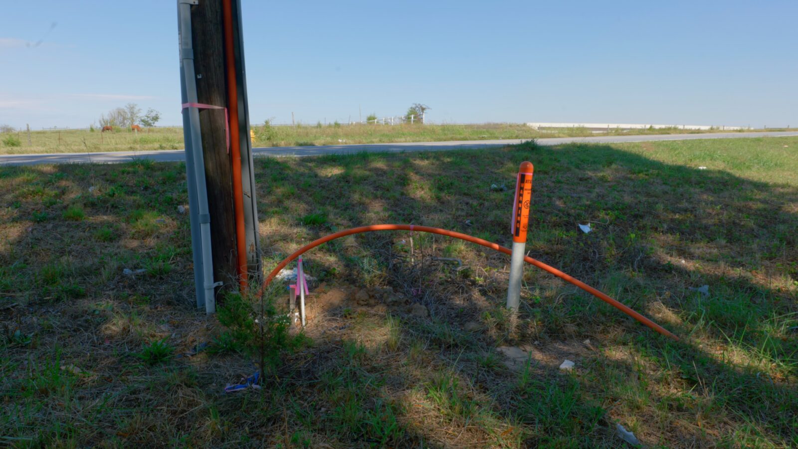
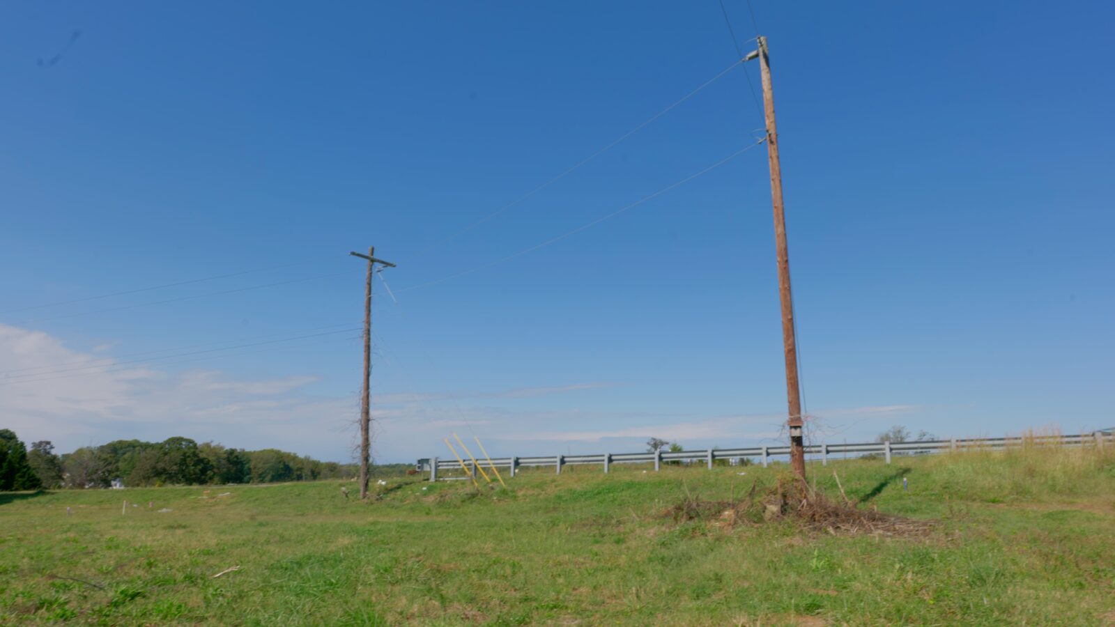
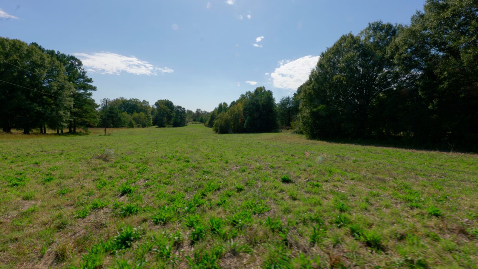
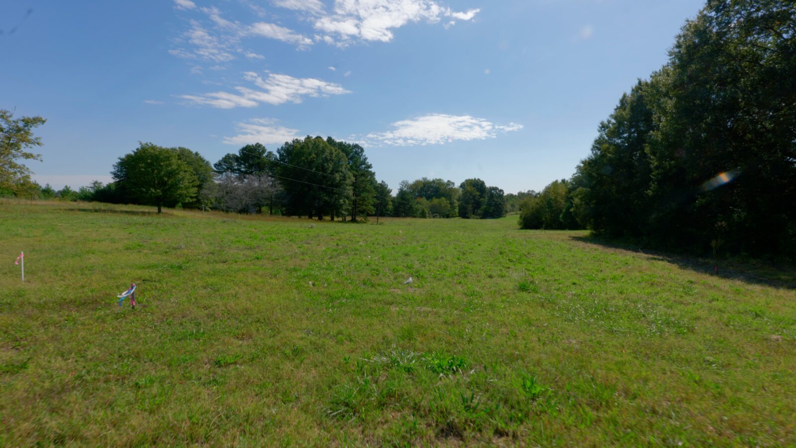
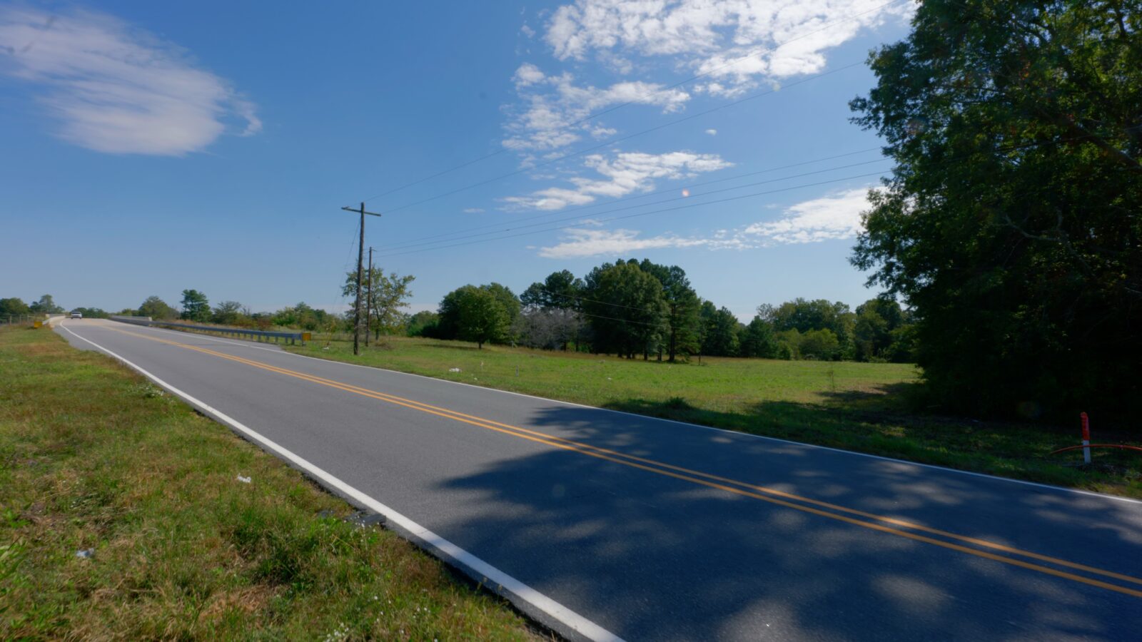
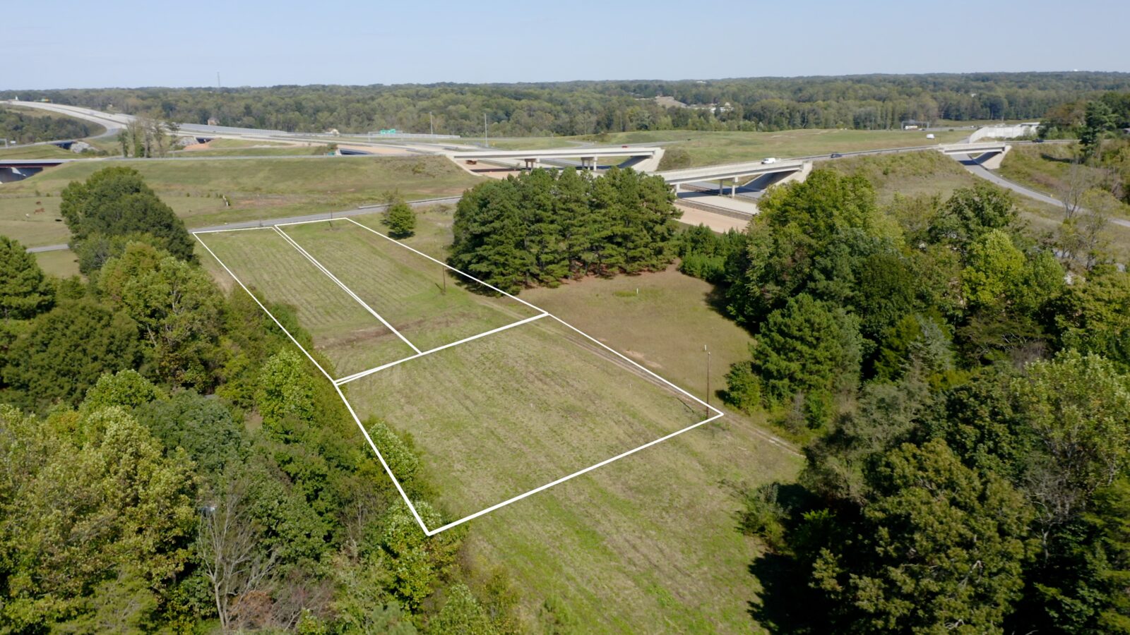
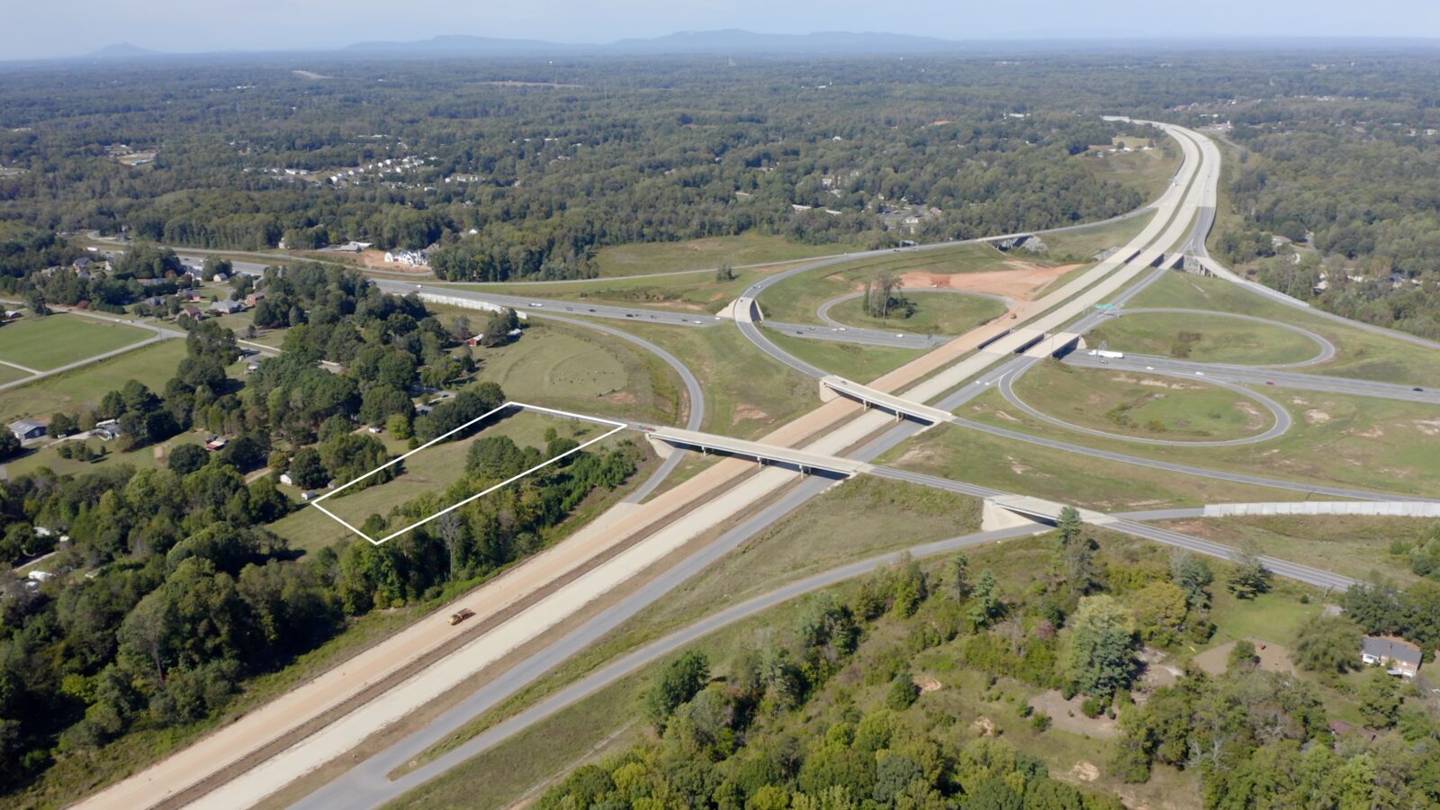
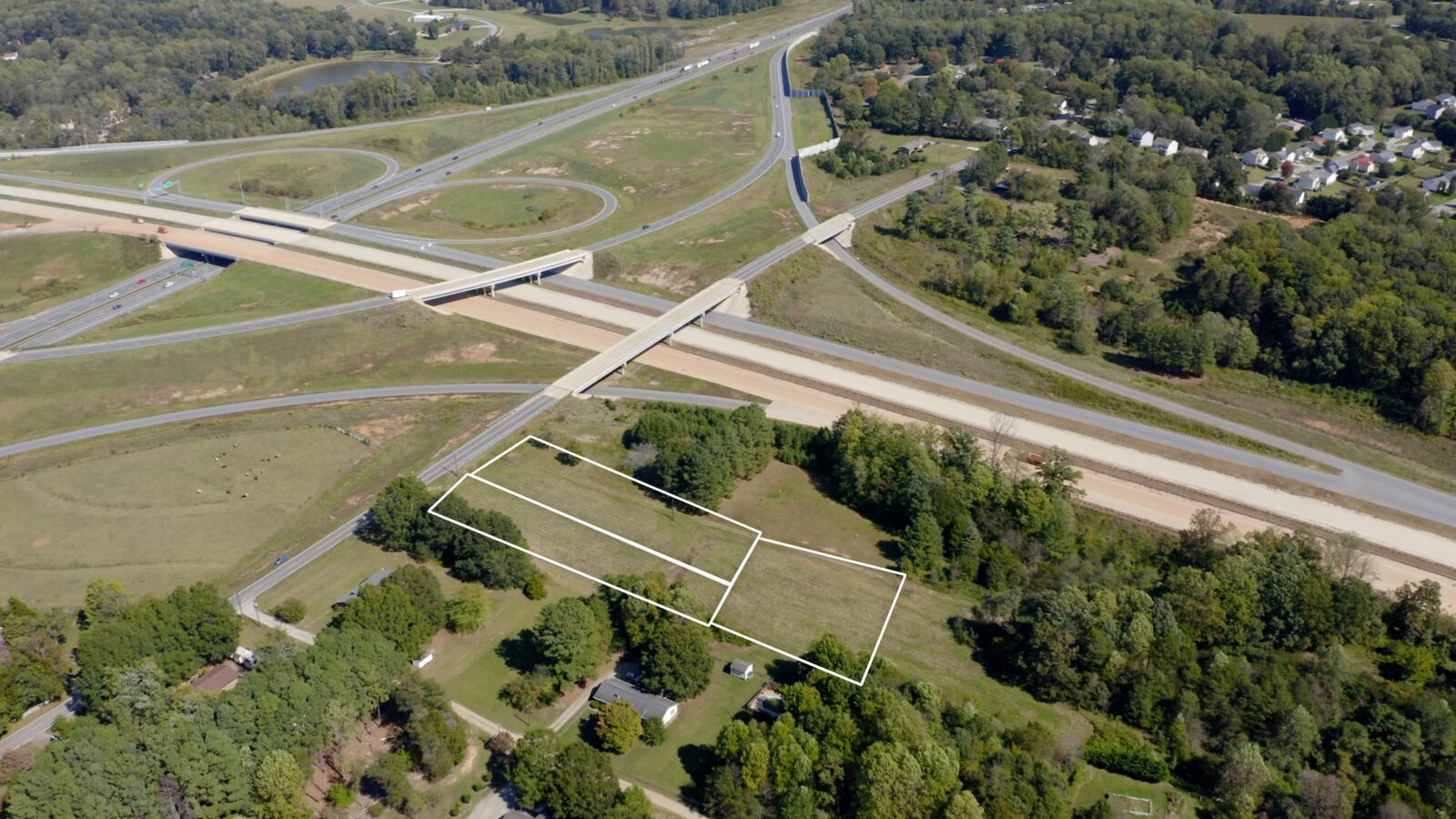
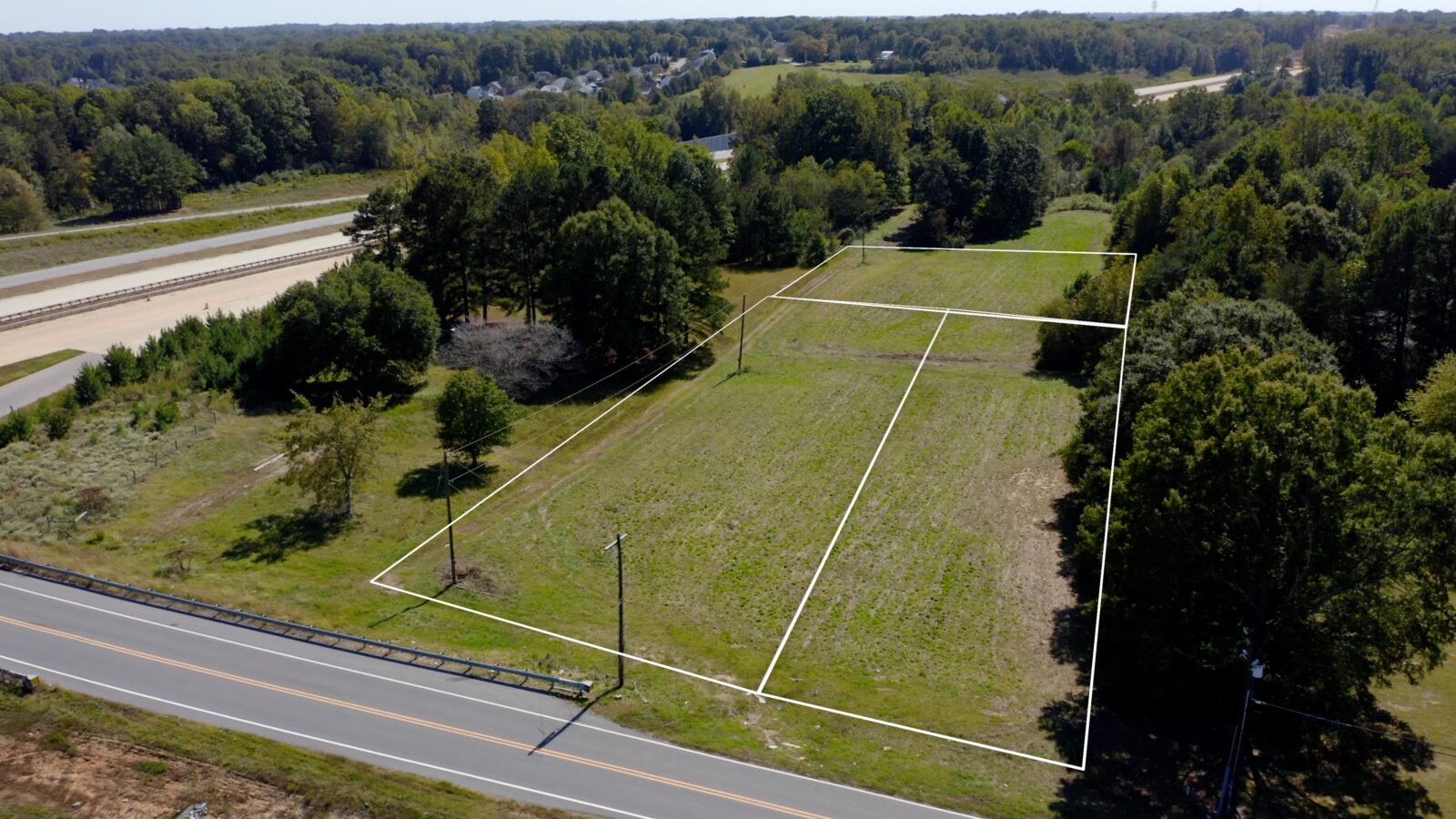
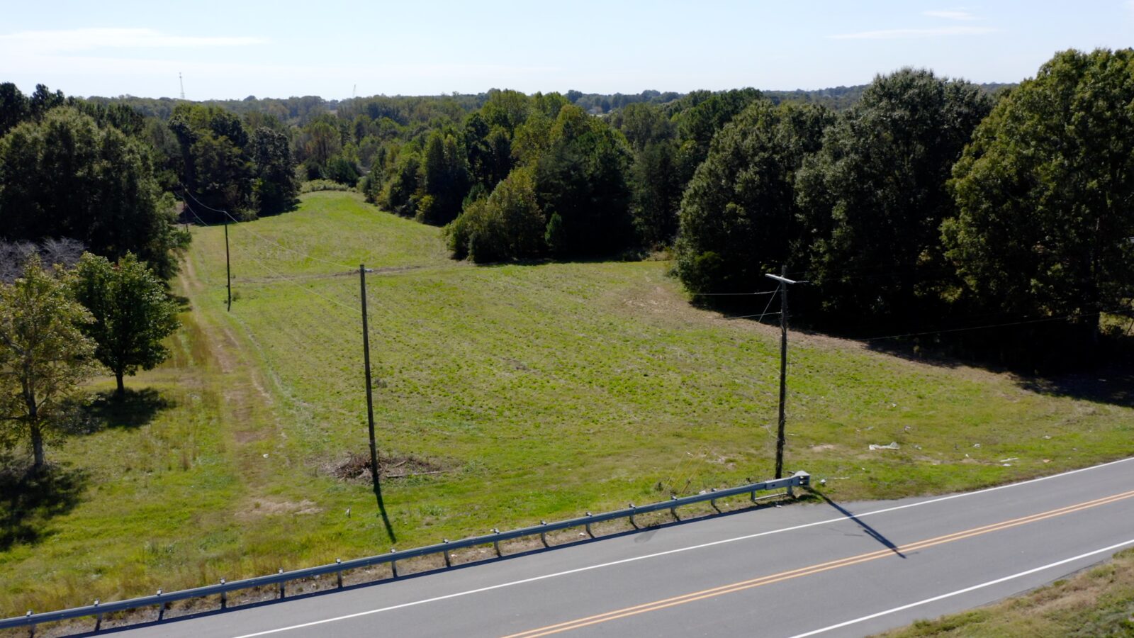
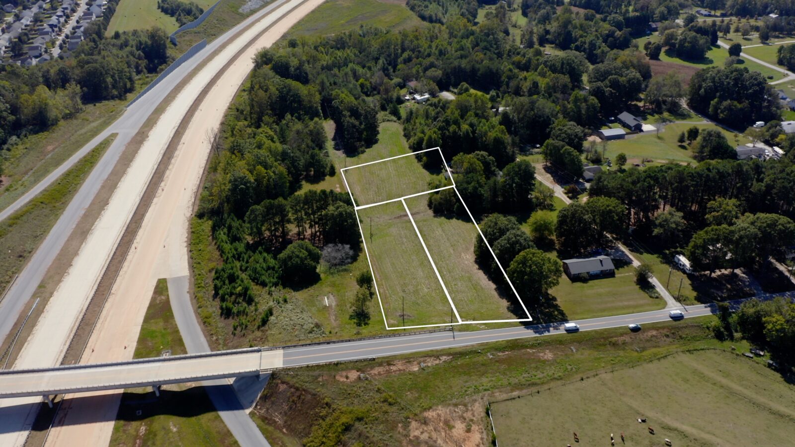
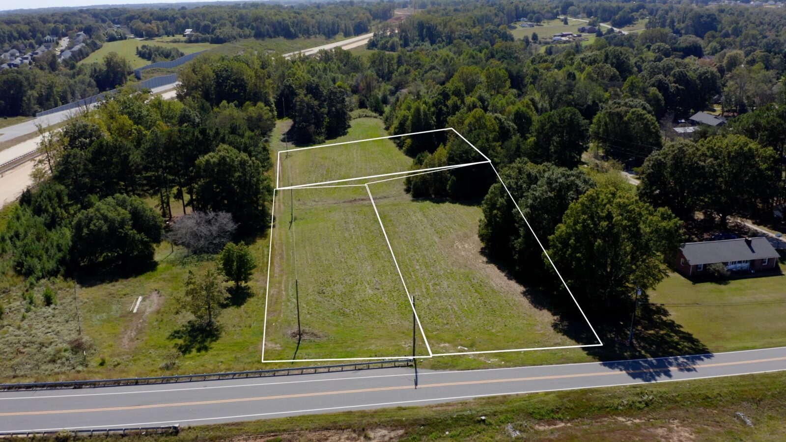
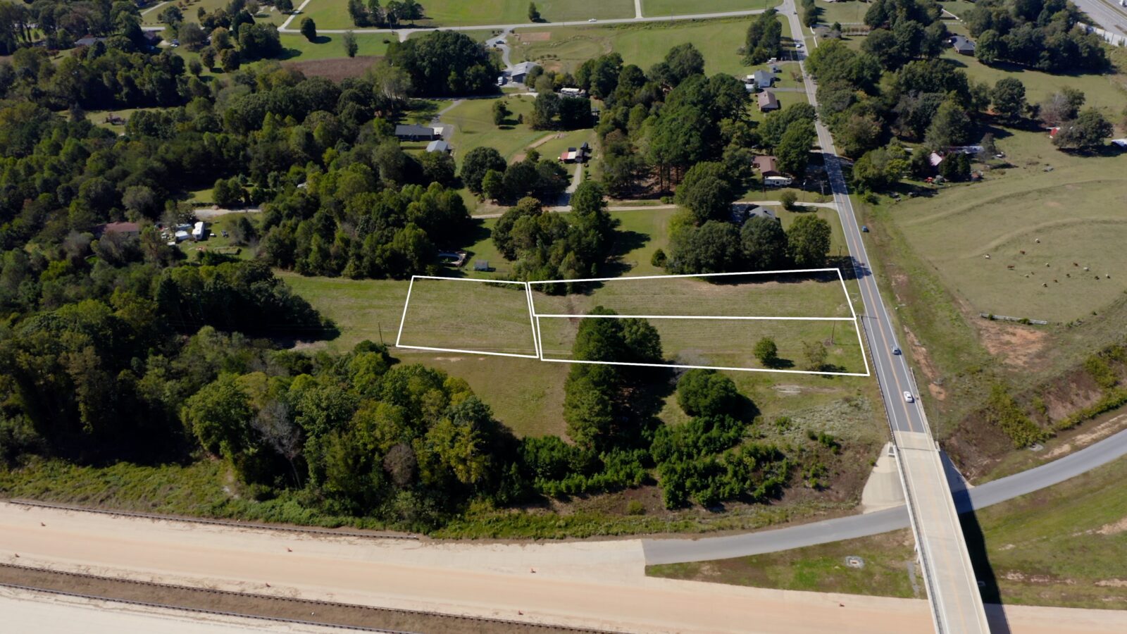
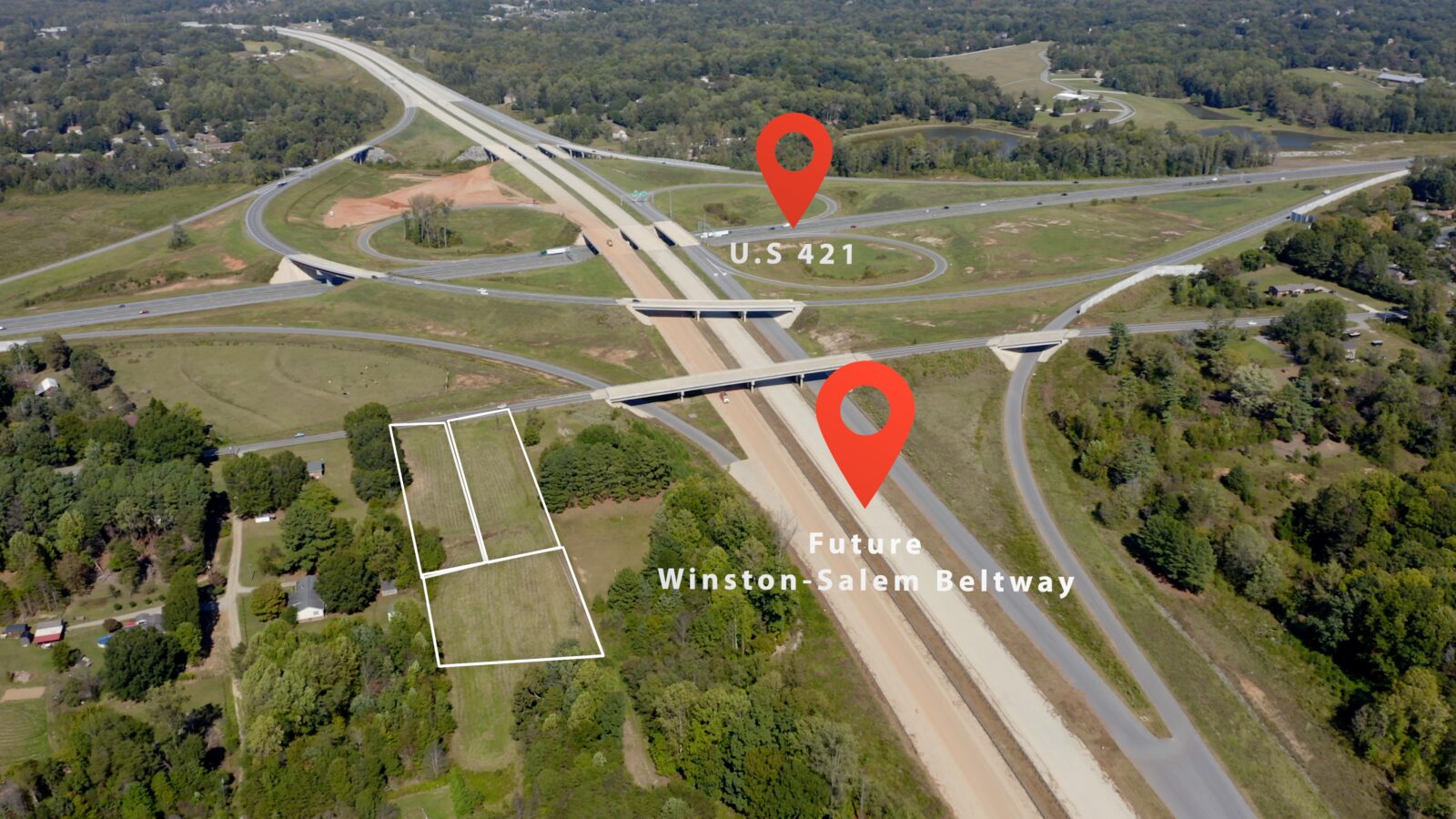
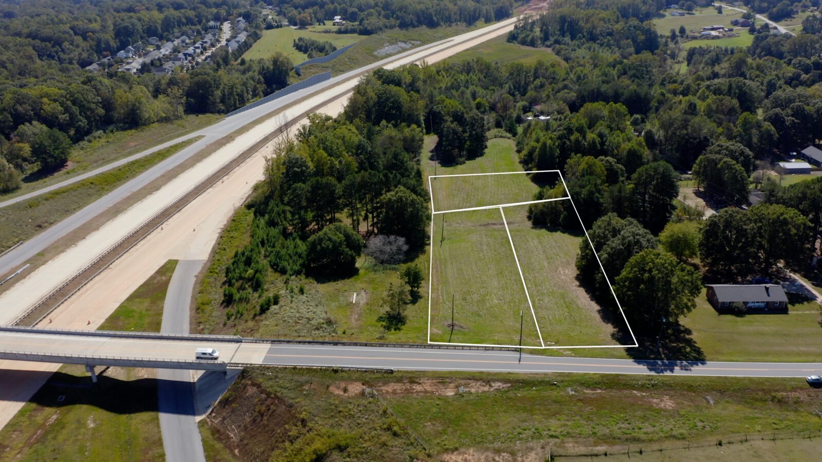
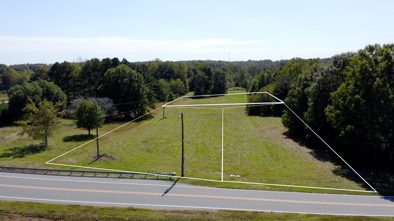
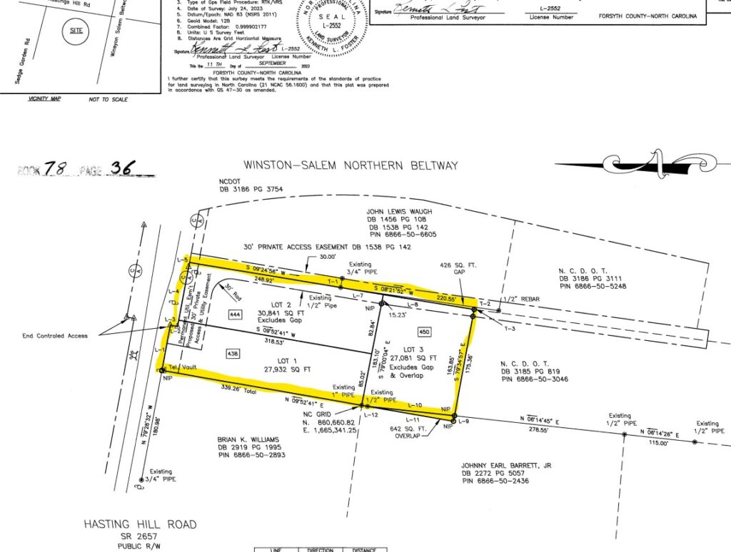
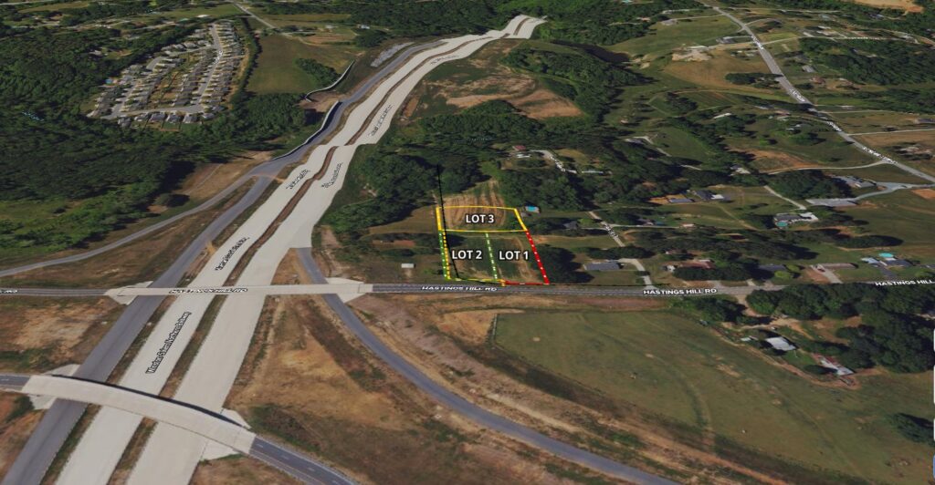
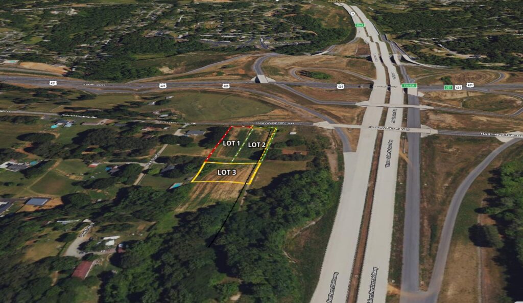
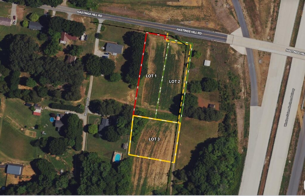
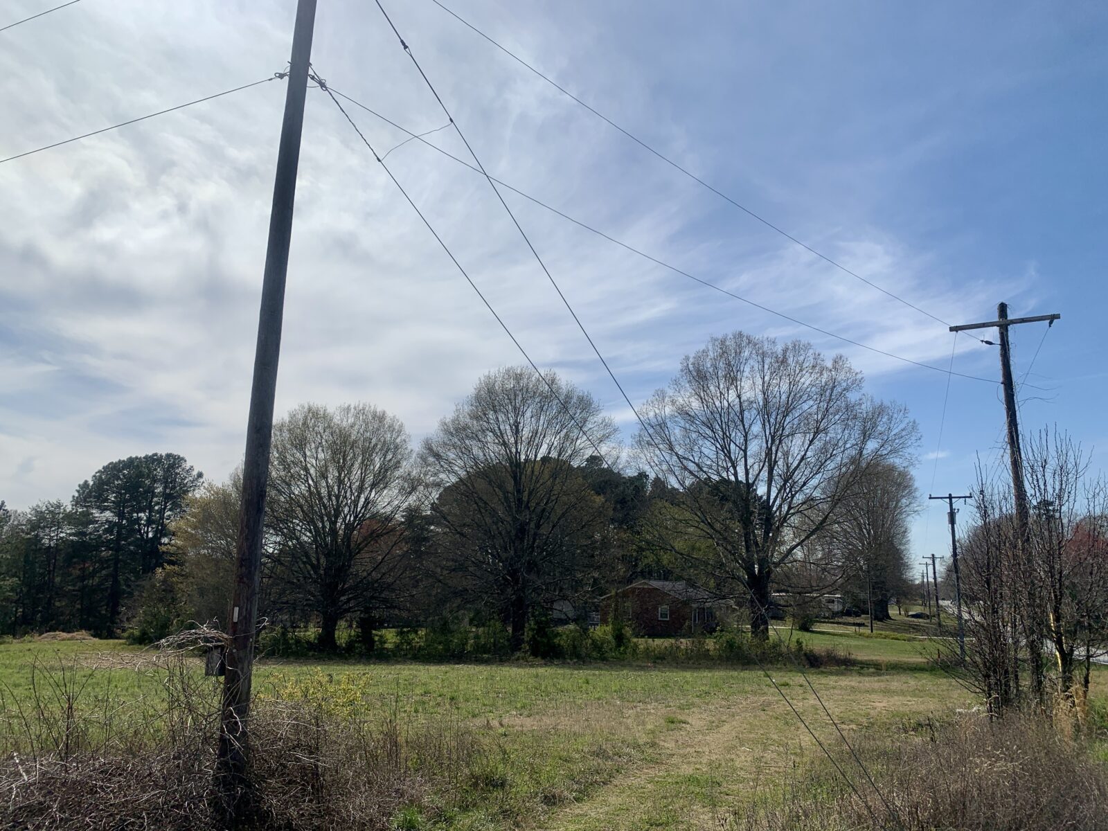
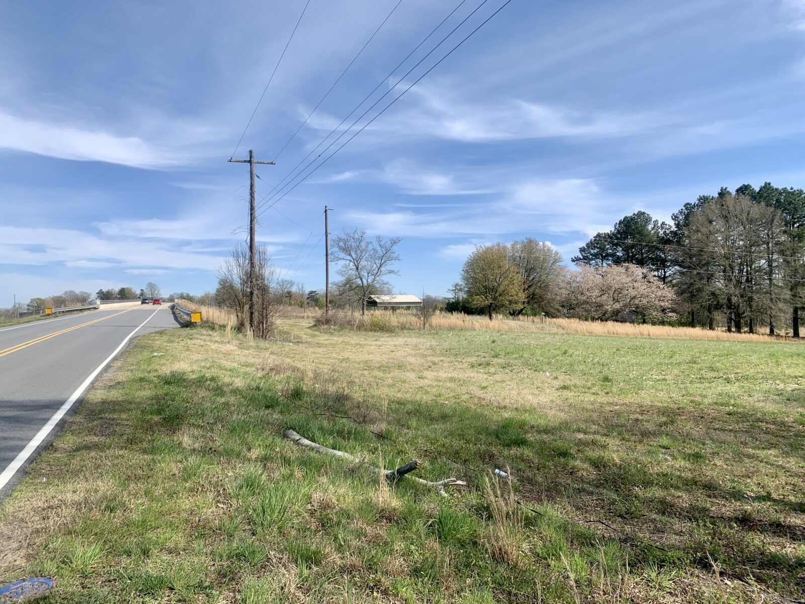
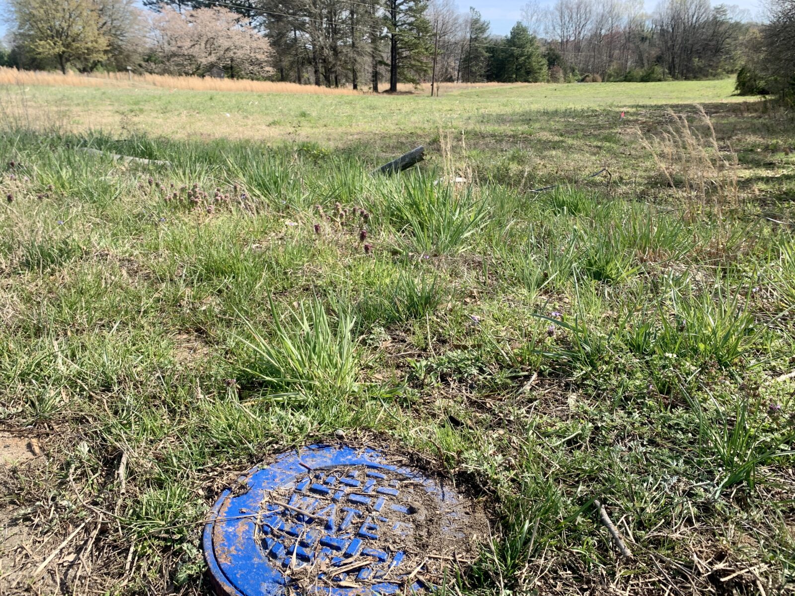
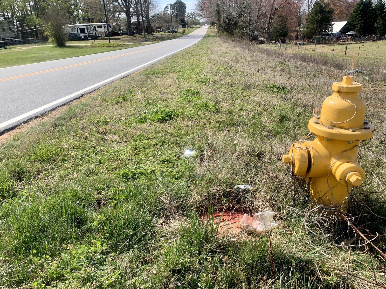
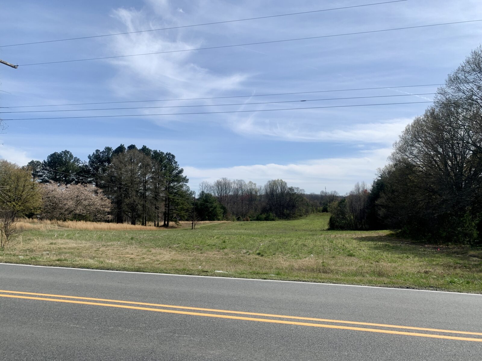
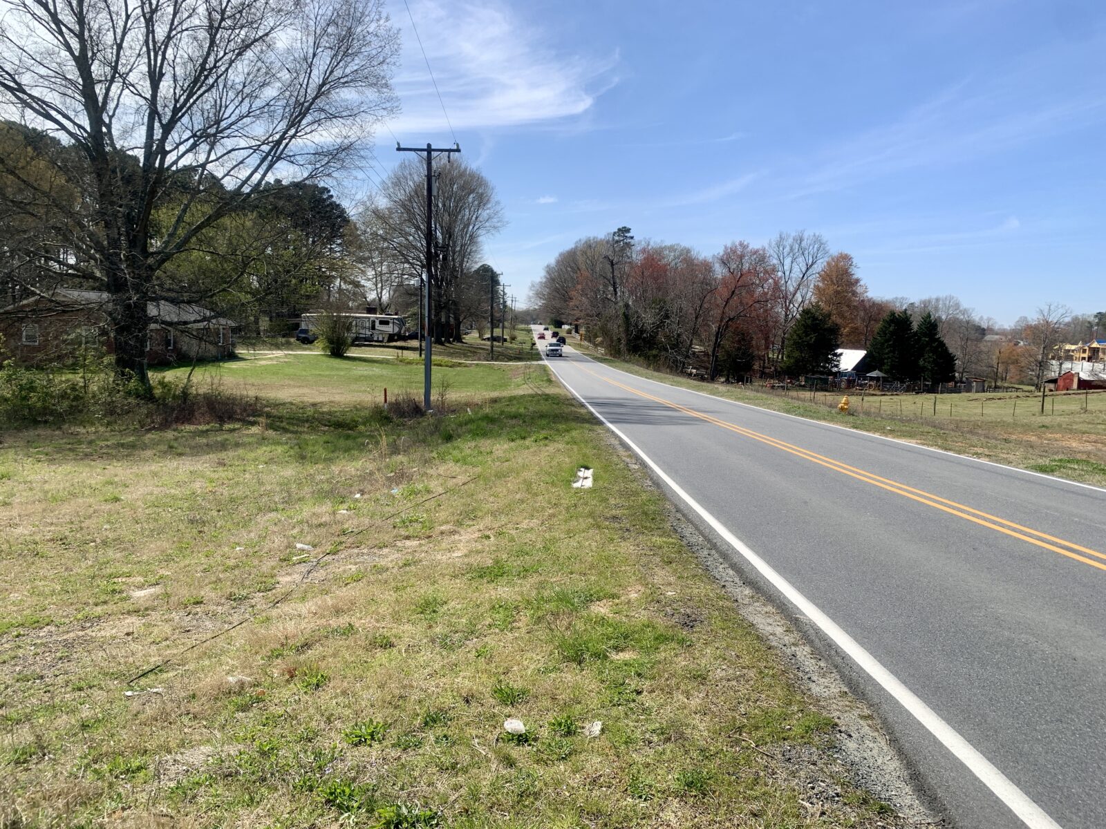
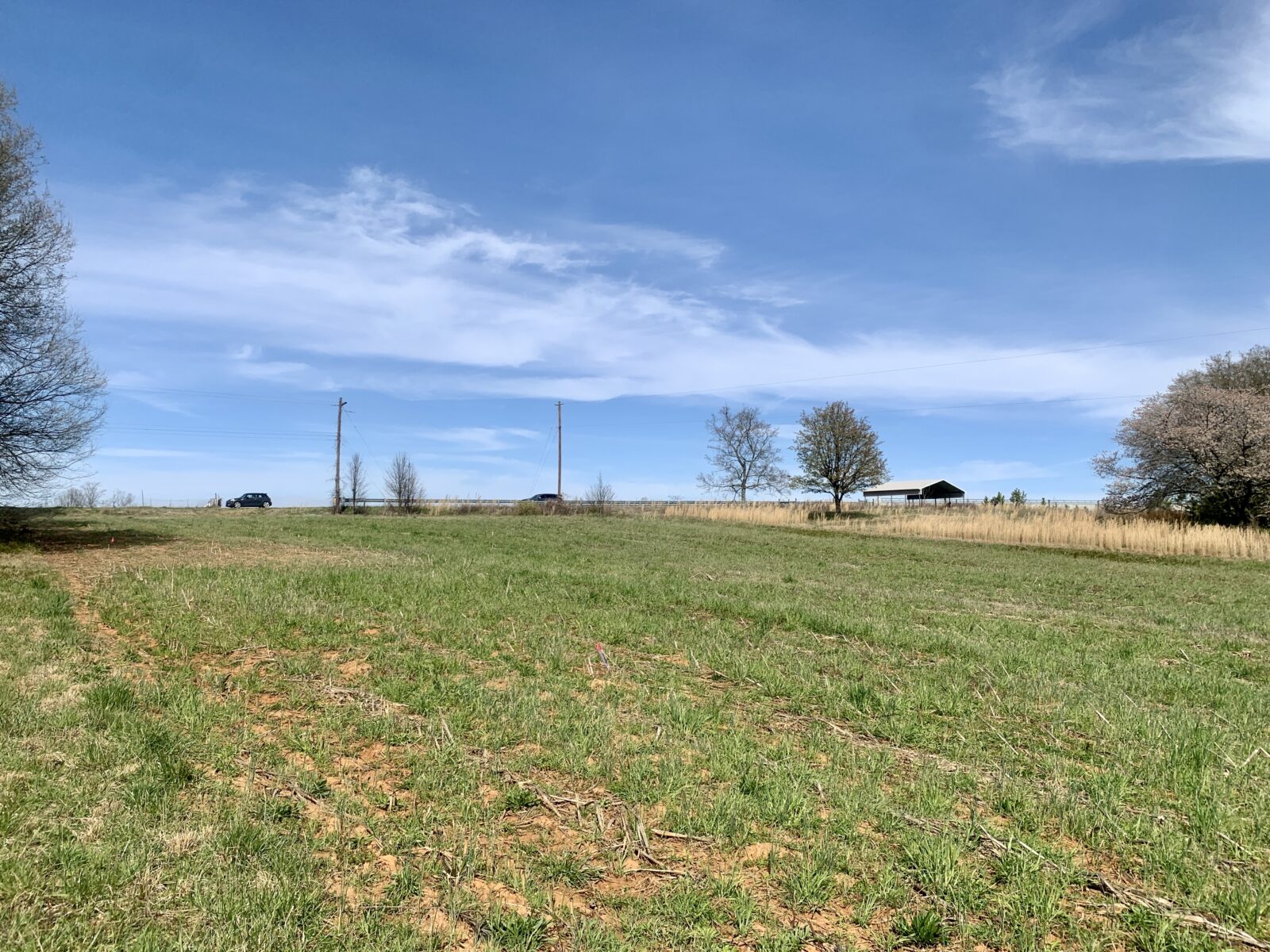
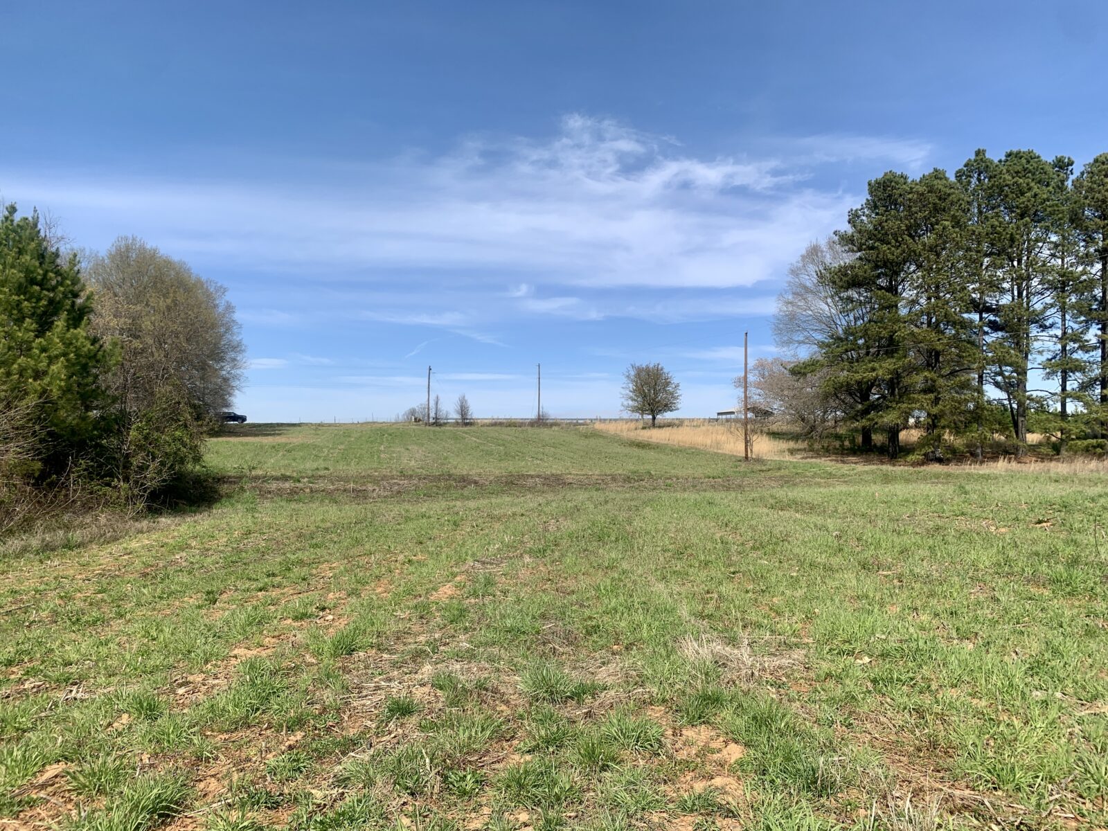
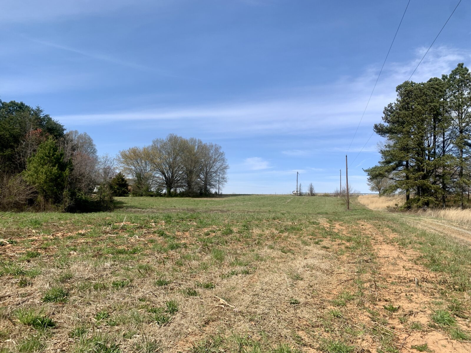
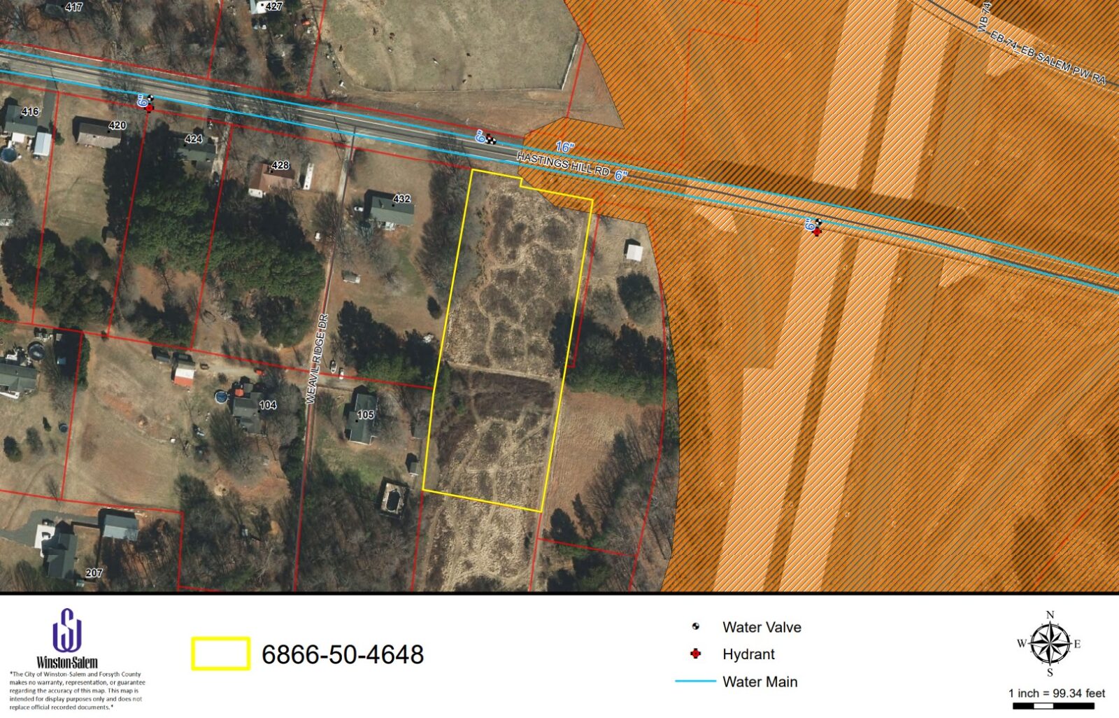
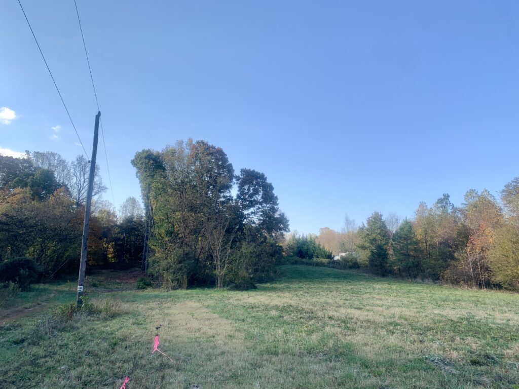
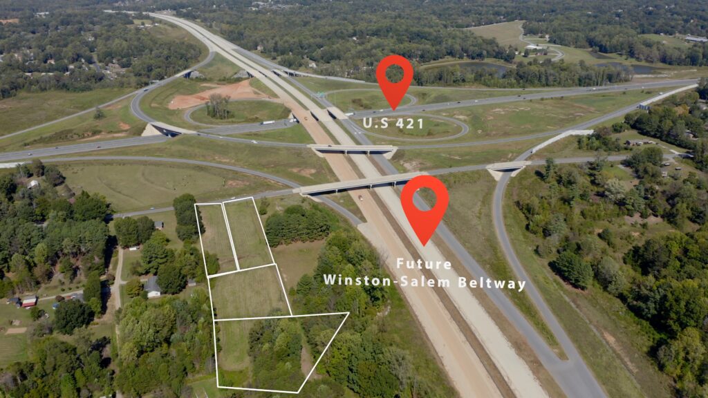
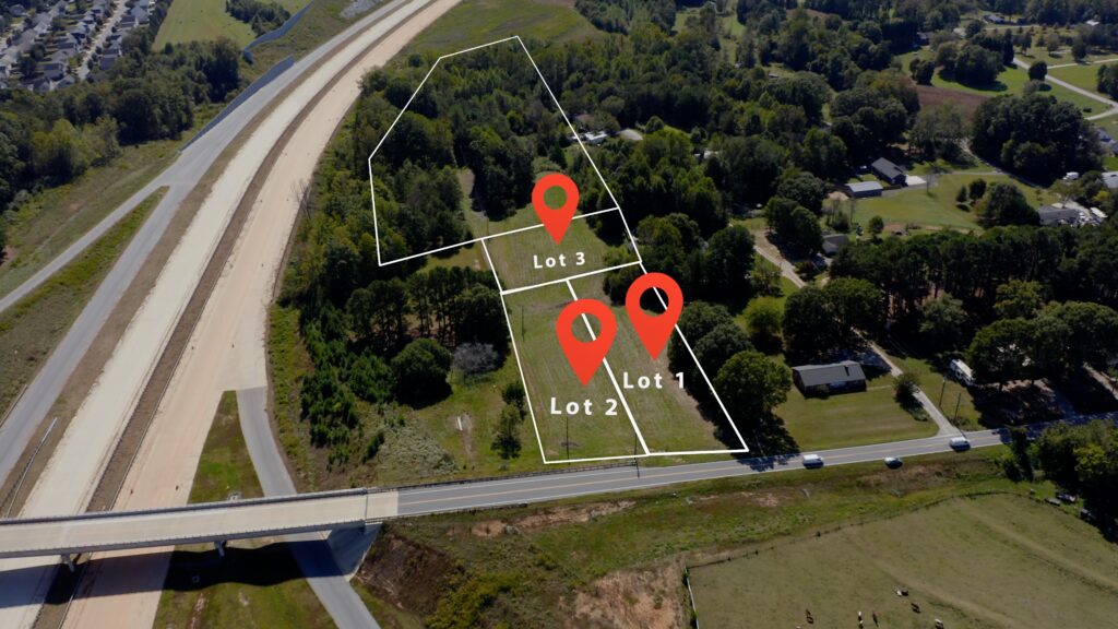
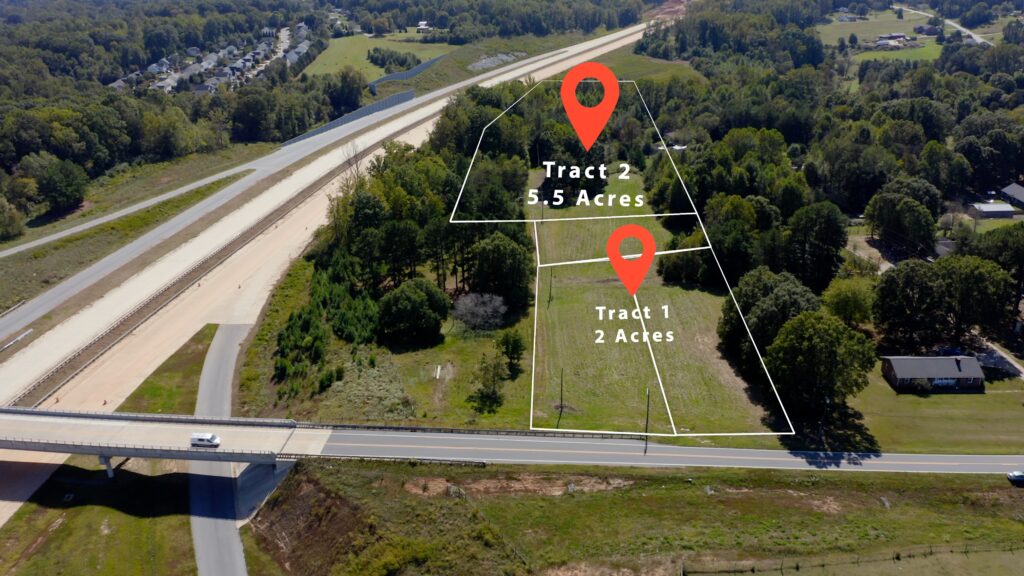
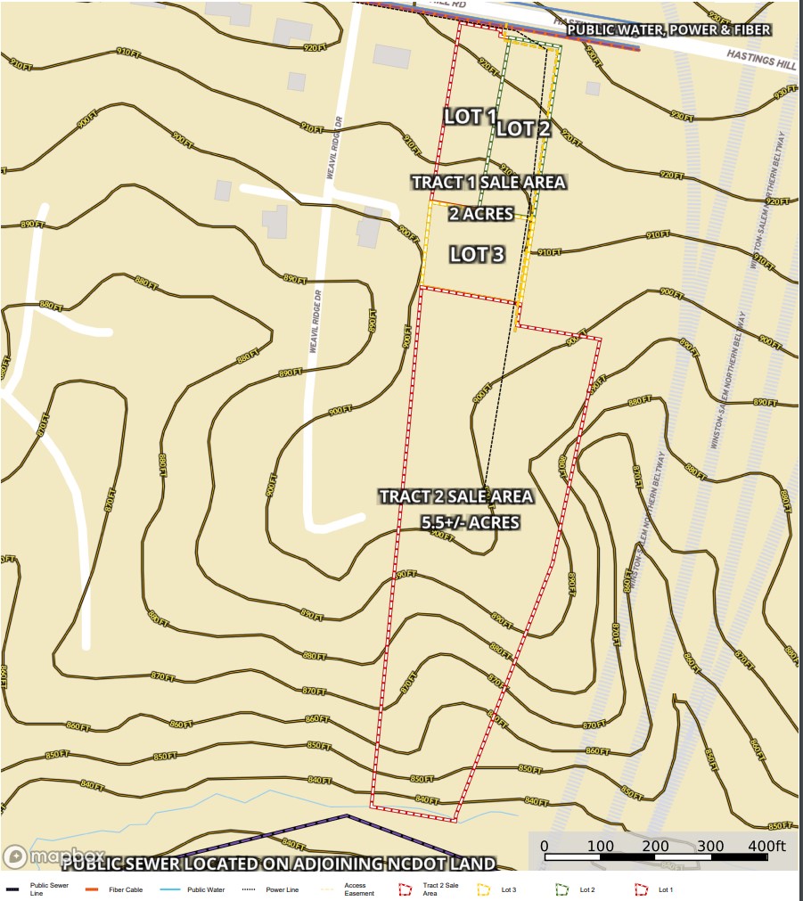
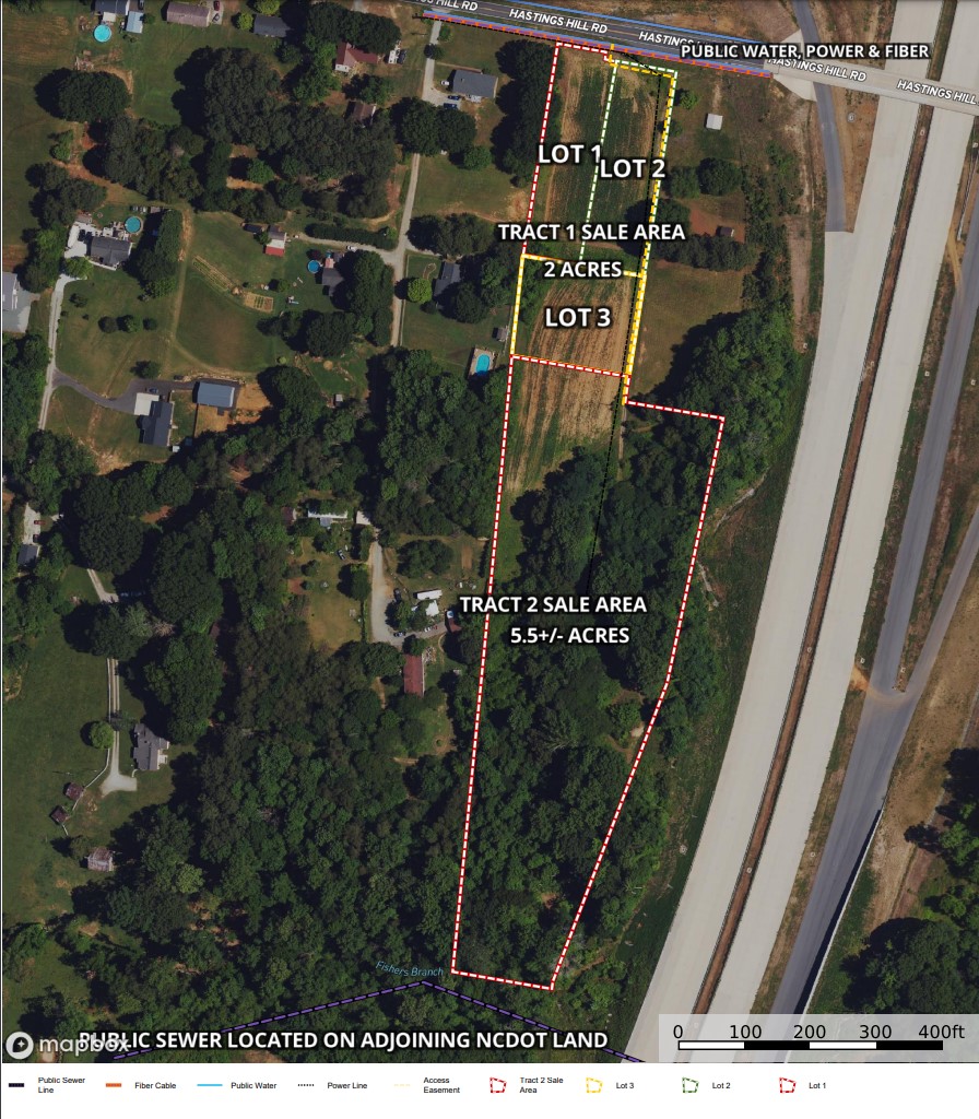
Tract 1 contains 2 acres with paved, public road frontage, gentle sloping, open grass land with 3 recently surveyed building lots that received a recent soils evaluation indicating conducive soils for 25% reduction septic systems on all 3 lots that would support a 3 bedroom home each. Possible 4 bedroom homes on lots 1-3 with 50% reduction septic systems. Electricity, fiber cable and public water available on Hastings Hill Road.
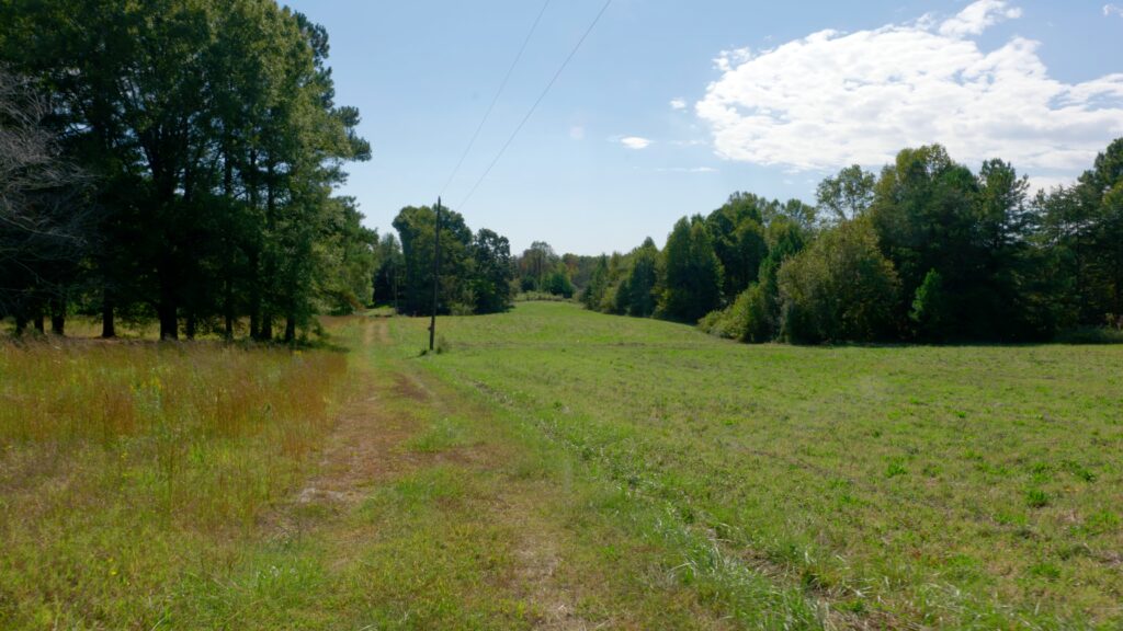
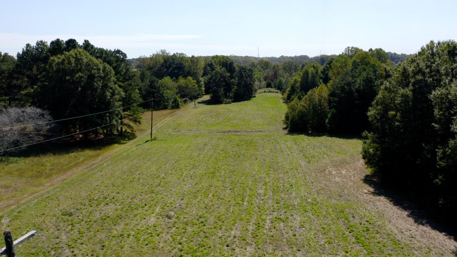
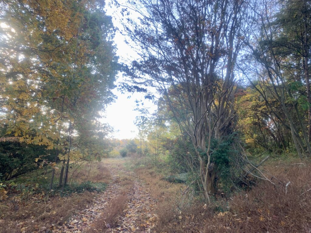
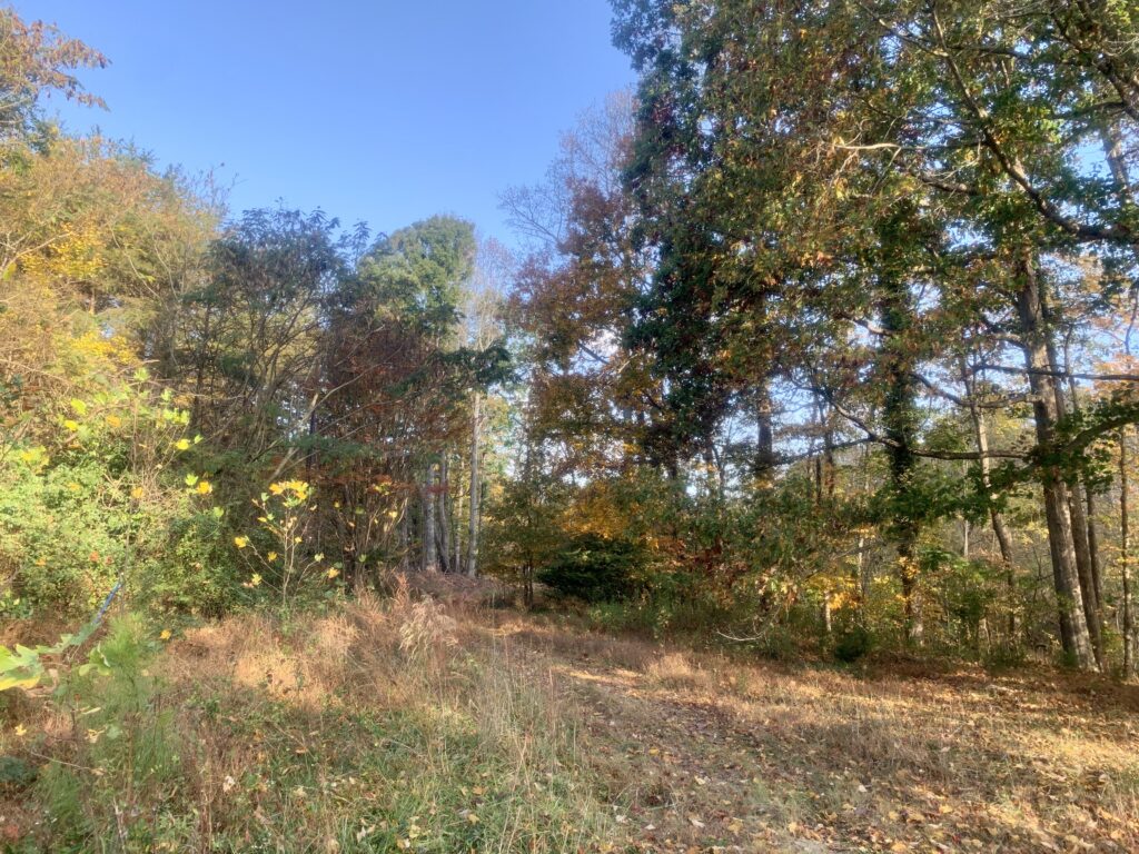
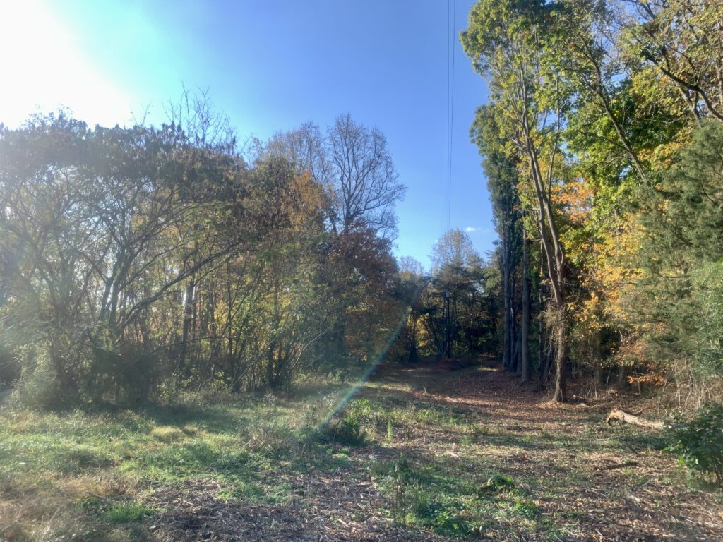
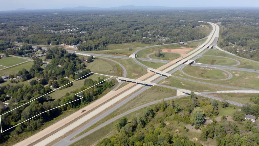
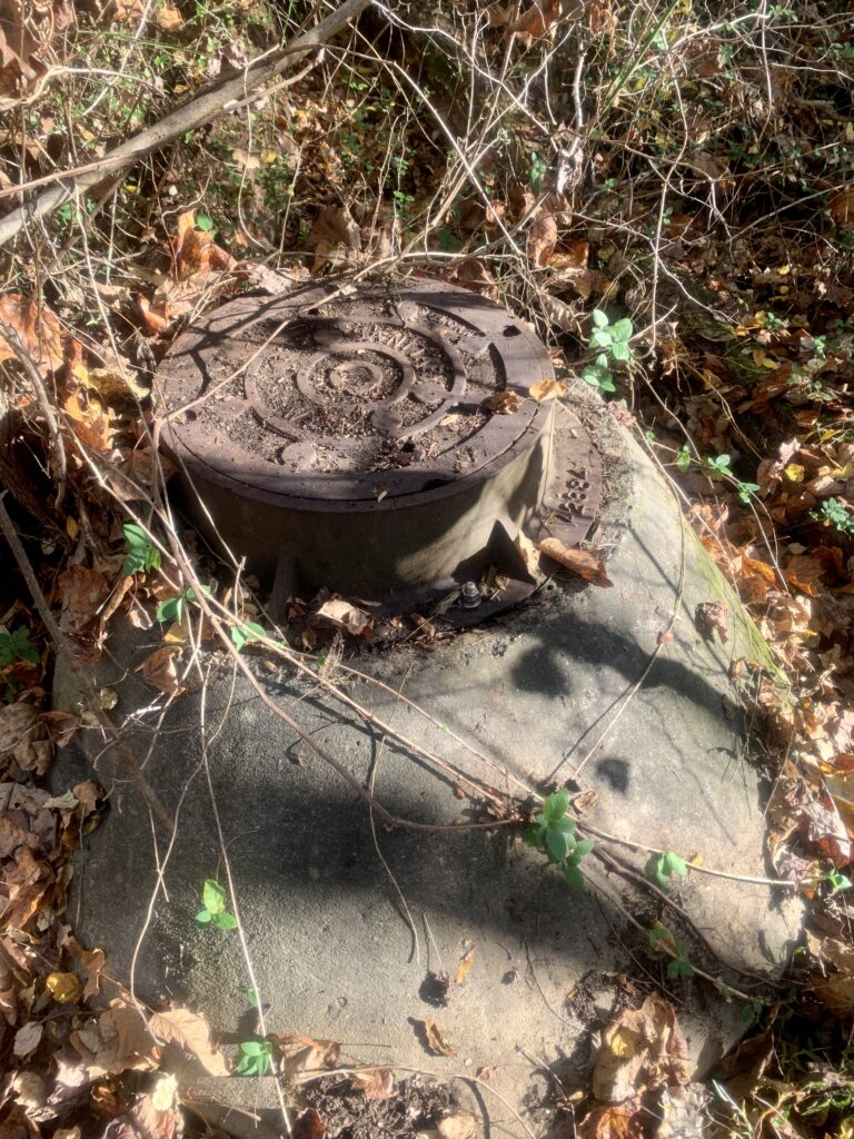
Tract 2 contains approximately 5.5 acres and is located behind Tract 1. Soils have not been evaluated for septic suitability yet (like Tract 1), but the adjoining property to the south owned by the NC DOT has a 16″ public sewer line, new owner could negotiate access to sewer which would eliminate the need for septic.
Property Video
(play full screen for best quality)
Uses
Single Family Residential, SFR Development
Parcel Information & Price
| Tax Parcel ID Number(s) | Size (ac) | Price | Status | |
| Tract #1 (includes lots 1-3) | 6866-50-4811, -4799, -4517 | 2 | $135,000 | Closed |
| Lot #1 | 6866-50-4811 | 0.64 | $45,000 | Closed |
| Lot #2 | 6866-50-4799 | 0.71 | $45,000 | Closed |
| Lot #3 | 6866-50-4517 | 0.62 | $45,000 | Closed |
| Tract #2 | 6866-50-3046, -5017 | 5.5 | $199,000 | Available |
Tract 1 Property Features
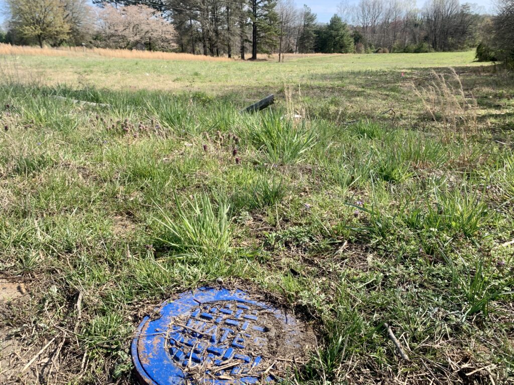
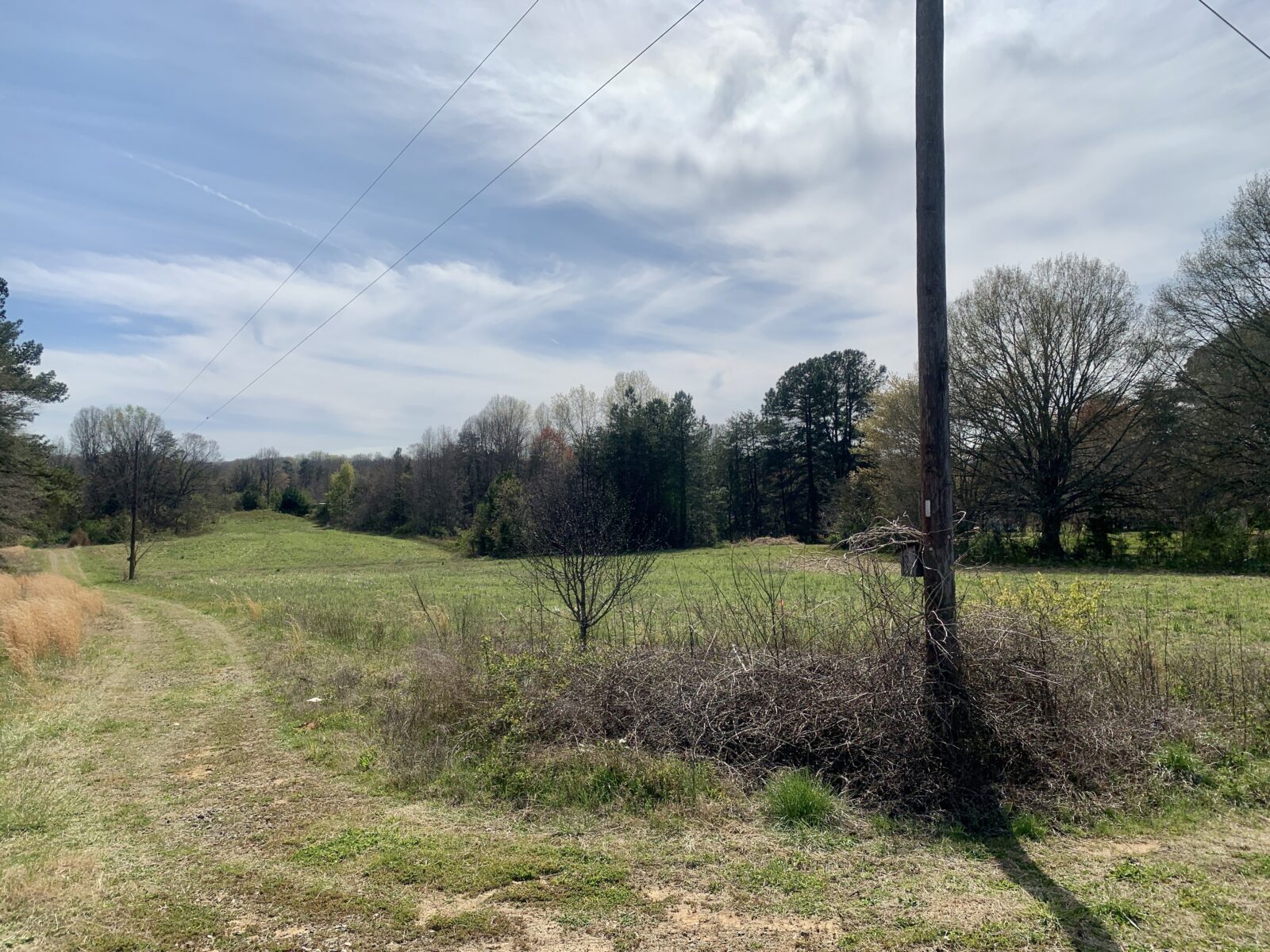
- 2 acres open grass field
- Gradual sloping land, ideal for slab-on-grade foundations
- 3 surveyed lots ranging in size from 0.62 to 0.71 acre
- 180 feet paved public road frontage
- Electricity available
- Fiber cable available
- Public water available
- Percable soils, see Soil Evaluation and Improvement Permits(2)
- RS 9 Zoned
Tract 2 Property Features
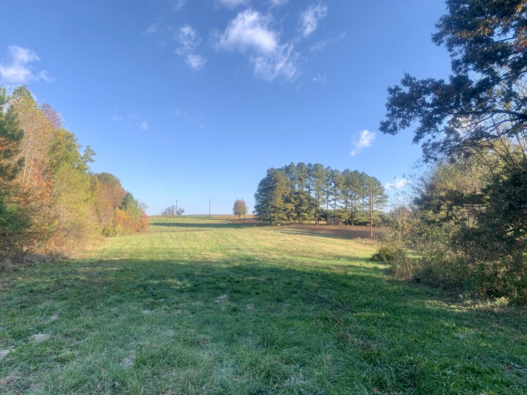
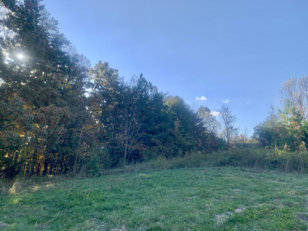
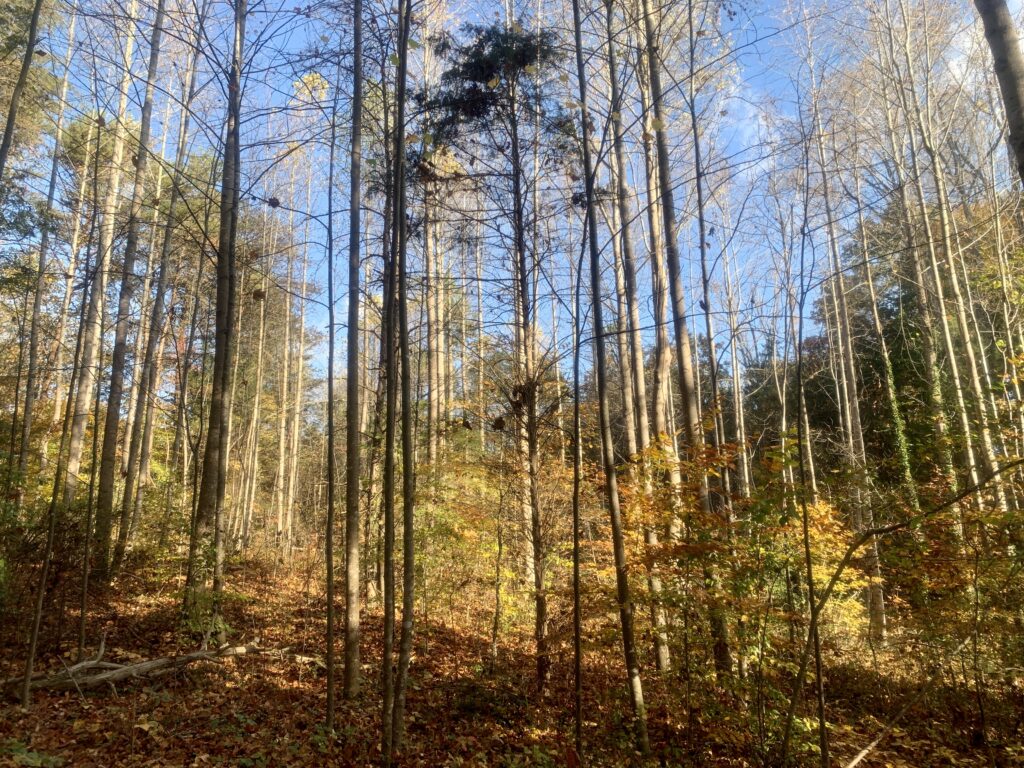
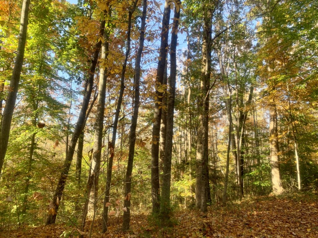
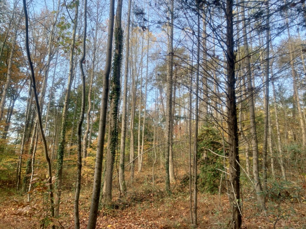
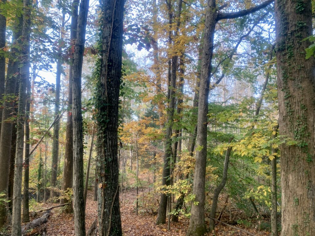
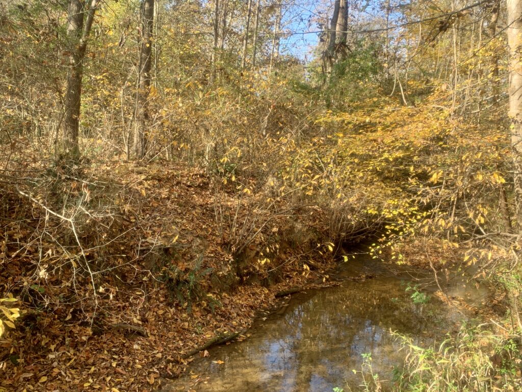
- 1.5 acres open land, 4 acres forested
- About 3 acres are mostly gradual sloping topography, suited for slab on grade foundations
- 2 acres are considered moderately sloped, suited for crawlspace and basement type foundations
- Electricity available (on site)
- Fiber cable available (via easement)
- Public water available (via easement)
- Public sewer nearby on adjoining property owned by NCDOT
- RS 9 Zoned
Distances
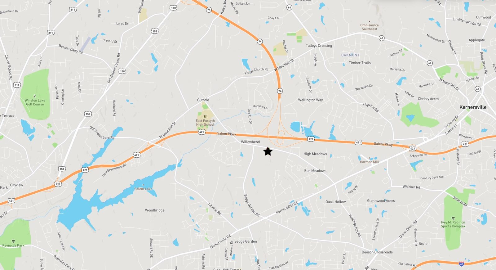
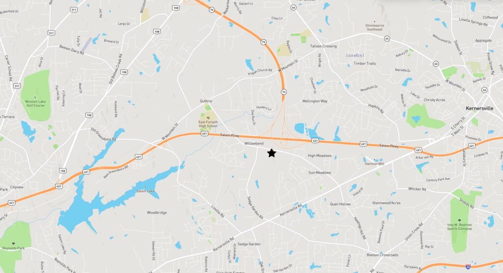
- 2 minute drive to East Forsyth High School
- 3 minute drive to Lowes Home Improvement, Target, Walmart, etc
- 7 minute drive to downtown Kernersville
- 9 minute drive to downtown Winston-Salem
Property Maps & Disclosures
- Aerial Photo
- Aerial Photo 2
- Topography Map
- Oct. 2023 Soils Report
- Oct. 2023 Soils Report Map
- Tract 1, 2023 Survey
- Public Utilities Map
- RS9 Zoning Regulations
- Minor Subdivision Requirements
- Salem Lake Watershed Map
- Salem Lake Watershed Protections
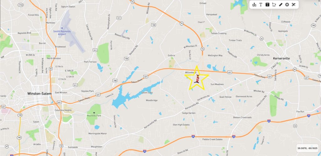
- Location Map
- Google Street Map
Directions & Coordinates
From stoplight at Kernersville Road, continue north on Hastings Hill Road 1.2 miles, and as soon as you cross over bridge, property will be on your immediate left.
36.11012591621916, -80.13235493568321
Tract 1 Photographs
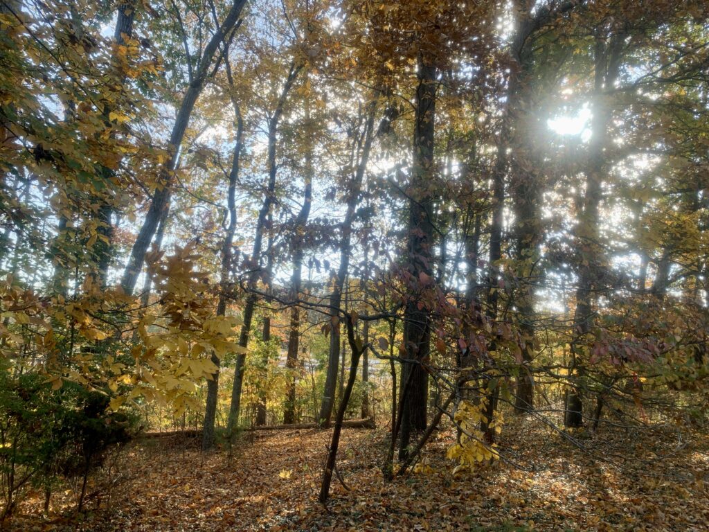
Tract 2 Photographs

Contact
JOHN SHIPLEY
336-416-6384, cell
john@theshipleyco.com
DISCLAIMER:
Information taken from reliable sources and thought to be correct. Potential buyers should perform their own due diligence and verify all information.
7.5 Acres RS9 Land in Kernersville, NC

