Description
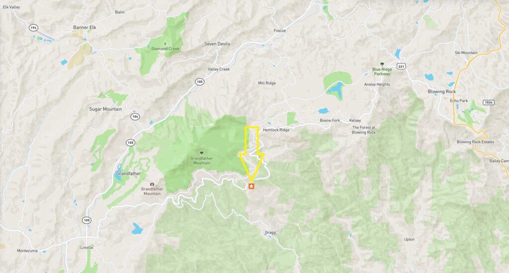
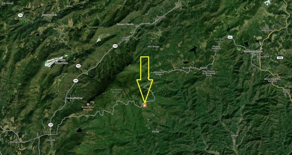
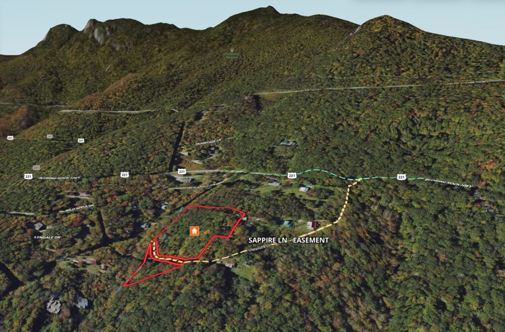
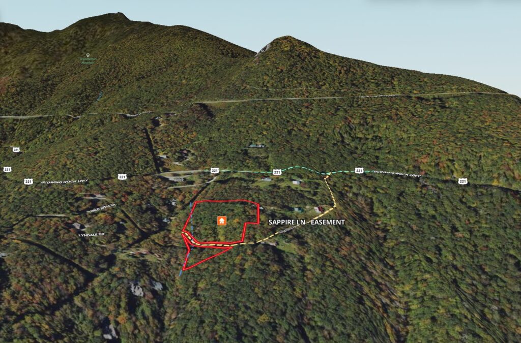
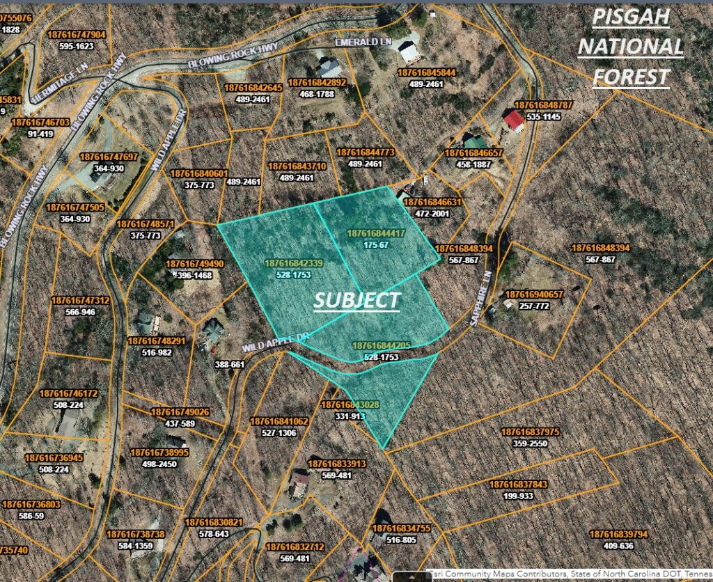
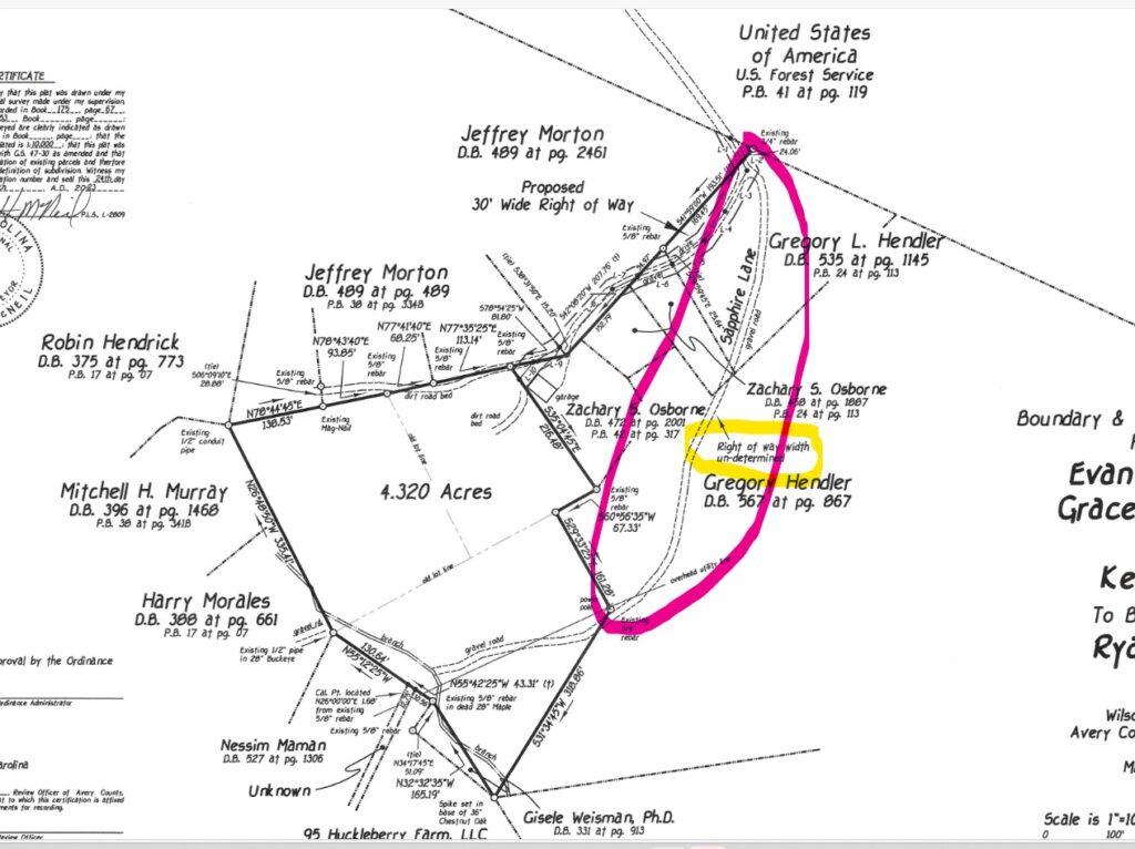
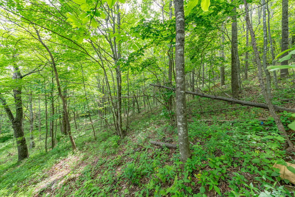
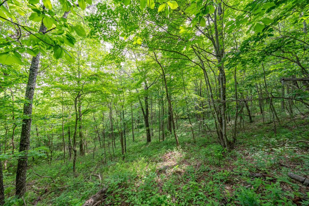
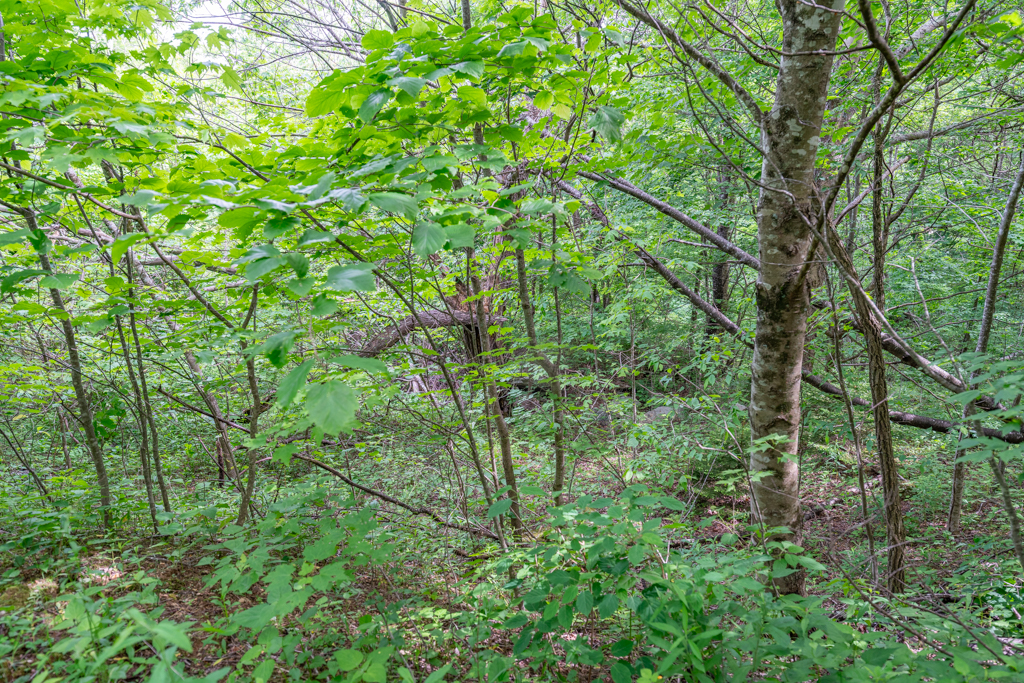
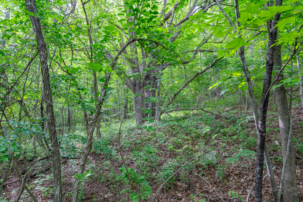
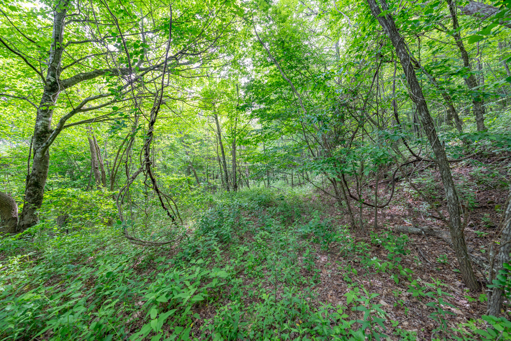
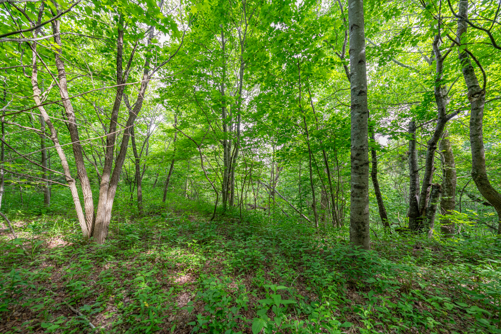
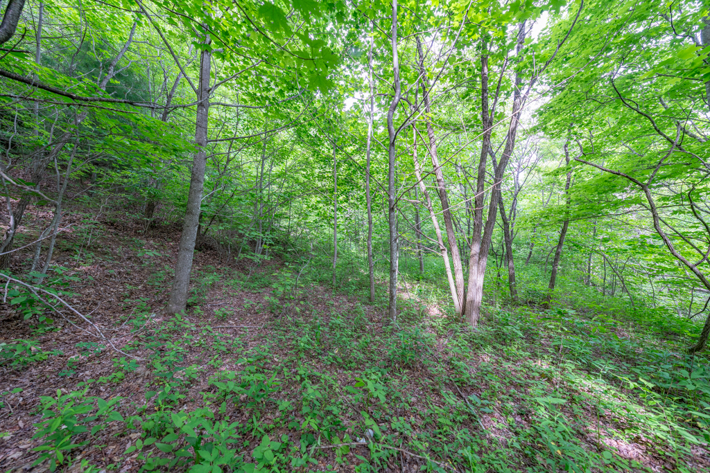
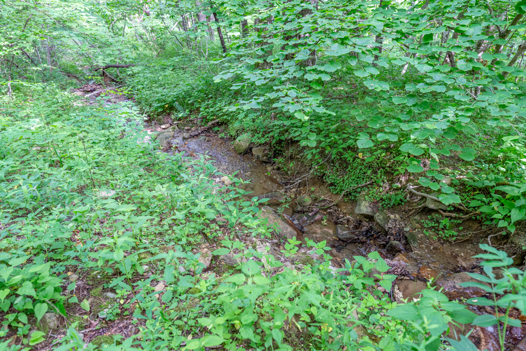
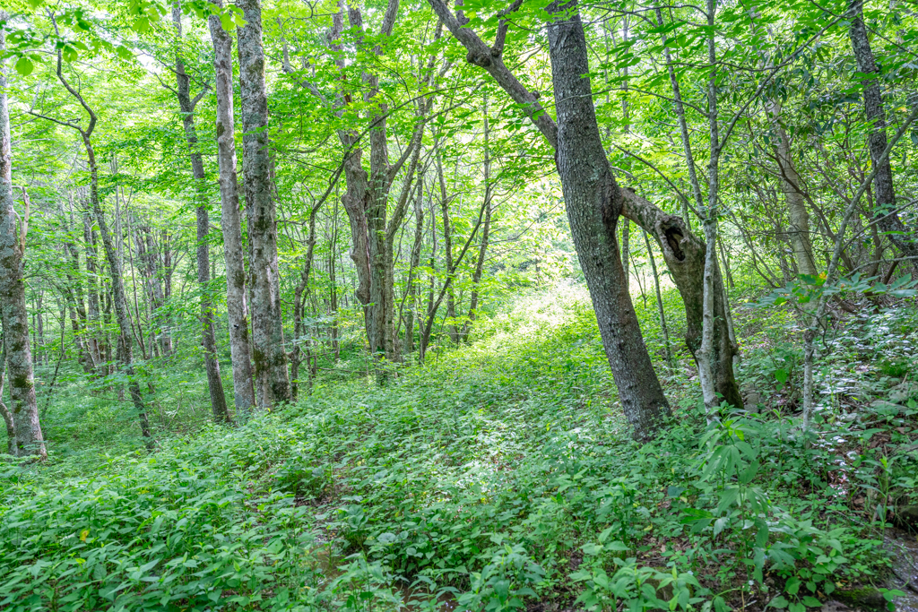
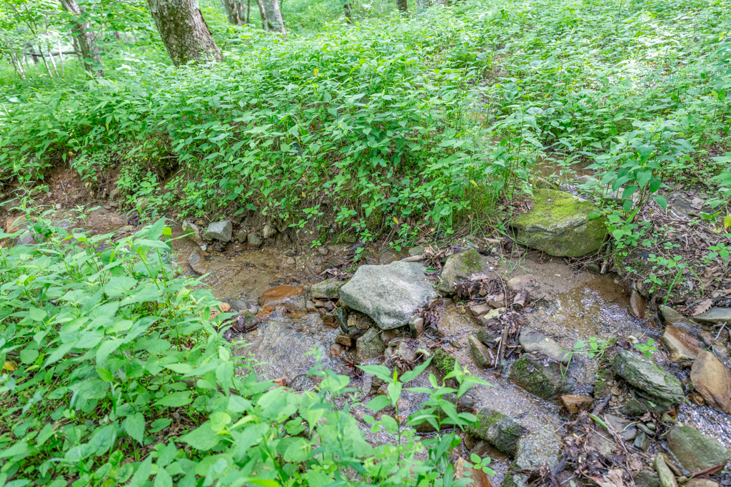
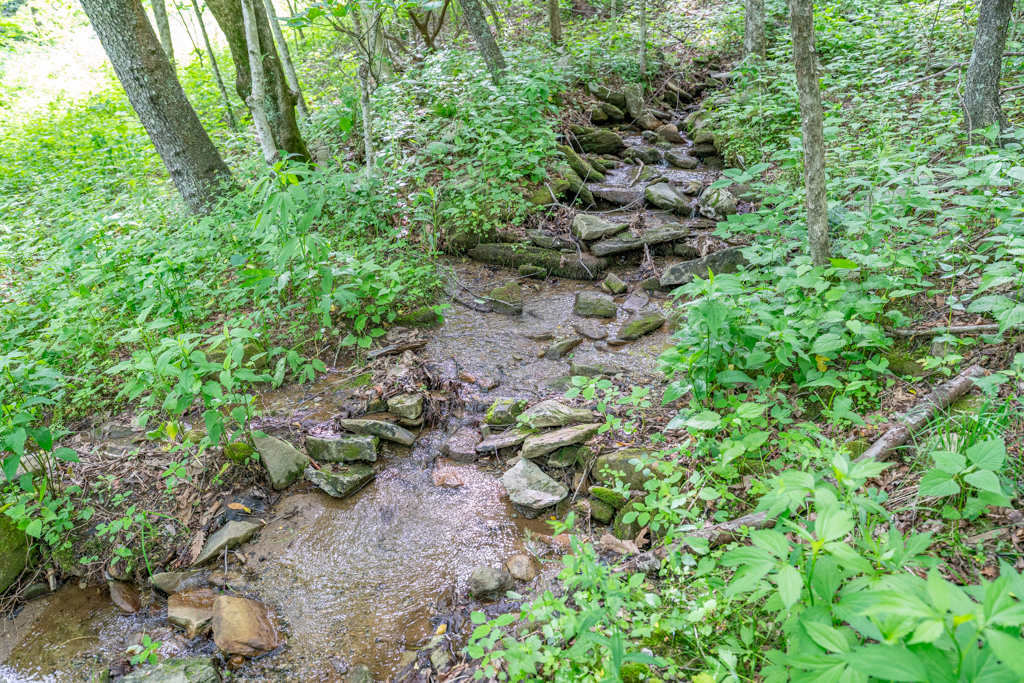
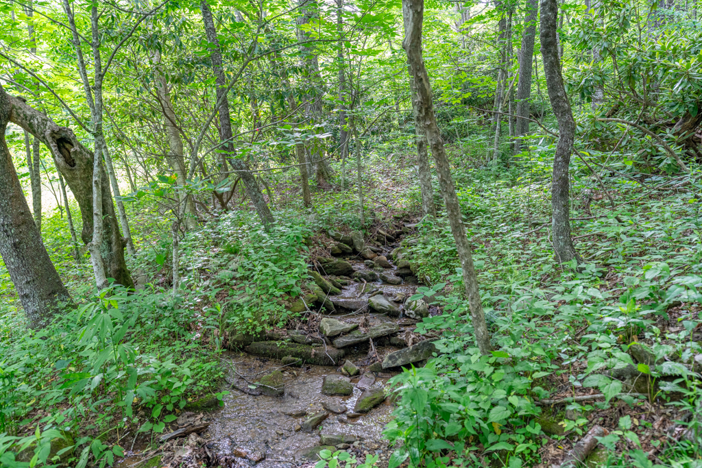
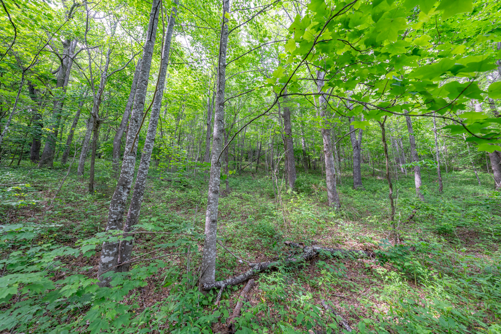
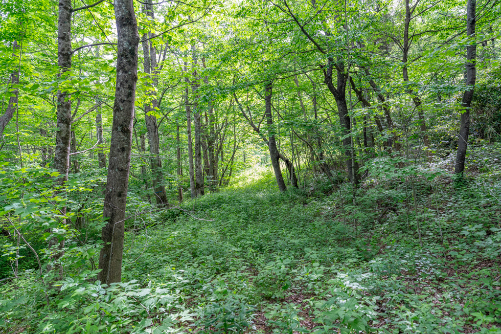
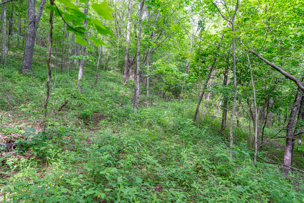
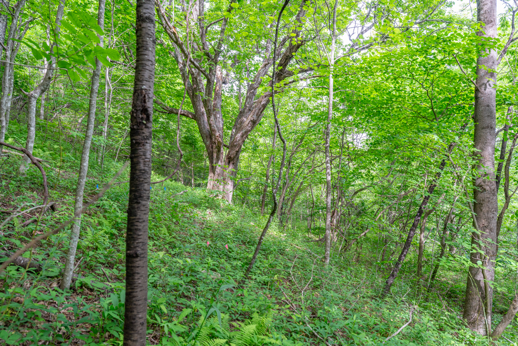
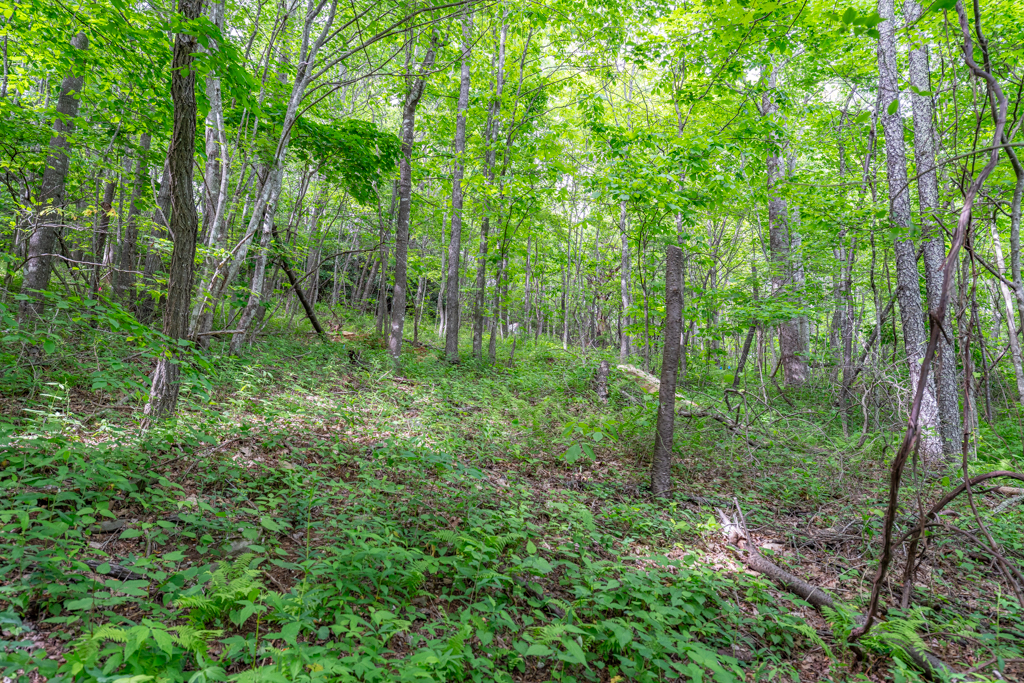
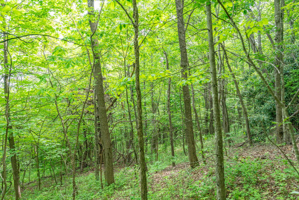
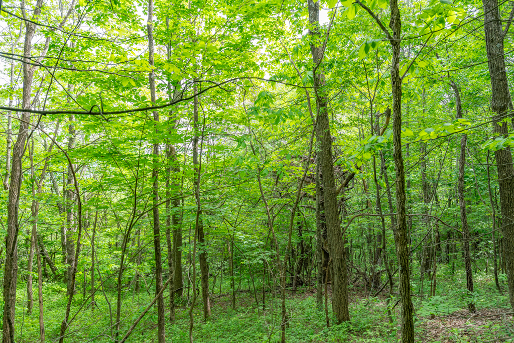
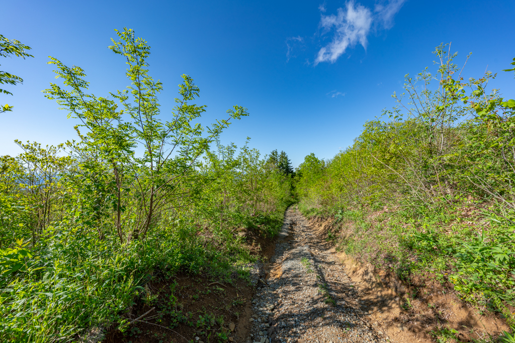
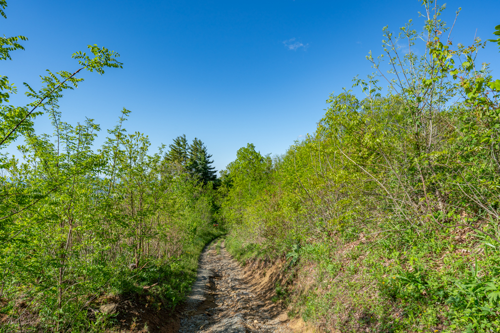
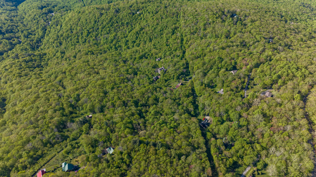
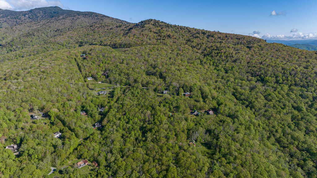
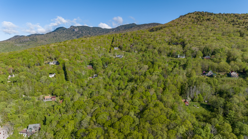
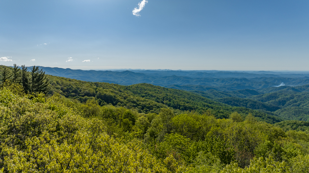
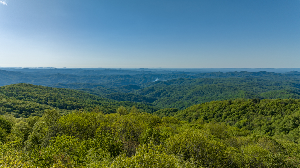
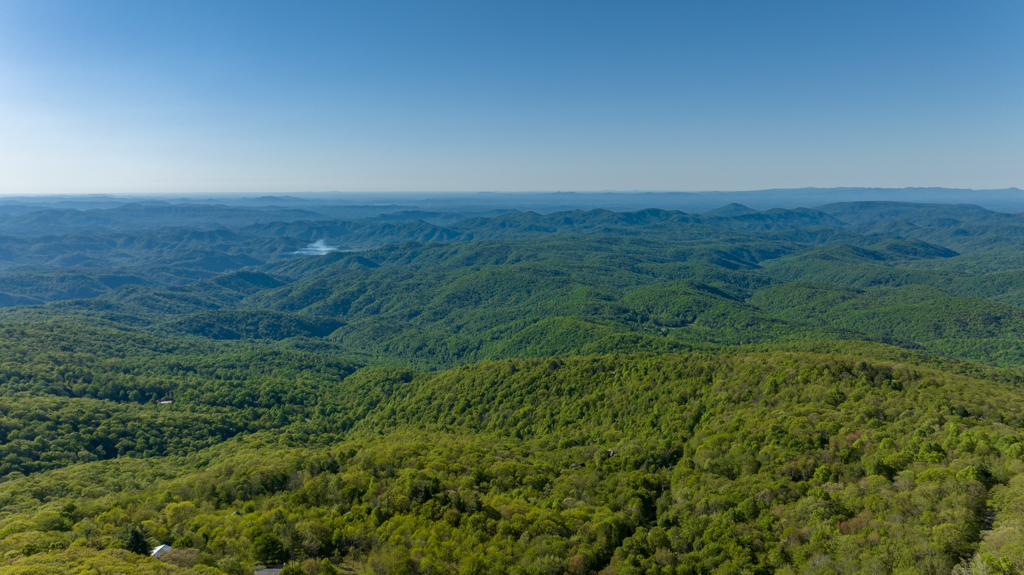
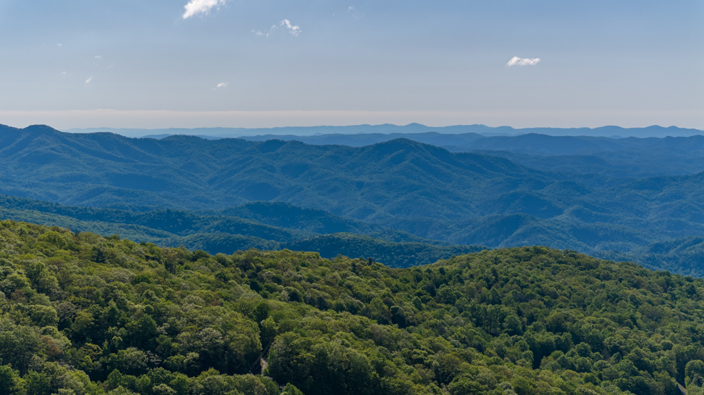
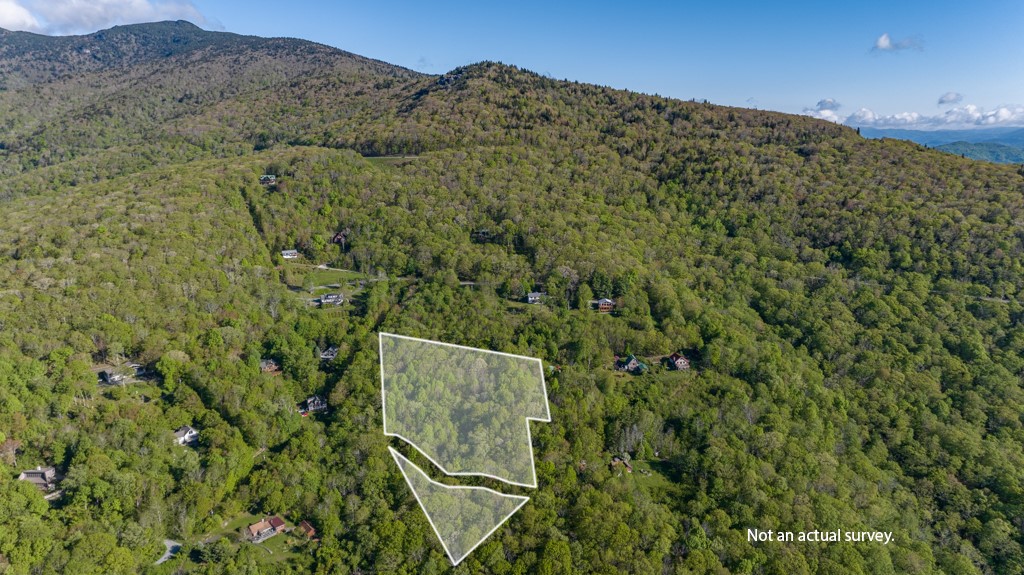
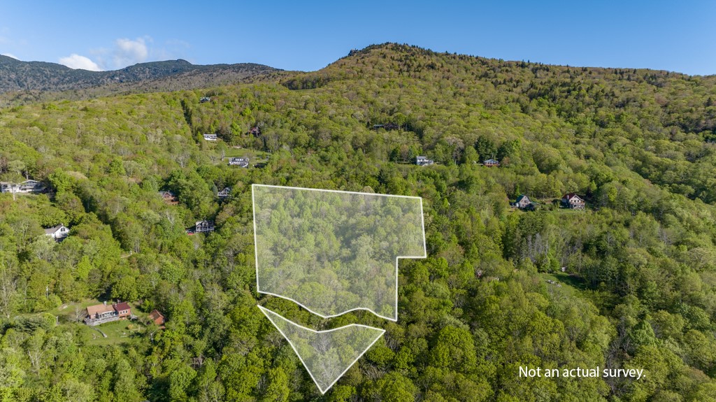
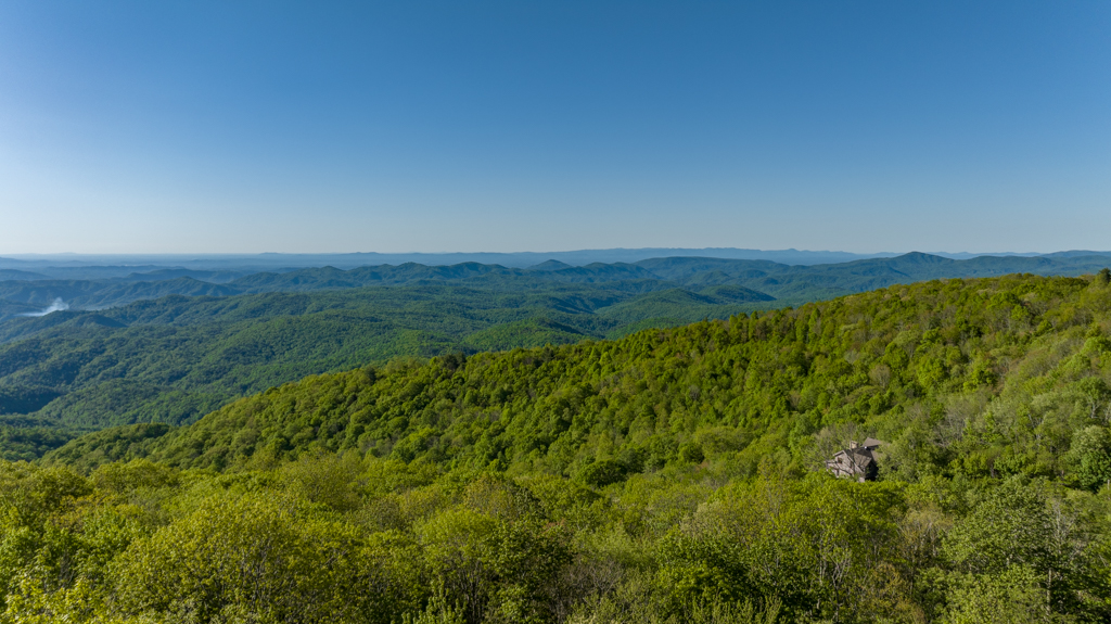
4.32 acre lot being offered for sale in Blowing Rock, North Carolina in Avery County on Grandfather Mountain. Property contains a newly issued (2024) 5 bedroom septic permit (approved for a 25% reduction system – the cheapest system available), a new (2023) survey, 180 degree (leaf off) views or 180 year-round views with tree removal. Privately but conveniently located off NC Highway 221, roughly halfway between Linville and Blowing Rock, North Carolina. Property has direct access the Pisgah National Forest and Grandfather Mountain State Park from the driveway or HWY 221. Mature hardwood timber, a spring creek (potential water source), rock outcrops, and a gravel driveway. Elevation ranges from 3,750 to 3,940 feet above sea level.
Grandfather Mountain[1] is a mountain, a non-profit attraction, and a North Carolina state park near Linville, North Carolina. At 5,946 feet (1,812 m), it is the highest peak on the eastern escarpment of the Blue Ridge Mountains, one of the major chains of the Appalachian Mountains. (Nearby Mt. Mitchell, the highest peak east of the Mississippi River, is on the western escarpment.) The Blue Ridge Parkway passes by the south side of the mountain and also passes over the nearby Grandmother Gap. It is located at the meeting point of Avery, Caldwell (highest point), and Watauga (highest point) counties.
Property Video
(play full screen for best quality)
Uses
Single Family Retreat(s), Recreation, Investment
Parcel Information & Price
| Tax Parcel ID Number(s) | Size (ac) | Price | Status |
| 187616842339, 187616844205 & -417 | 4.32 | $125,000 | Under Contract |
Features
- 4.32 acres by new survey
- New 5 bedroom septic permit
- Gravel Driveway
- National Forest and State Park access
- 180 degree leaf off views
Distances
- 0 miles to Grandfather Mountain State Park
- 0 miles to Pisgah National Forest
- 7.9 miles to downtown Linville, NC
- 10.7 miles to downtown Blowing Rock, NC
- 1:50 drive to Winston Salem, NC
- 2 hour drive to Charlotte, NC
Property Maps & Disclosures
- Aerial Map
- Aerial + Topo Map
- 2024 Septic Permit
- 2024 Septic Permit Layout
- 2023 Survey
- Location Map
- Google Street Map
Directions & Coordinates
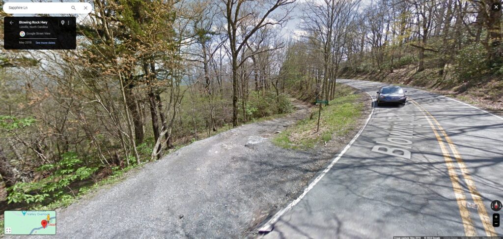
From downtown Blowing Rock, NC take Highway 221 south 10.5 miles and turn left onto Sapphire Lane/National Forest Road and continue 0.1 miles into property. Use mobile link to interactive map (above) to navigate with the MapID (free) app on your phone. Cell service with Verizon is very good, so you should not have trouble with signal.
36.09402, -81.78064
Photographs





Contact
JOHN SHIPLEY
336-497-0749
info@theshipleyco.com
DISCLAIMER:
Information taken from reliable sources and thought to be correct. Potential buyers should perform their own due diligence and verify all information.
4.3 acres in Blowing Rock, NC