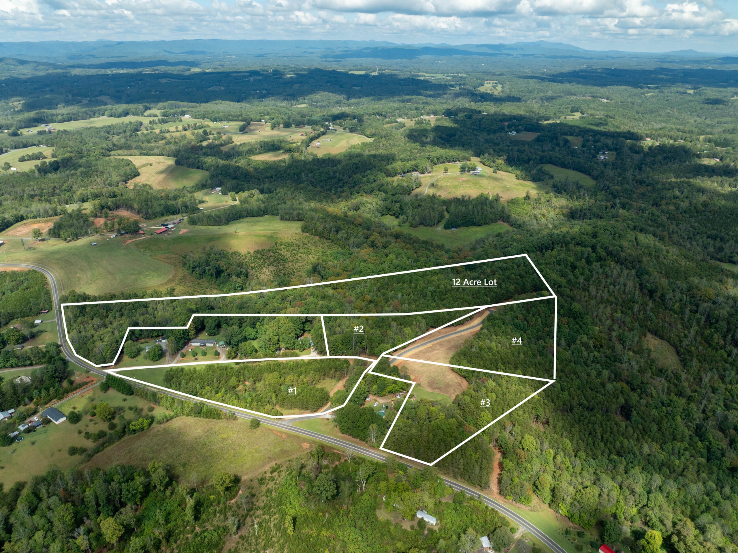
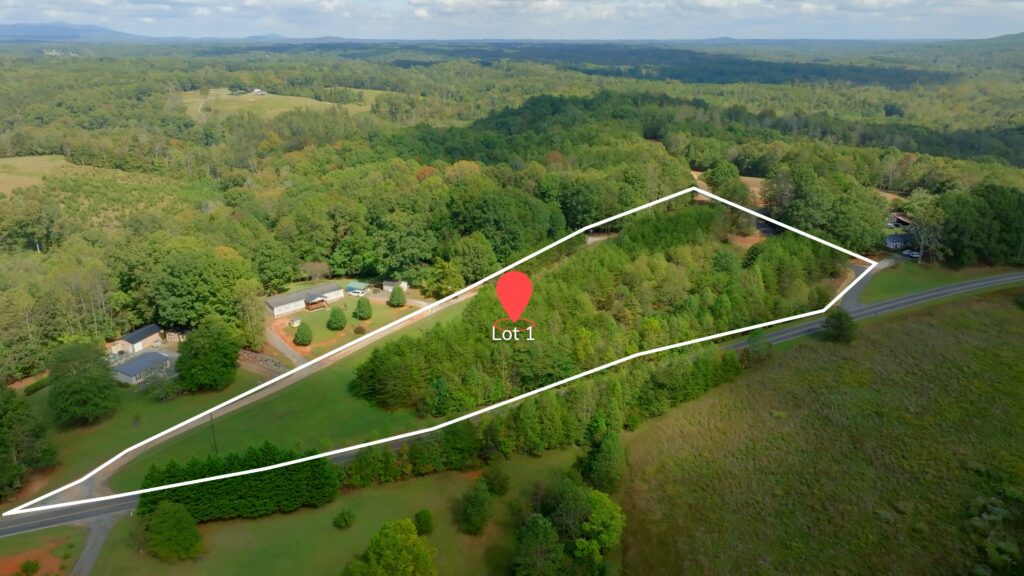
Description
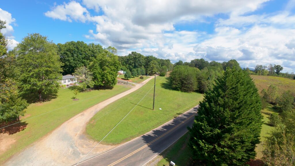
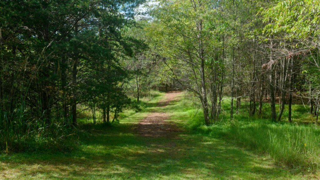
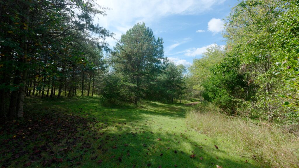
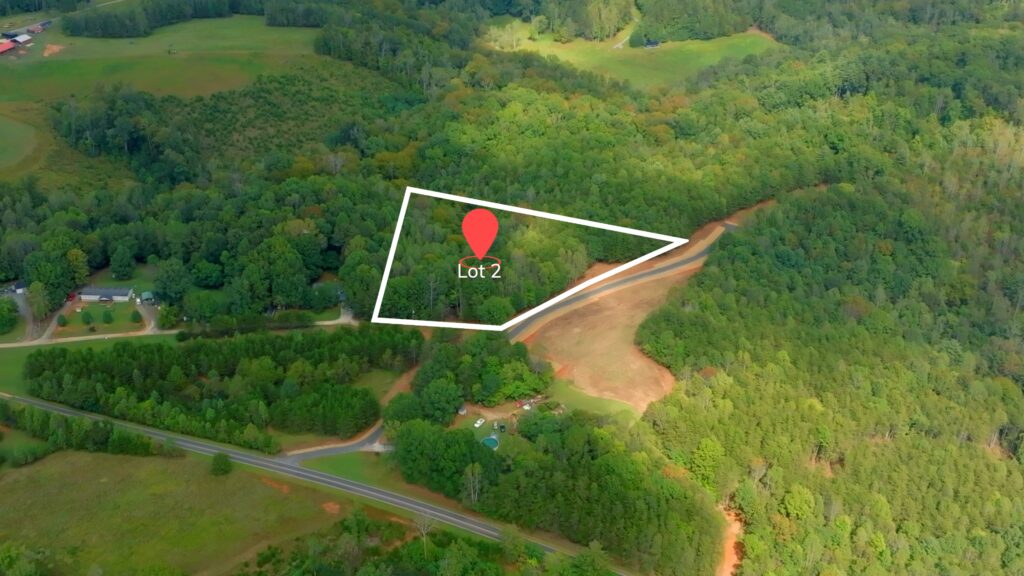
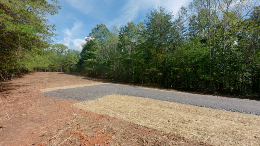
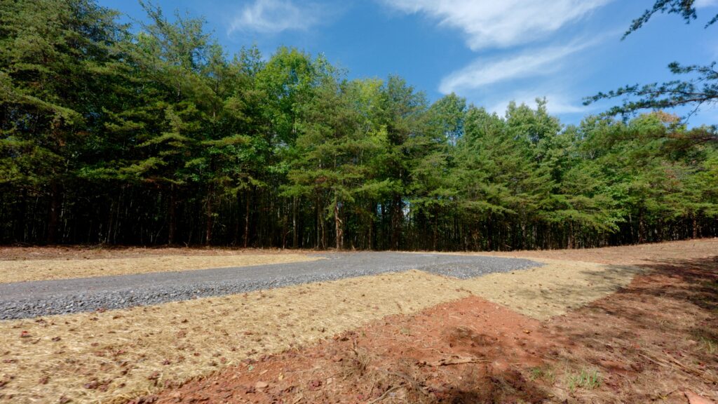
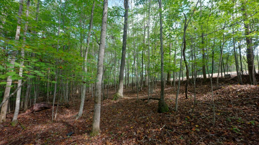
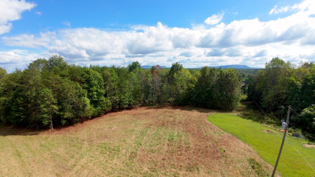
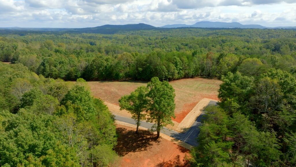
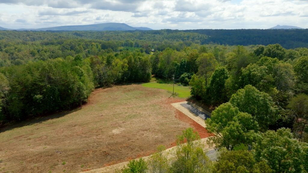
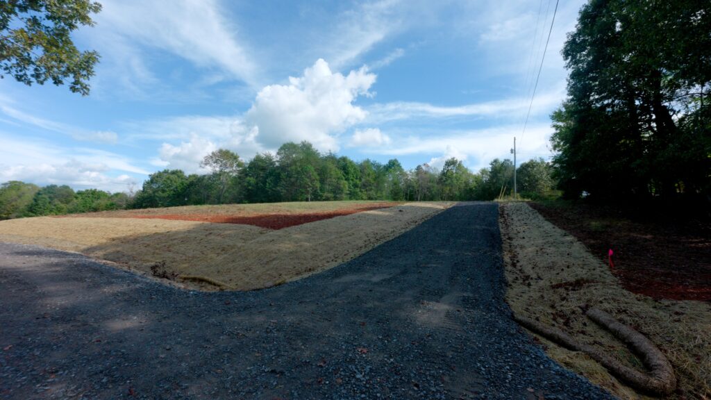
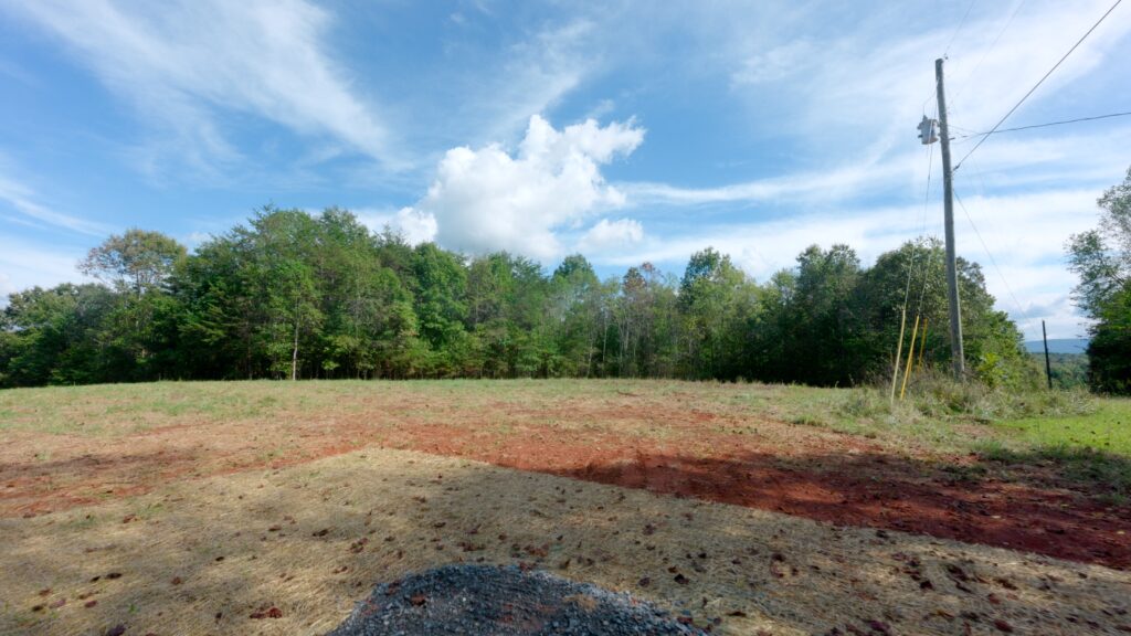
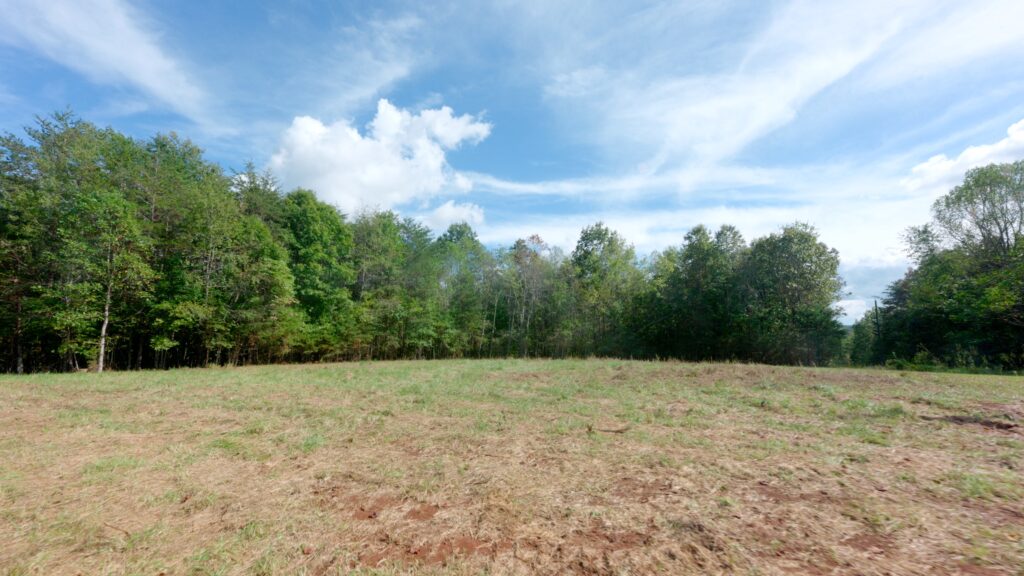
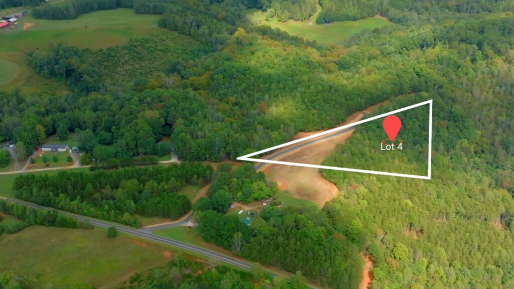
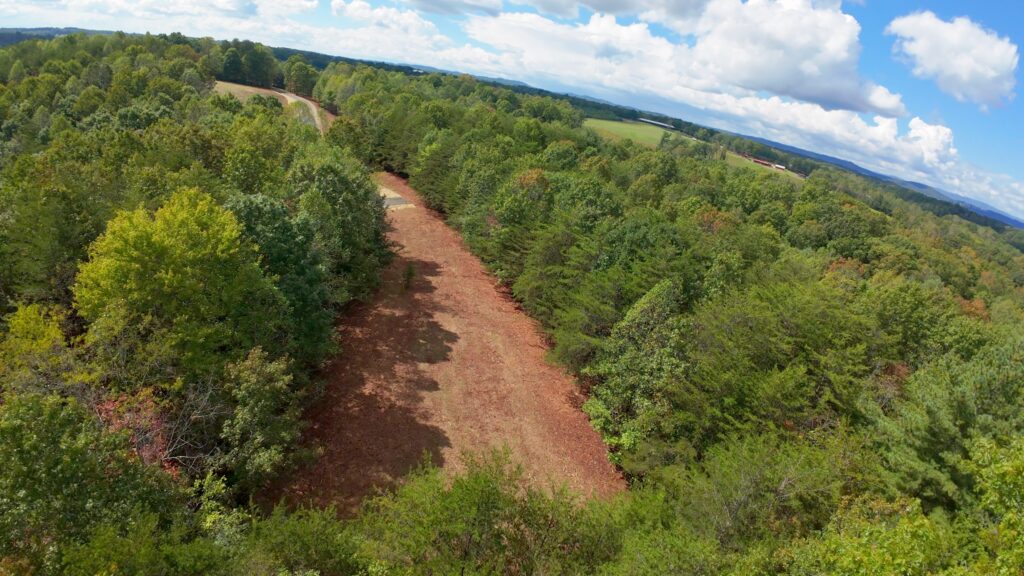
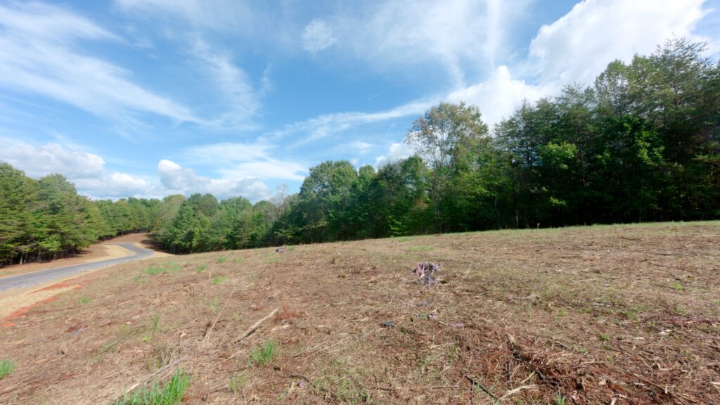
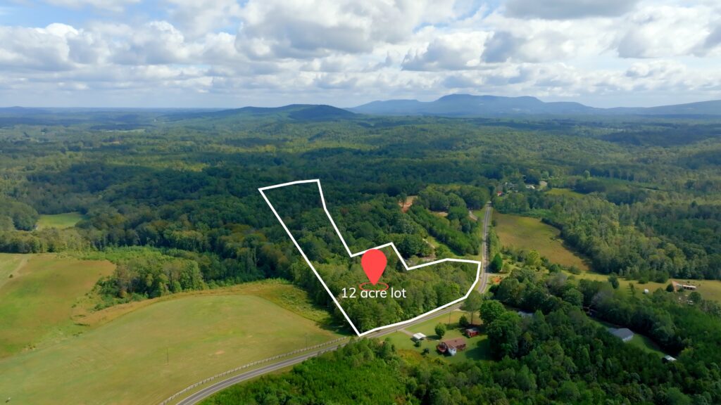
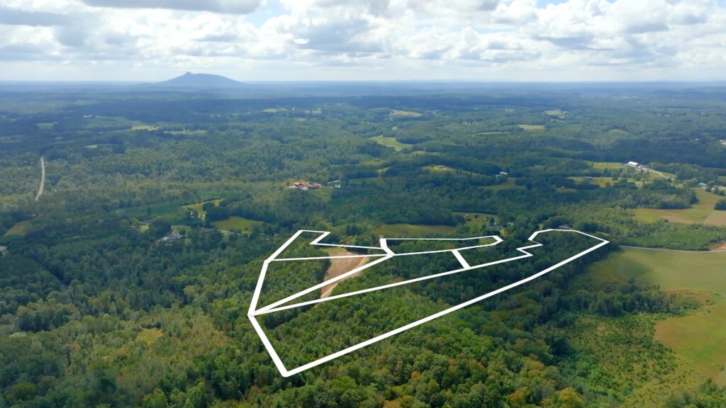
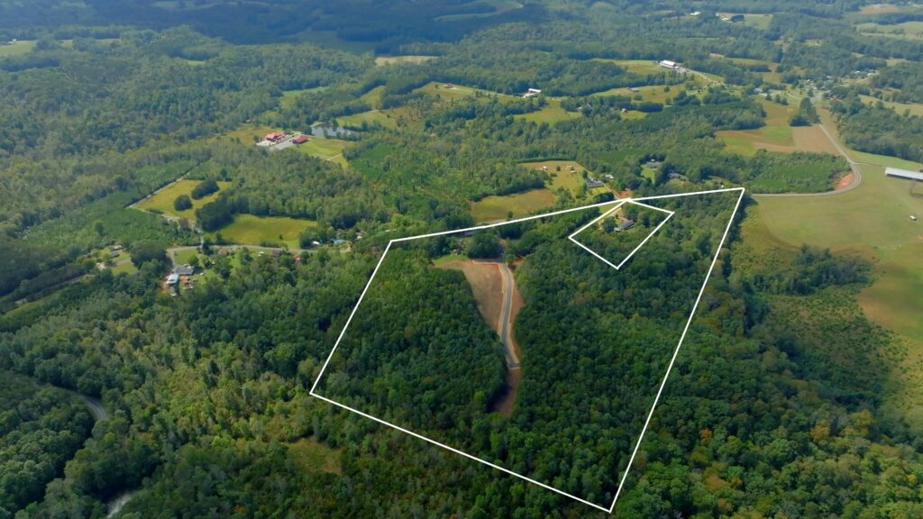
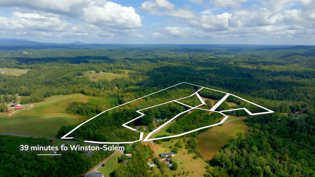
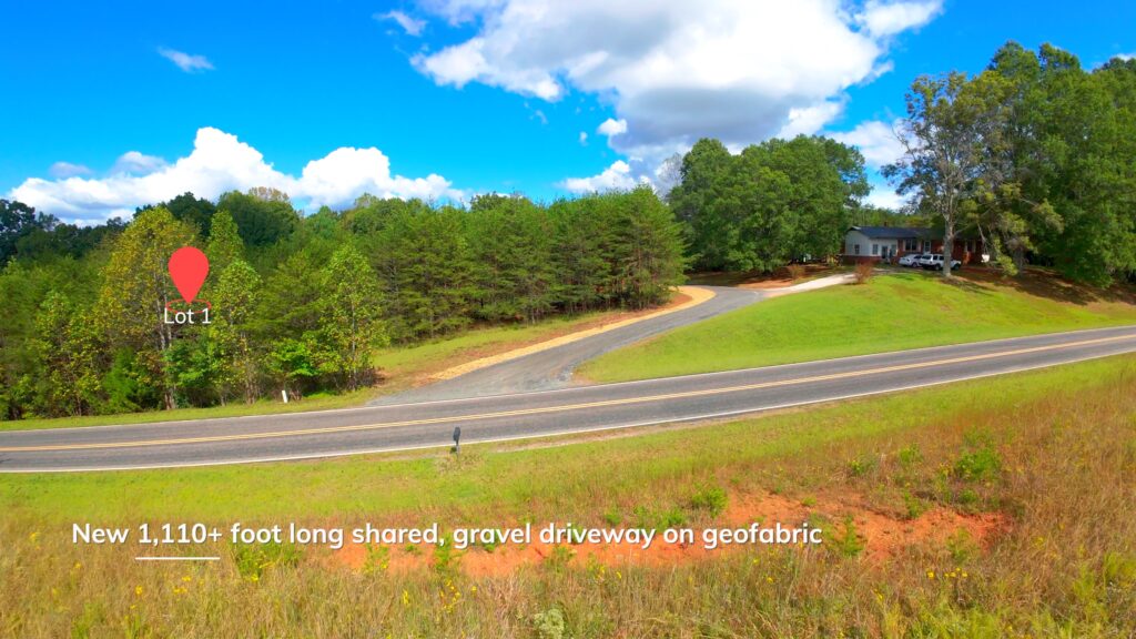
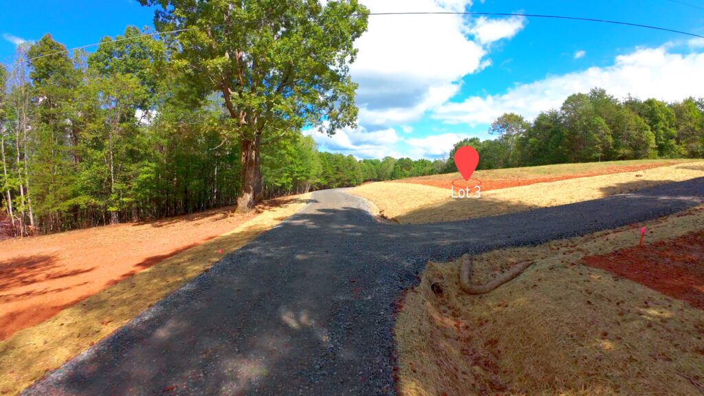
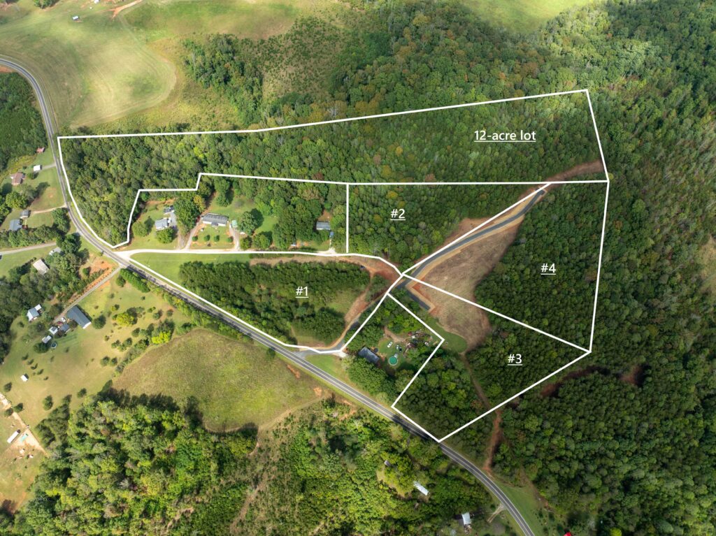
Five lots ranging from 4 to 12 acres each, with a mix of open space and woods. Quiet country setting. Recent soils evaluation confirms suitability for 4+ bedroom septic systems. A new 1,150-foot shared gravel driveway, built on geofabric for durability, provides access. Lots share a Road Maintenance Agreement. The only deed restriction is that lots cannot be subdivided further. New survey completed in 2025. Low county taxes at 0.796%
Property Video
(play full screen for best quality)
Uses
Single Family Residential, Mini Farm, Recreation
Parcel Information & Price
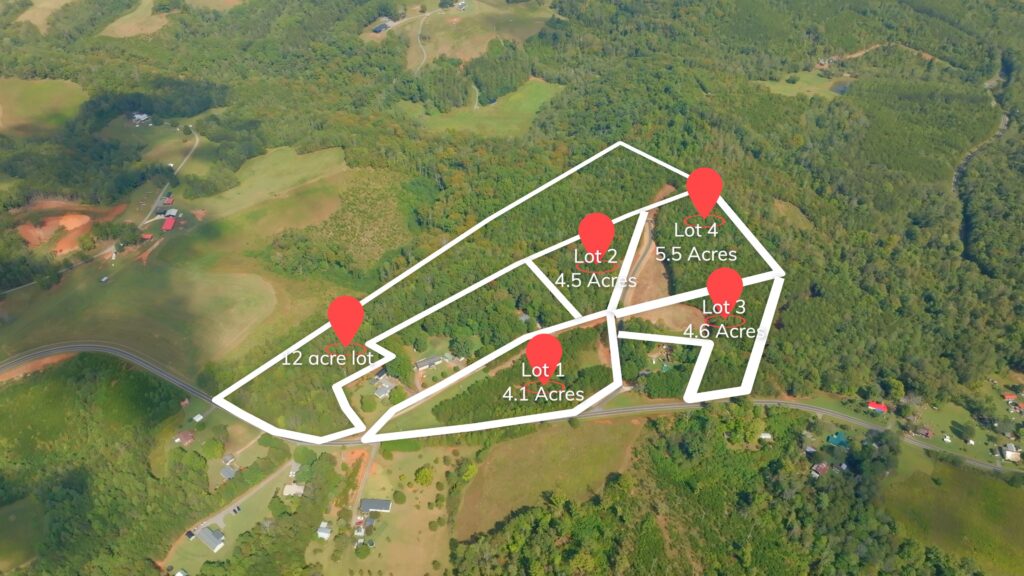
| Lot # | PIN | Size (acres) | Price | Status |
| 1 | 5989-53-7118 | 4.096 | $46,000 | Closed |
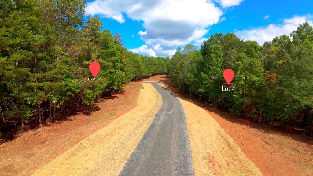
| 2 | 5989-63-1386 | 4.508 | $55,000 | Closed |
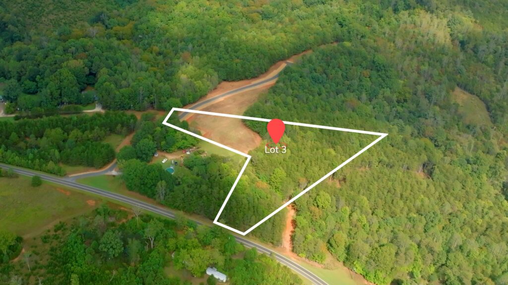
| 3 | 5989-62-3940 | 4.56 | $66,625 | Closed |
| 4 | 5989-63-6159 | 5.538 | $61,500 | Closed |
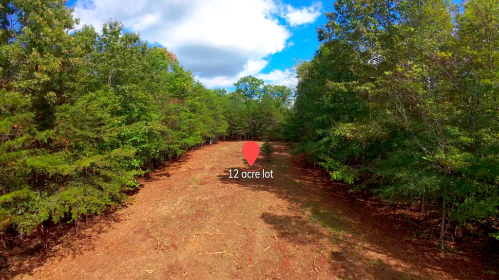
| 12-acre | 5989-63-1391 | 12.134 | $95,000 | Under Contract |
Seller Financing Terms
5% premium (on purchase price), 10% down payment, 10% interest, 5-year term, no prepayment penalty
Property Features
- 5 lots; 4 to 12 acres each
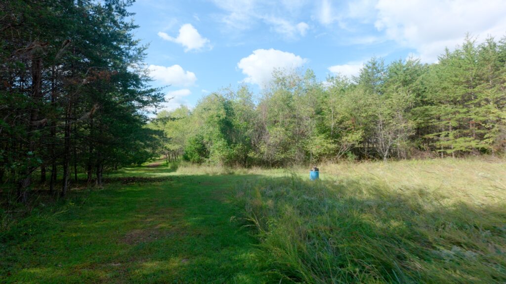
- Each lot is part open + part wooded
- Quiet country setting
- Recent soils evaluation – Soils suitable for 4+ bedroom septic systems
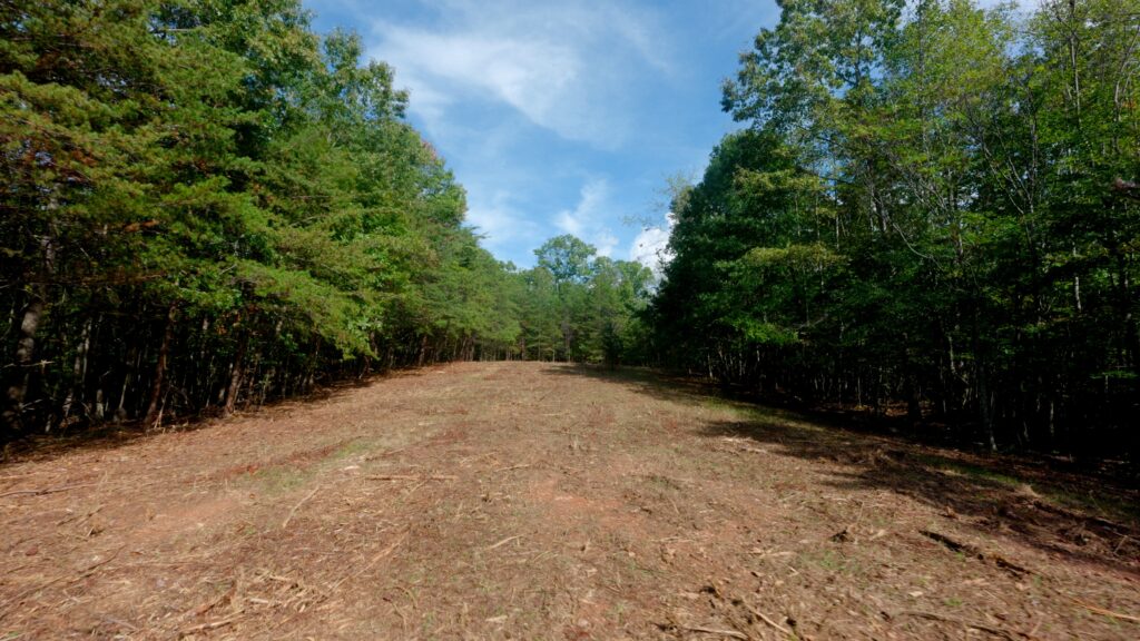
- New 1,150 foot long shared gravel driveway built on top of geofabric to withstand heavy traffic
- Shared Road Maintenance Agreement
- Only 1 Deed Restriction: Lots cannot be further subdivided
- New 2025 survey
- Low county 0.796% property taxes
Distances
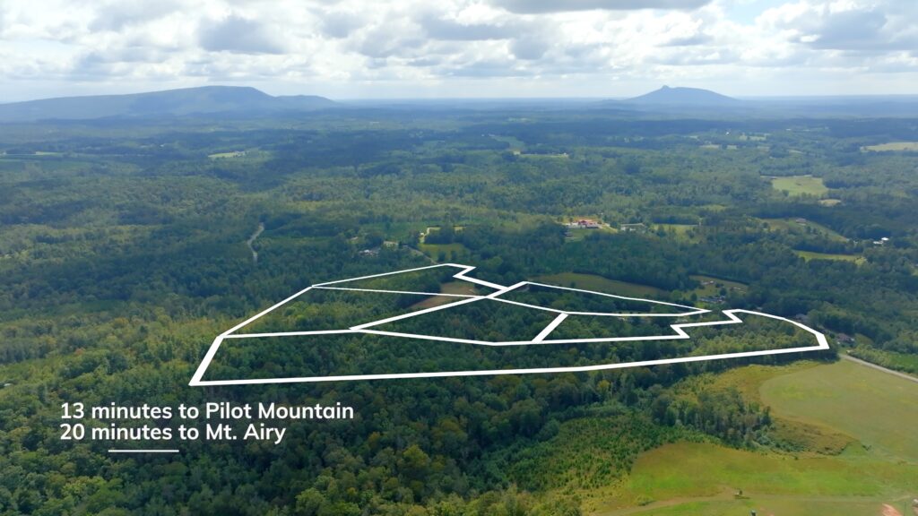
- Pilot Mountain, NC: 13 miles
- Mount Airy, NC: 17 miles
- King, NC: 21 miles
- Winston-Salem, NC: 30 miles
- Pilot Mountain State Park: 13 miles
- Hanging Rock State Park (Danbury, NC): 15 miles
Property Maps & Attachments (click to access)
- Aerial Map with Contours
- Topography Map
- Location Map
- Google Map
- Survey Plat Map
- Survey with Shared Driveway Illustration
- Road Maintenance Agreement
- Soils Evaluation Report
- Soils Evaluation Report’s Map
Directions & Coordinates
From NC 89 Highway, head south on Dearmin Road 1.1 miles and turn left at neighbor 1567 Dearmin Road Westfield, NC 27053. Use the interactive map (link above) from your smartphone in order to navigate the lots. You must download the free Land ID app in order to see where you stand on the map.
Entrance Coordinates 36.4708, -80.4063
Property Photographs


Contact
JOHN SHIPLEY
336-497-0749
info@theshipleyco.com
DISCLAIMER:
Information taken from reliable sources and thought to be correct. Potential buyers should perform their own due diligence and verify all information.
5 lots, 4-12 acres Stokes Co. NC