Description
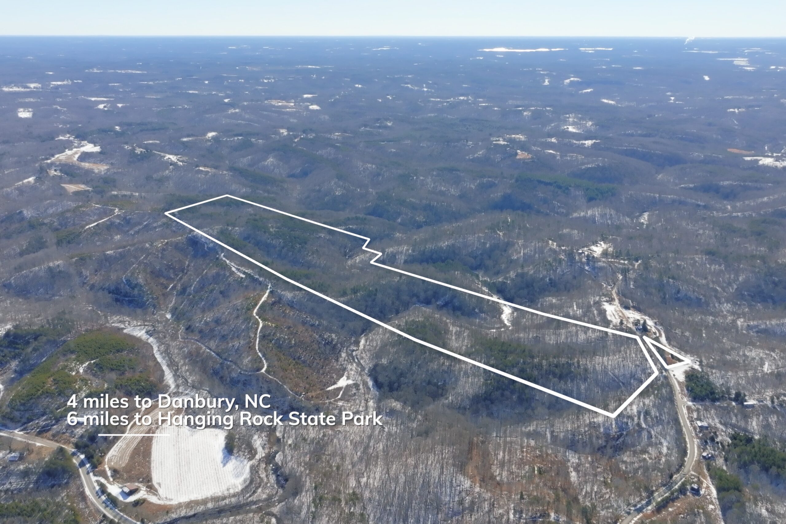
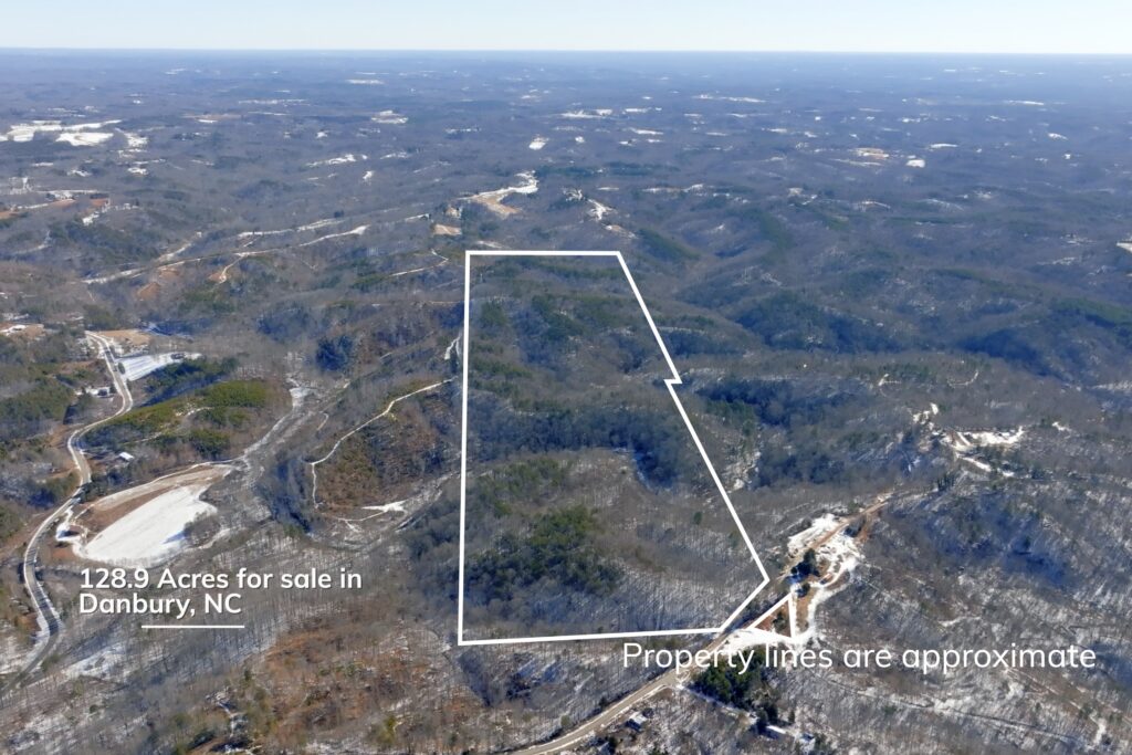
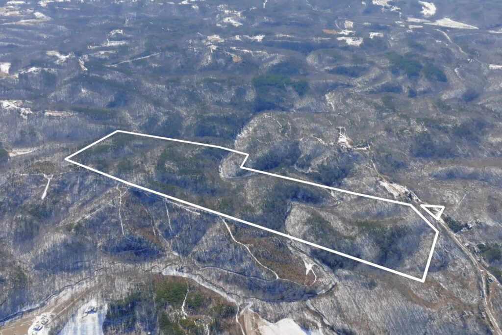
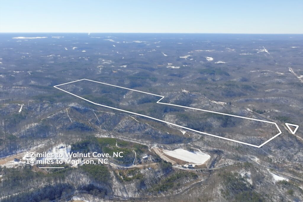
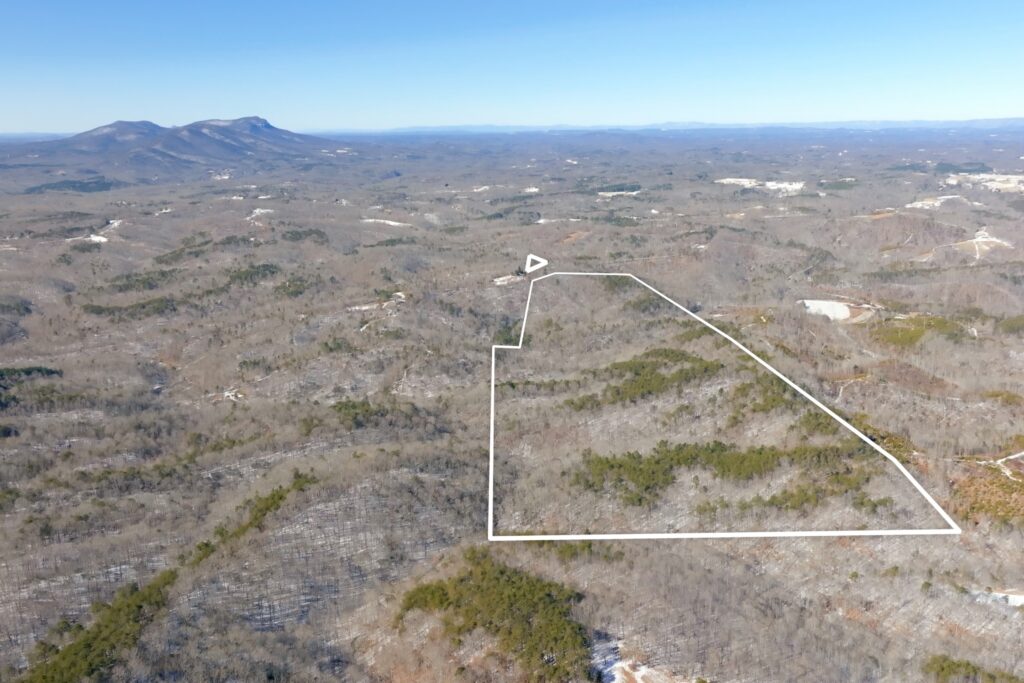
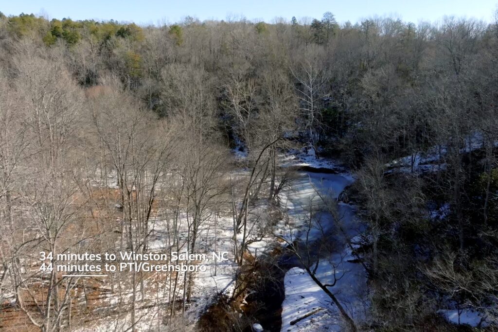
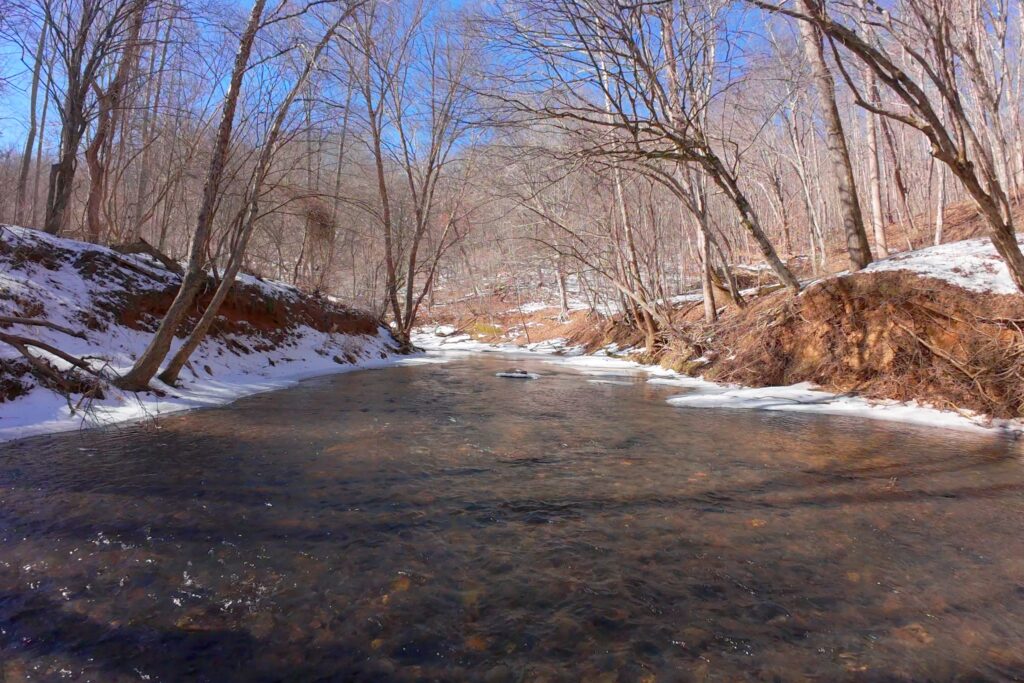
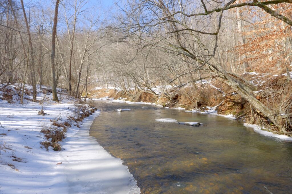
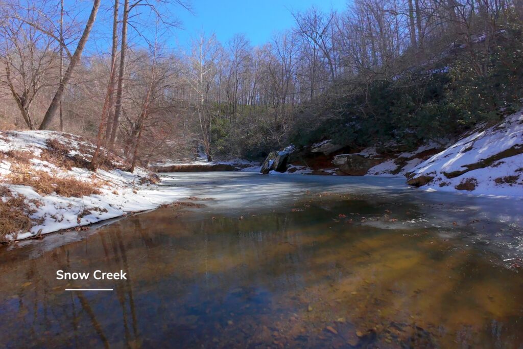
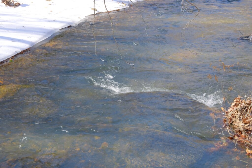
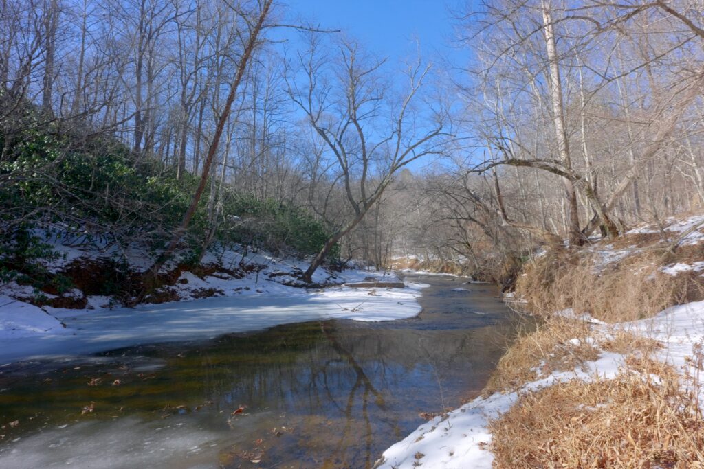
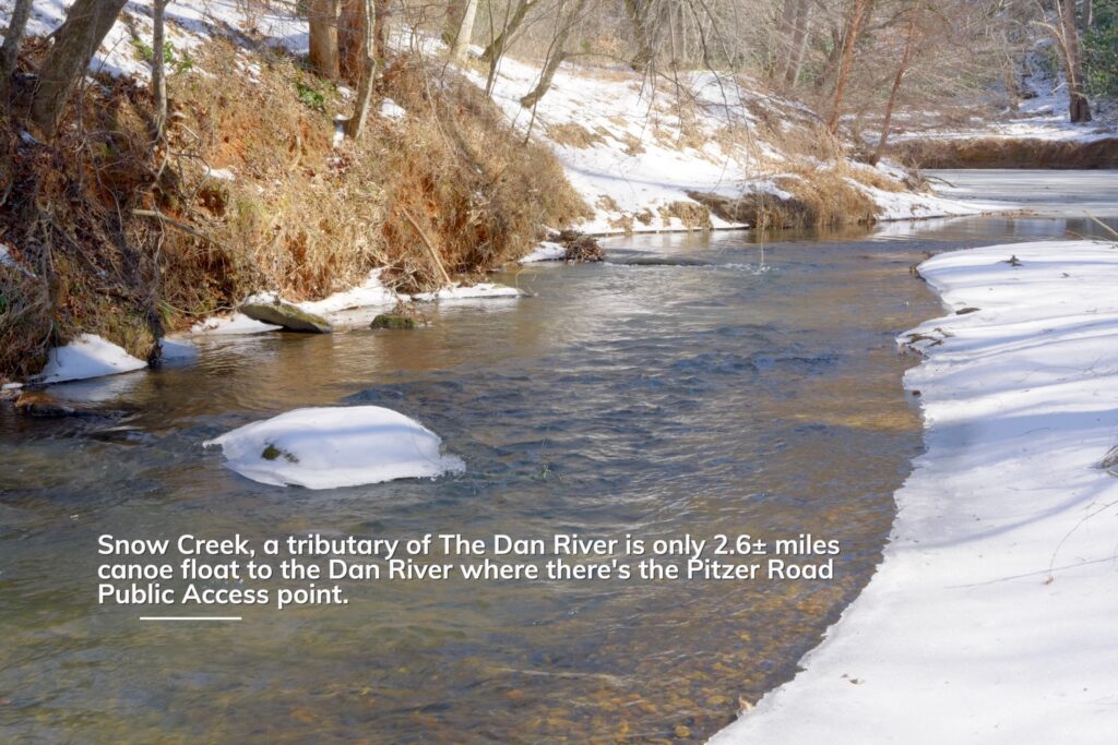
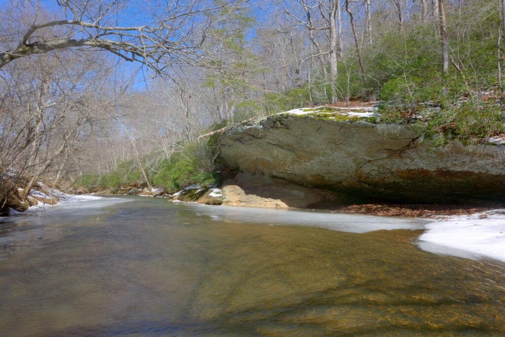
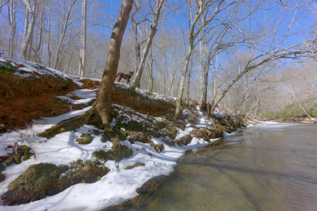
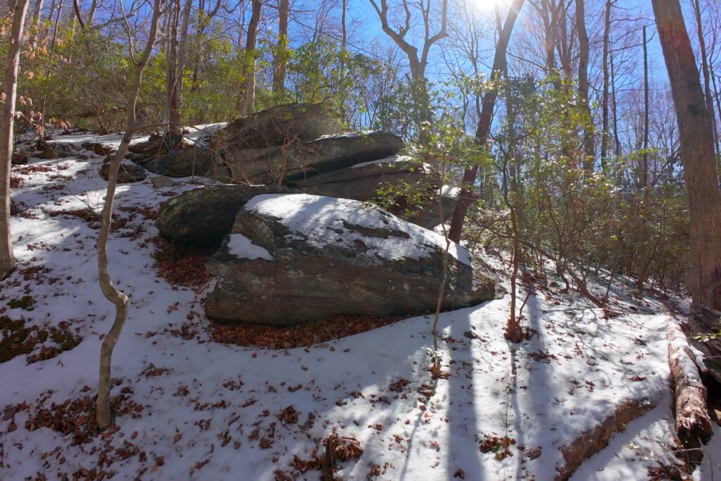
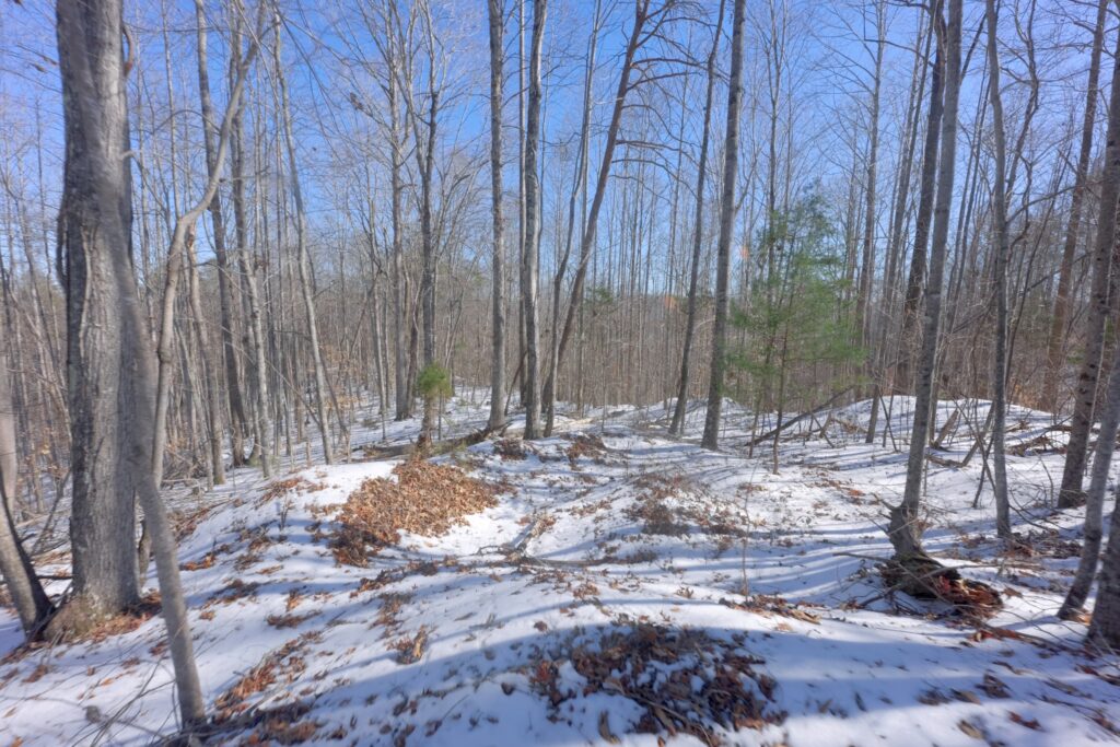
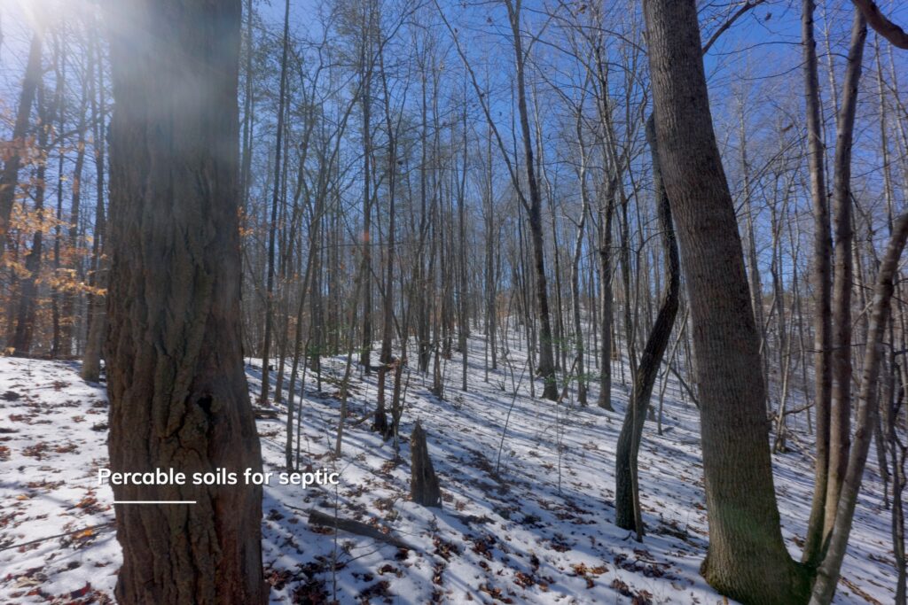
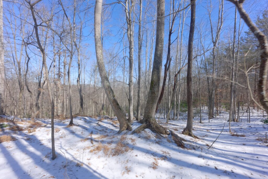
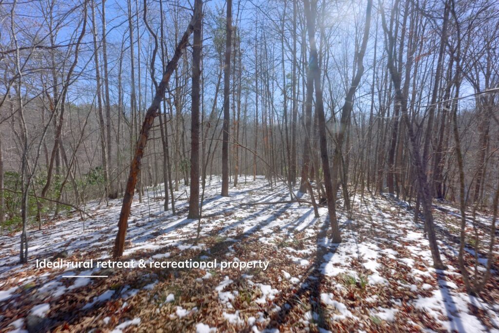
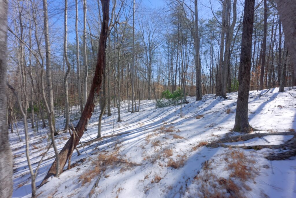
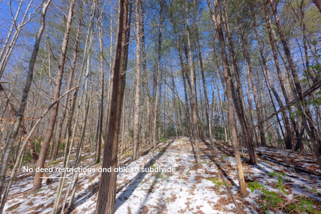
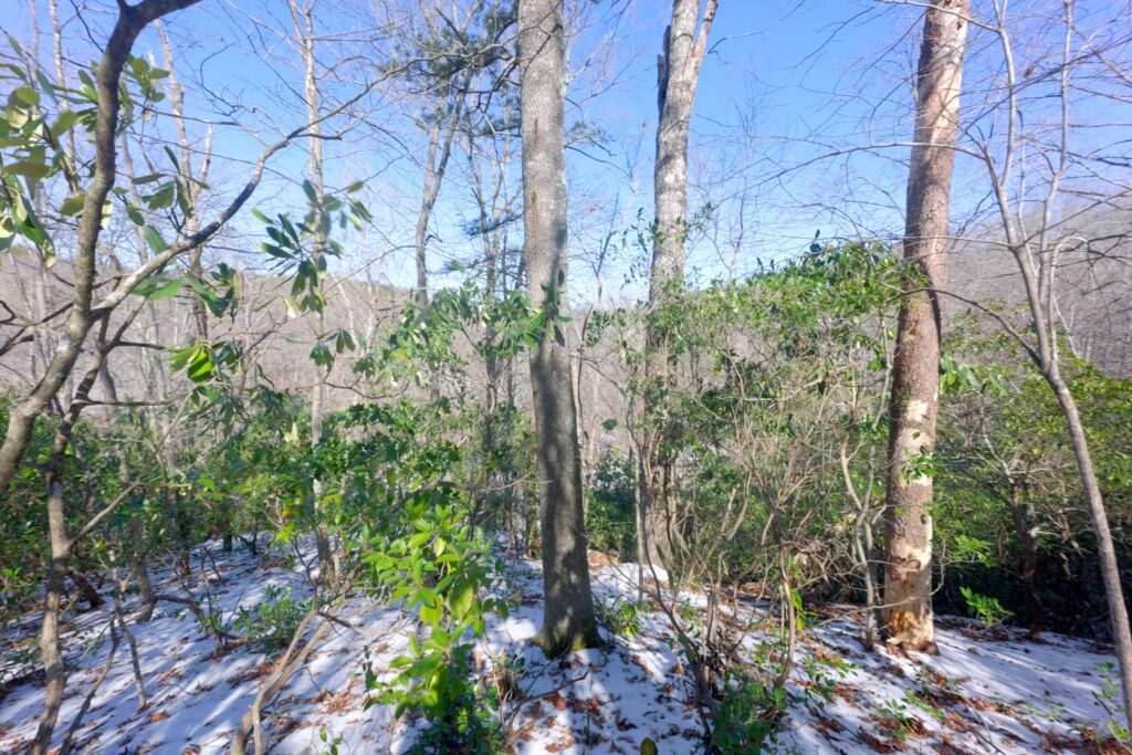
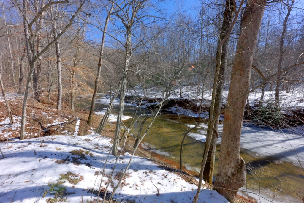
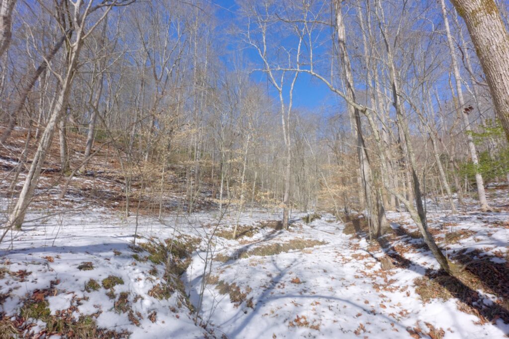
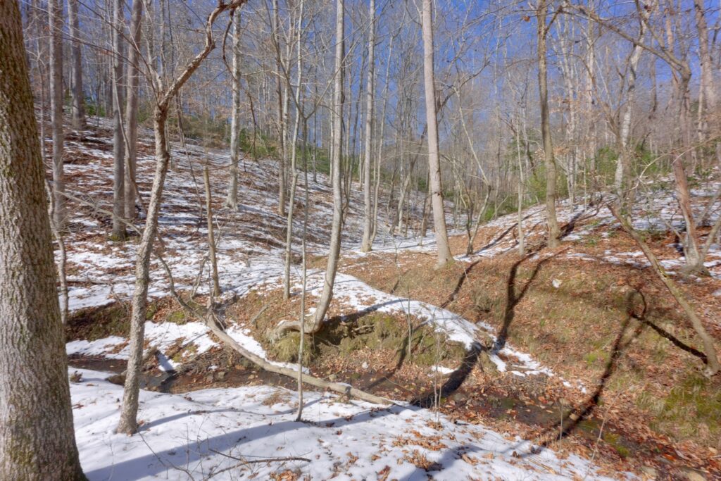
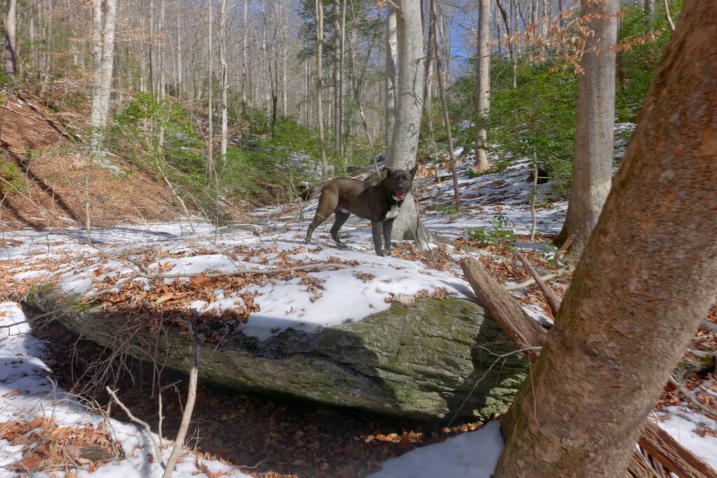
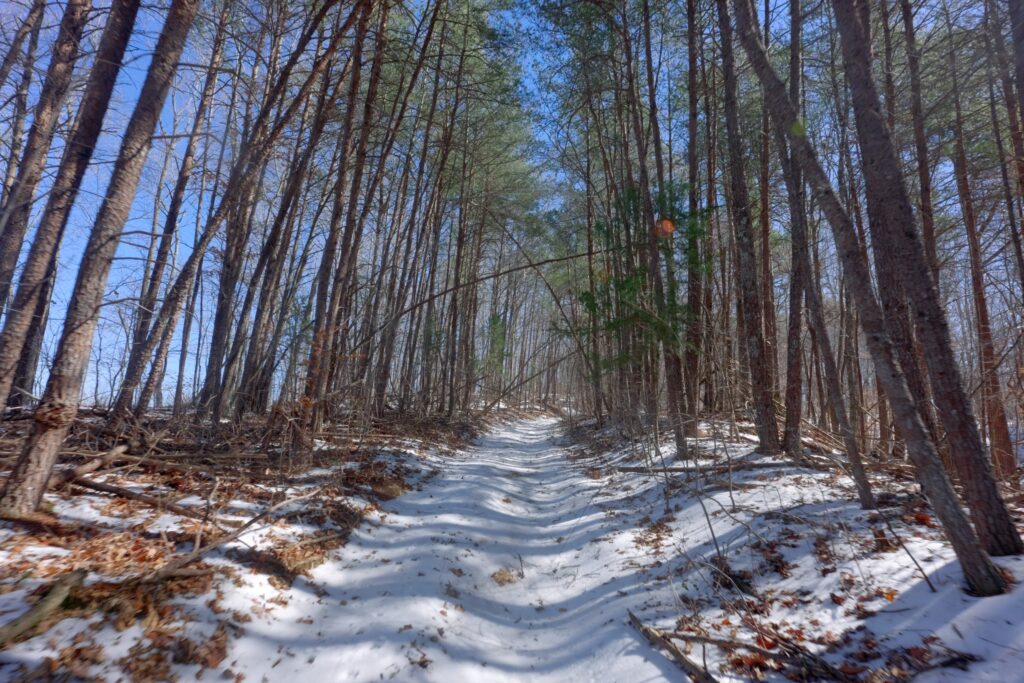
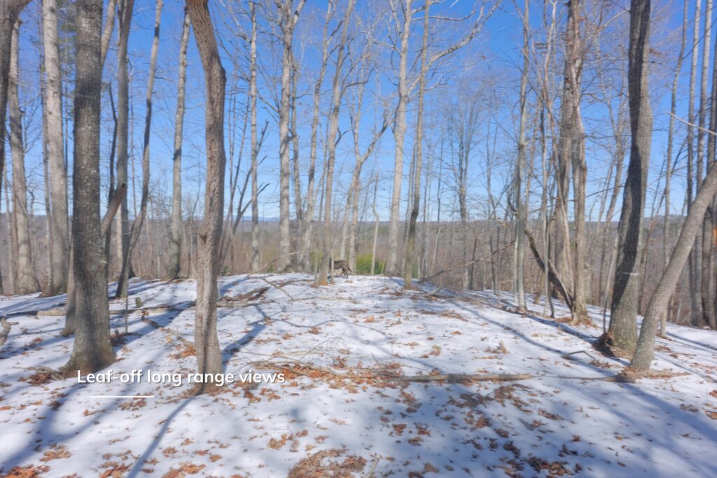
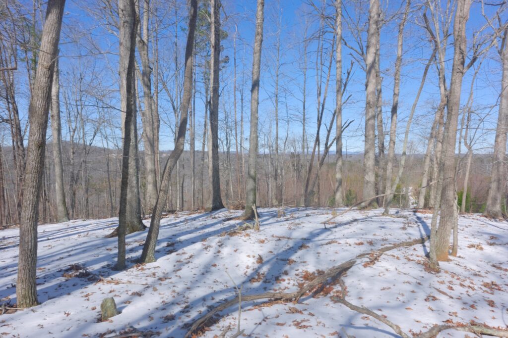
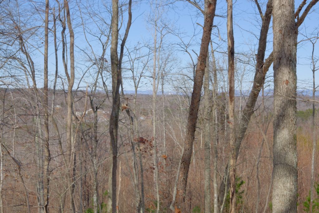
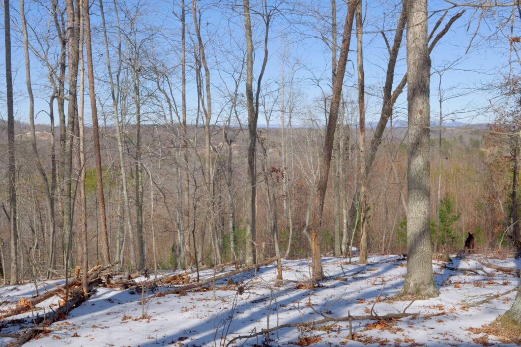
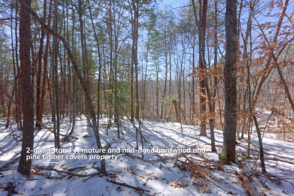
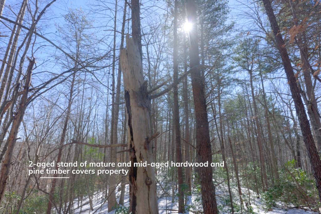
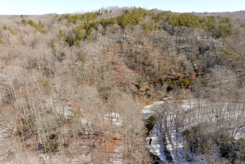
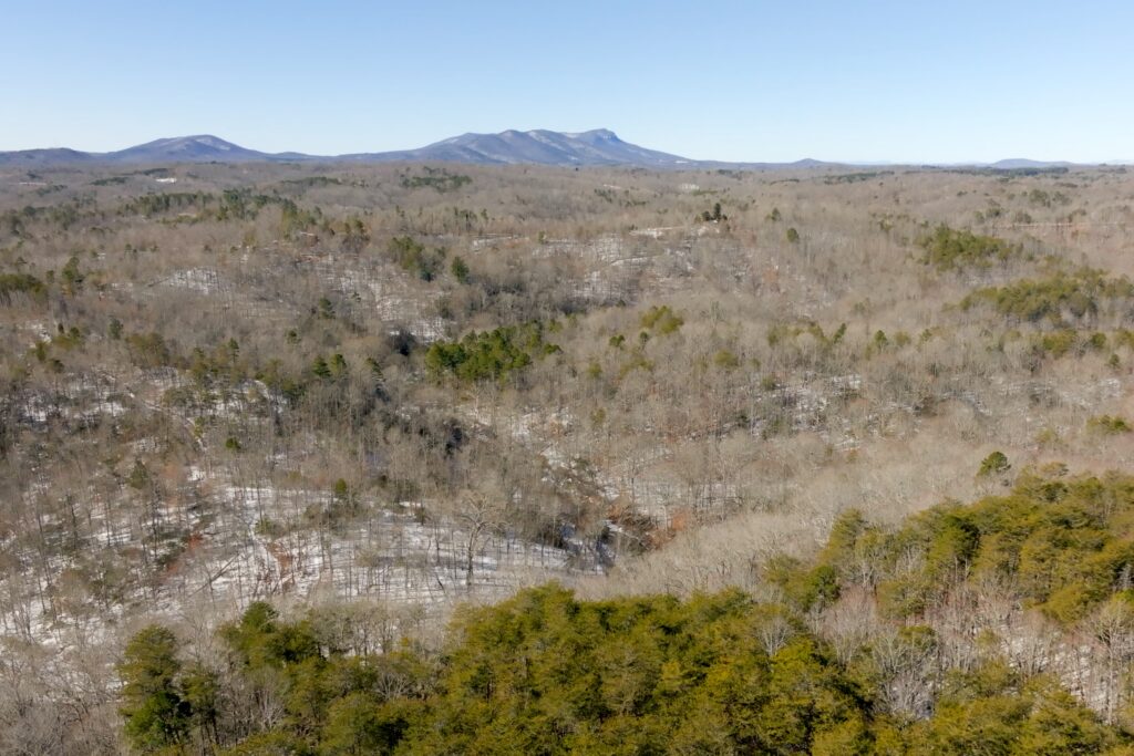
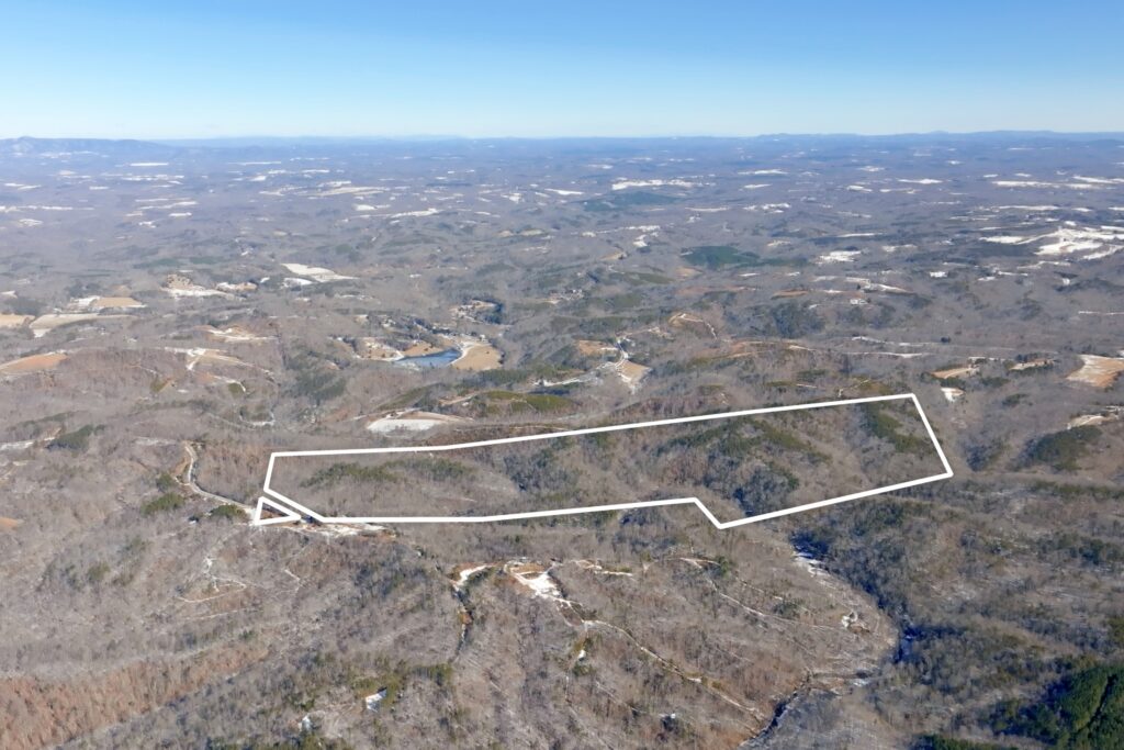
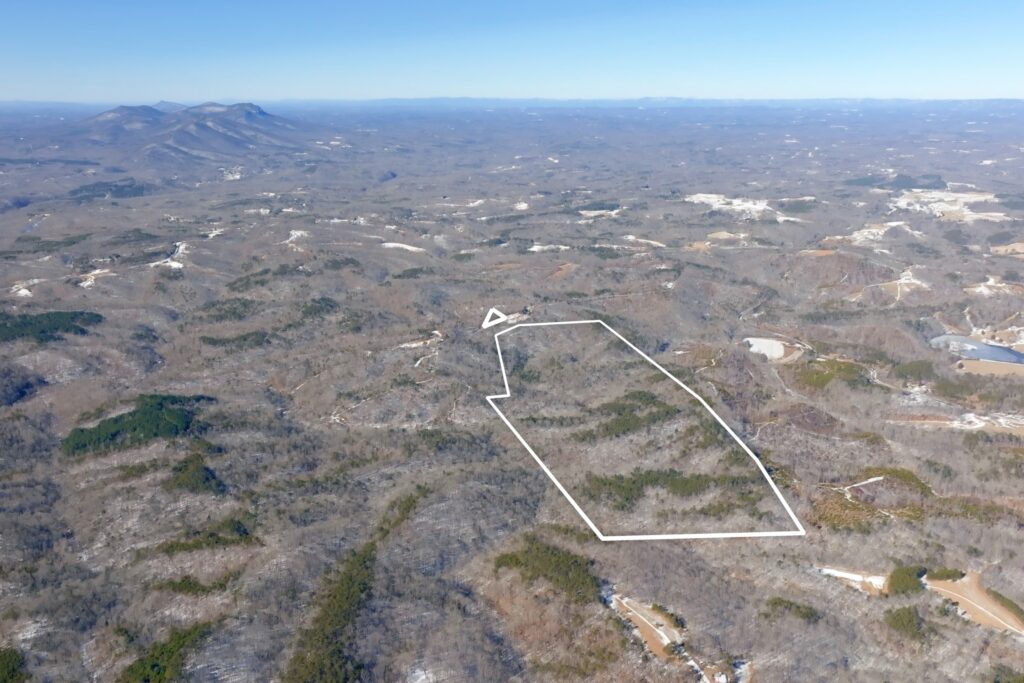
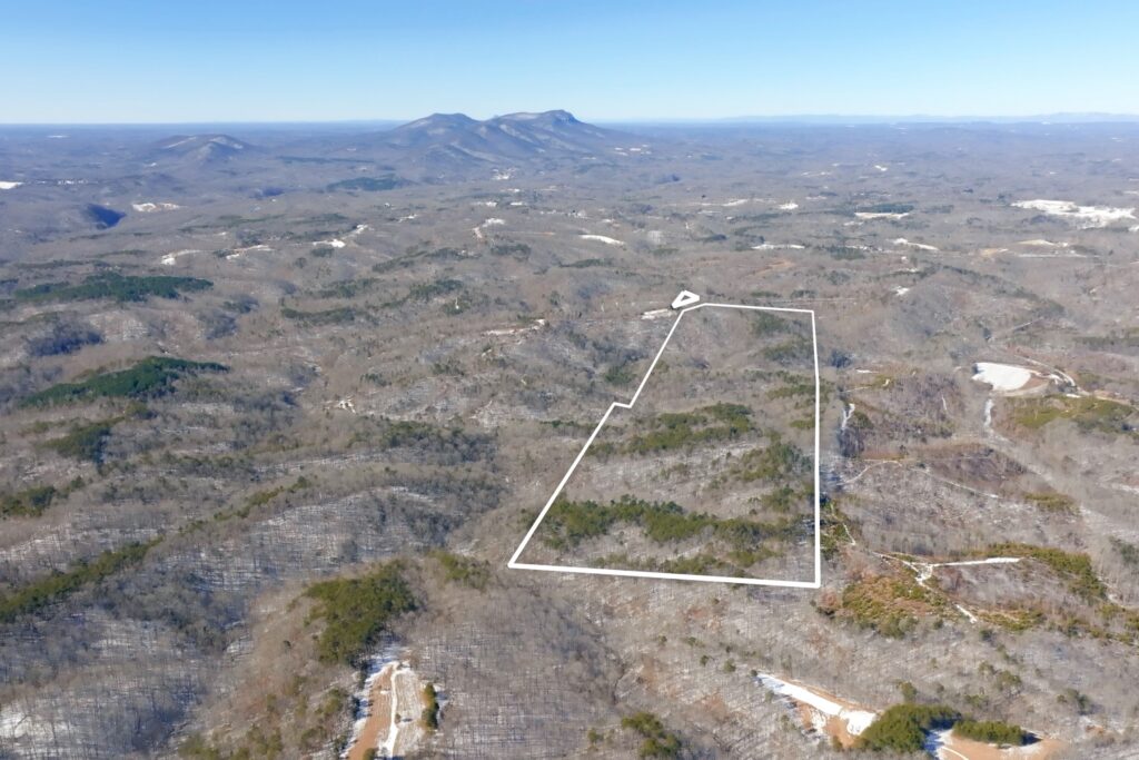
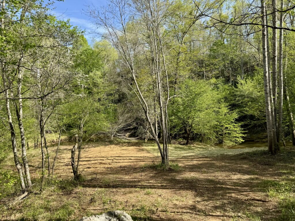
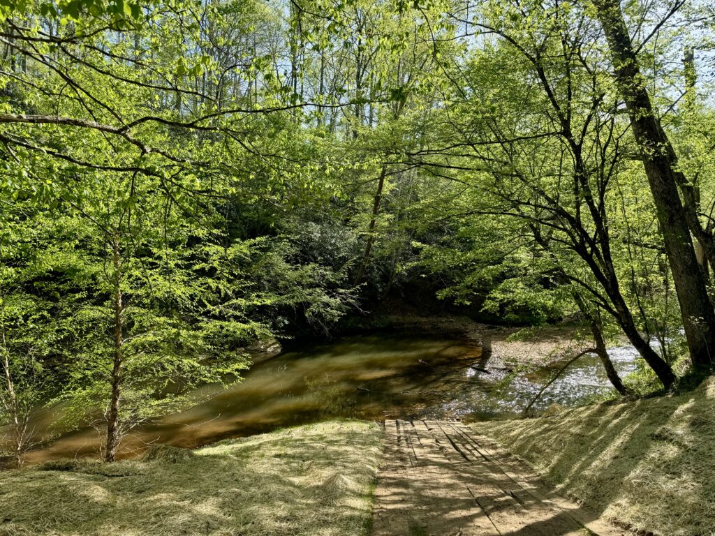
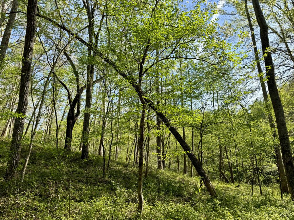
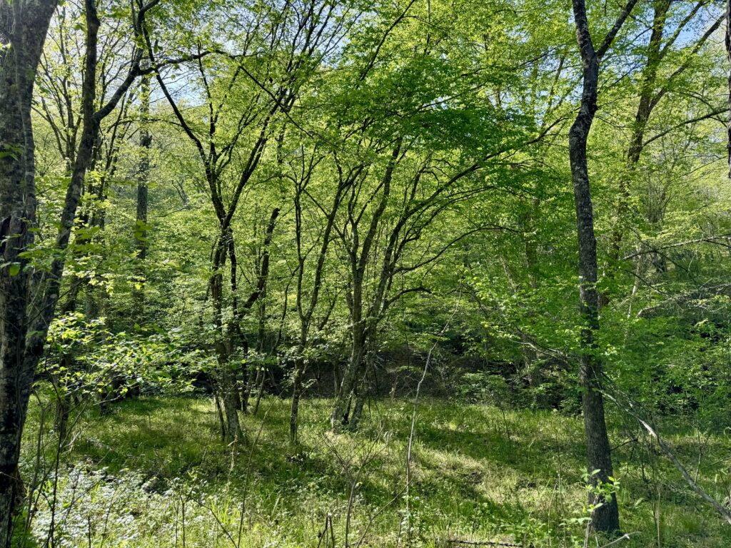
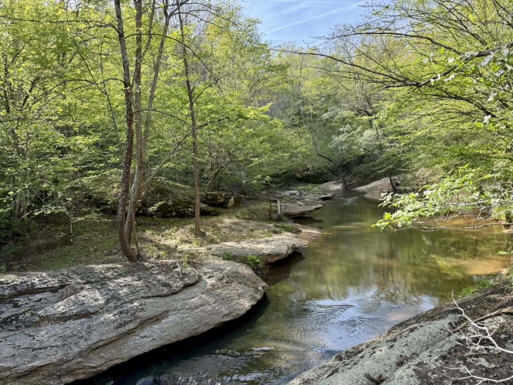
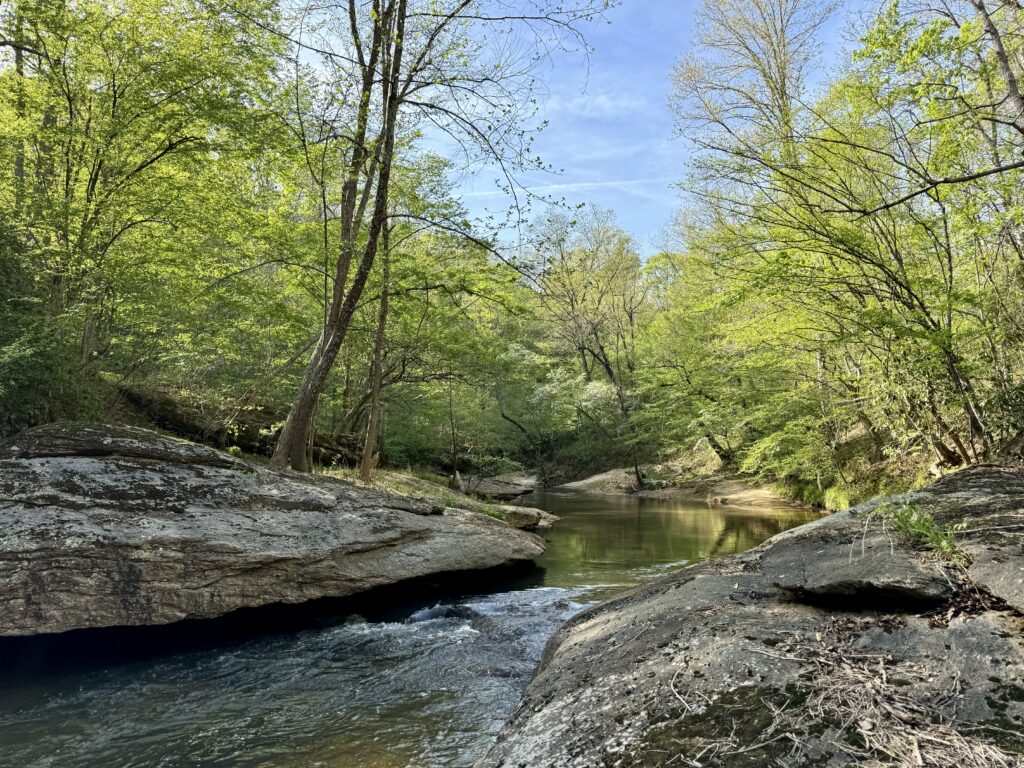
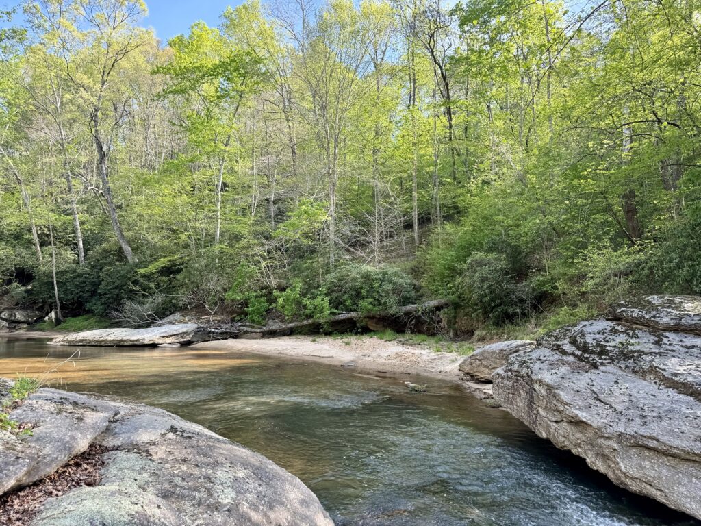
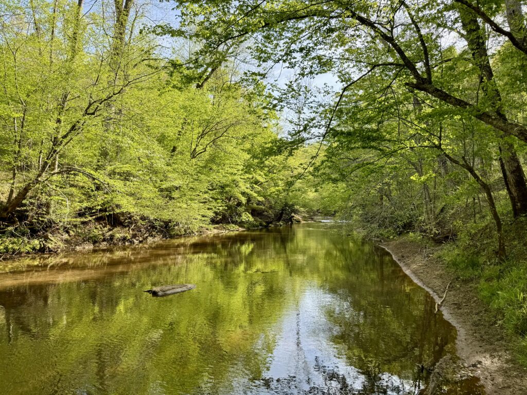
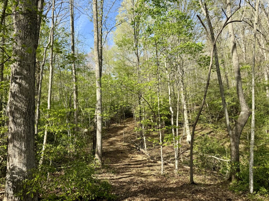
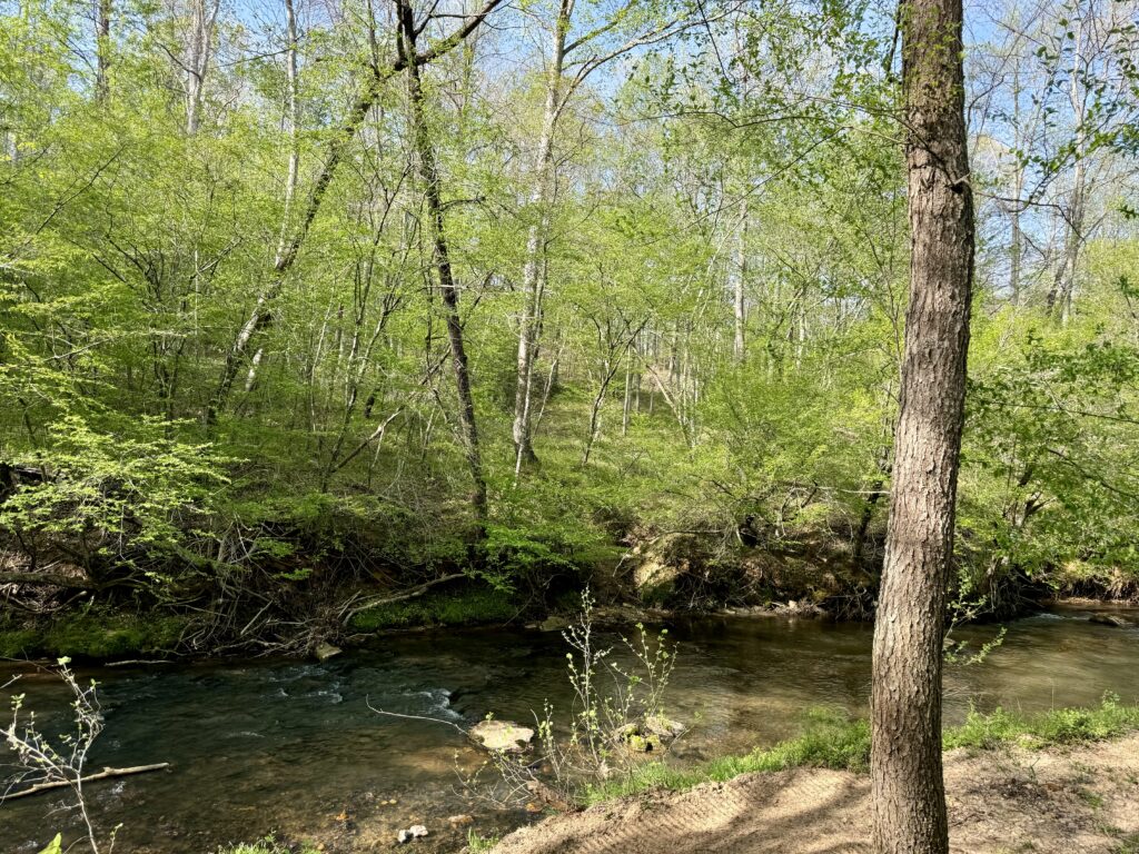
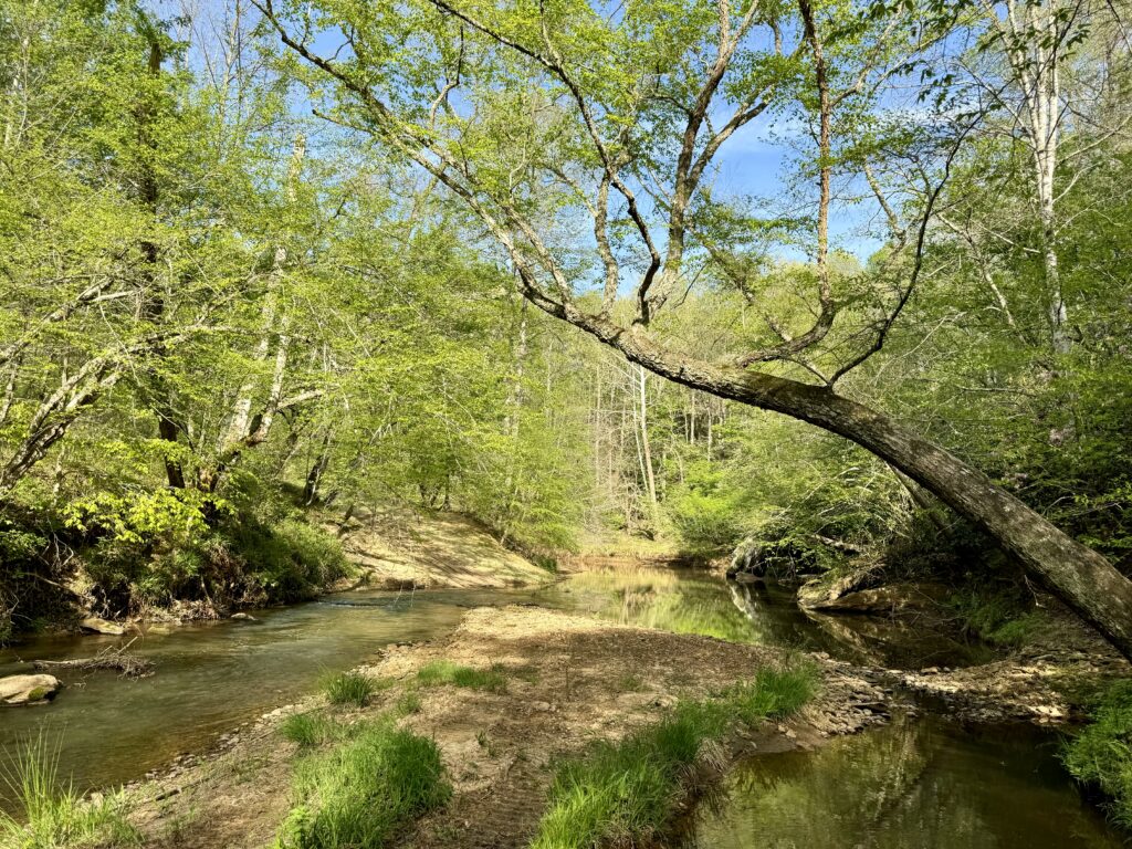
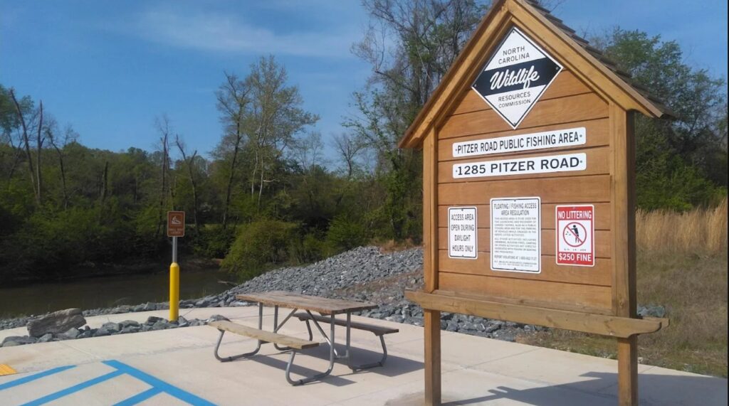
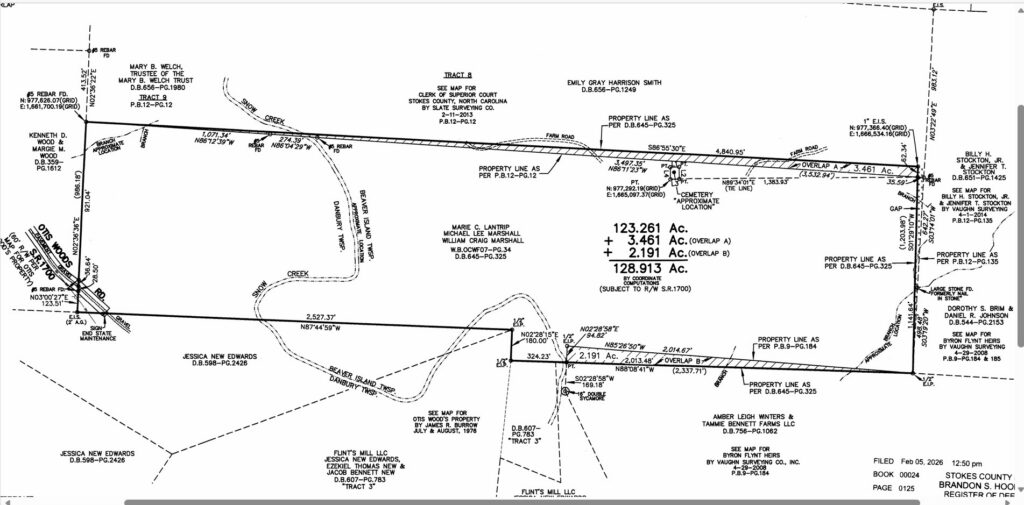
128.9-acre property features double-sided frontage on Snow Creek, a tributary of the Dan River, and a mix of mature and mid-aged hardwood and pine timber. The land offers leaf-off long-range views, giant rock outcrops, and 8+ foot deep swimming holes along the creek. Snow Creek also provides smallmouth bass fishing and supports deer, turkey, and black bear for hunting. The property includes over 2 miles of established ATV and side-by-side trails and sits just a 2.6± mile float from the Dan River and the Pitzer Road Public Access point. A new 2026 survey confirms 128.9 acres with percable soils, no deed restrictions, and subdivision permitted. County property taxes are under $500 per year. Located just 4 miles from Danbury, 6 miles from Hanging Rock State Park, and 34 minutes from Winston-Salem, this tract offers a blend of recreation, privacy, and development potential. Agent owned
Property Video
(play full screen for best quality)
Uses
Single Family Residential, Recreation, Farming, Forest Production
Parcel Information & Price
| Parcel PIN # | Size (acres) | Price | Status |
| 6967-46-2996 | 128.9 | $575,000 | Available |
Property Features
- Power available
- New Survey
- Giant rock outcrops
- 8+ foot deep swimming holes in Snow Creek
- Snow Creek offers smallmouth bass fishing
- Habitat for deer, turkey, and black bear
- 2+ miles internal trail system
- Mature- and mid-aged hardwoods and natural pine forests
- Multiple future building sites
- Spring creeks
- Percable soils
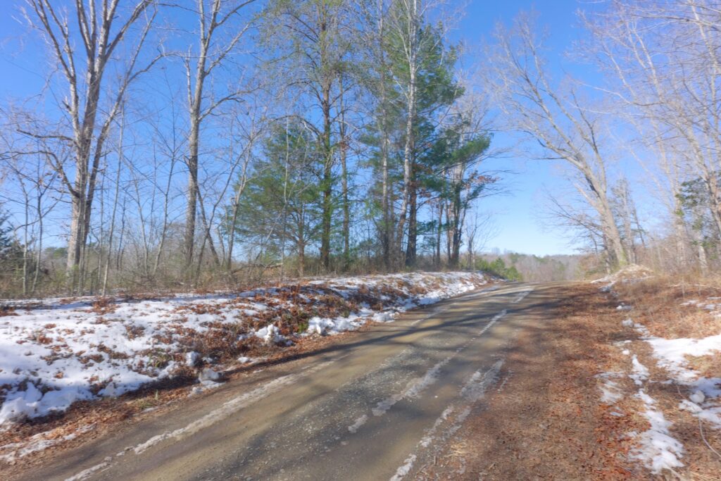
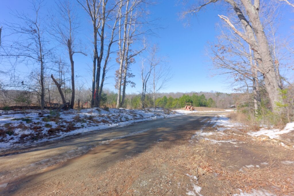
- Public road frontage
- No deed restrictions
- Low county tax rate: 0.71%
- Leaf-off long-range views; year-round potential with clearing
- Quiet country setting
- No home owner’s association
Distances
- 4 miles to Danbury, NC
- 6 miles to Hanging Rock State Park
- 34 minute drive to Winston Salem, NC
Property Maps & Attachments (click to view)
- Aerial Map
- Tax Aerial
- Vintage Topo Map
- Explore Map
- Aerial with Contours Map
- Location Map
- Google Map
- Survey
- Disclosures
Directions & Coordinates
From Phillips Road, turn on Otis Woods Road and continue 0.4 miles to property located at the dead end of public maintenance. Please be sure to use interactive map (above) from your smart phone to navigate with the free Land ID app. You must download the free Land ID to see where you stand on the interactive map.
Entrance Coordinates 36.4289, -80.1509
Property Photographs


Contact
JOHN SHIPLEY
336-497-0749 (o)
info@theshipleyco.com
DISCLAIMER:
Information taken from reliable sources and thought to be correct. Potential buyers should perform their own due diligence and verify all information.
128.9 acres Stokes Co, NC