
Description
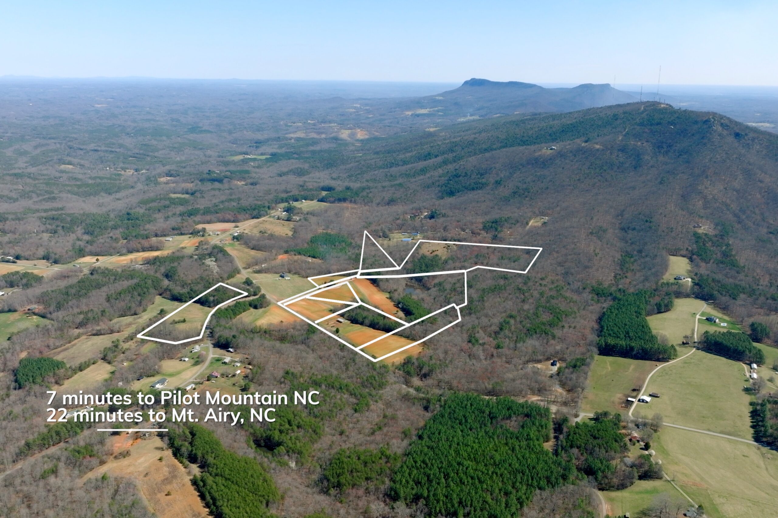
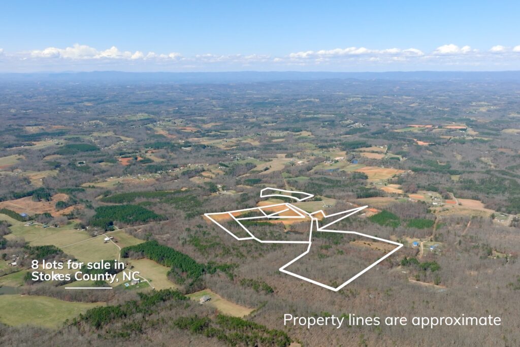
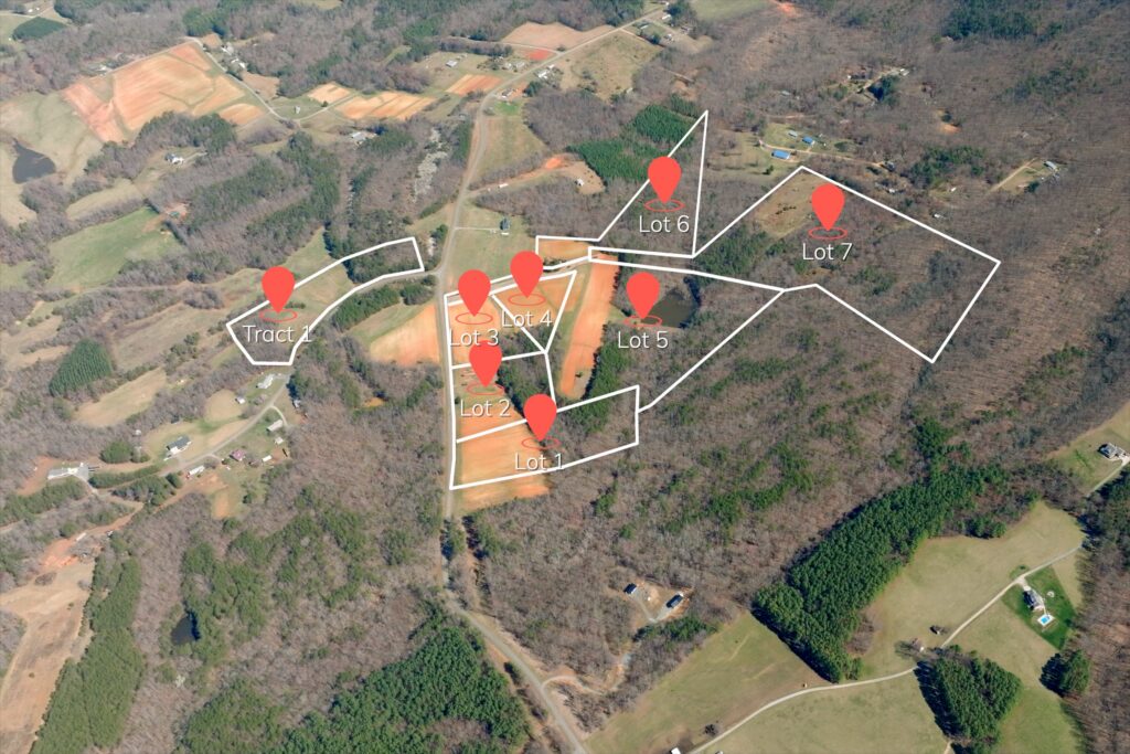
Properties of this caliber are incredibly rare in Stokes County. Enjoy peaceful country living on this beautiful 8-lot, 90-acre assemblage located in the Pinnacle community of Stokes County, North Carolina.
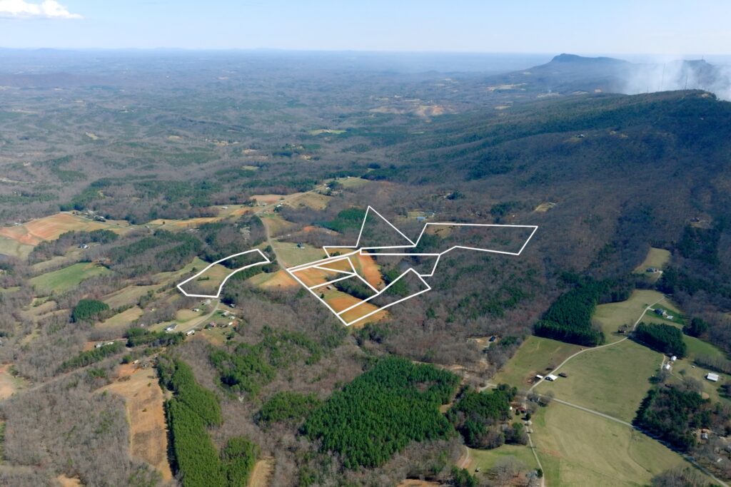
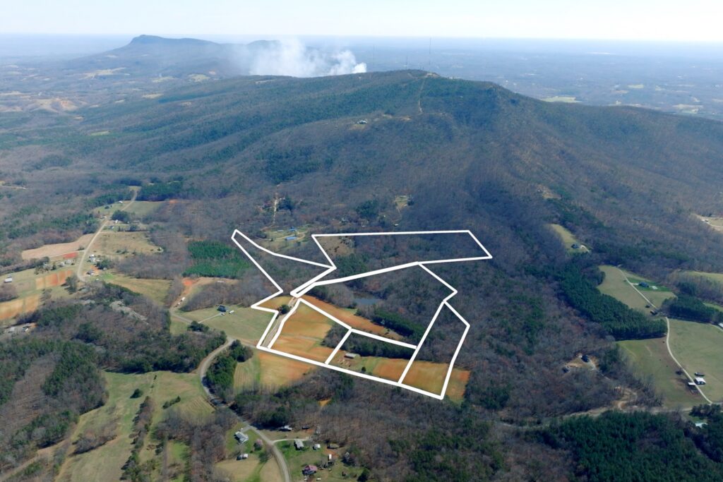
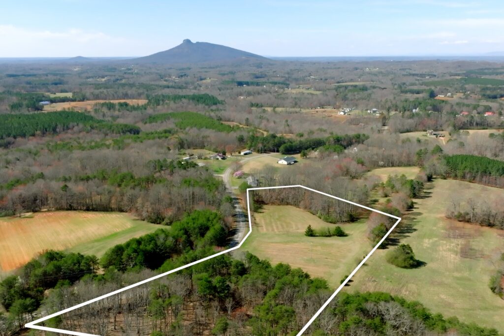
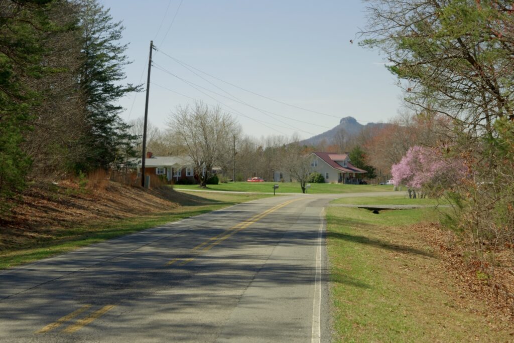
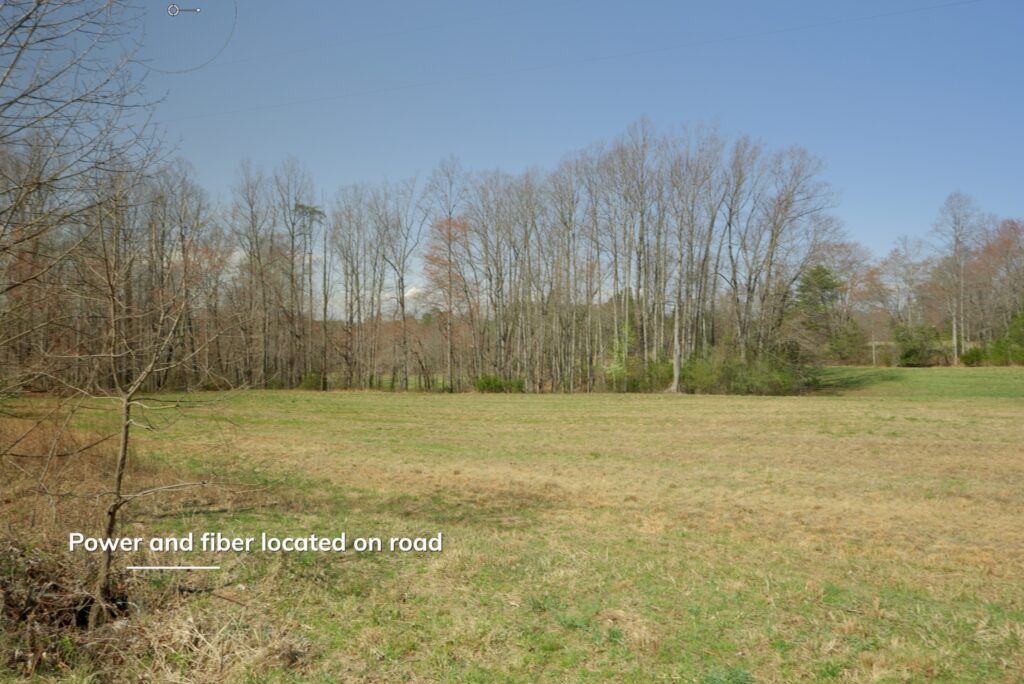
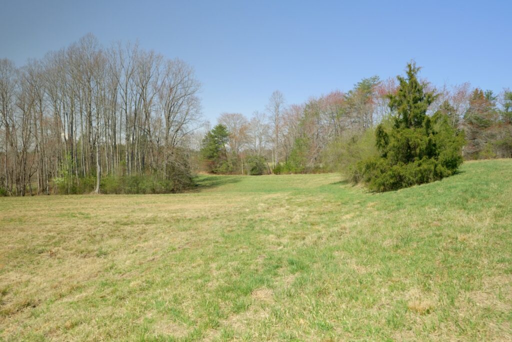
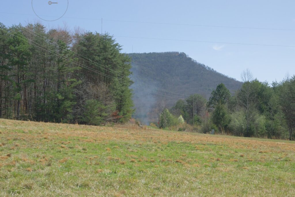
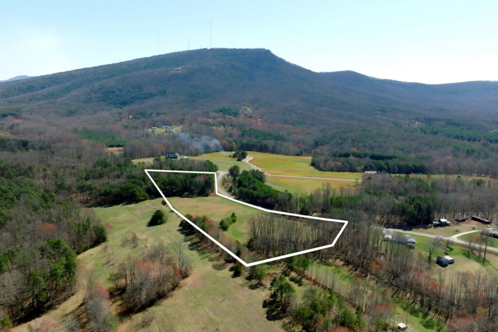
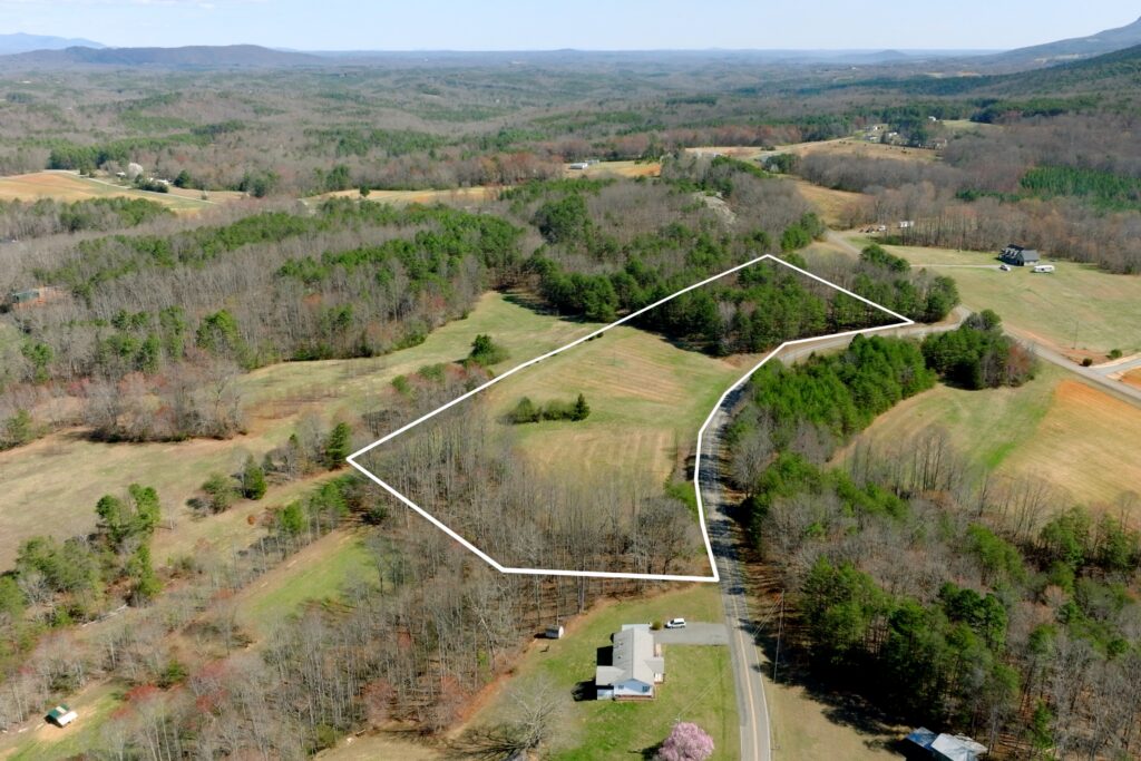
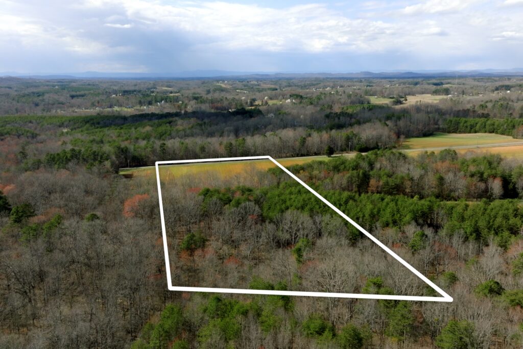
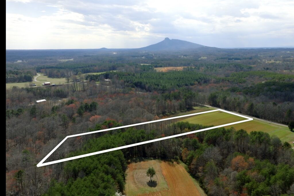
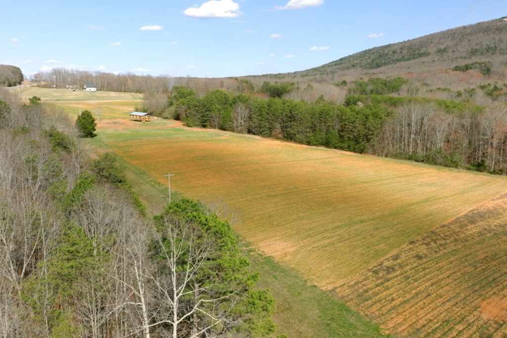
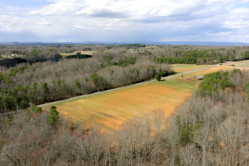
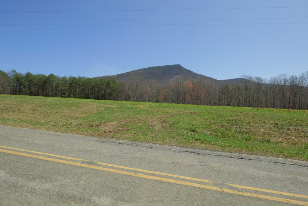
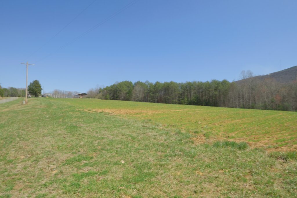
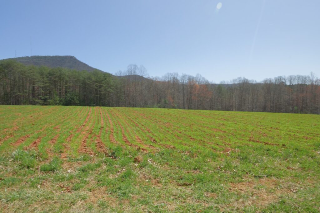
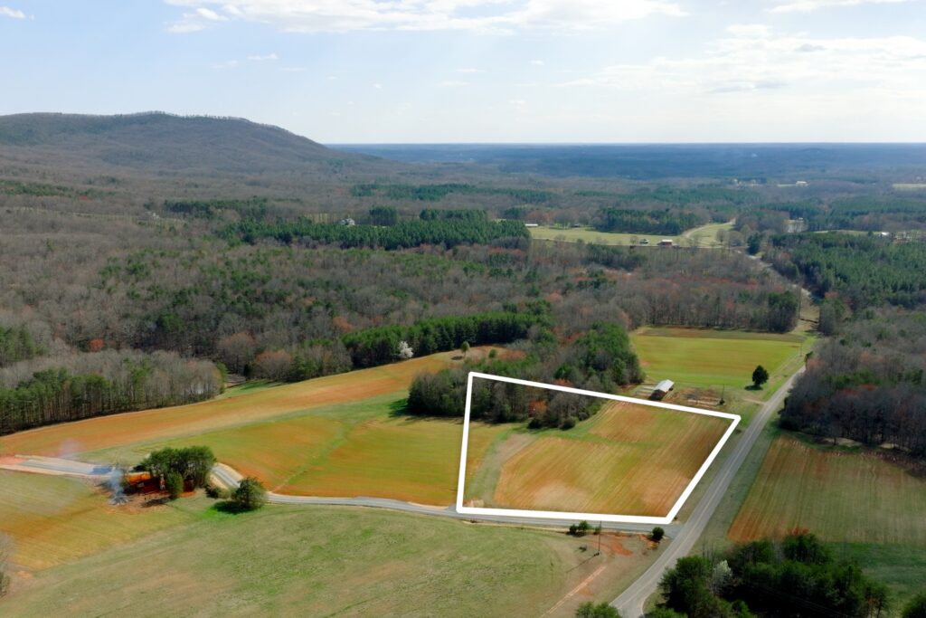
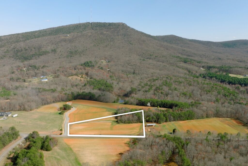
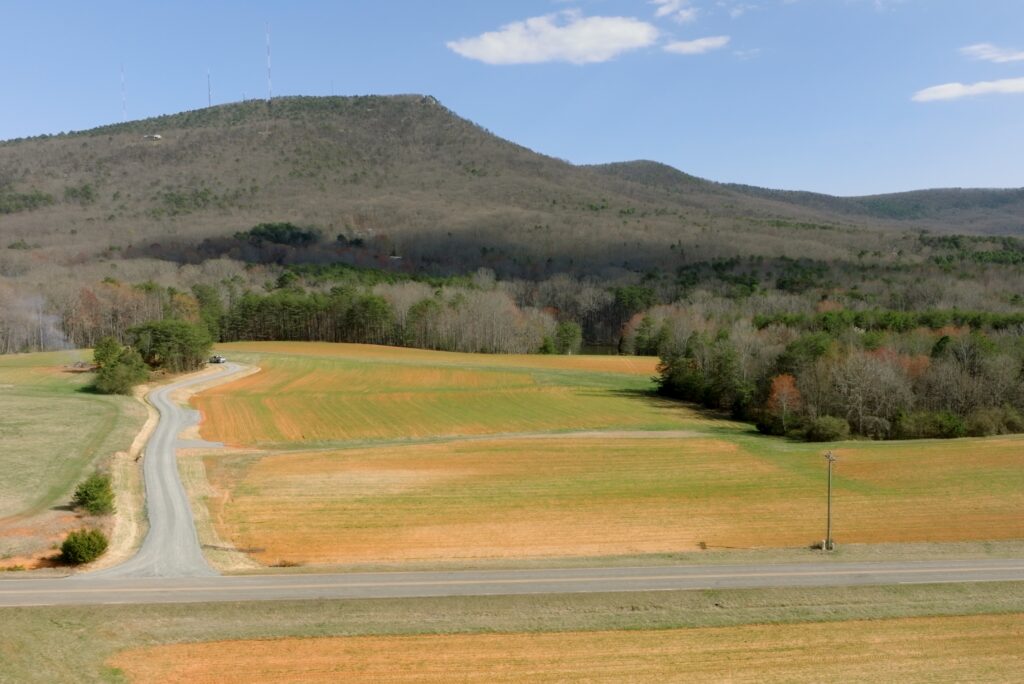
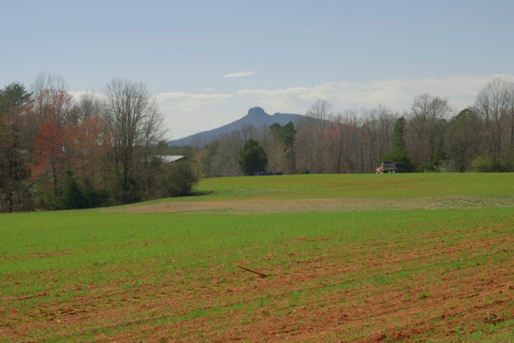
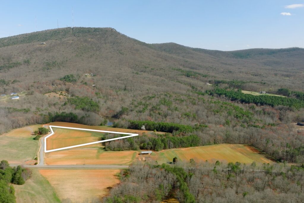
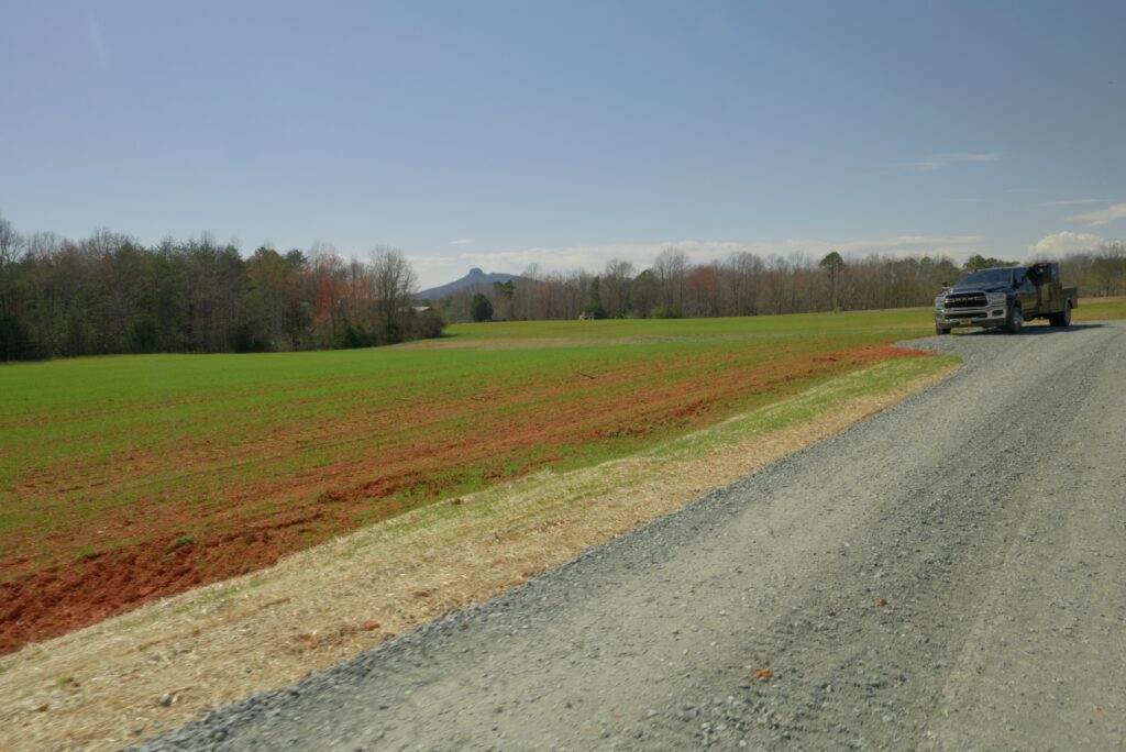
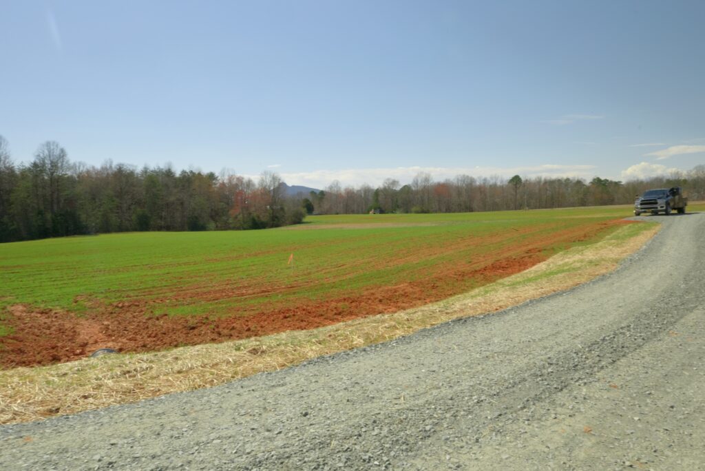
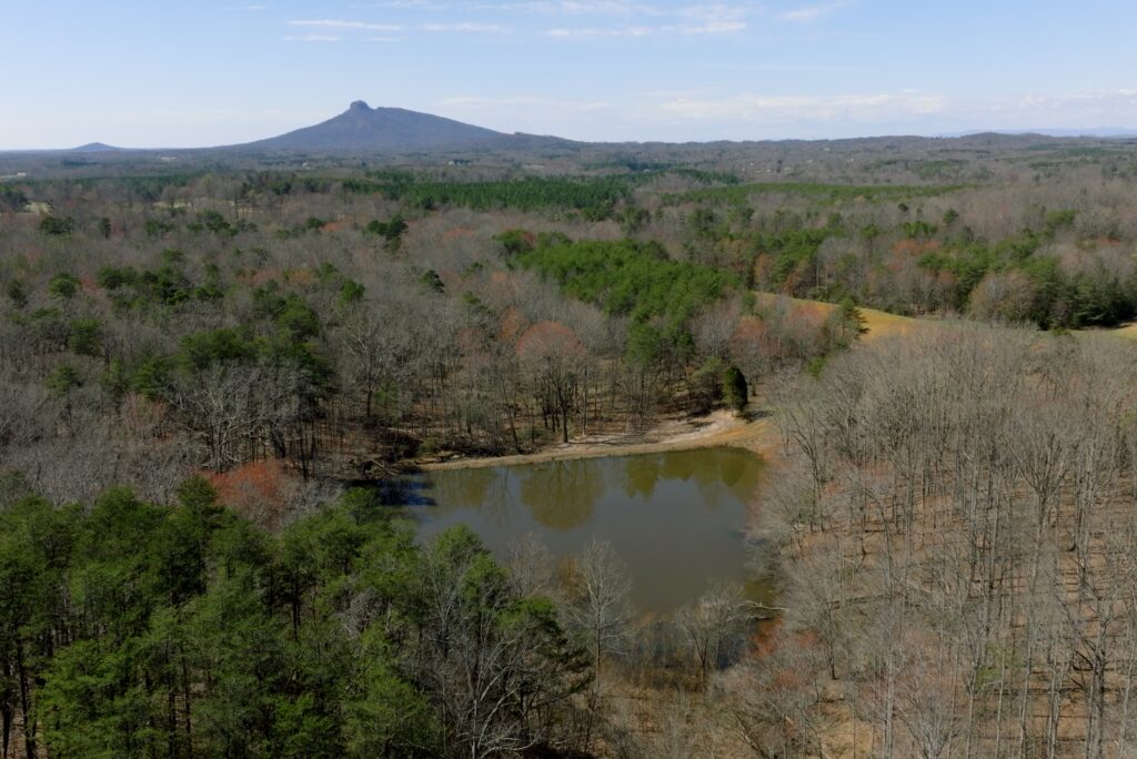
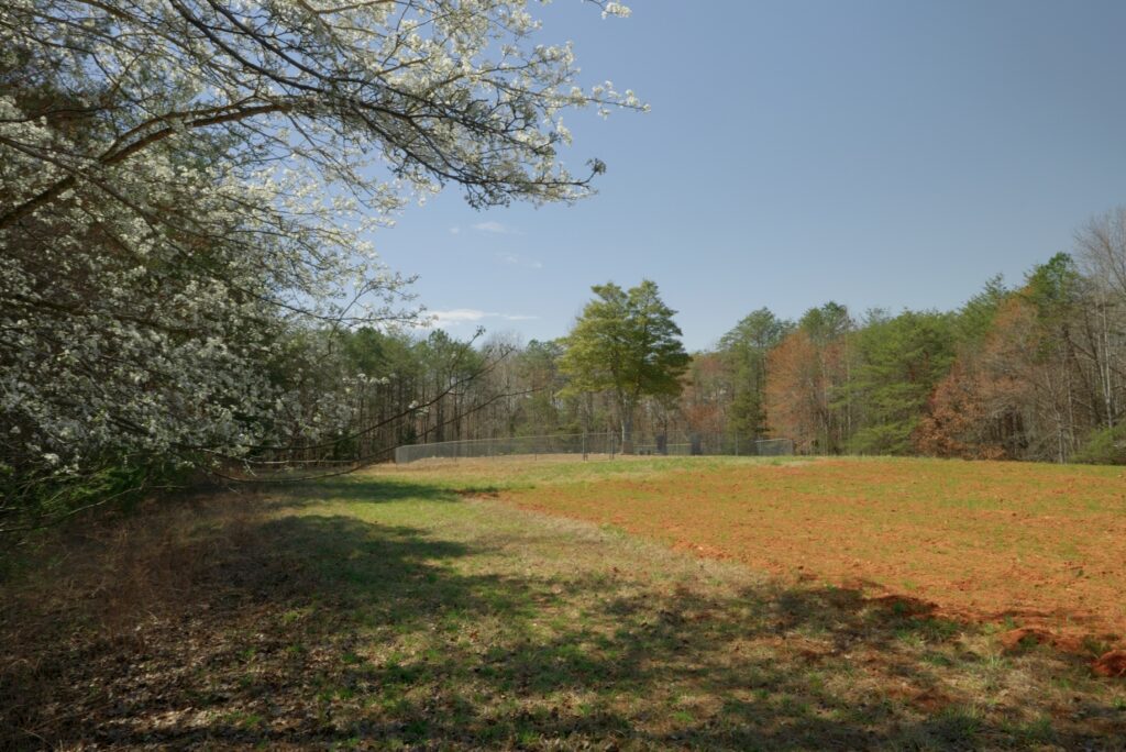
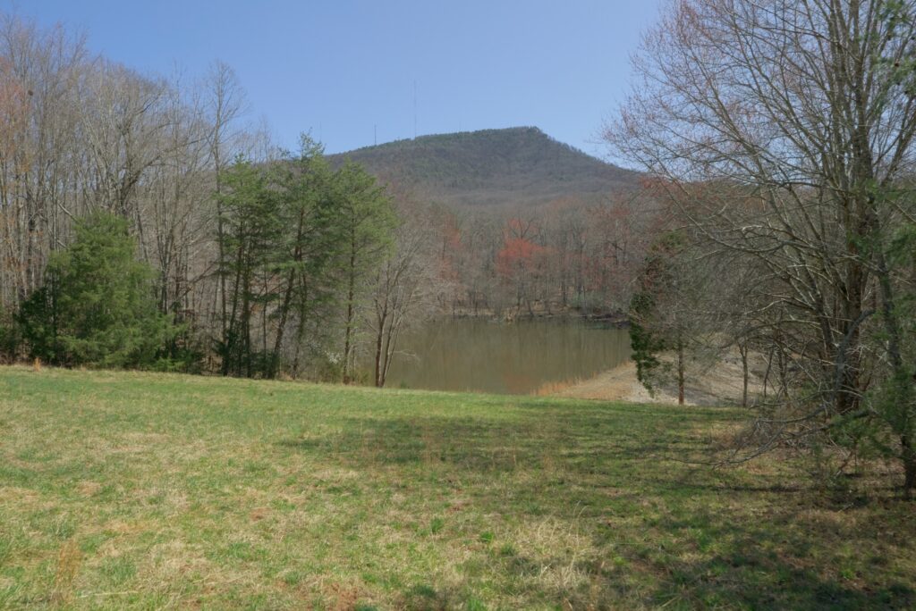
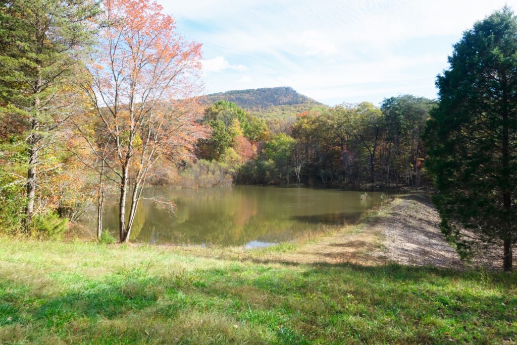
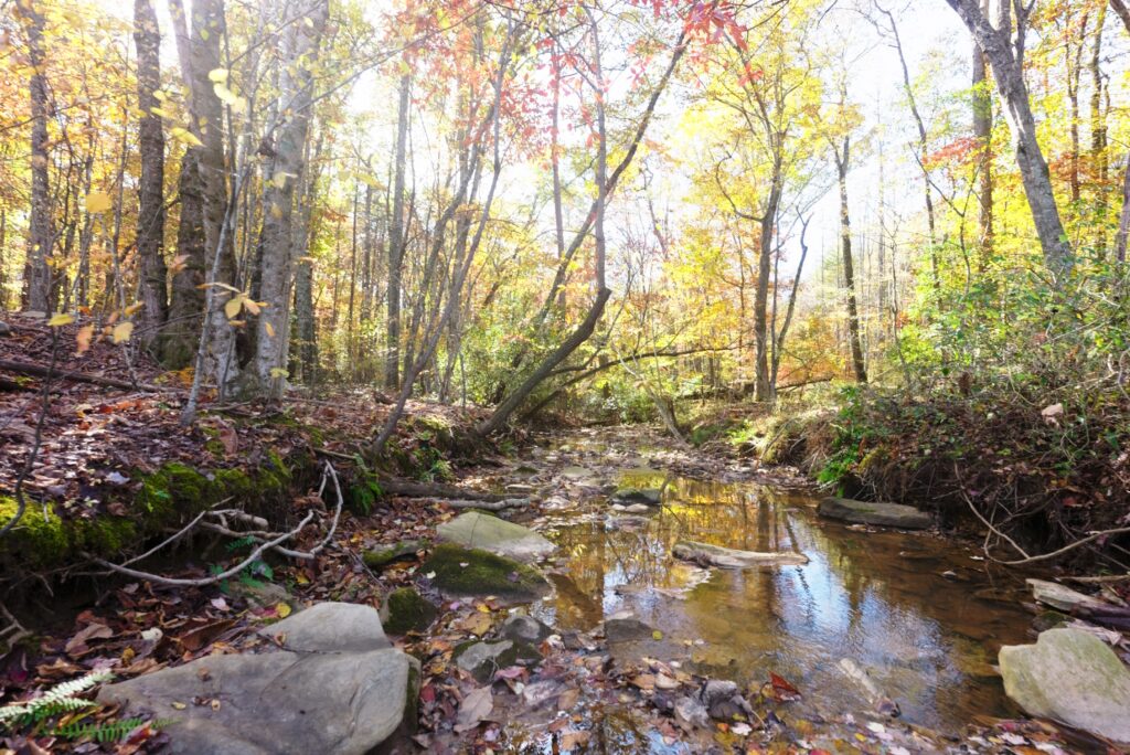
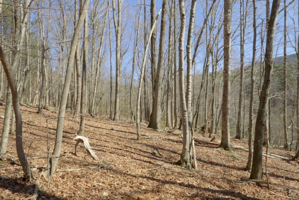
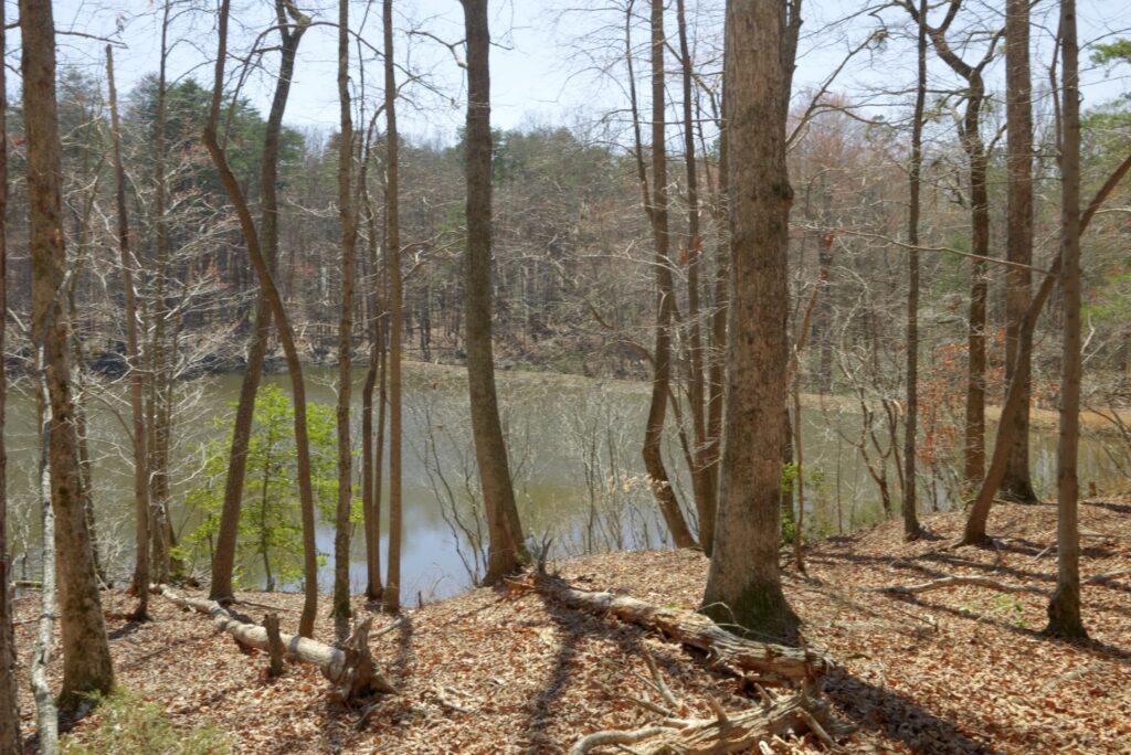
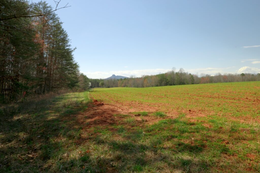
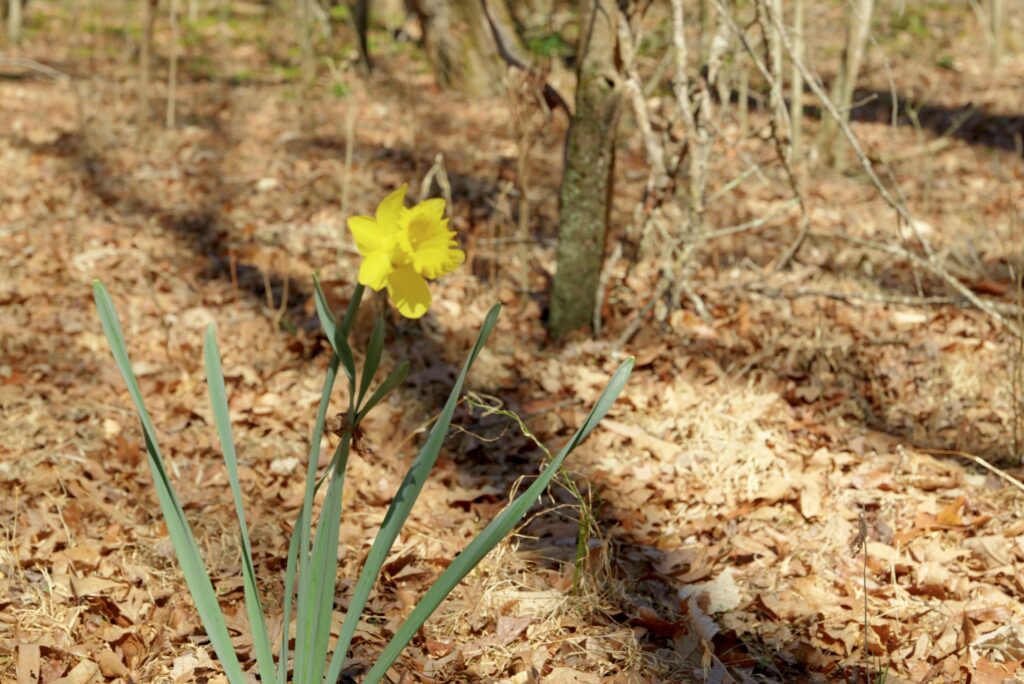
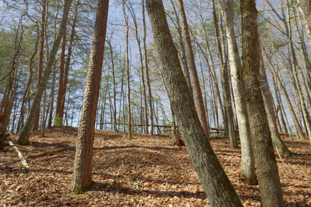
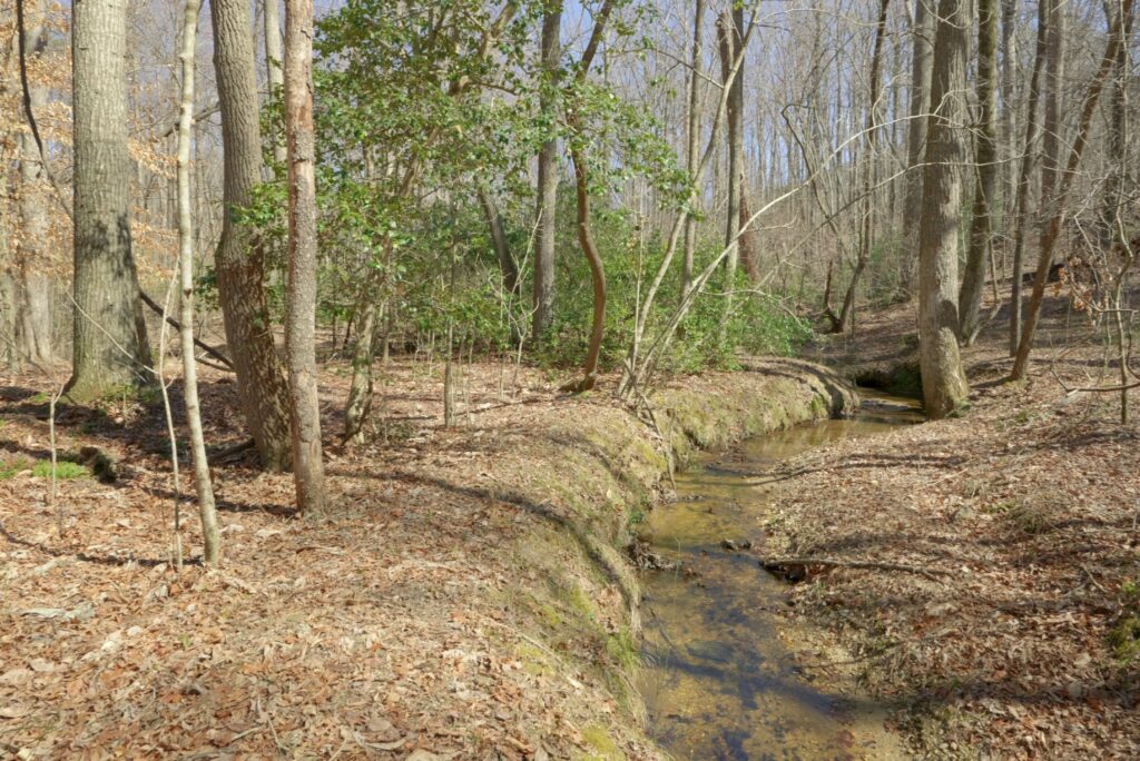
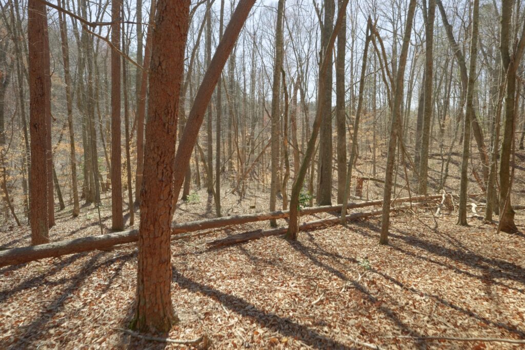
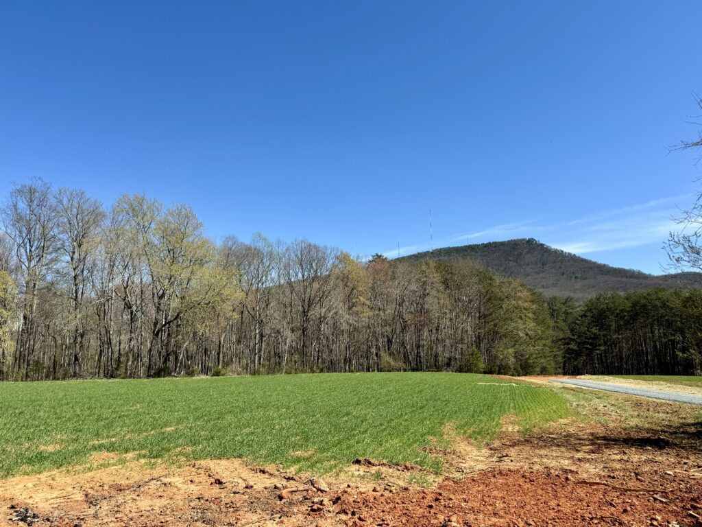
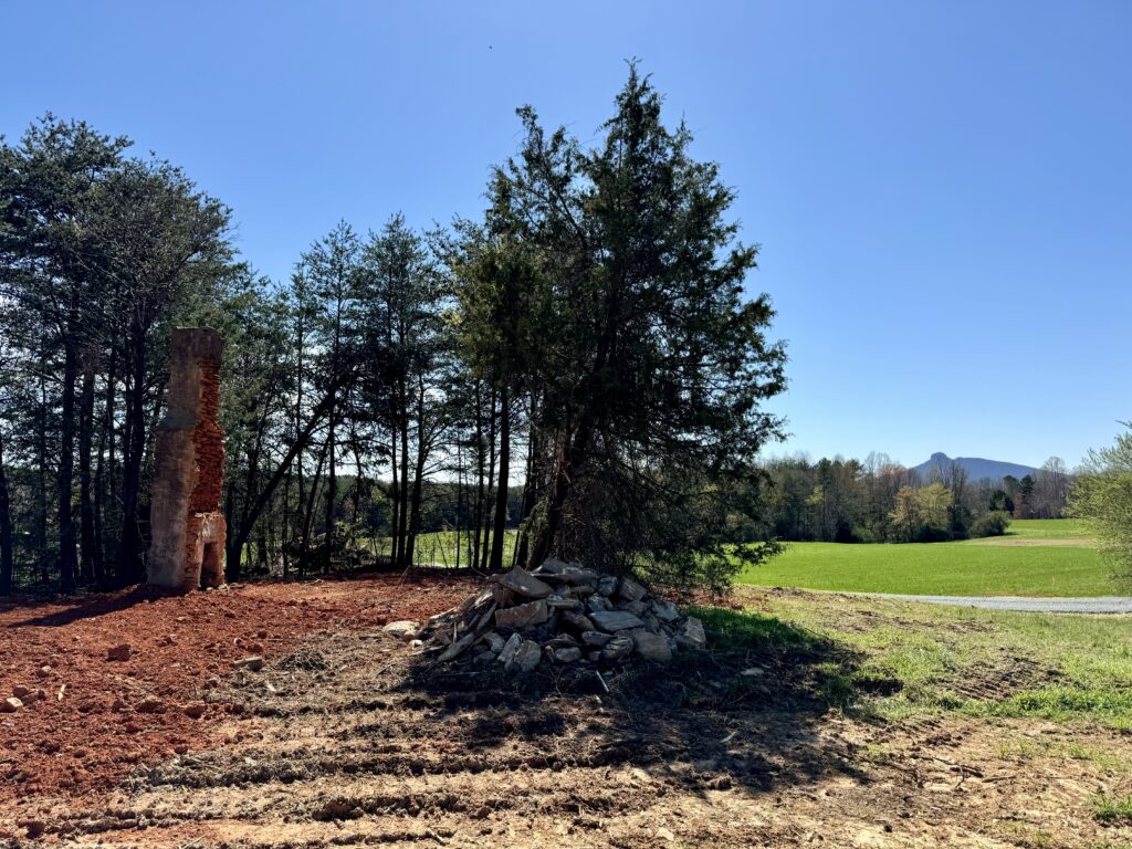
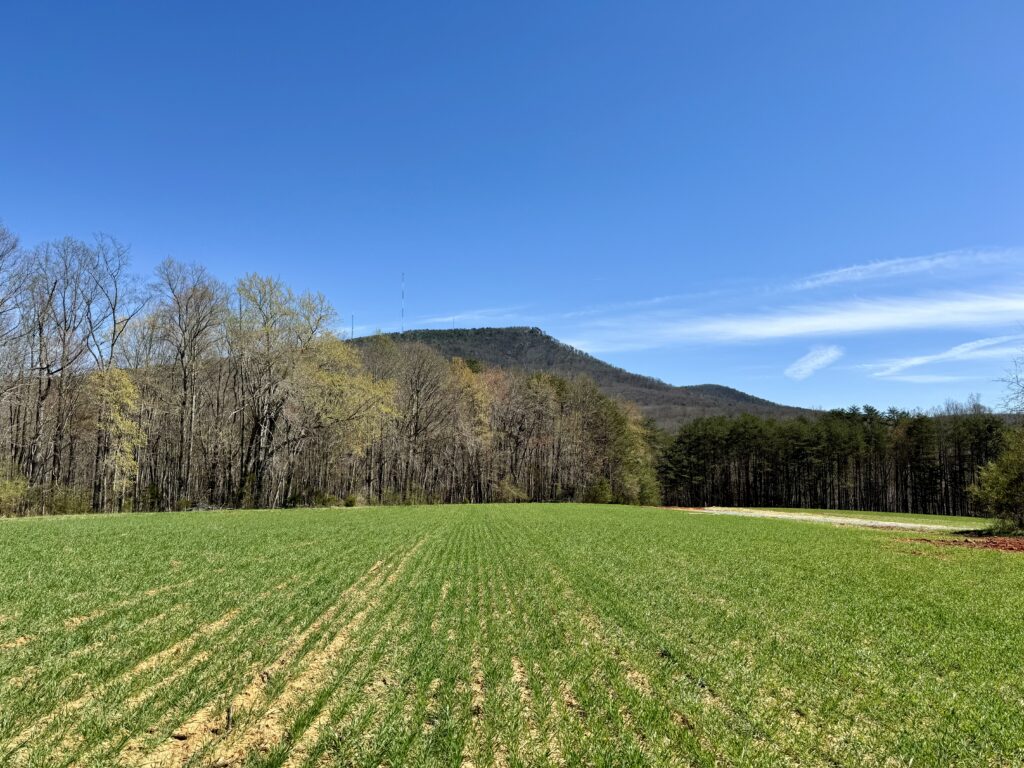
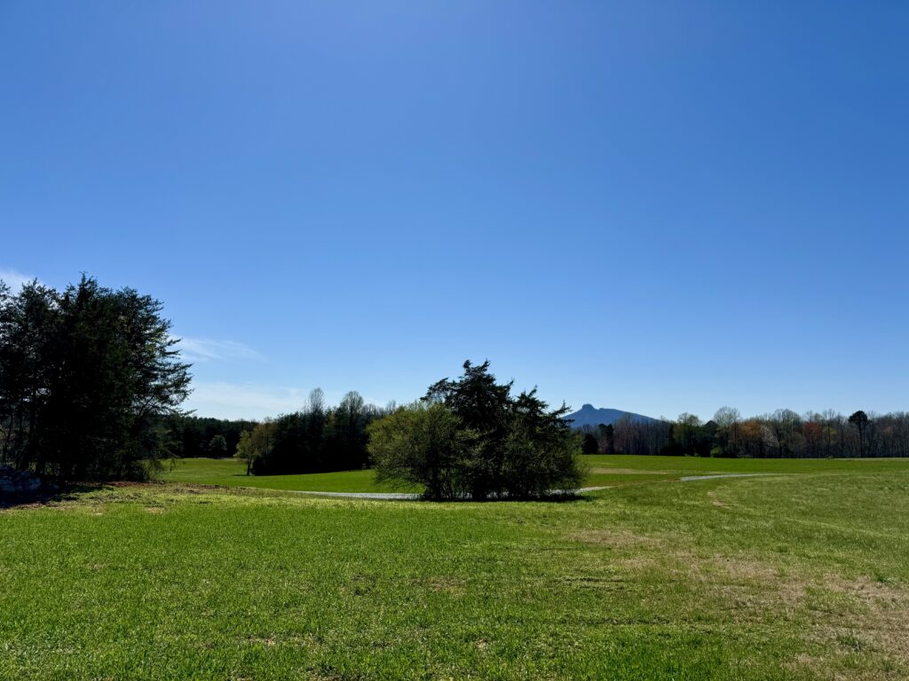
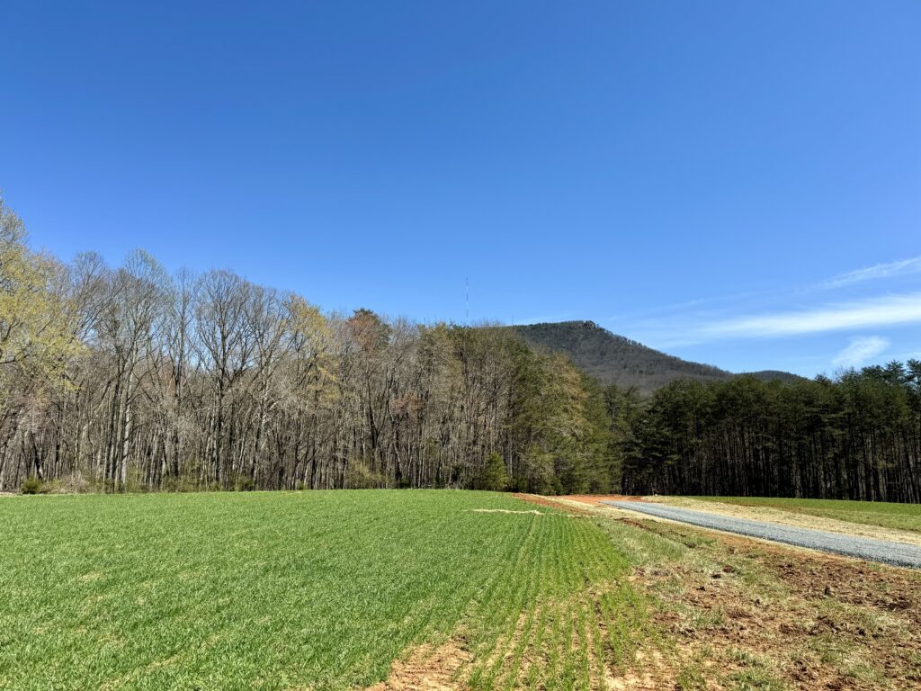
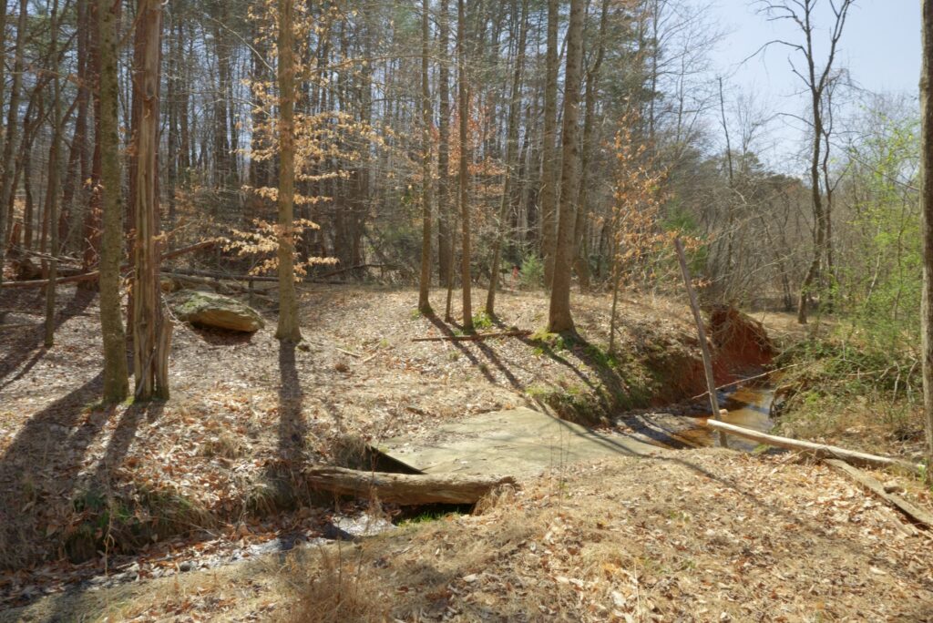
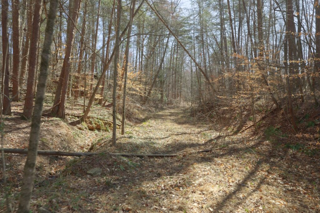
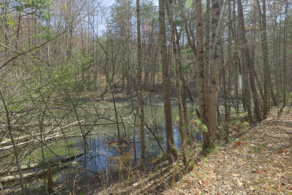
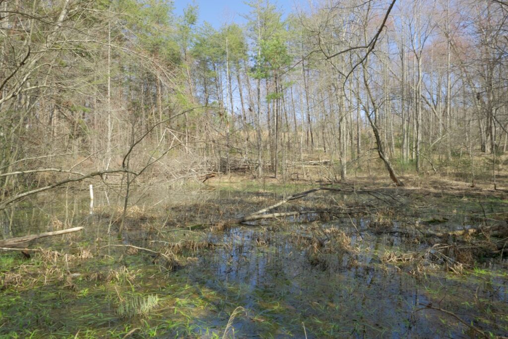
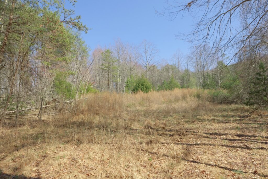
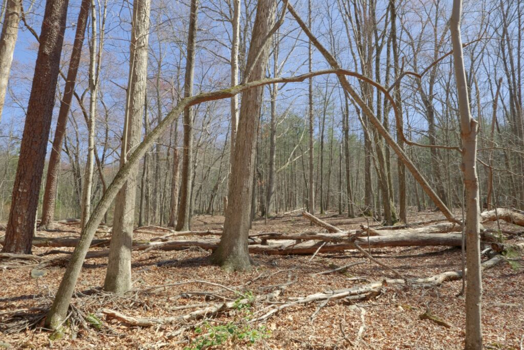
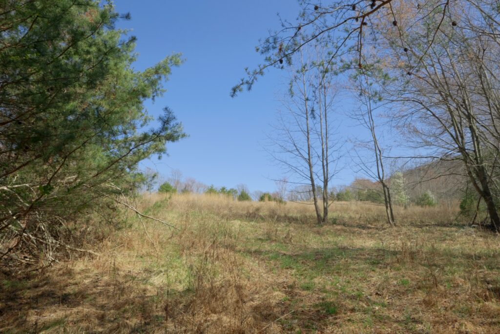
The property features a scenic blend of open crop fields, mid- and mature-aged hardwood and pine forests, gentle rolling topography, long-range Sauratown Mountain views, and water features including creek frontage and ponds on certain lots—ideal for livestock, horses, hobby farming, and recreation.
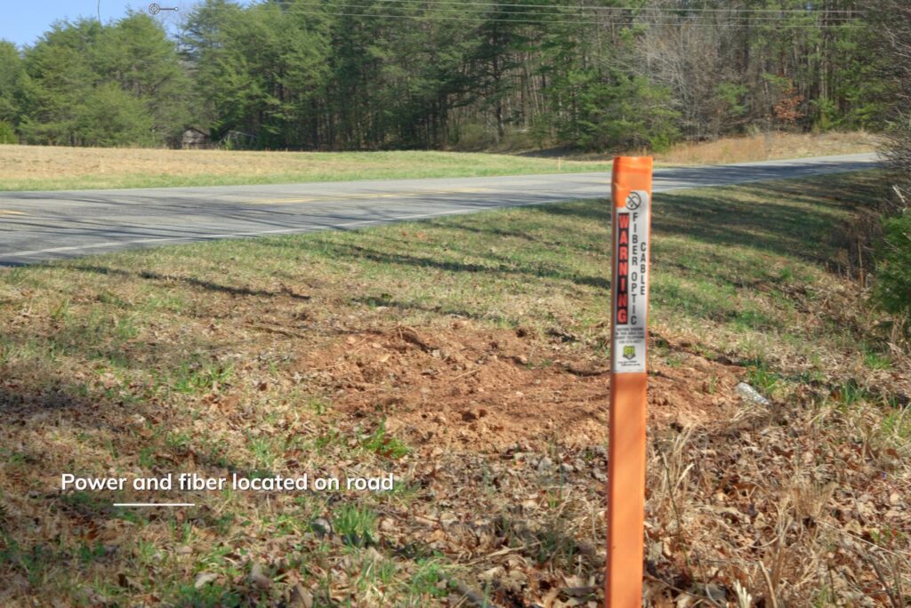
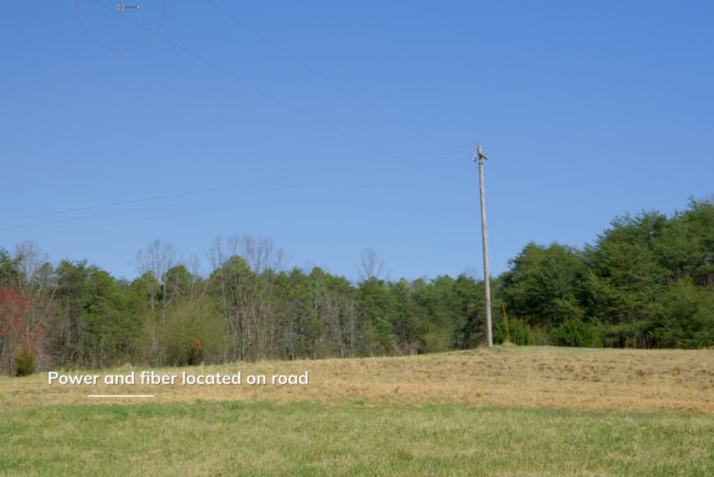
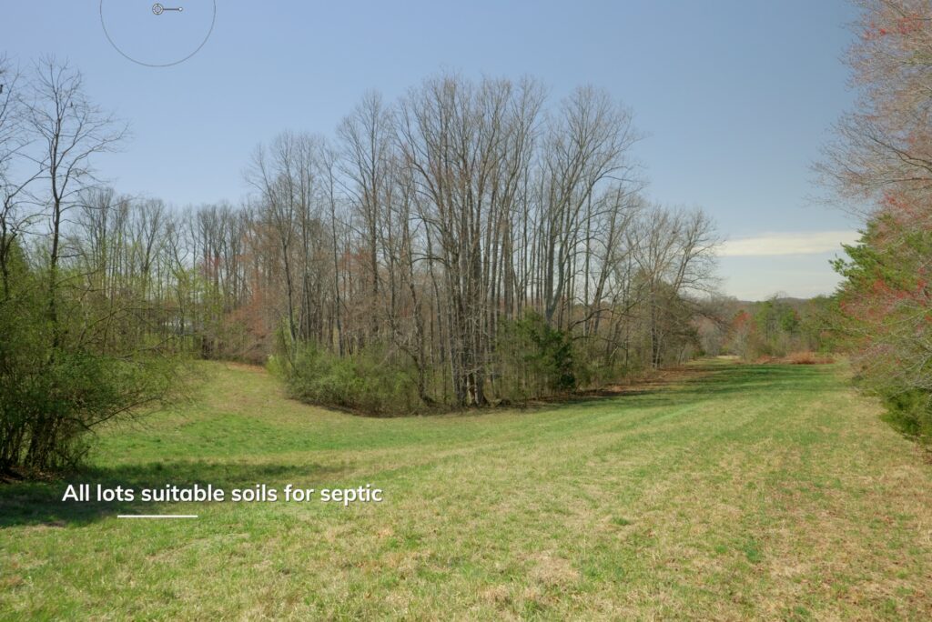
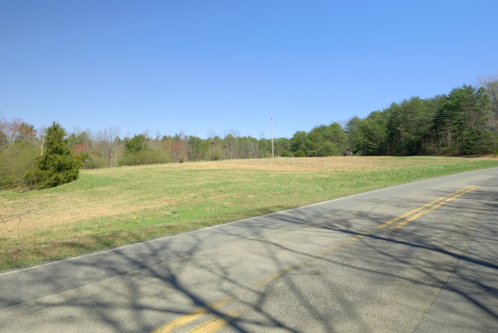
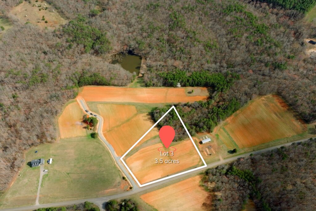
Located on a low-traffic road with privacy and open space. Each lot has either paved public road frontage (lots 1-3) or paved private road frontage (lots 4-8). Power and fiber internet available along Old Mill and Flat Rock Roads. Recent soils evaluation confirms septic suitability for 4+ bedroom homes on each lot (see soils report).
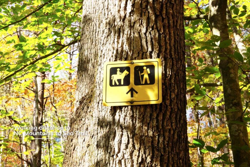
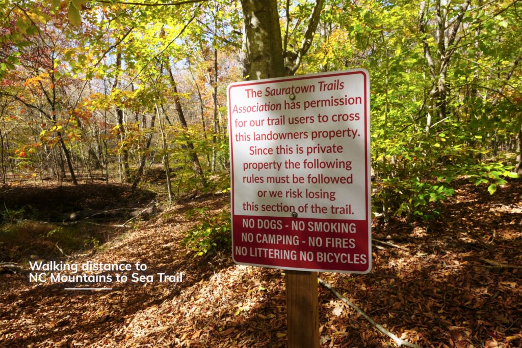
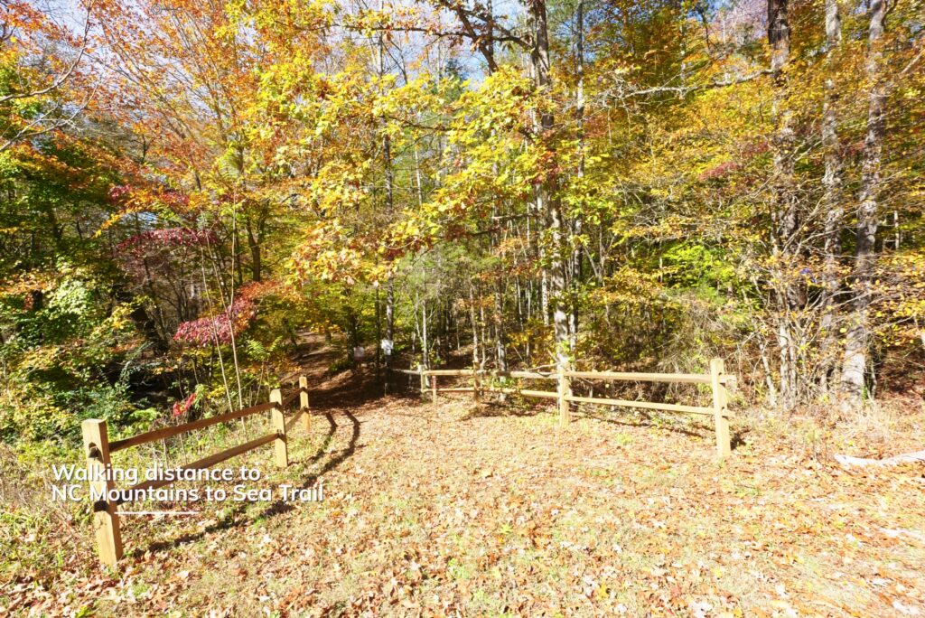
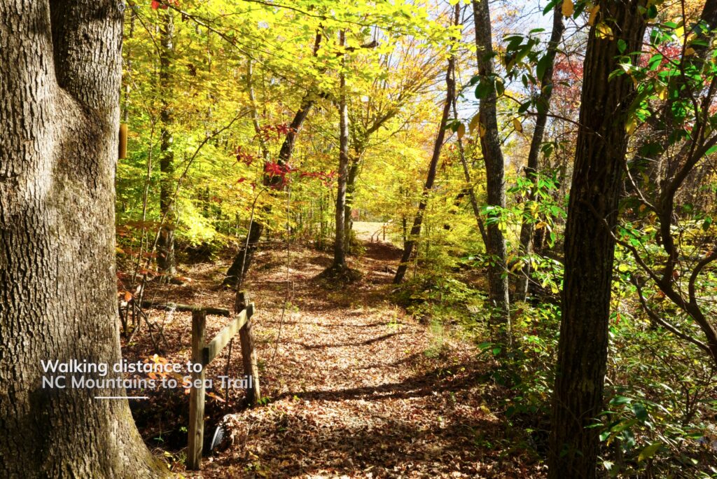
No homeowner’s association and low 0.715% property taxes. Protected by seller-imposed covenants to preserve natural beauty, aesthetics, and rural character. Property borders the 25-mile public Sauratown Mountain Trail (part of Mountain to Sea Trail) for hiking and horseback riding.
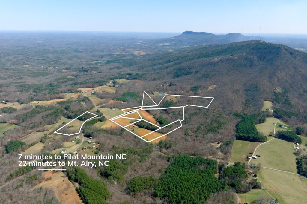
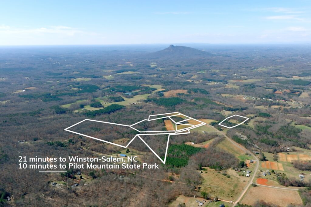
Conveniently located 5 miles to Pinnacle and Pilot Mountain, 8 miles to King, and 21 minutes to Winston-Salem, NC—perfect balance of rural serenity and modern conveniences for your country homestead or mini-farm.
Protective Covenants/Deed Restrictions
condensed version
- Lots may not be further subdivided.
- Only single-family homes of at least 1,500 sq. ft. with substantial exterior finishes (e.g., brick) are allowed; mobile, manufactured, kit, and panelized homes are prohibited.
- Structures must be set back at least 75 feet from Old Mill Road and 15 feet from side and rear lot lines.
- Temporary structures like travel trailers and tents are permitted short-term but not as permanent residences; accessory dwelling units (“granny flats”) are allowed if they meet zoning codes.
- No business or commercial use is permitted on the lots, including retail sales, heavy industrial activity, or nuisance-generating professional offices.
- Livestock is limited to common farm animals (goats, sheep, cows, horses, llamas); exotic and dangerous animals are prohibited.
- Signage is restricted — political signs capped at 24″ x 36″, seasonal banners and flags must be removed within 7 days, and general advertising signage is not allowed.
- Outdoor lighting must be dark-sky friendly and must not interfere with neighbors’ peaceful enjoyment or stargazing.
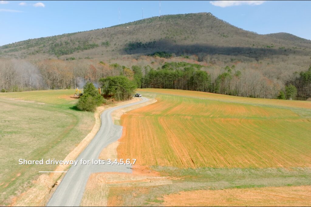
- A shared private driveway and Road Maintenance Agreement applies to the affected lots, with each lot having one vote and shared costs for routine and capital maintenance.
- Restrictions are enforceable by injunction and damages, and if any one provision is found invalid, the remaining restrictions stay in full effect.
Property Videos
(play full screen for best quality)
Uses
Single Family Residential, Farm, Recreation
Lot Information & Price
| Status | Size (acres) | Price | Lot # |
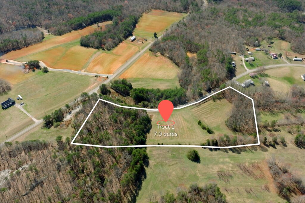
| Closed | 7.87 | $179,900 | Tract I |
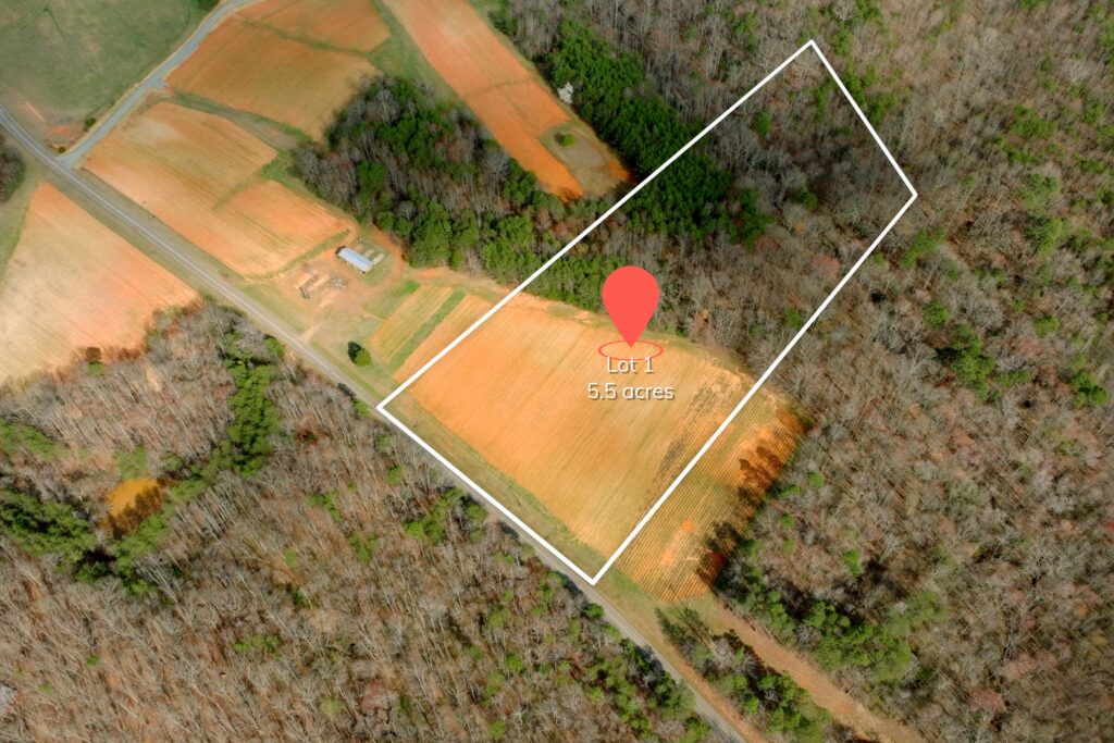
| Closed | 5.45 | $119,900 | 1 |
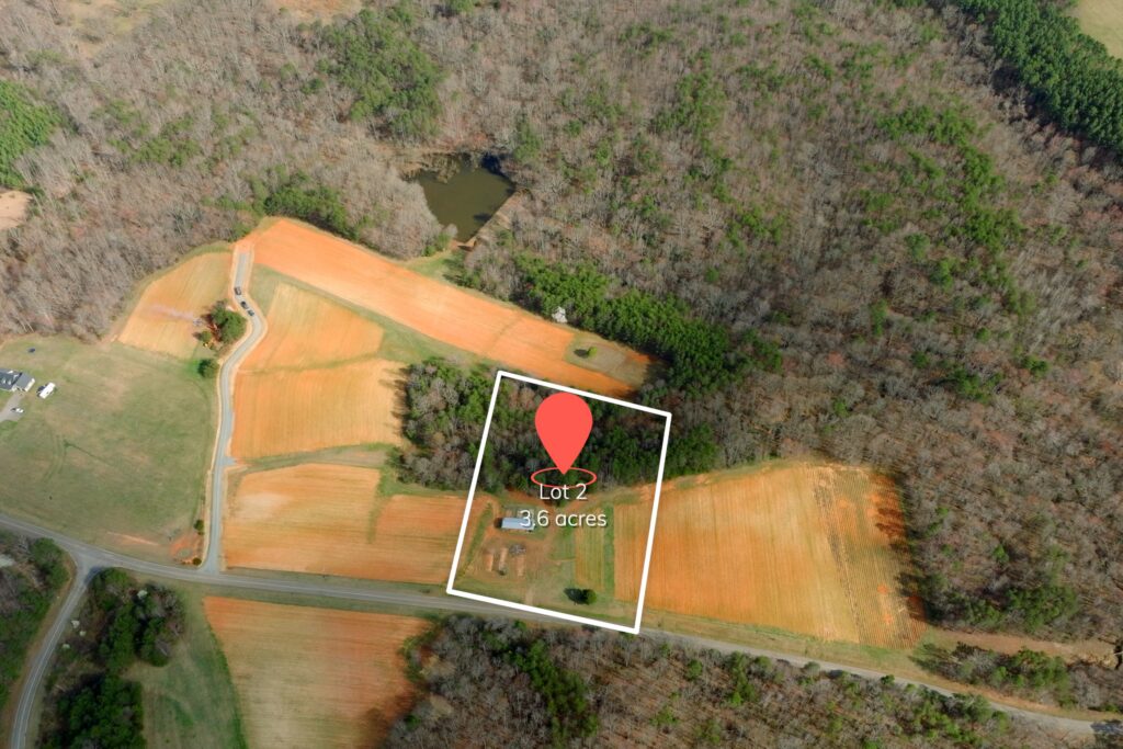
| Closed | 3.63 | $119,900 | 2 |
| Under Contract | 6.46 | $184,900 | 3 |
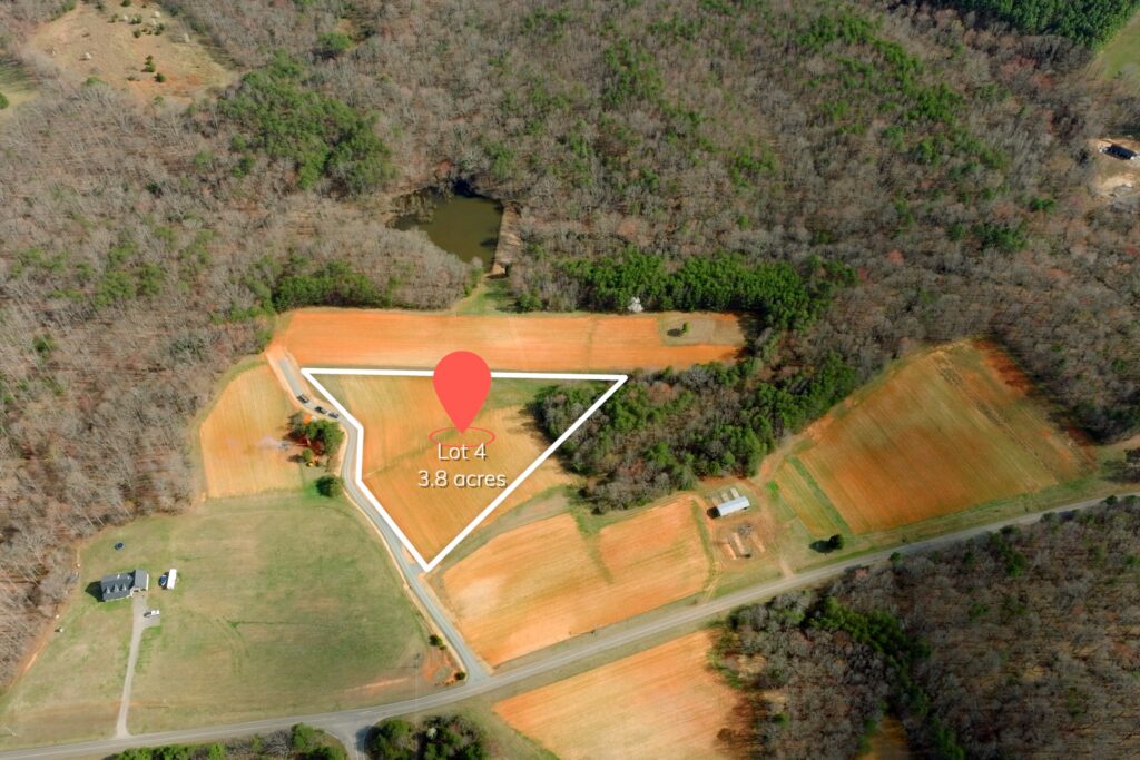
| Waiting to Market | 4.35 | TBD | 4 |
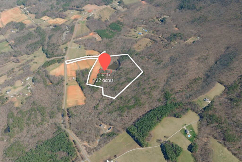
| Waiting to Market | 16.77 | TBD | 5 |
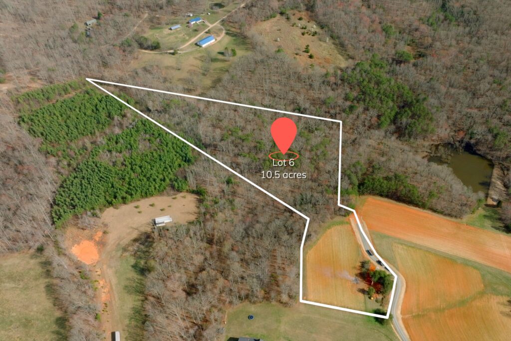
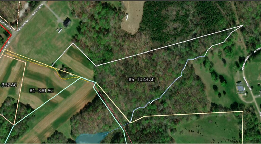
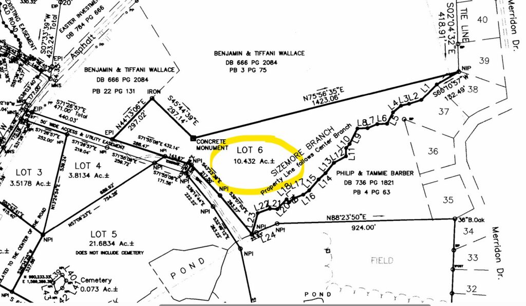
| Available | 10.43 | $224,900 | 6 |
| Waiting to Market | 12.7 | TBD | 7 |
| Waiting to Market | 19.7 | TBD | 8 |
Property Features
- Small pond Lots 5 & 8
- Power & fiber internet available
- Paved public road frontage Tract 1 & lots 1-3)
- Paved private shared driveway (lots 4-8)
- Soils suitable for conventional septic 4+ bedroom homes on each lot
- Open crop fields + mid- & mature hardwood/pine forests
- Gentle rolling topography – not steep land
- Sauratown and Pilot Mountain views
- No HOA
- Low 0.715% county taxes
- Present Use Value enrollment (transferable to qualifying parcels)
- Seller-imposed covenants (minimum restrictions) protect rural character
- Access to the Sauratown Mountain Trail, a 25-mile public hiking & horseback trail
Distances
- 5 miles to Pilot Mountain & Pinnacle, NC
- 6 miles to Pilot Mountain State Park
- 8 miles to King, NC
- 12 miles to Hanging Rock State Park
- 21 minutes to Winston Salem, NC
- 22 minutes to Mount Airy, NC
- 42 minutes to Greensboro, NC
Property Maps & Attachments (click to access)
- Aerial Map
- Topo Map
- Location Map
- Google Map
- Subdivision Survey
- Soils Evaluation
- Additional Provisions Addendum
- MOG & Form 142
- Form 220
- Seller Imposed Deed Restrictions and RMA
Directions & Coordinates
From Oscar Frye Road head east on Flat Rock Road to Old Mill Road. Lots are located surrounding this intersection. Use interactive map (link above) from your smartphone in order to navigate the lot with the Land ID App. You must download the LandID (free) app on your smartphone in order to see yourself on the map
GPS Coordinates 36.3824, -80.3957
Property Photographs
Tract I

Lot 1
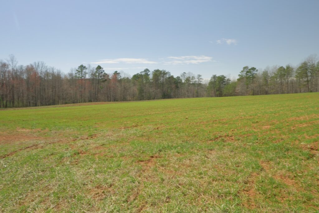
Lot 2
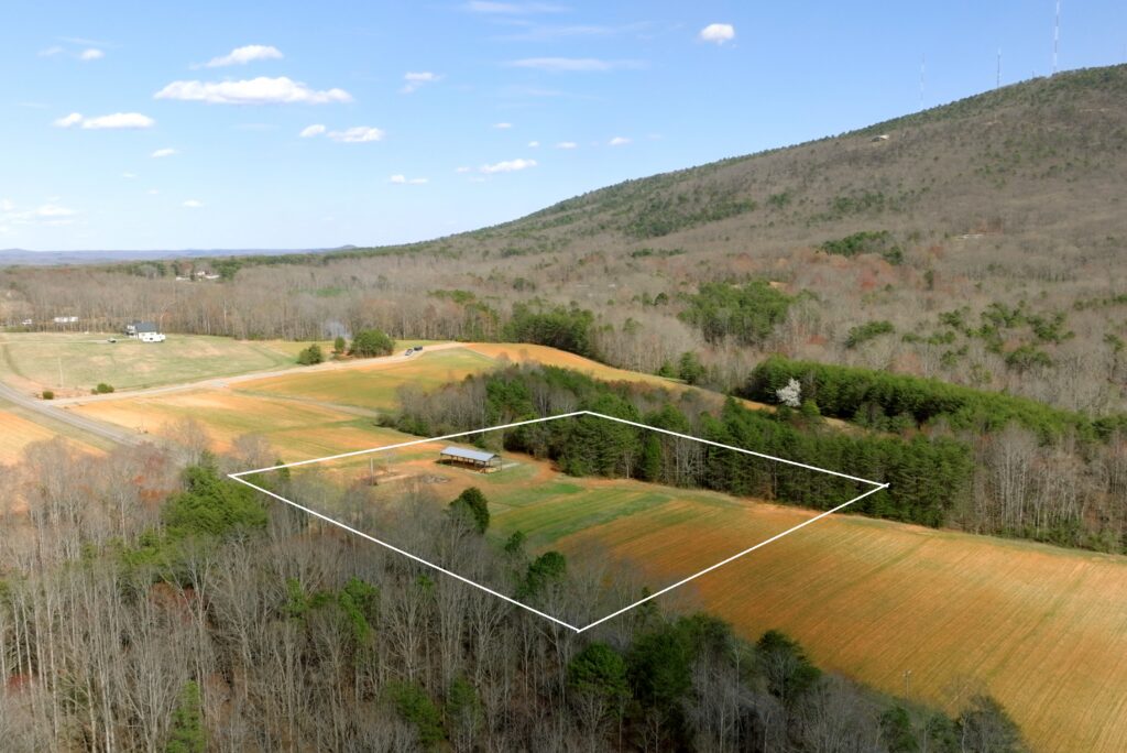
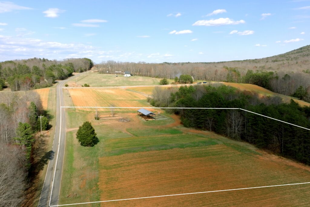
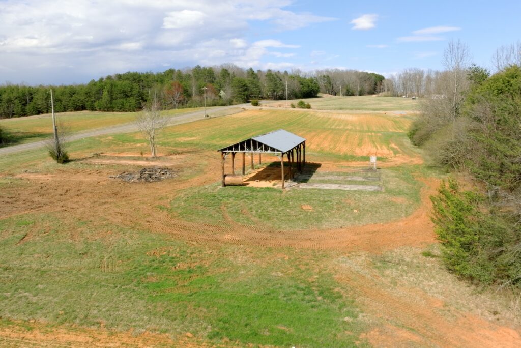
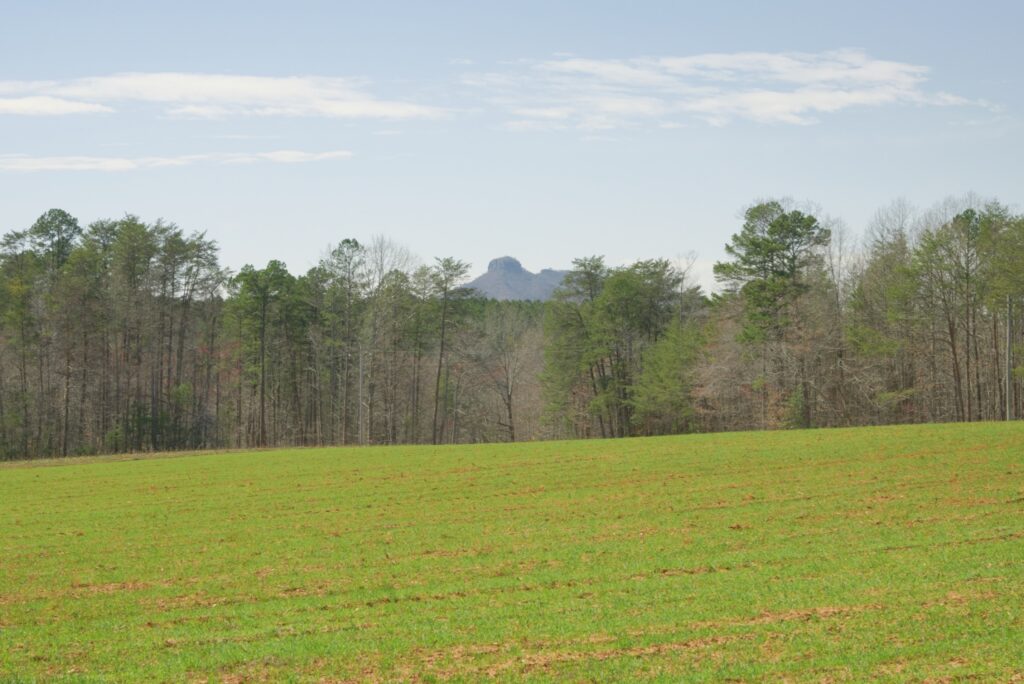
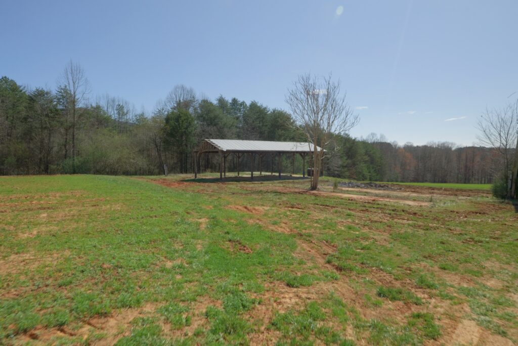
Lot 3
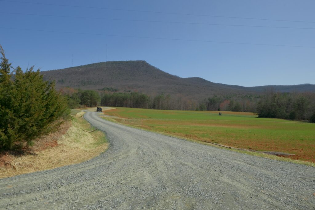
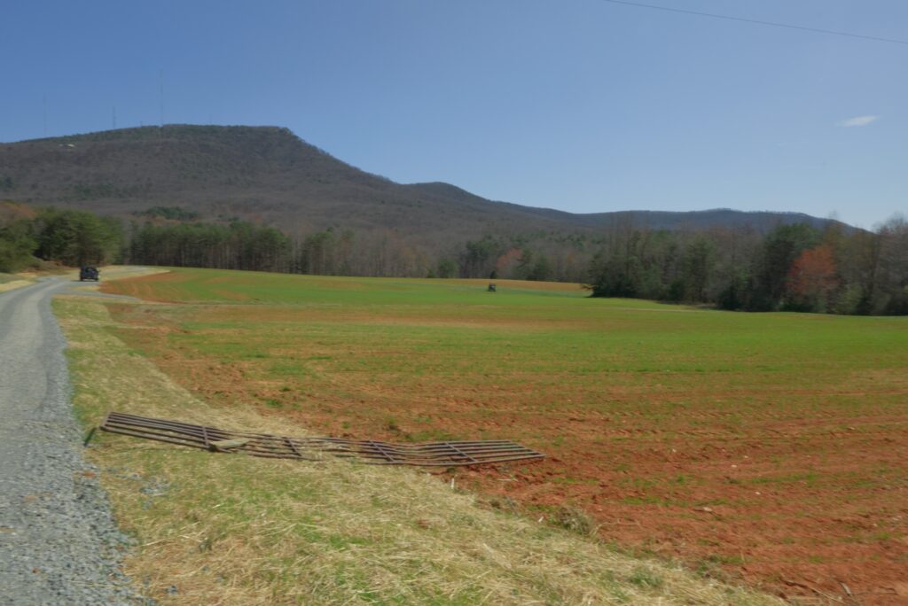
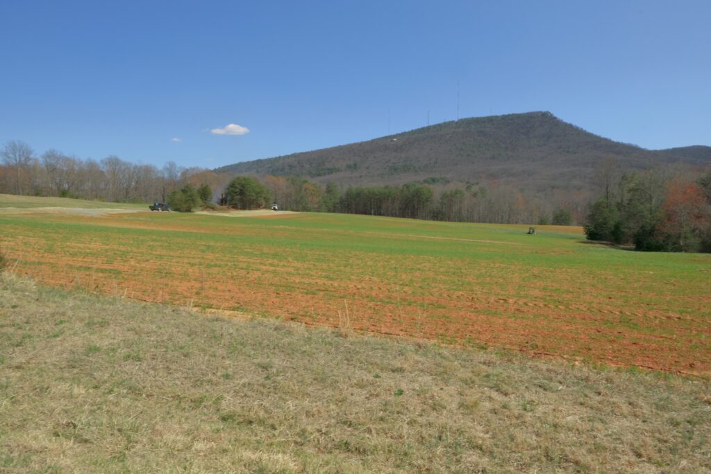
Lot 4
Lot 5
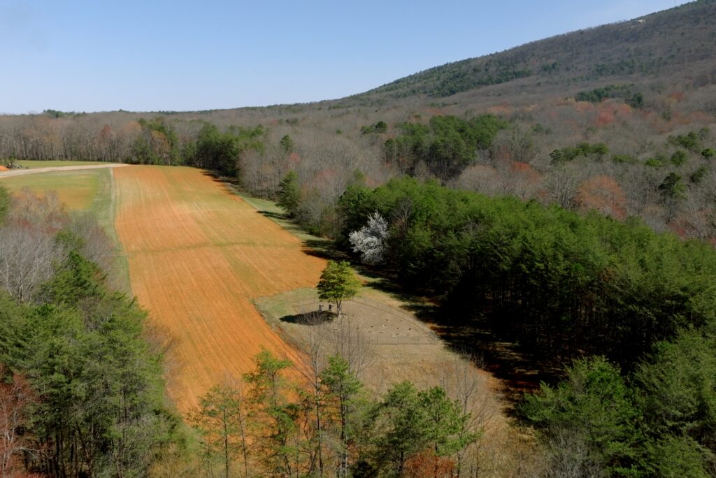
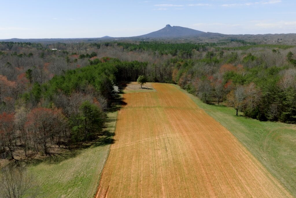
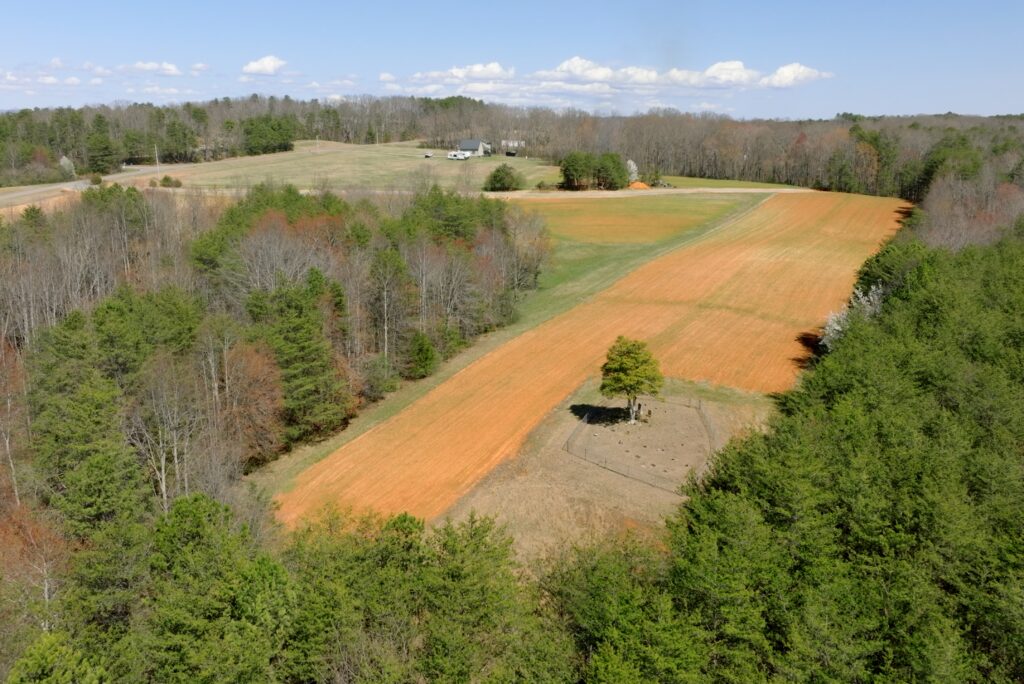
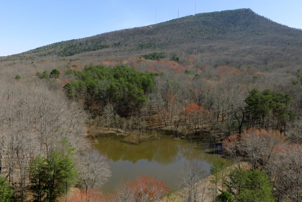
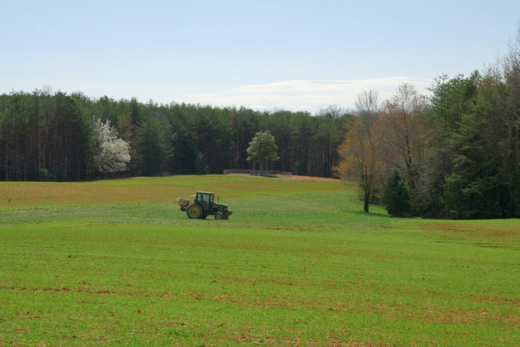
Lot 6
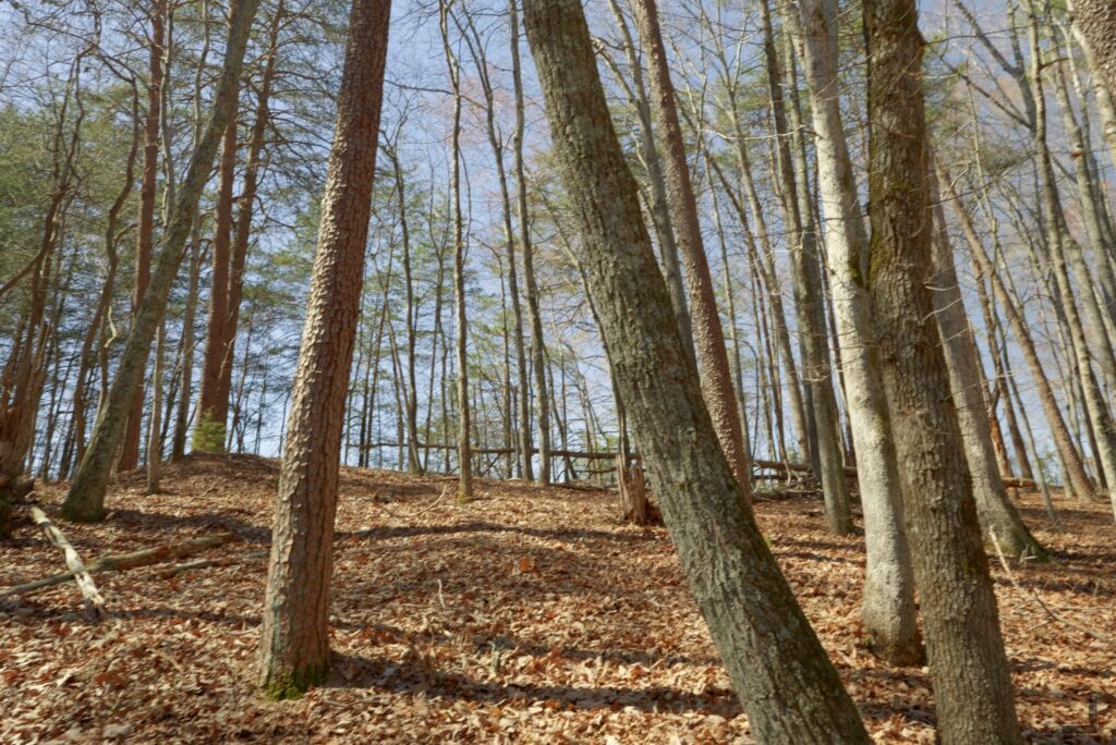
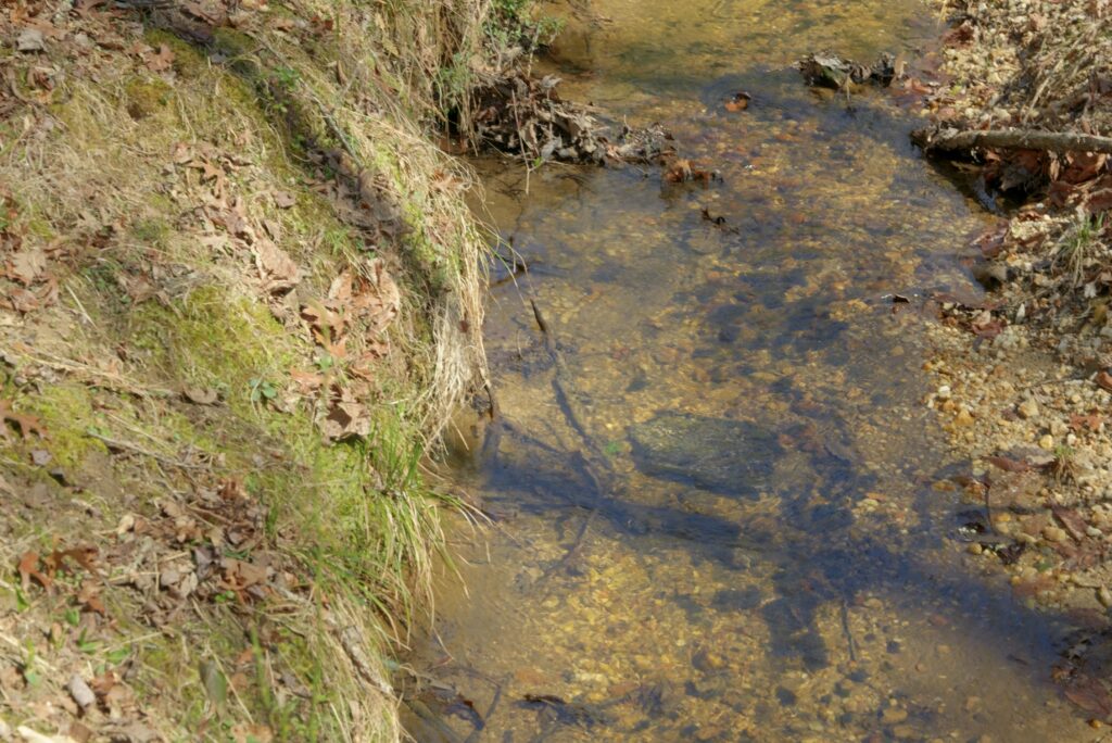
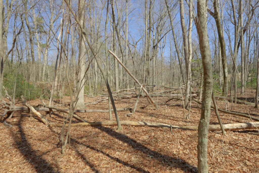
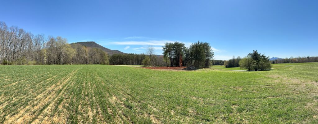
Lot 7
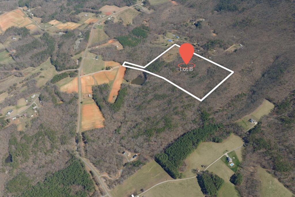
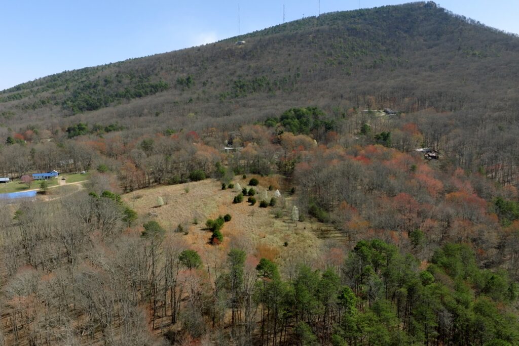
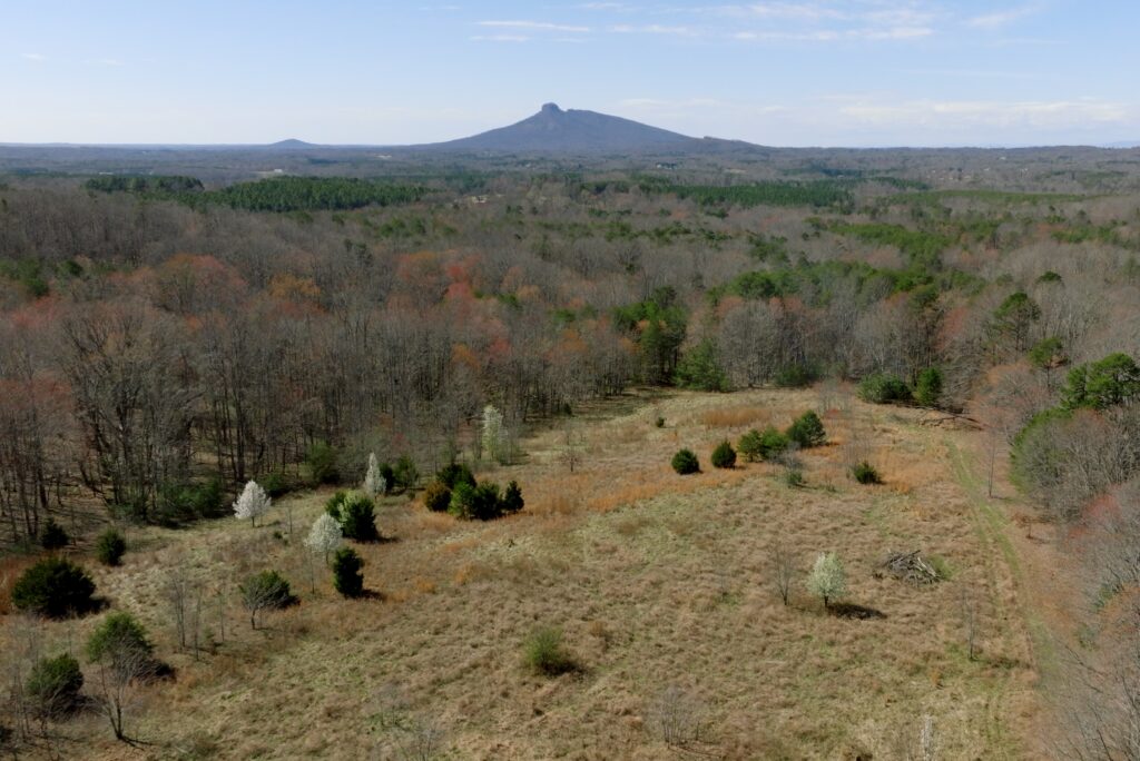

Contact
JOHN SHIPLEY
336-416-6384
john@theshipleyco.com
DISCLAIMER:
Information taken from reliable sources and thought to be correct. Potential buyers should perform their own due diligence and verify all information.
8 lots 90 acres Stokes Co, NC