Description
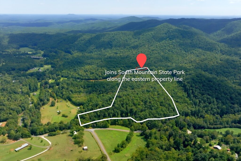
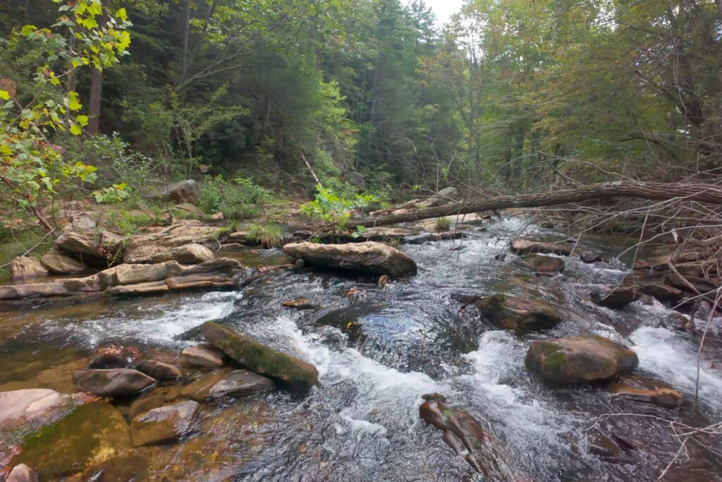
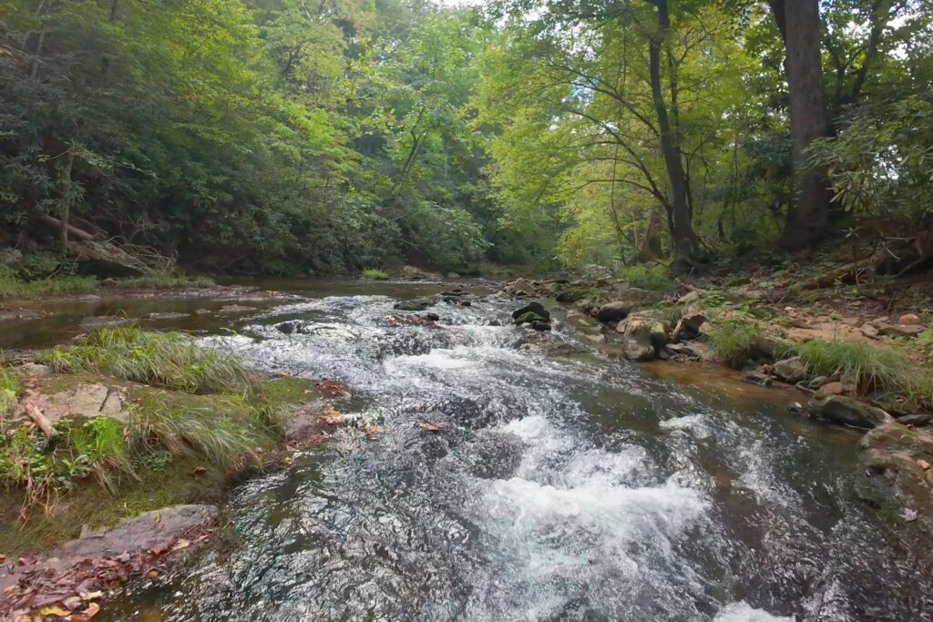
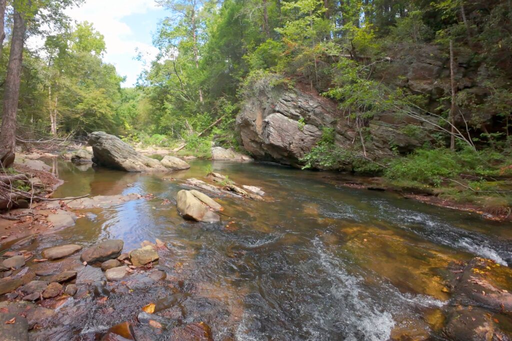
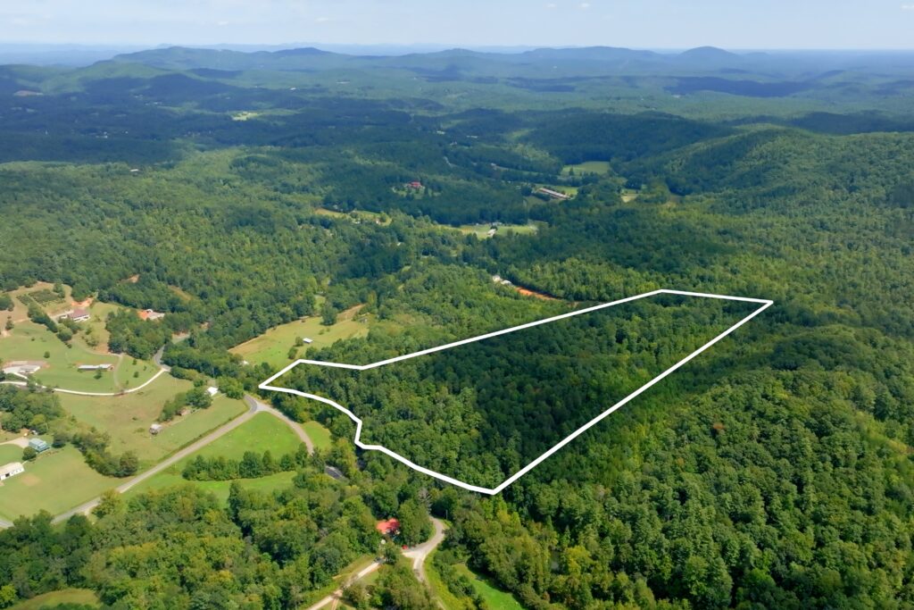
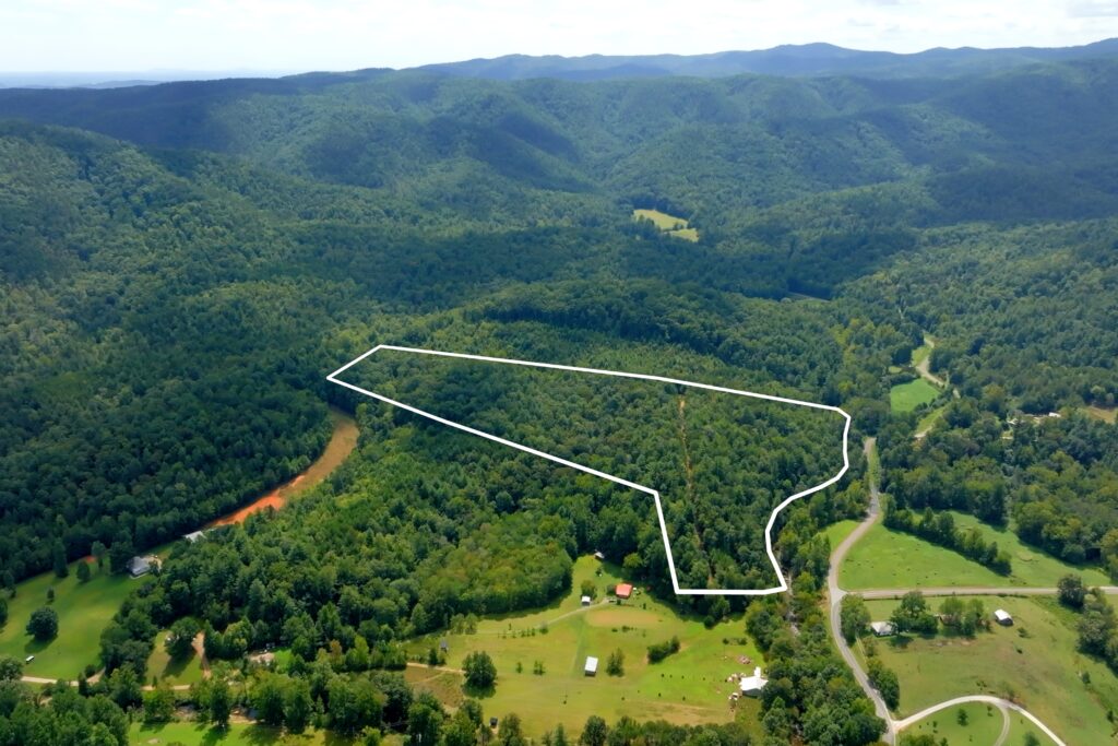
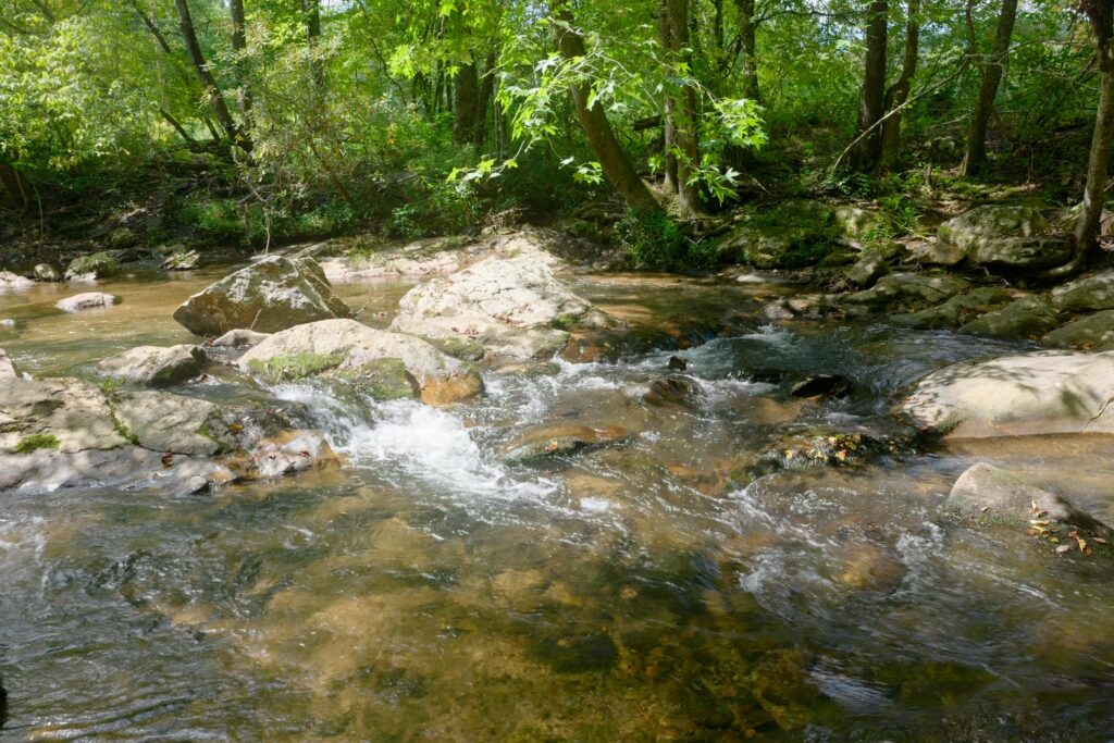
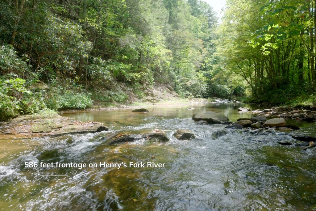
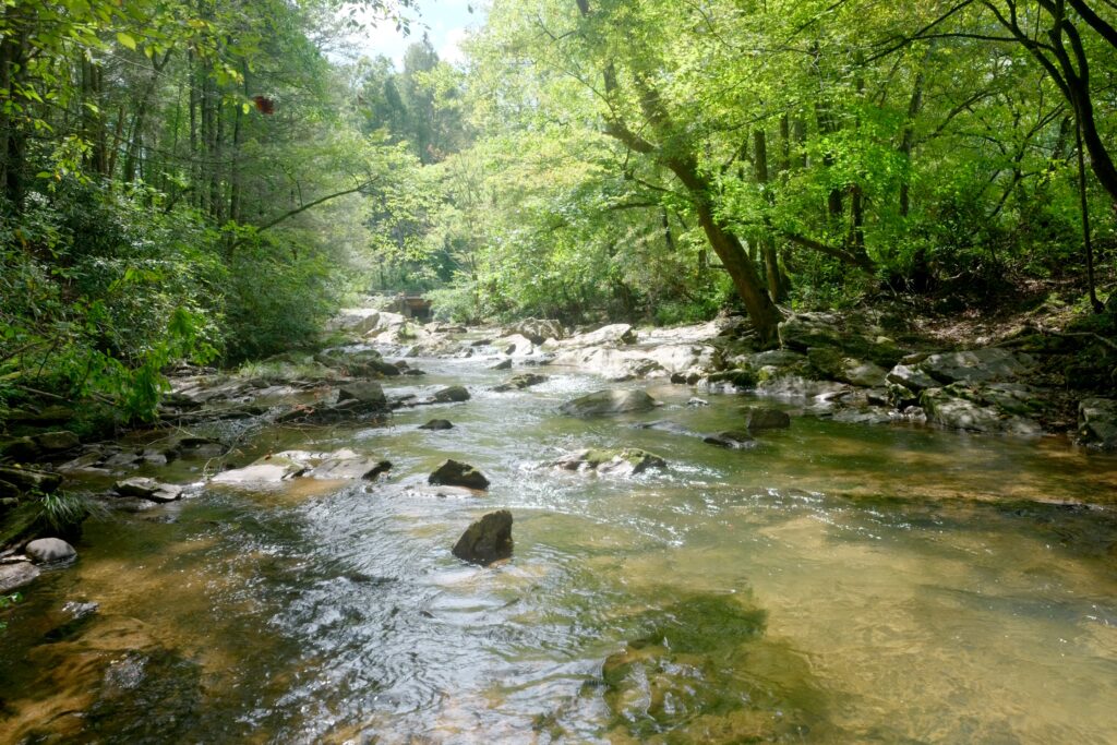
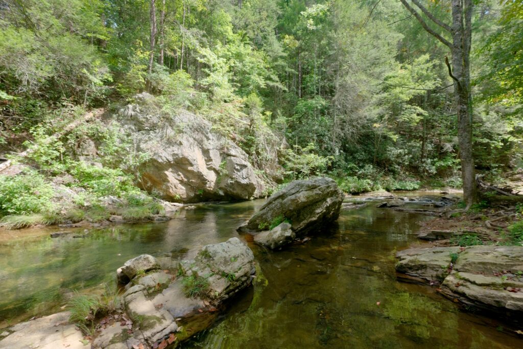
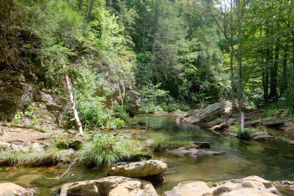
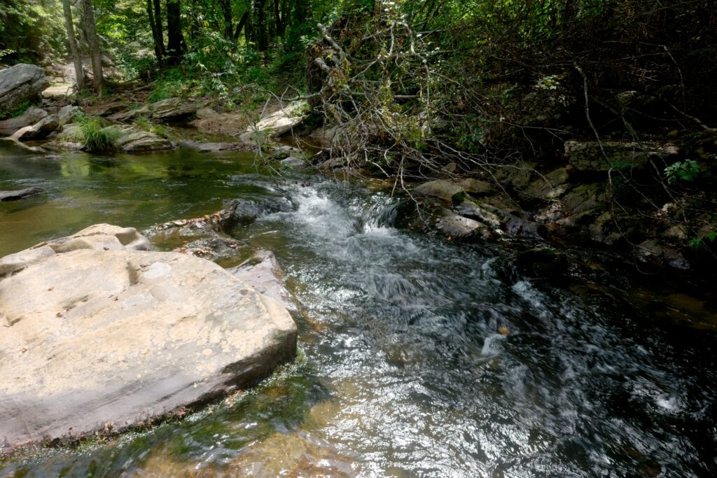
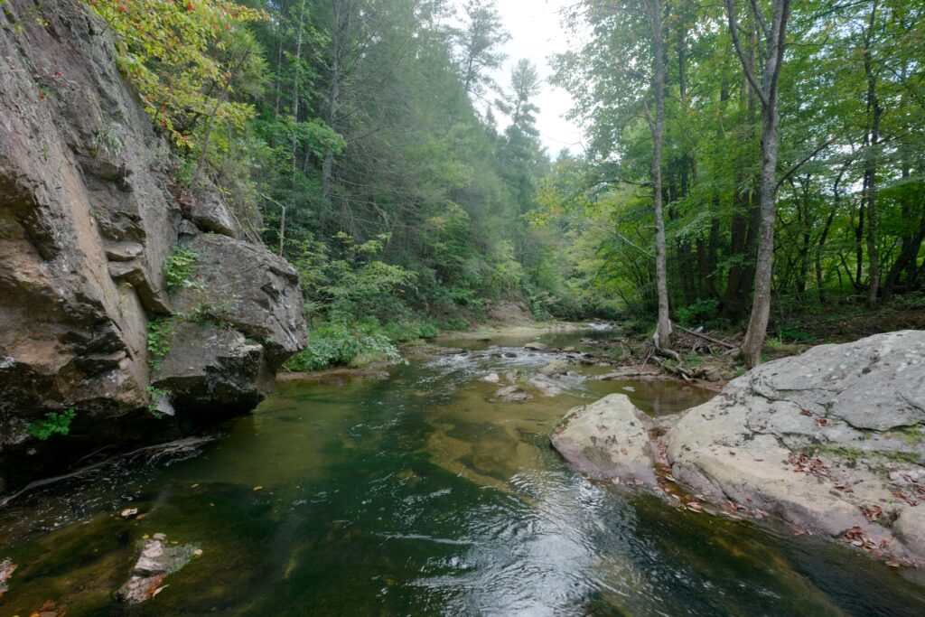
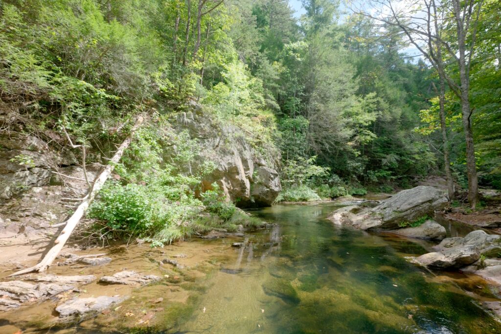
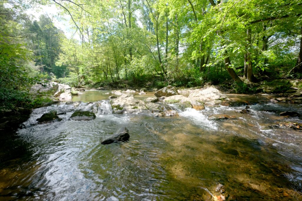
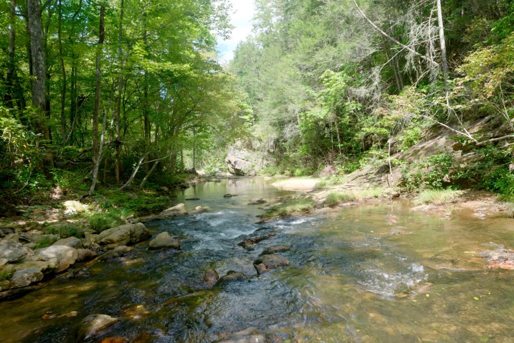
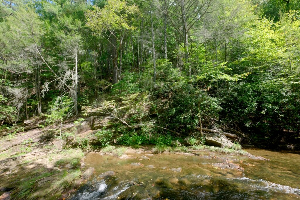
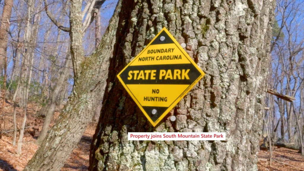
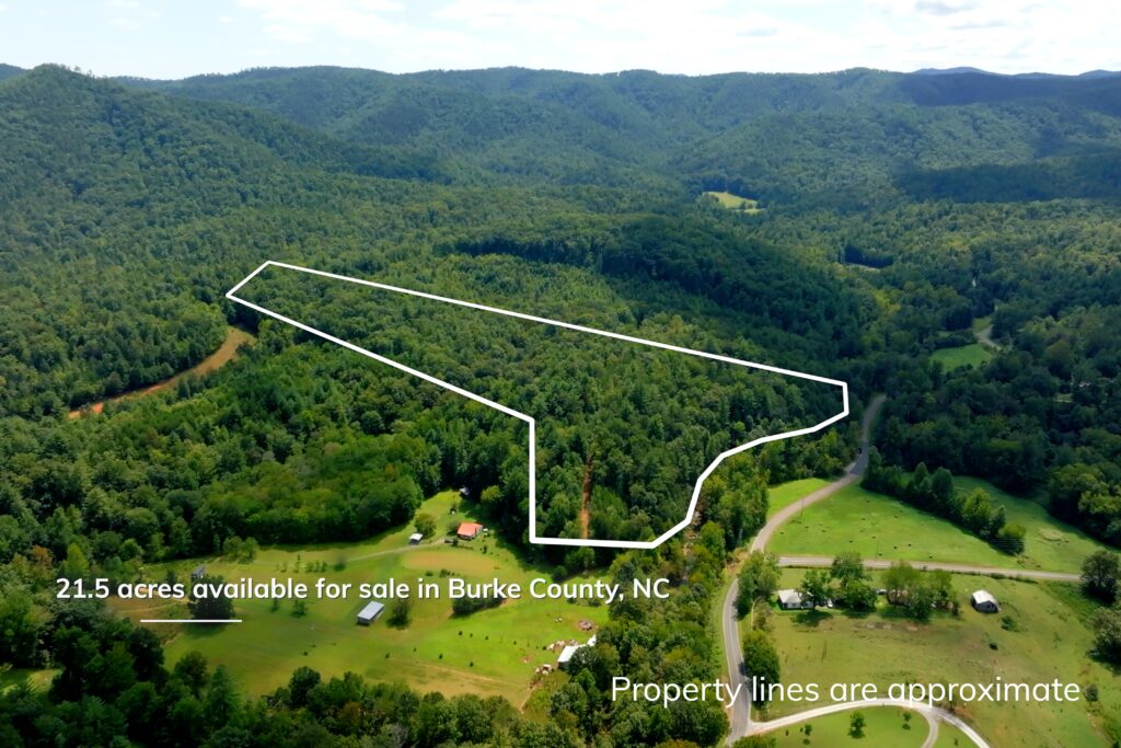
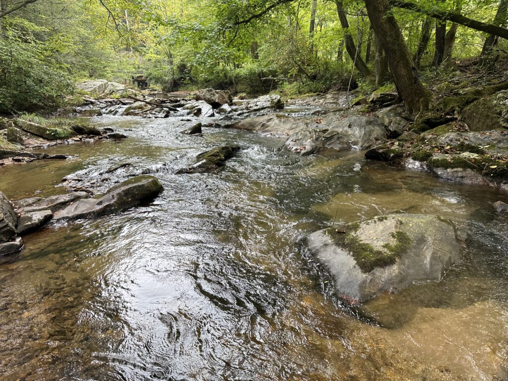
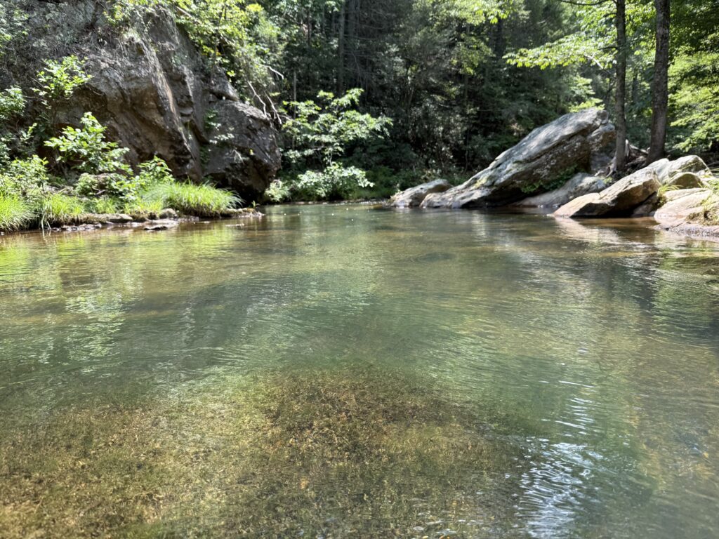
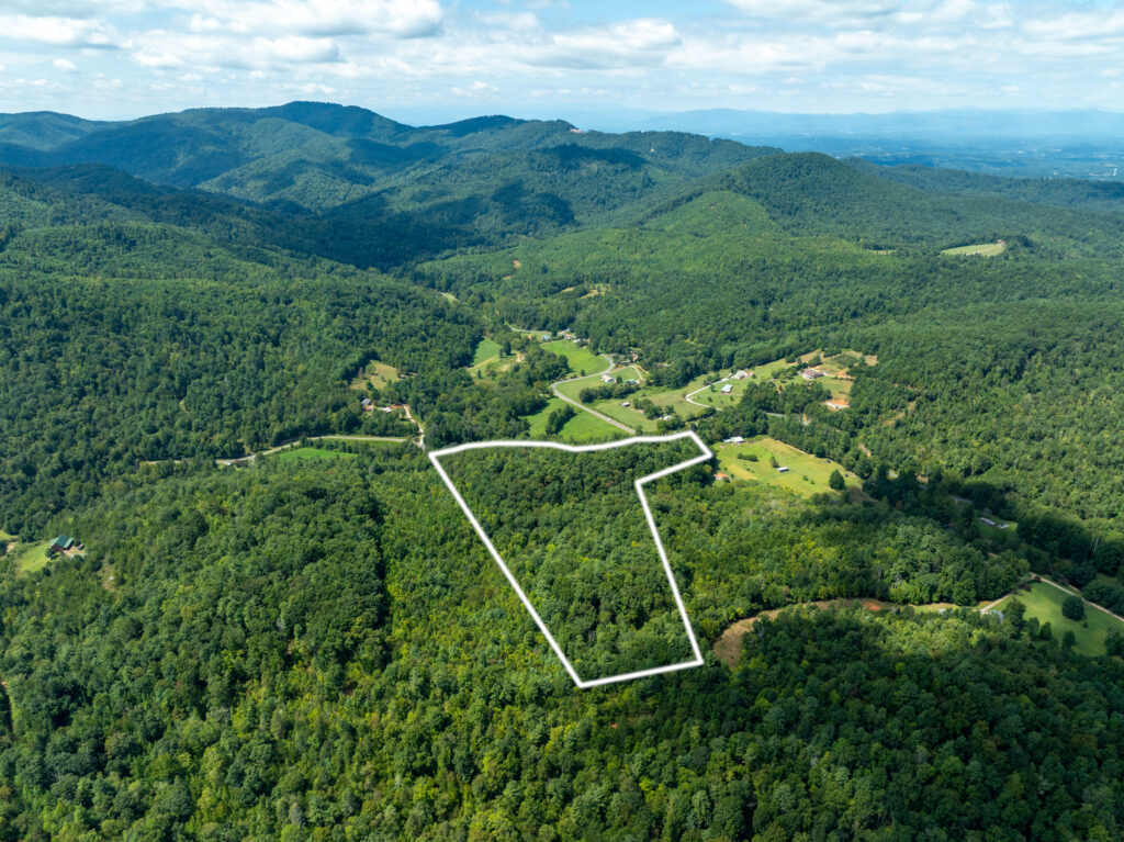
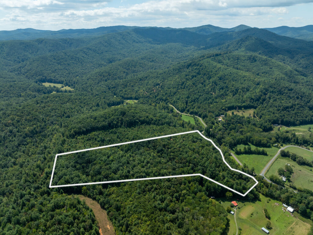
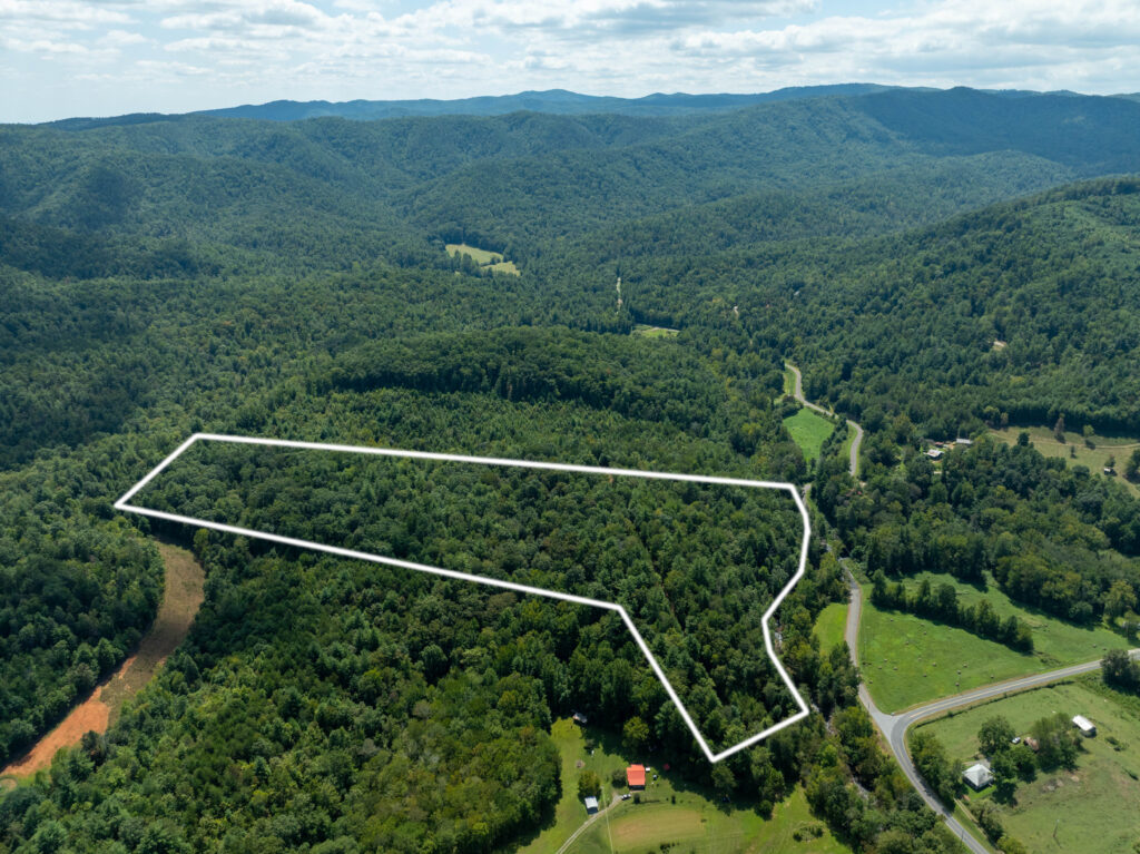
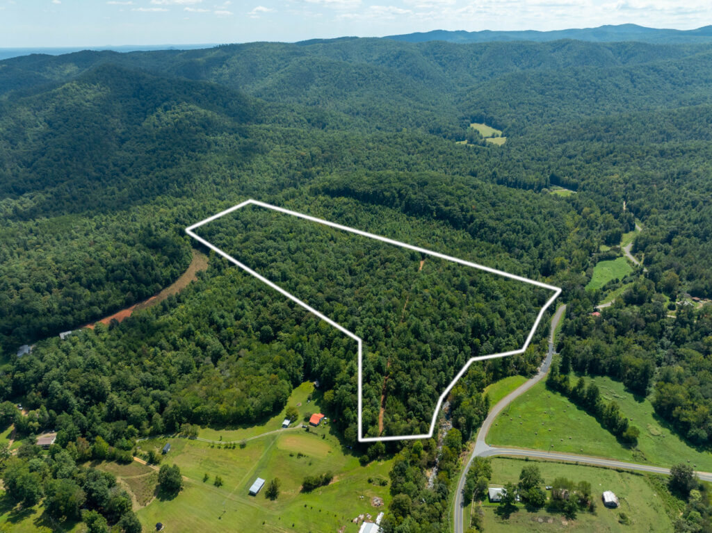
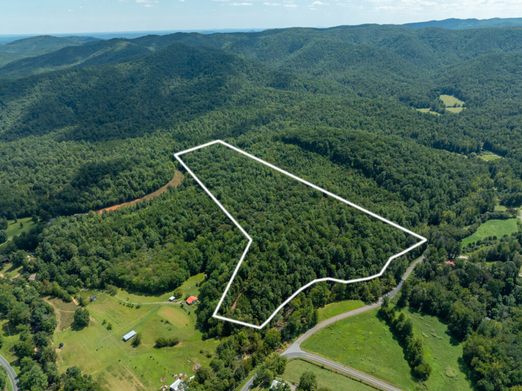
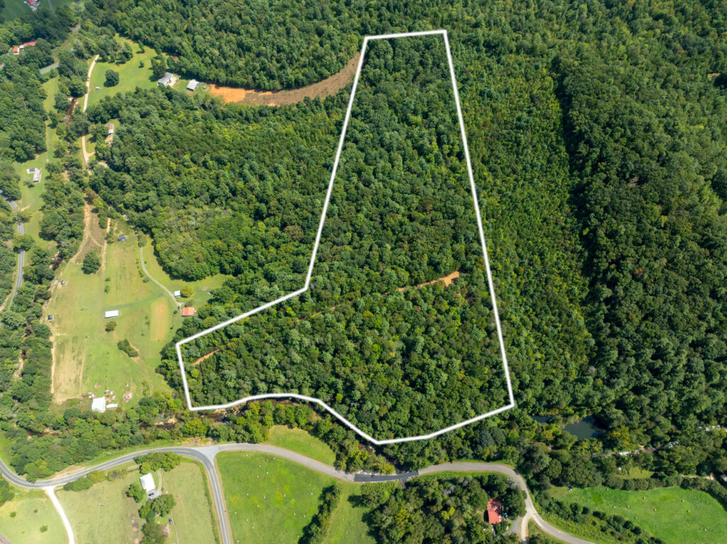
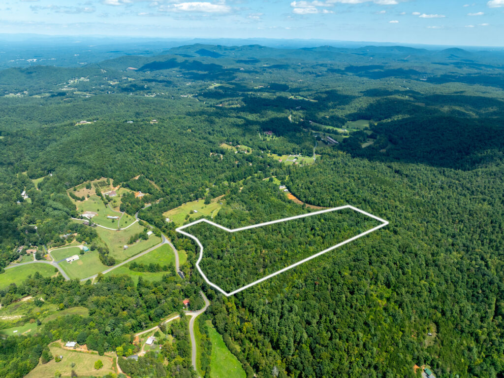
21.5 acres of mountain land on the Henry’s Fork River, offering a combination of privacy, recreation, and flexibility. With 586 feet of direct river frontage and a boundary adjoining South Mountain State Park, 42,596 acres of public land (combined with SM Game Lands)—this property provides access to hiking, hunting, fishing, and outdoor adventure.
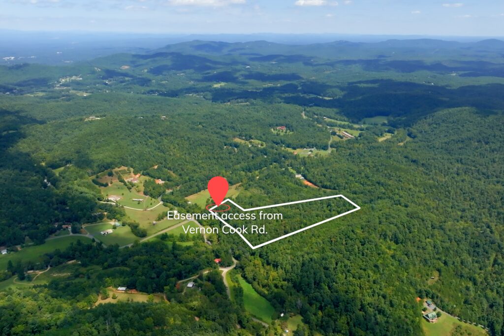
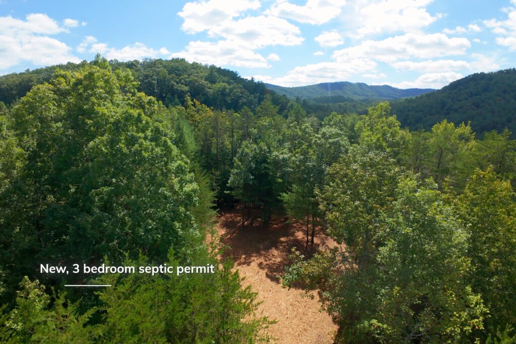
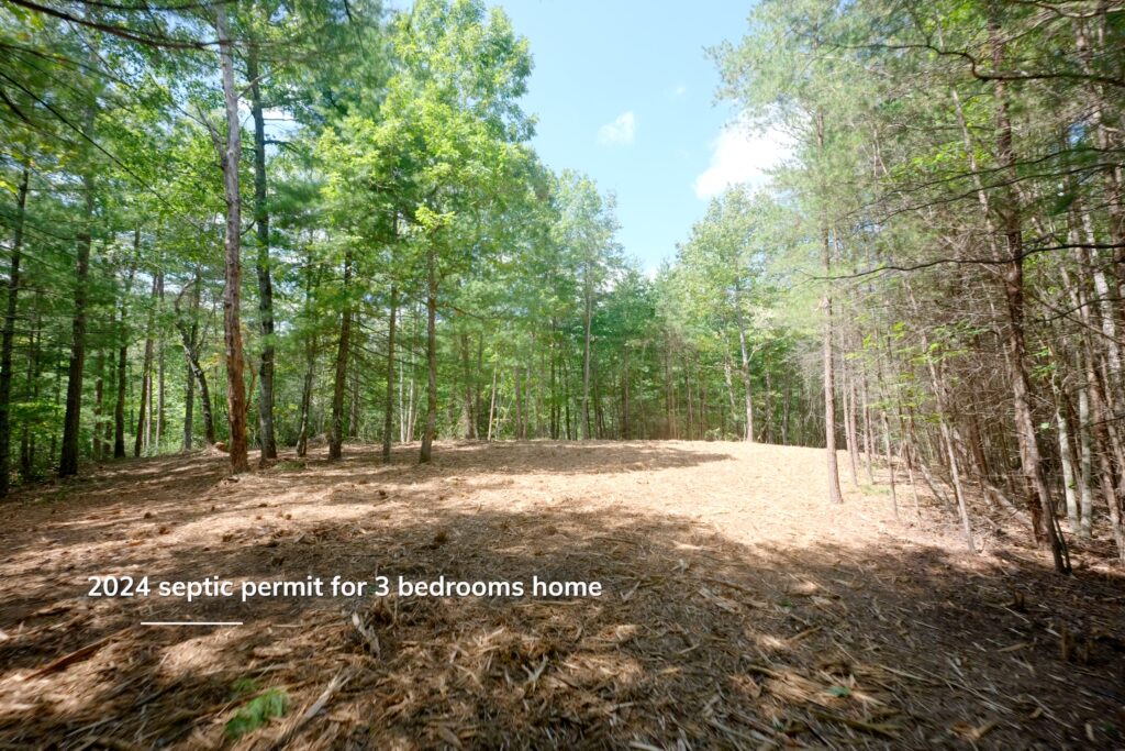
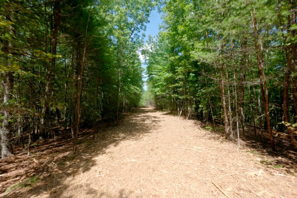
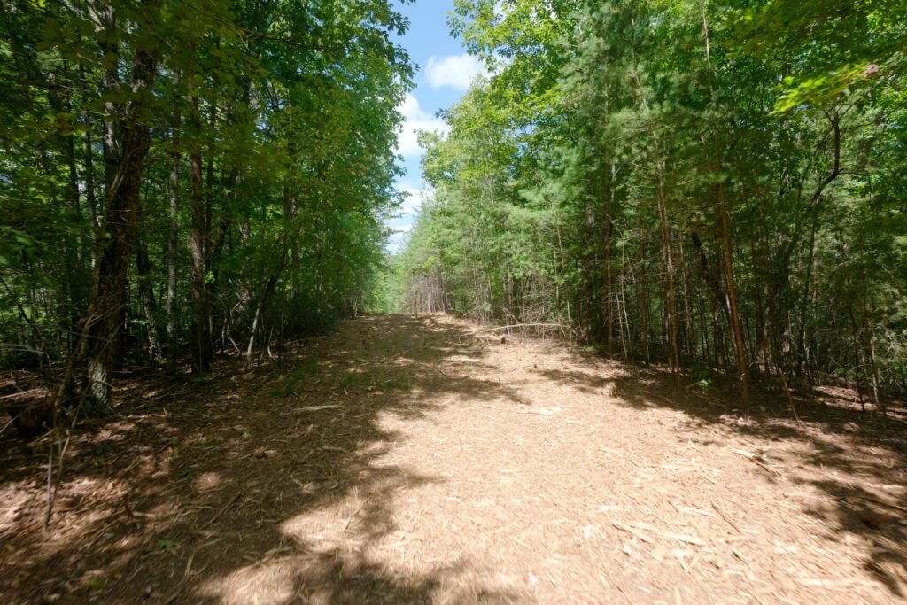
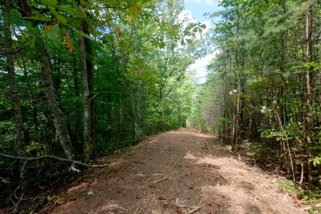
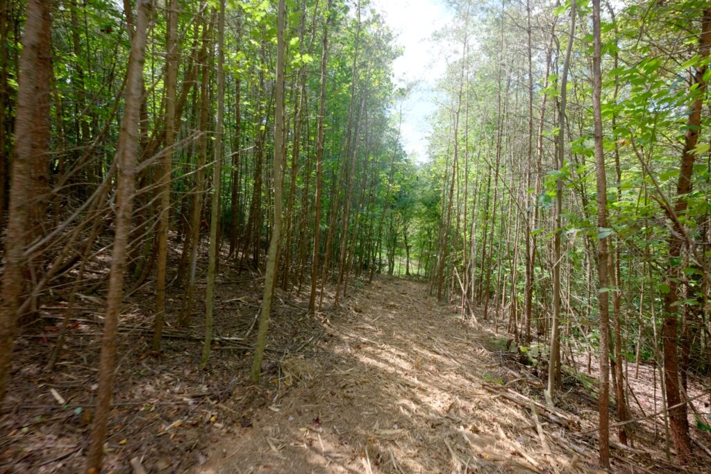
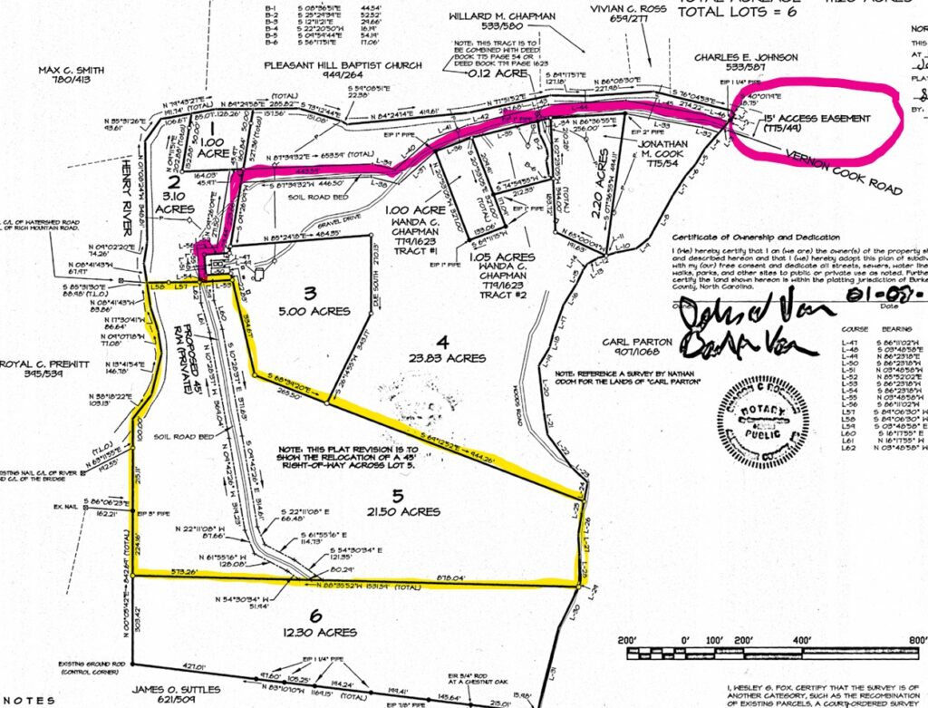
The tract comes with a new 3-bedroom septic permit and is unrestricted—no deed restrictions and the option to further subdivide if desired. Access is provided by a gravel driveway along a shared easement.
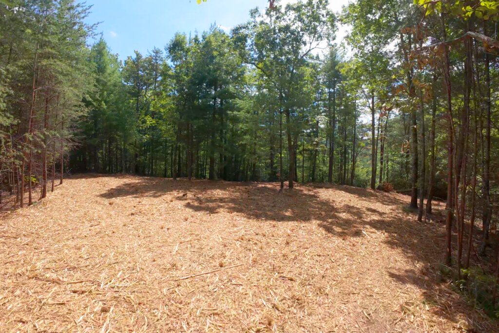
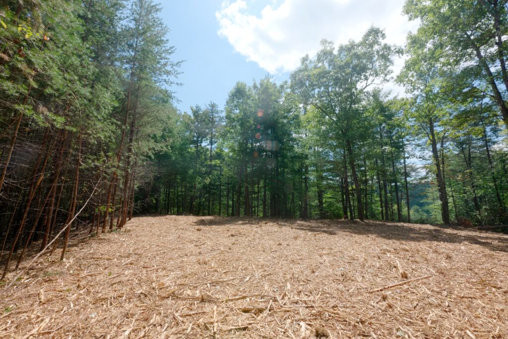
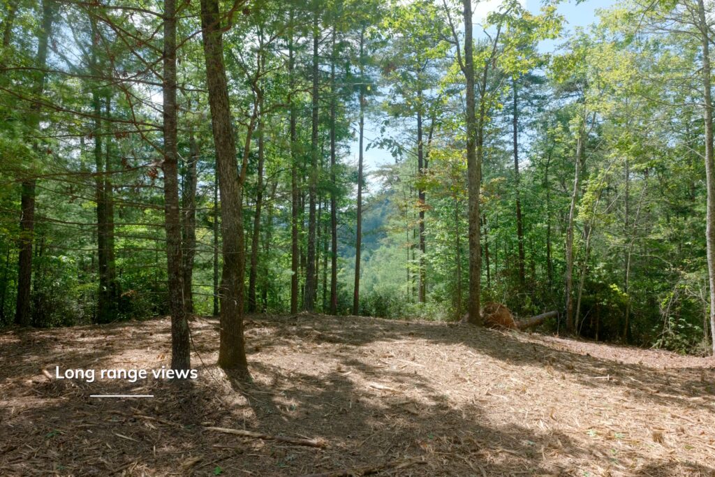
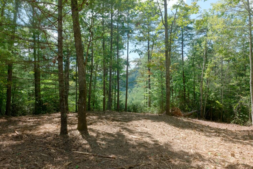
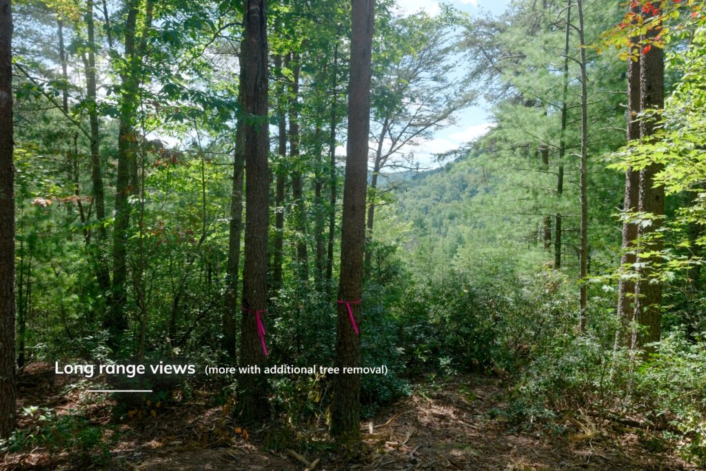
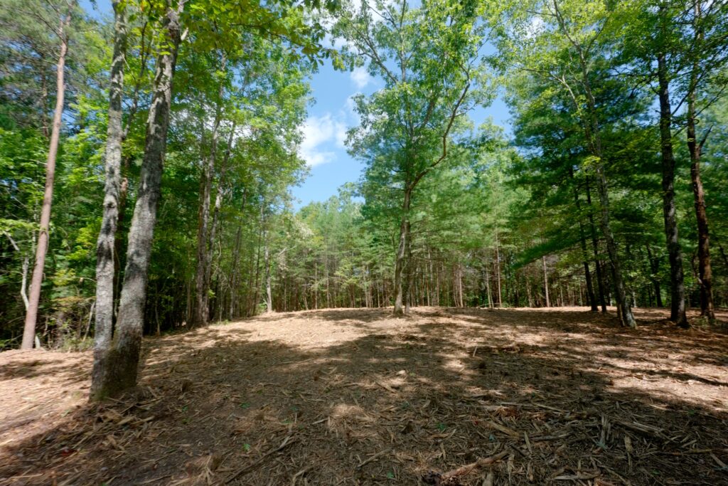
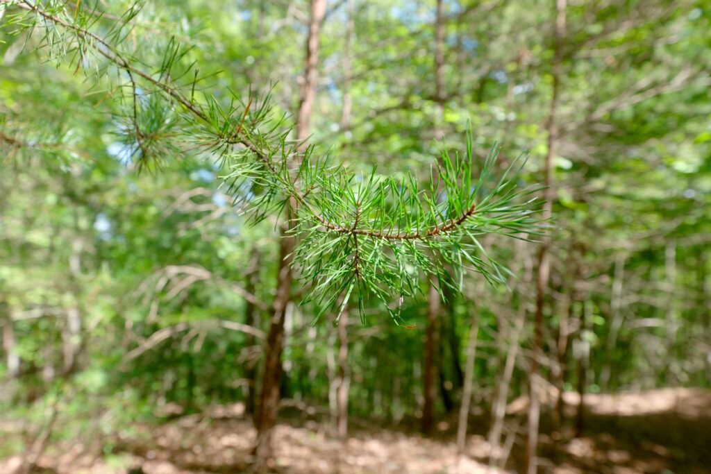
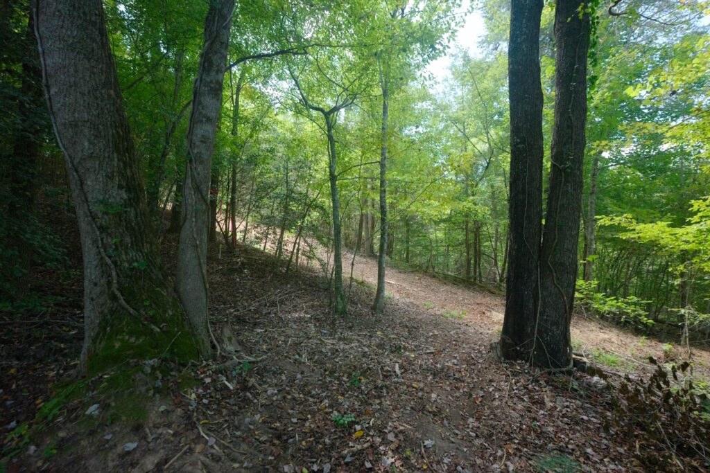
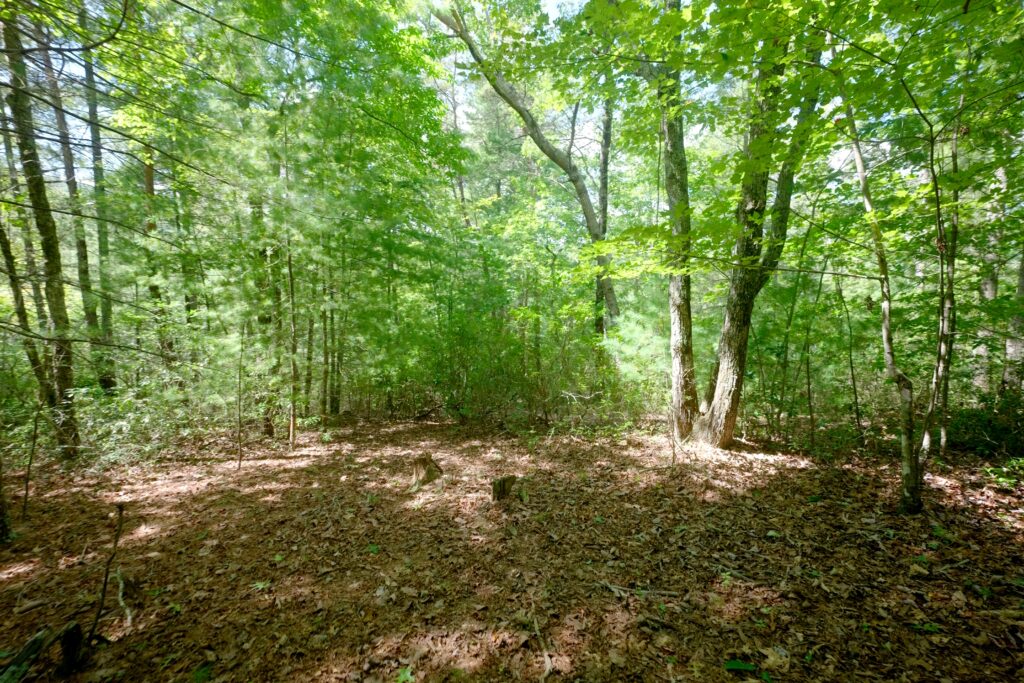
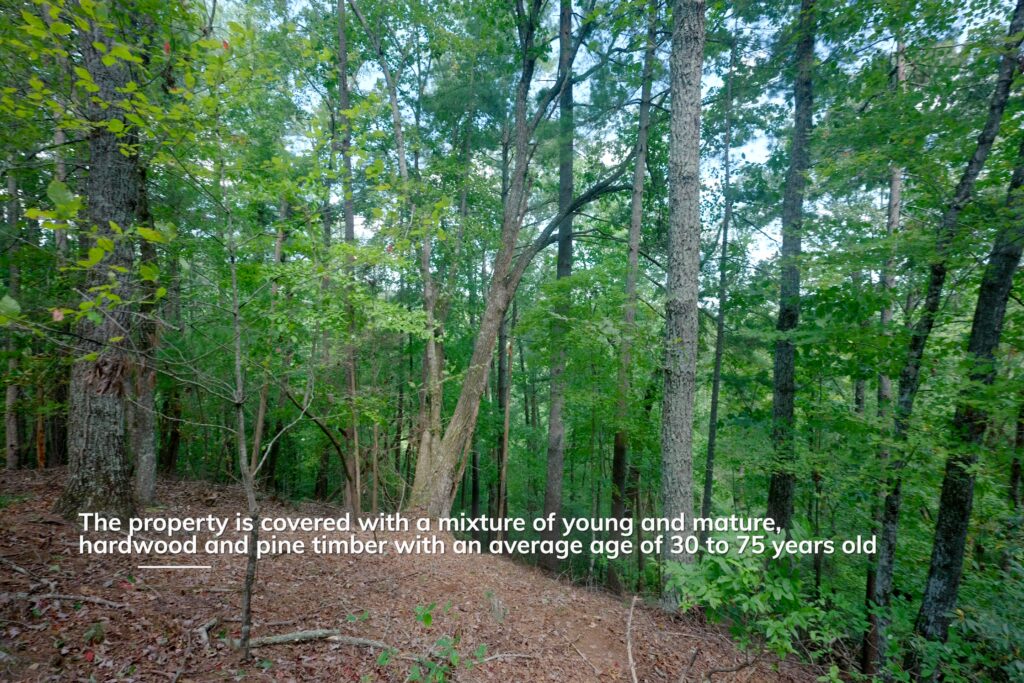
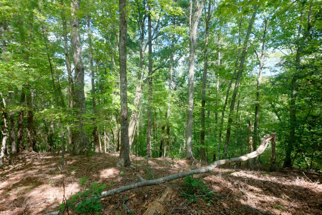
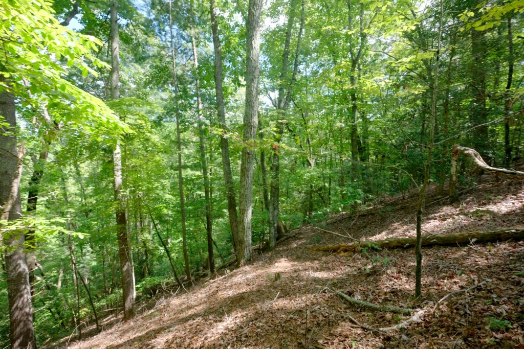
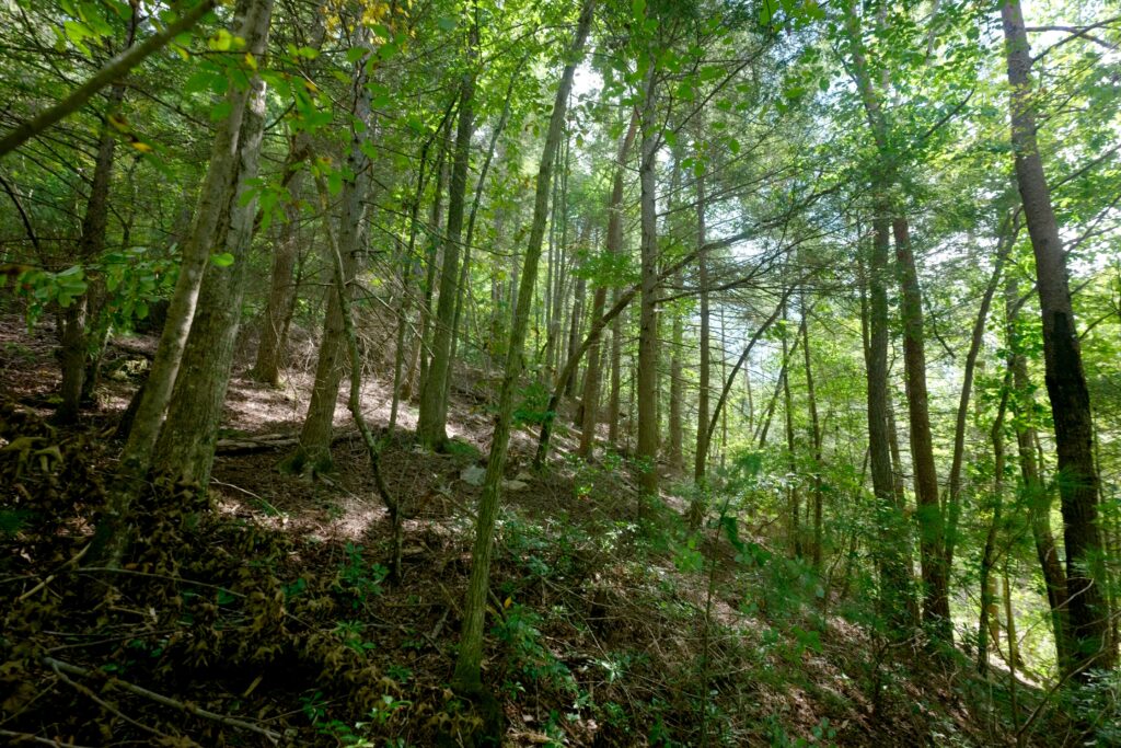
Mountain views and a forest of mixed hardwoods and pines, averaging 30 to 75 years in age surrounds future building site(s) along main ridge. Whether you’re envisioning a riverfront home, a family retreat, or multiple cabins, this property contains many options.
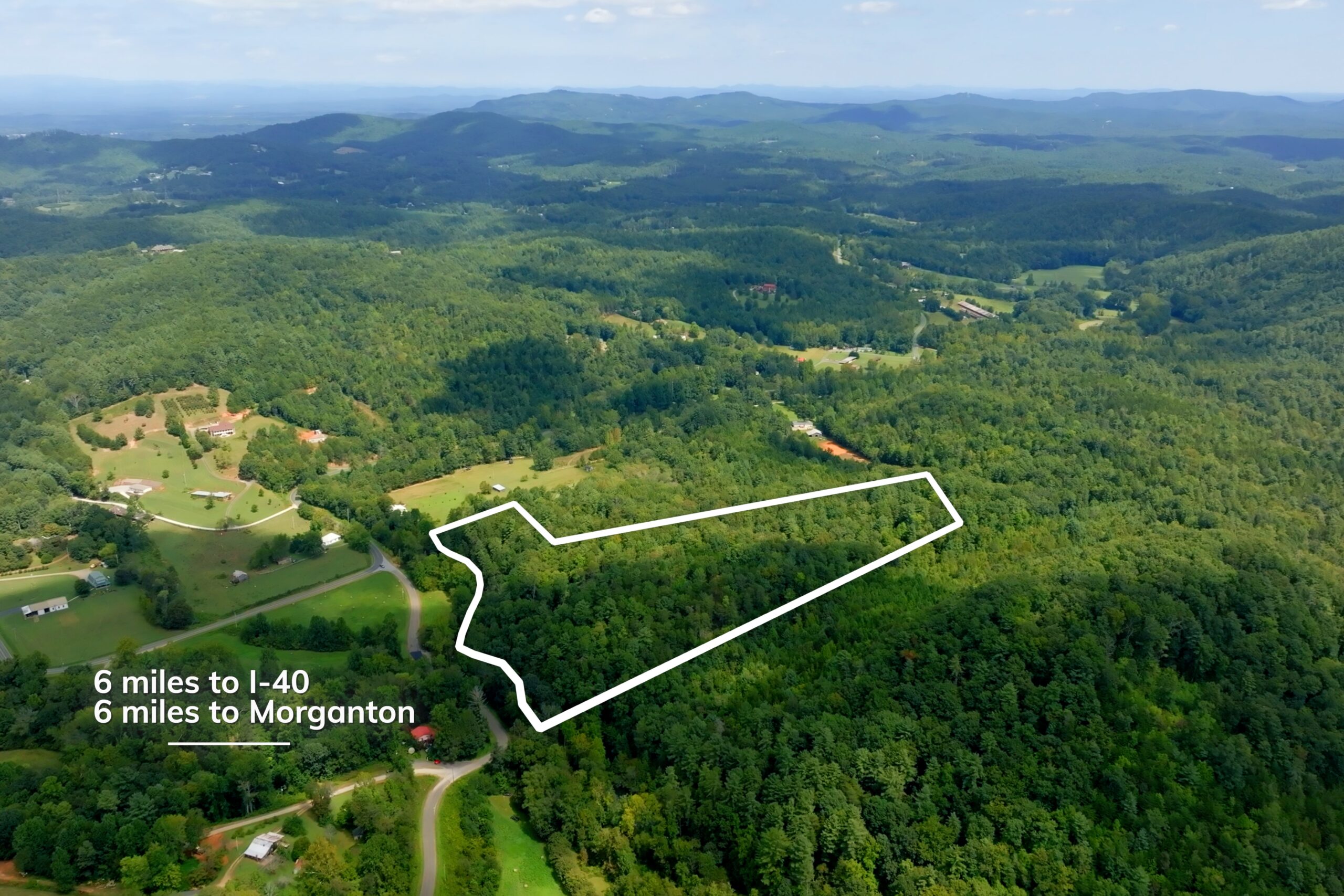
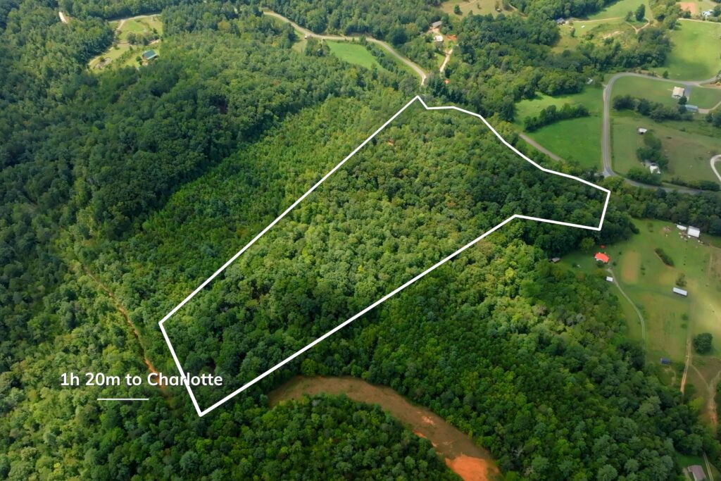
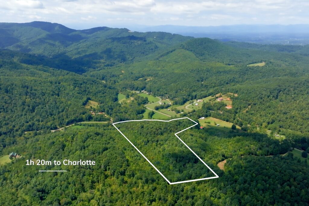
Located just 6 miles from I-40 and downtown Morganton, and about 1 hour 20 minutes from Charlotte, this tract offers both seclusion and accessibility—a rare combination in today’s market.
Property Video
(play full screen for best quality)
Uses
Single Family Residential, Recreation, Forest Production
Parcel Information & Price
| Parcel PIN # | Size (acres) | Price | Status |
| 2619091170 | 21.5 | $219,000 | Available |
Property Features
- 21.5 acres of scenic mountain land on the Henry’s Fork River
- 586 feet of direct river frontage
- Adjoins South Mountain State Park ~ 42,596 acres of public land (including S.M. Game Land)
- No deed restrictions
- Option to further subdivide
- Access provided by a shared easement
- New 3-bedroom septic permit
- Mountain views
- Mixed forest of hardwoods and pines (30–75 years old)
- Ideal for a riverfront home, retreat, or multiple cabins
- Blend of seclusion, accessibility, and recreational opportunities
Distances
- walk to South Mountain State Park
- 6 miles from I-40 and downtown Morganton
- 1 hour 20 minutes from Charlotte
Property Maps & Attachments (click to view)
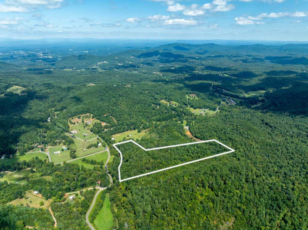
- Aerial Map I
- Aerial Map II
- Vintage Topo Map
- Septic Permit
- Survey
- Location Map
- Google Map
- Mineral Oil and Gas Rights Disclosure
- Vacant Land Disclosure Form
- Form 220
Directions & Coordinates
From Watershed Road take Bob Knob Road 0.1 miles crossing bridge and turning right on Vernon Cook Road, continue 0.5 miles to start of property. Please be sure to use interactive map (click map above) from your smart phone to navigate property with the free Land ID app. You must download the free Land ID to see where you stand on the interactive map.
Entrance Coordinates 35.6437, -81.6605
Property Photographs


Contact
JOHN SHIPLEY
336-497-0749
info@theshipleyco.com
DISCLAIMER:
Information taken from reliable sources and thought to be correct. Potential buyers should perform their own due diligence and verify all information.
21.5 acre Burke Co, NC