Description
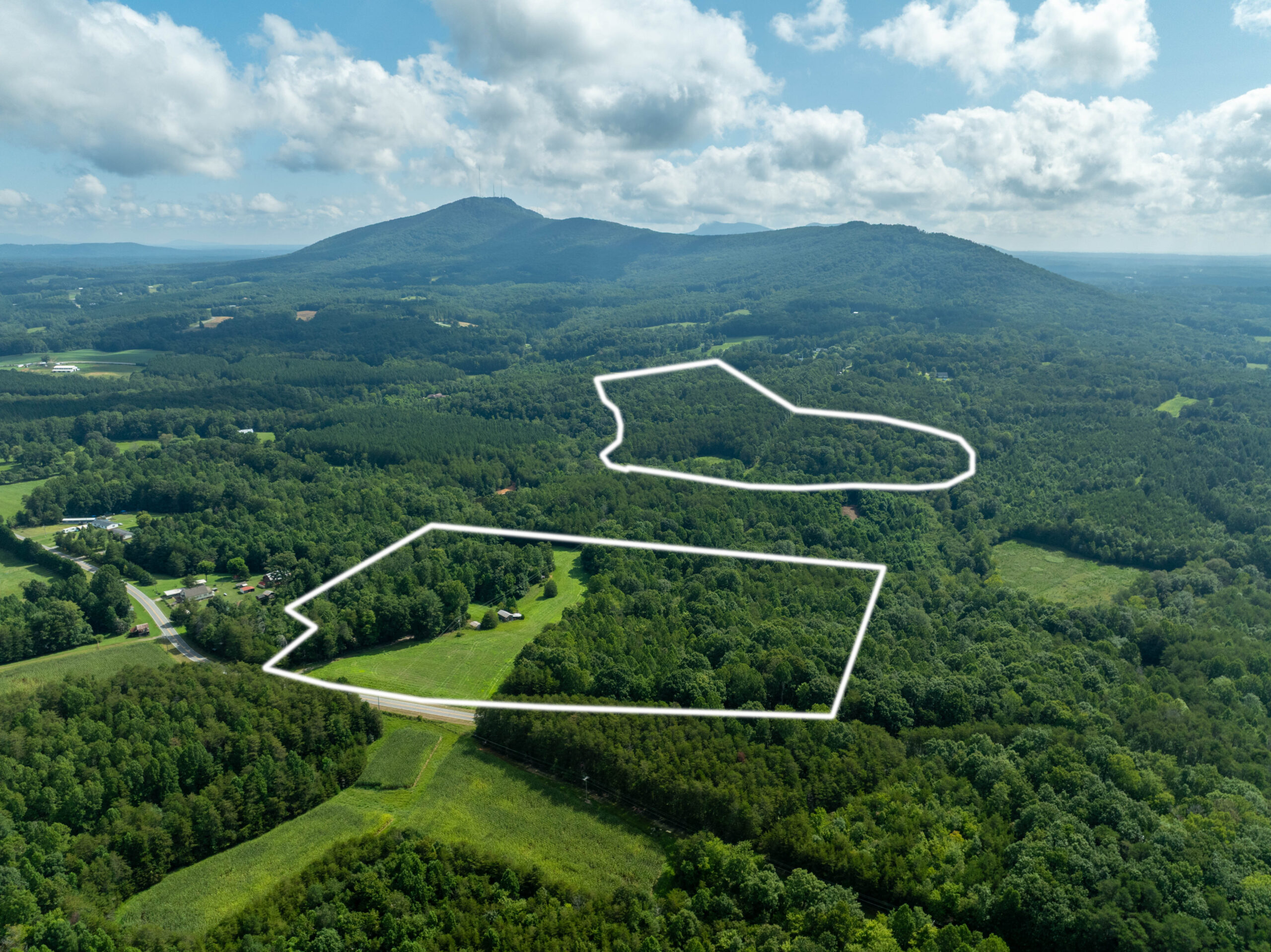
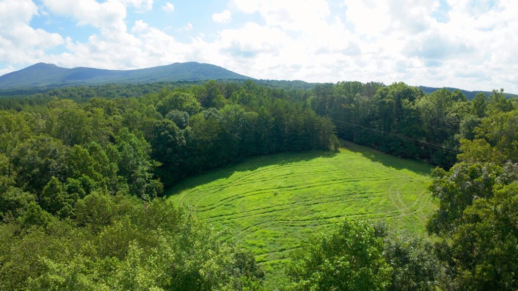
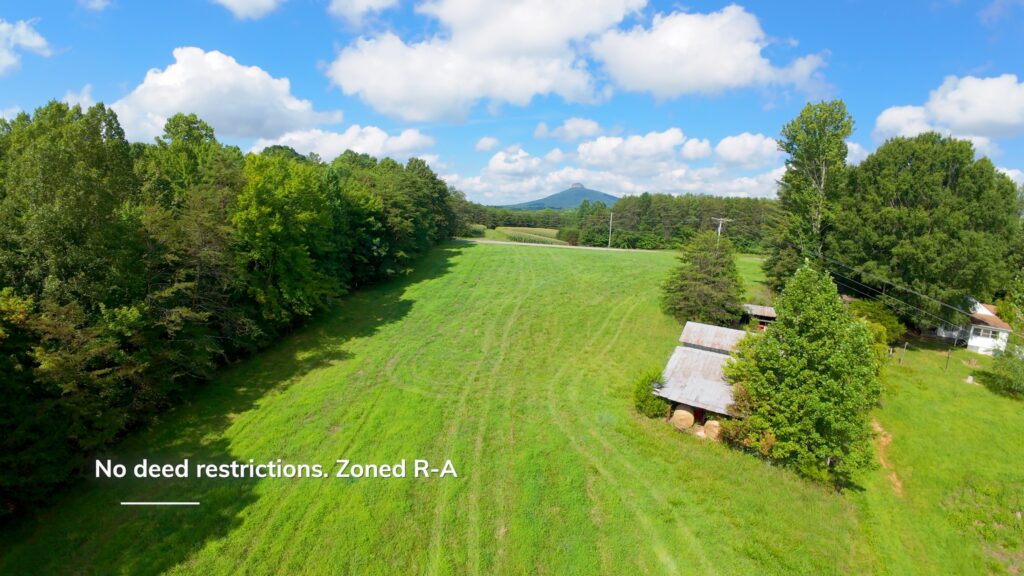
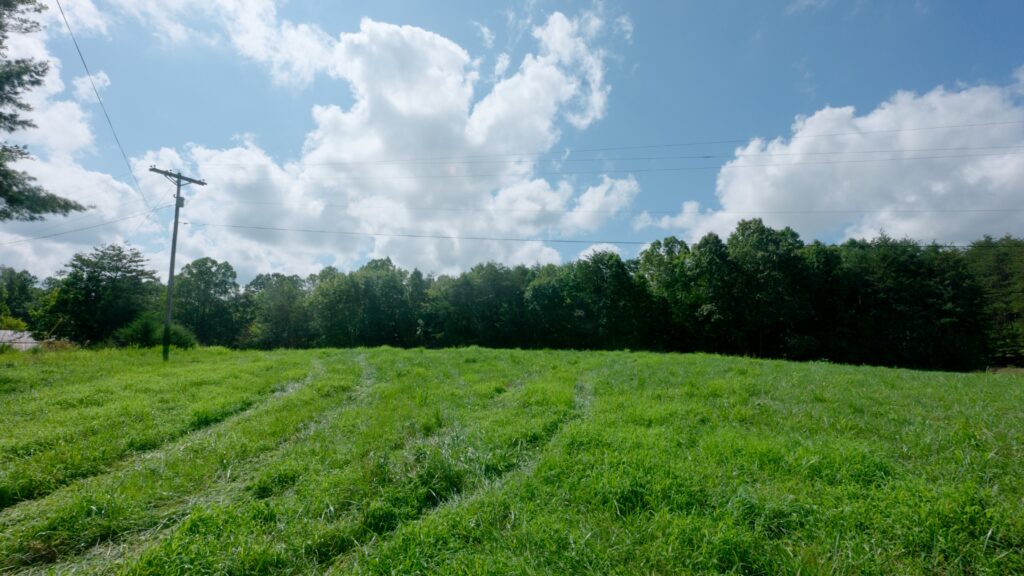
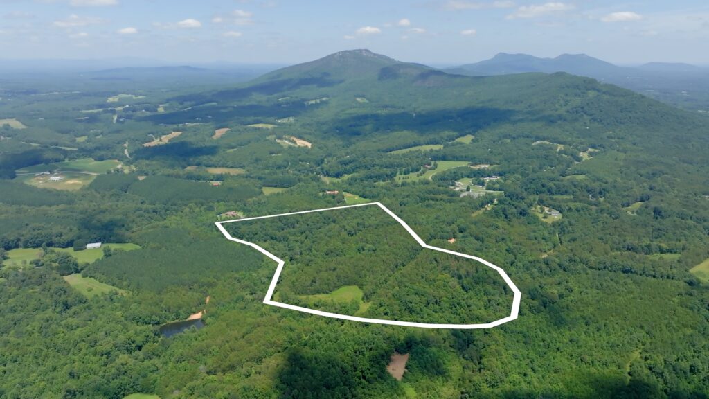
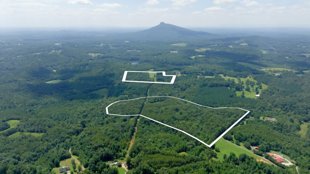
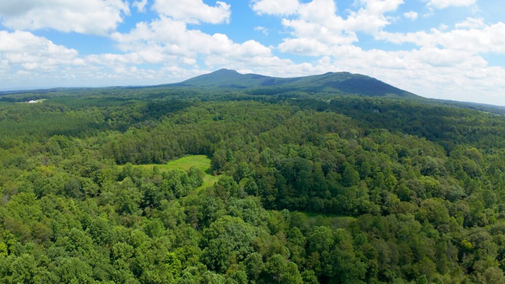
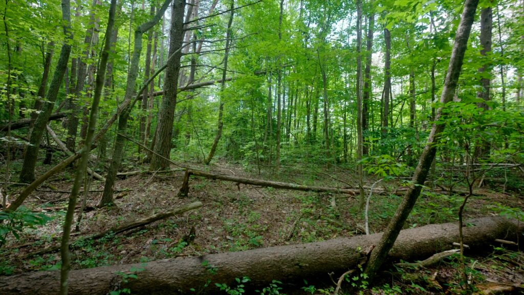
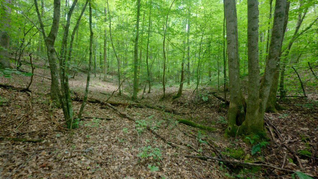
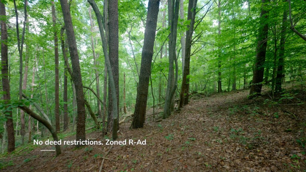
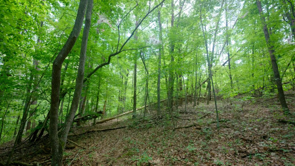
18± acres and 46± acre tracts offering a mix of hay field and mature hardwood forest, set in quiet countryside 7 miles from King, NC. These properties feature open fields and established hardwood mixed pine forests, with paved public road frontage (Tract I only). No deed restrictions mean flexible options for future improvements or use. Enjoy clear views of the Sauratown Mountains from the property and located just 20 min from Winston Salem and close to Pilot Mountain and Hanging Rock State Parks. Low county property taxes at 0.7% help keep expenses down. This is a strong opportunity for buyers seeking manageable acreage, existing infrastructure, and rural privacy with fast access to nearby towns and attractions. Schedule a tour and see if this property fits your plans.
Property Video
(play full screen for best quality)
Uses
Single Family Residential, Farm, Timber Production, Recreation, Investment
Parcel Information & Price
| Tract # | Size (acres) | Price | Status |
| I | 18.4 | $255,000 | Closed |
| II | 46 | $- | Waiting to Market for Sale |
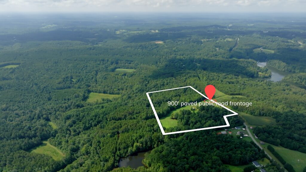
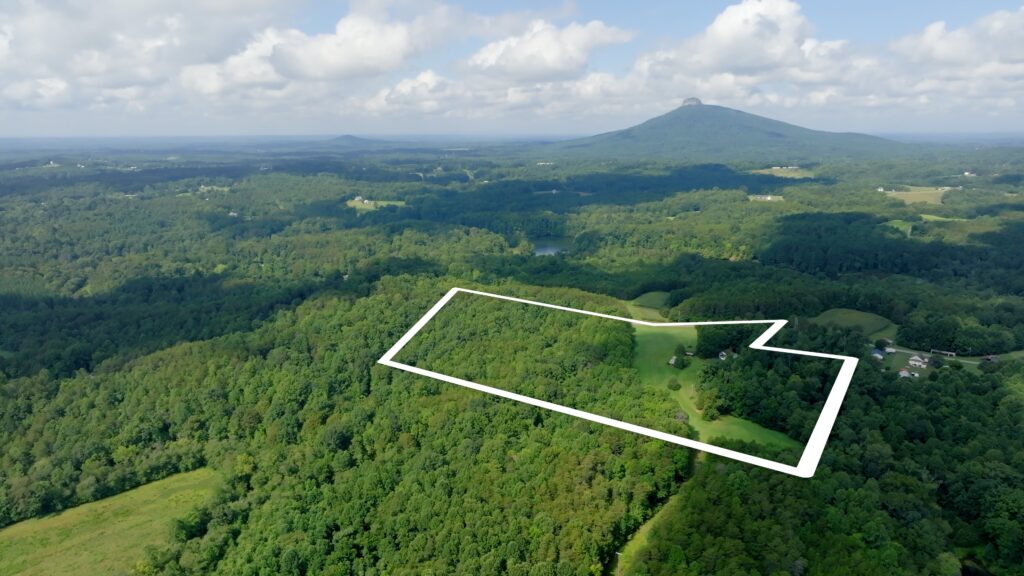
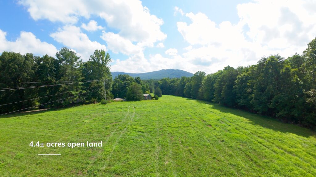
Property Features Tract I
- 18± acres made up of 3 tax parcels
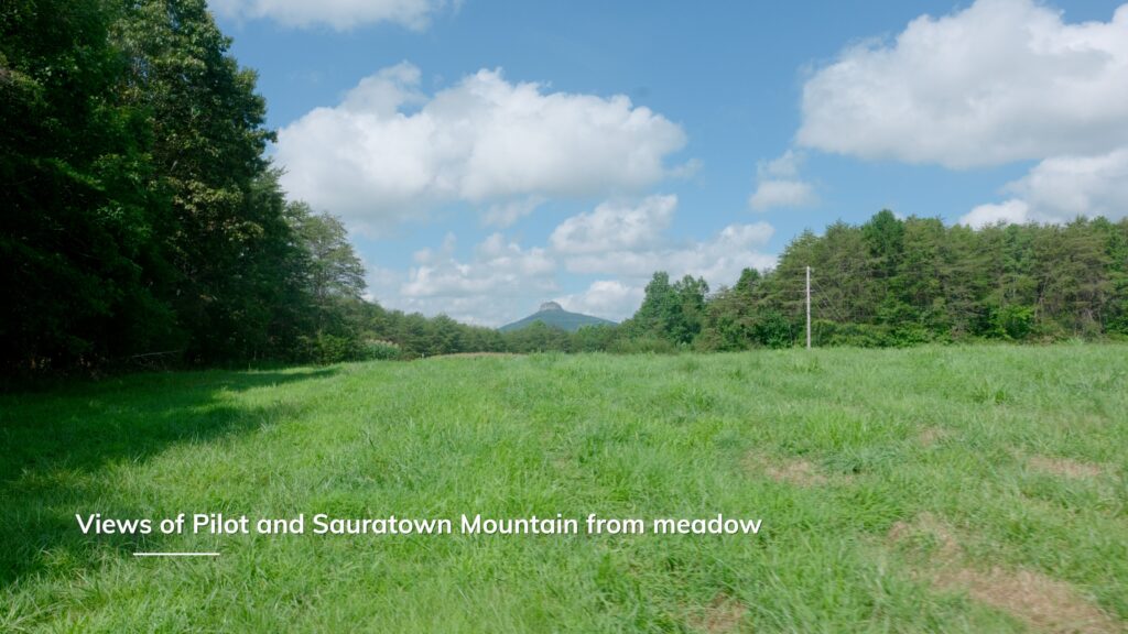
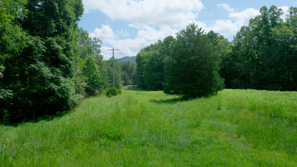
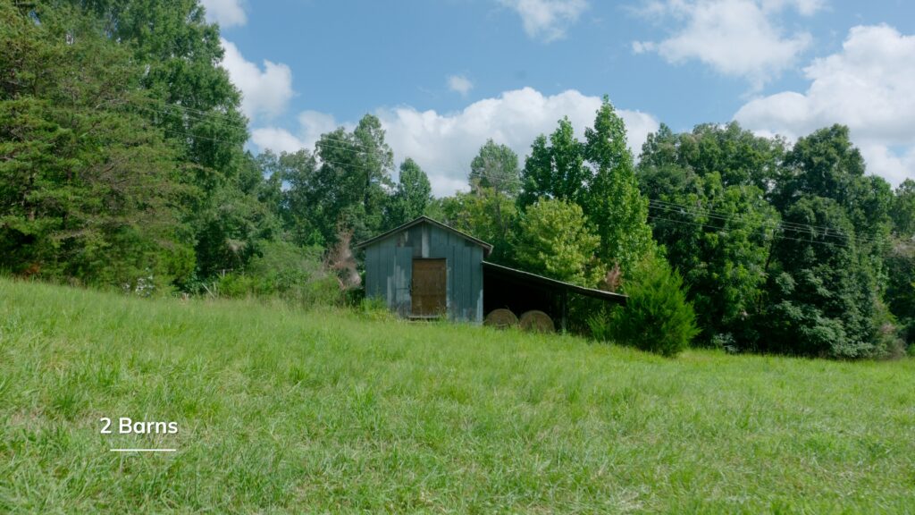
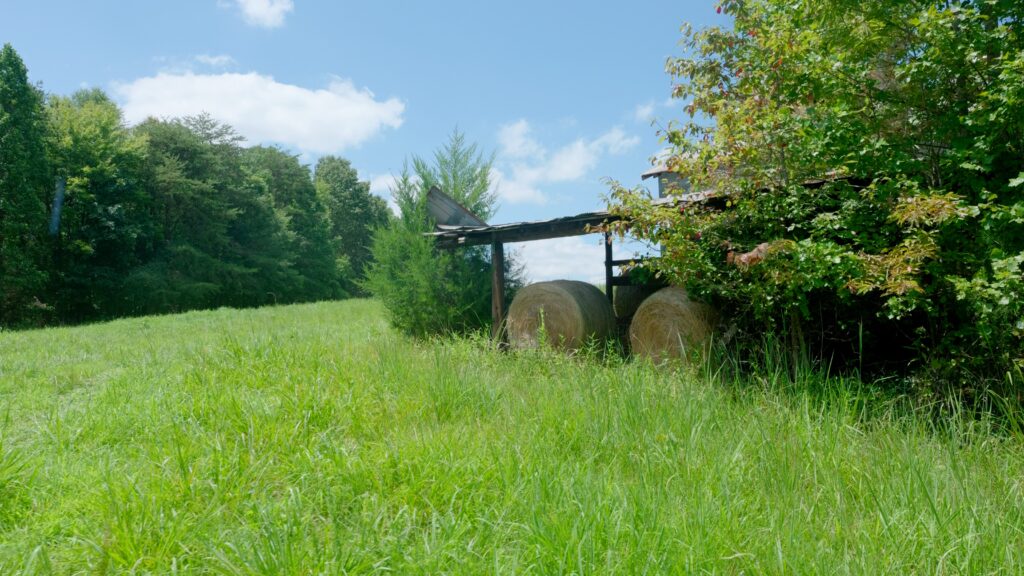
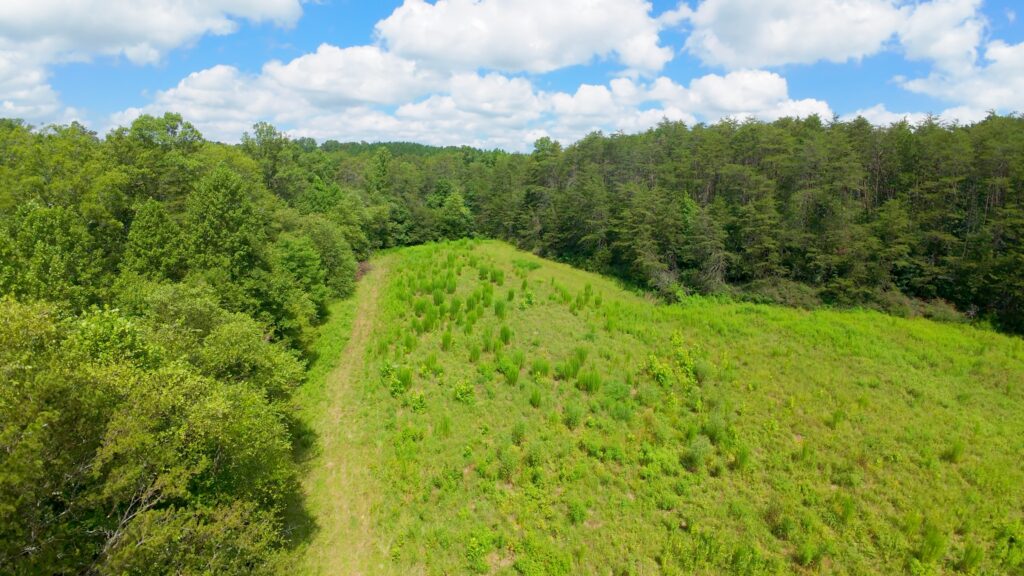
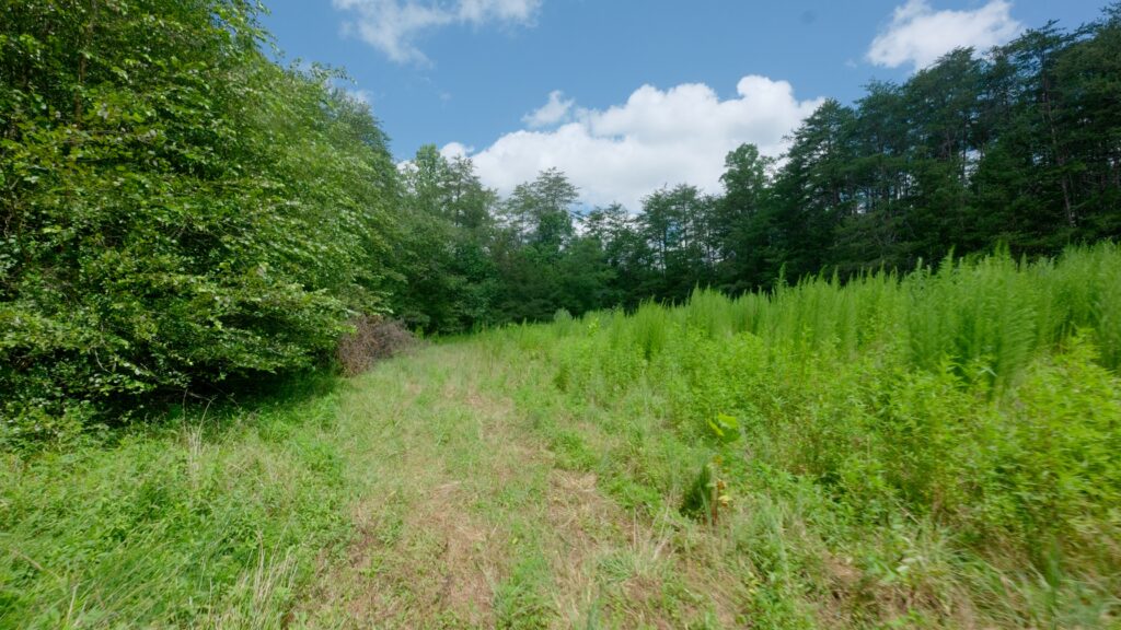
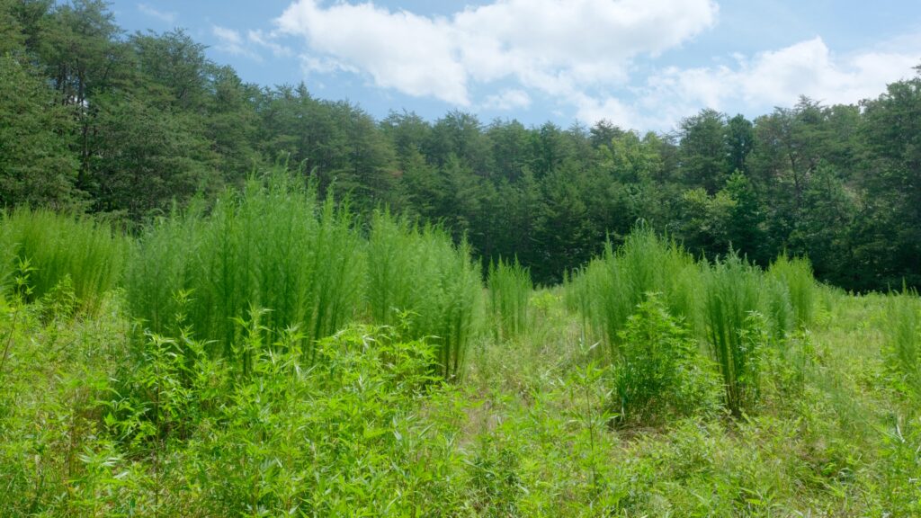
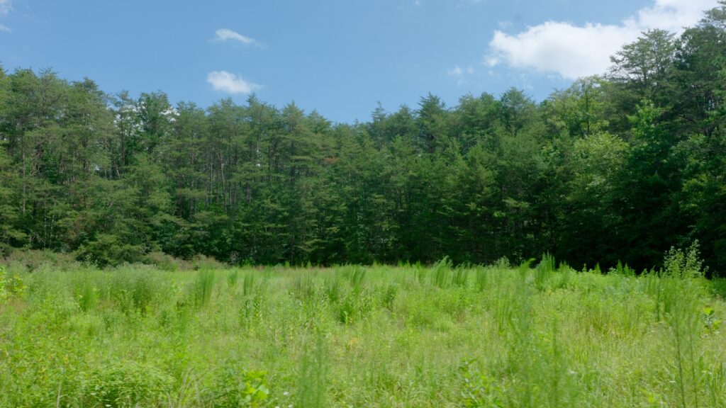
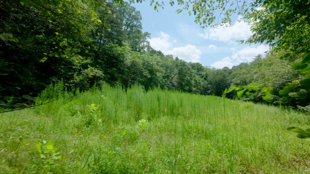
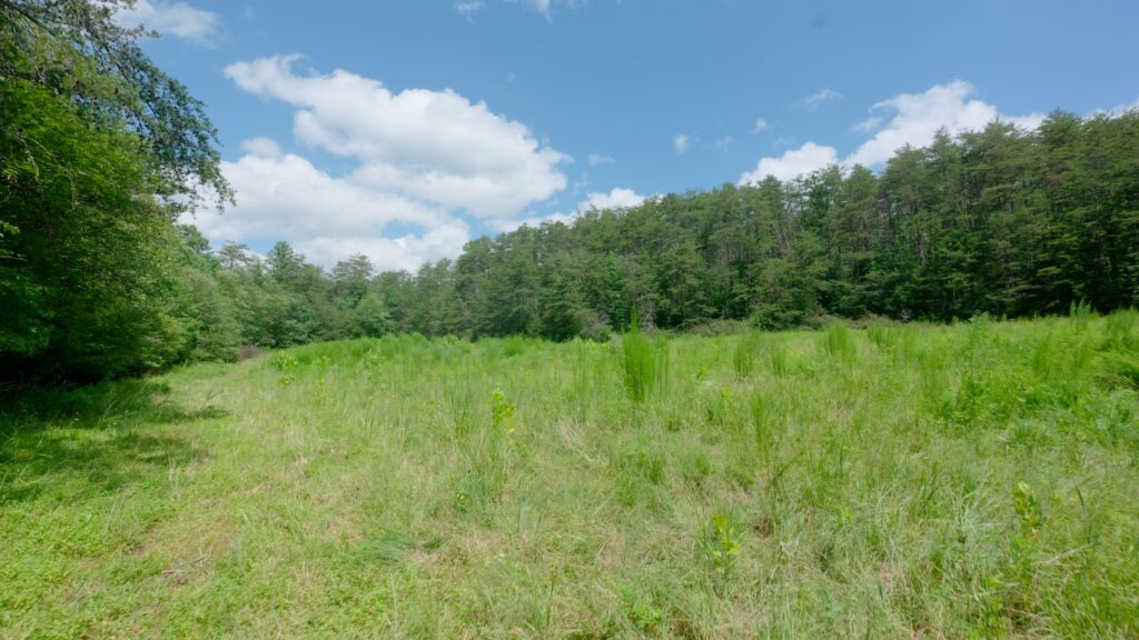
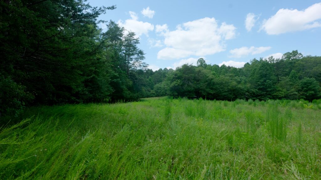
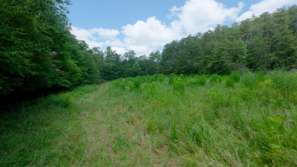
- 4.4± acres open hay field
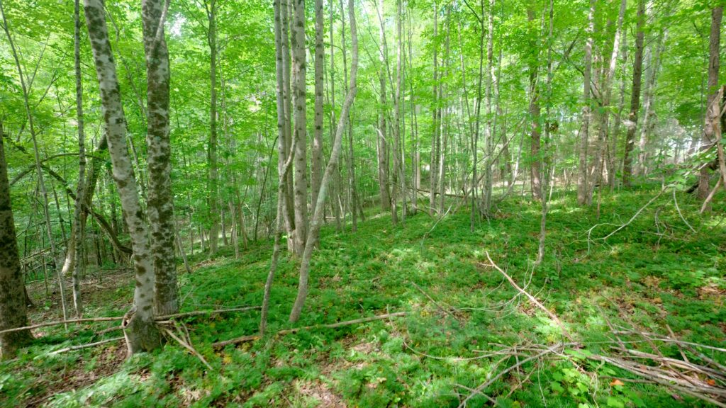
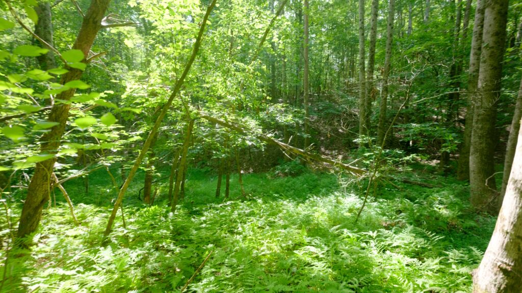
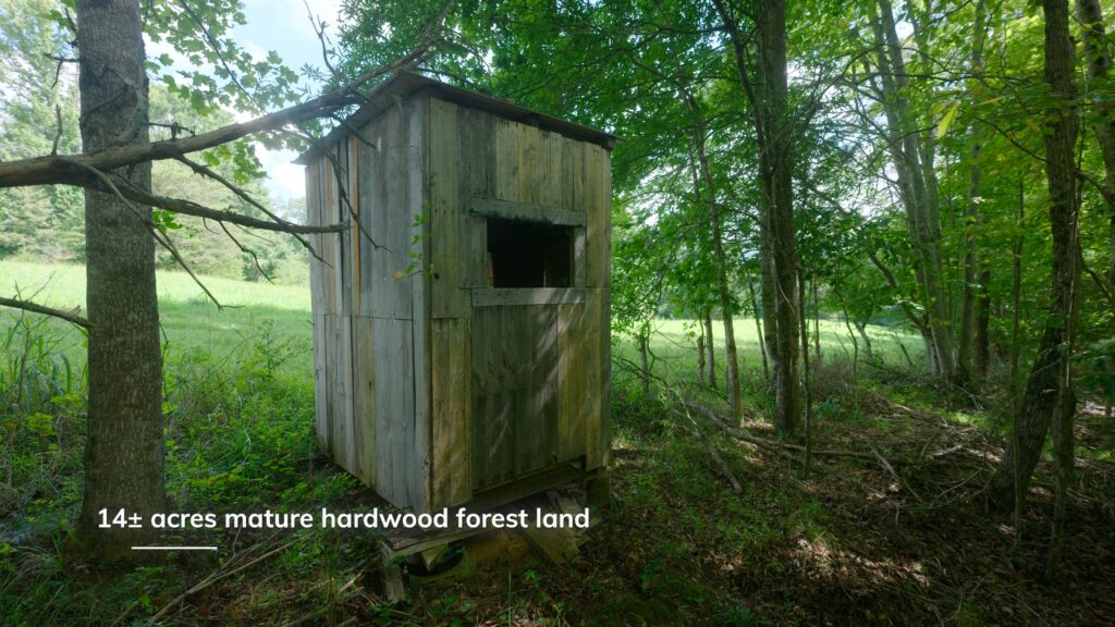
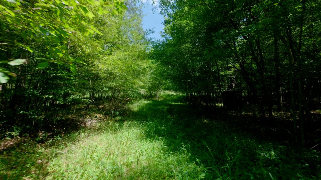
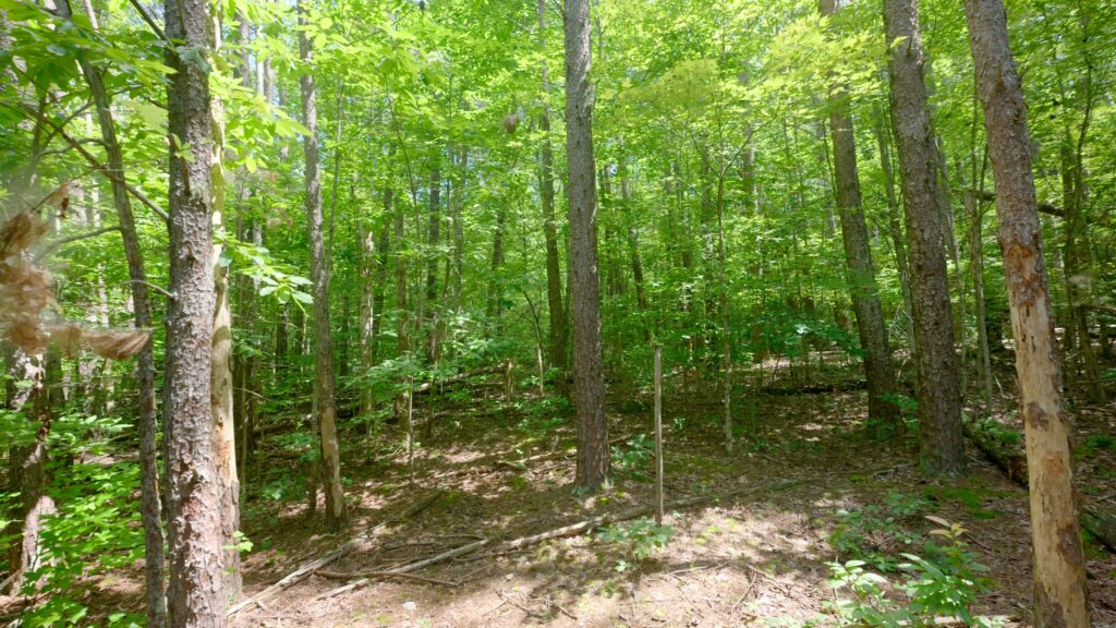
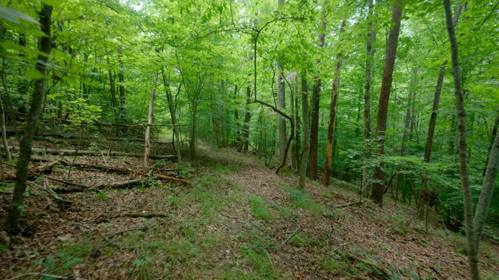
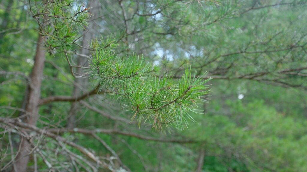
- 14± acres mature hardwood forest
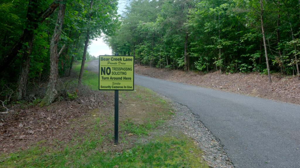
- 900± feet paved public road frontage
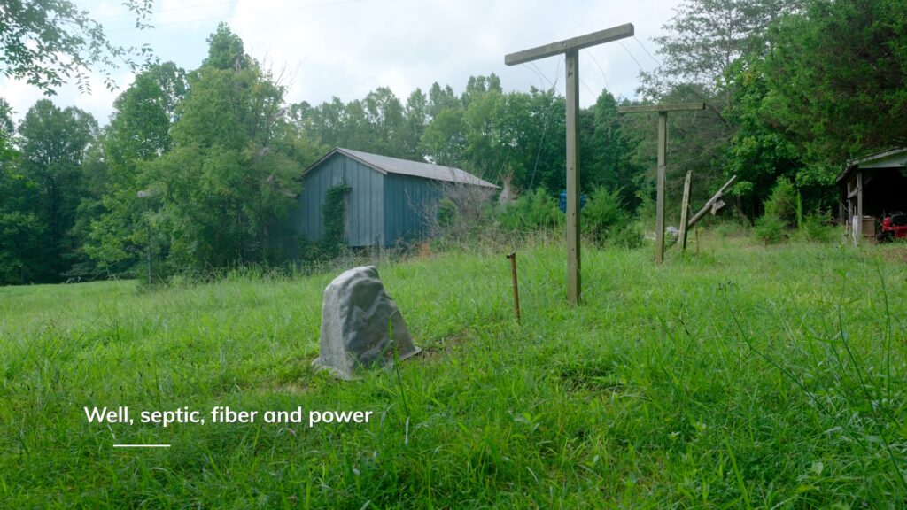
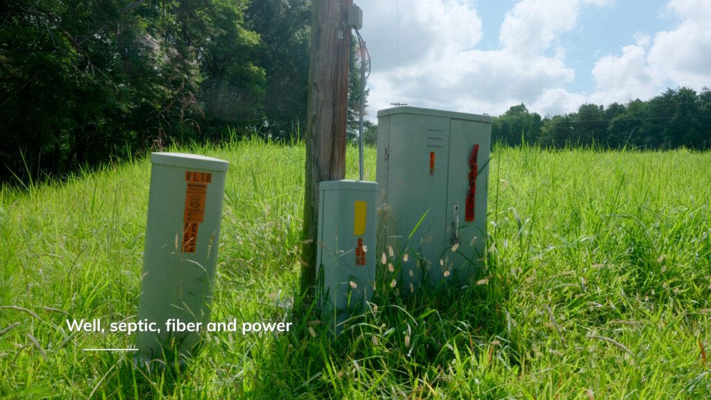
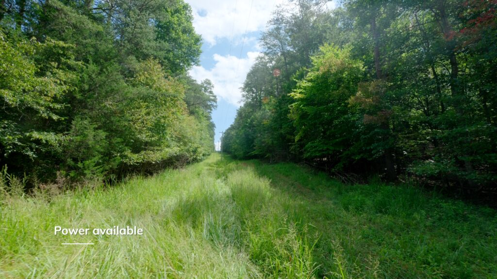
- Power available
- Fiber available
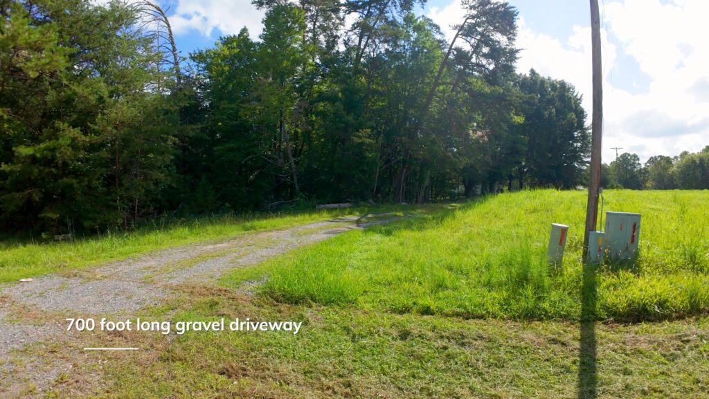
- 700± feet long gravel driveway
- No deed restrictions
- Views of Sauratown Mountains
- 2013 drilled well
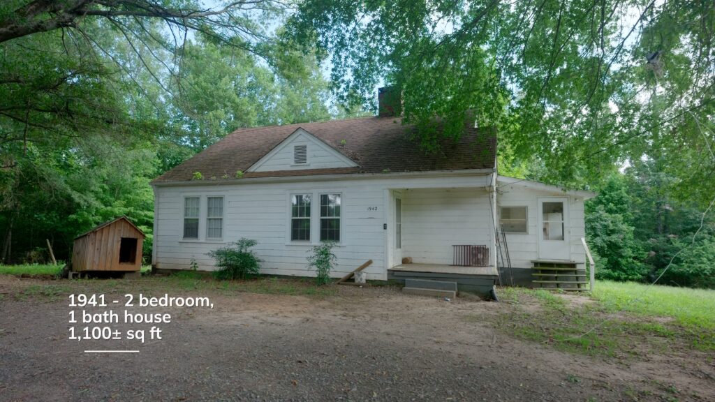
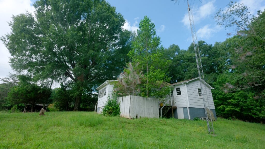
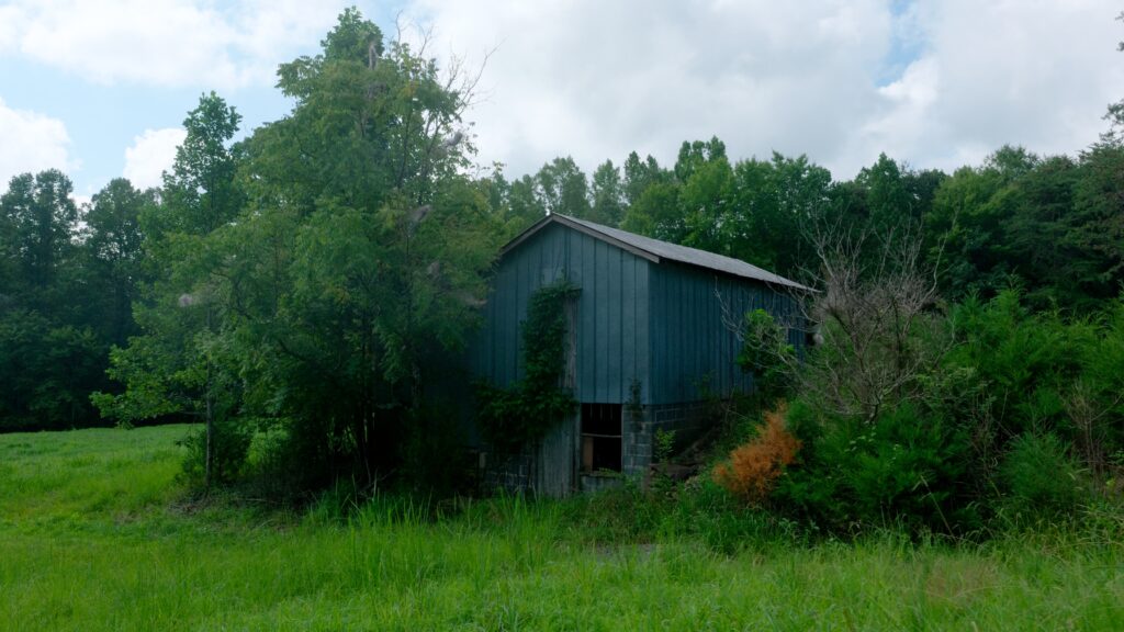
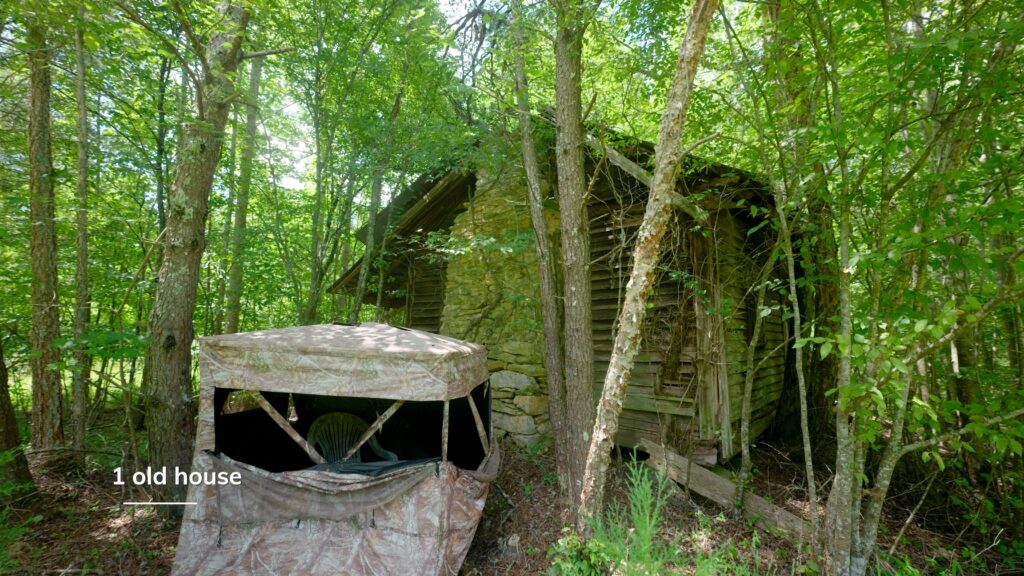
- 2 bedroom, 1 bath home built 1941 on septic
- Quiet country setting
- Low county 0.7% property taxes
Property Features Tract II
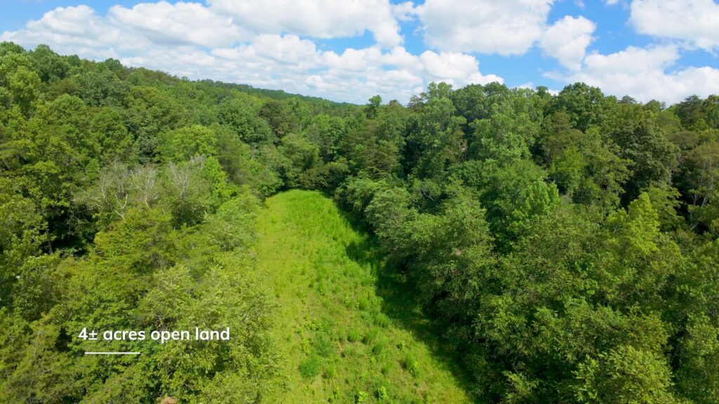
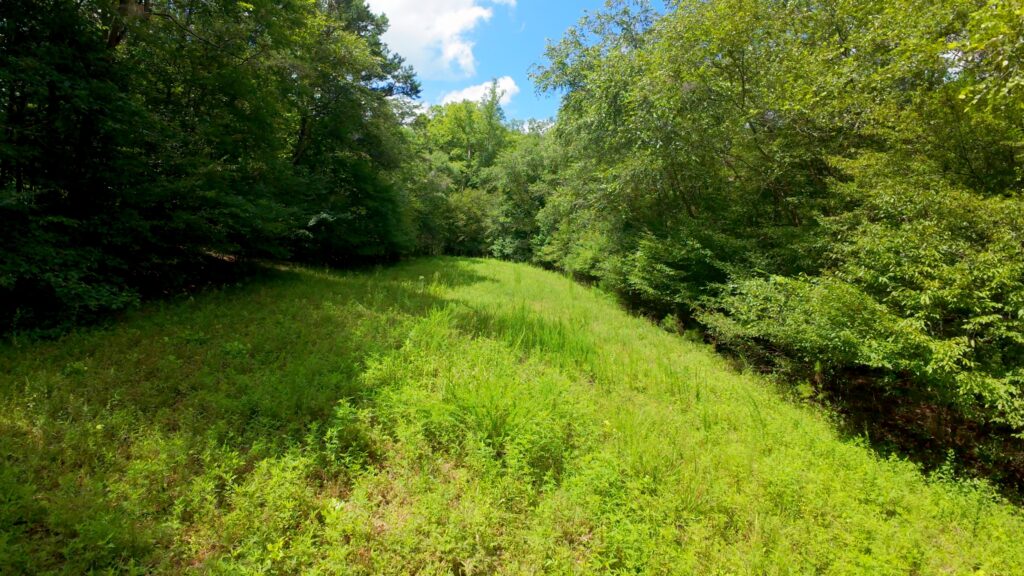
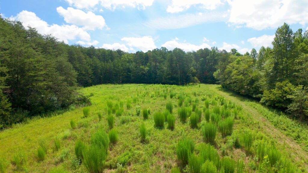
- 46± acres
- 4± acres open hay field
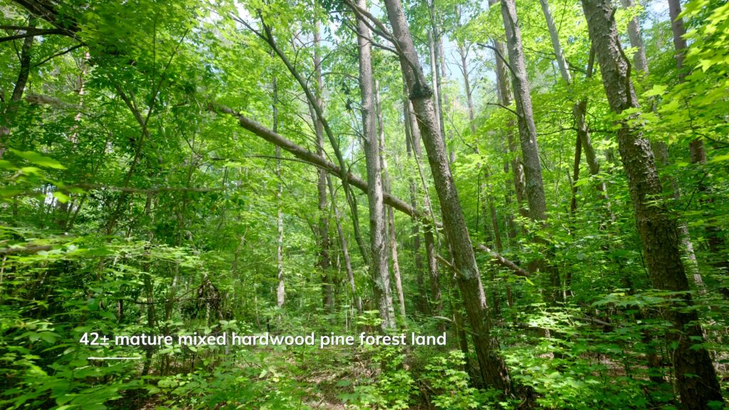
- 42± acres mature mixed hardwood/pine forest
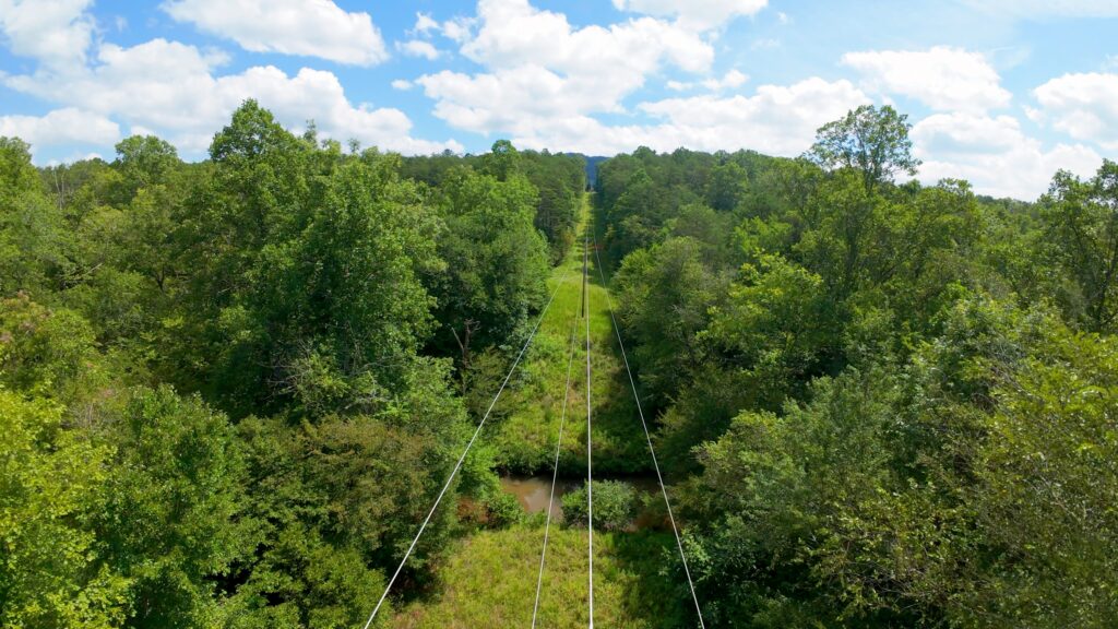
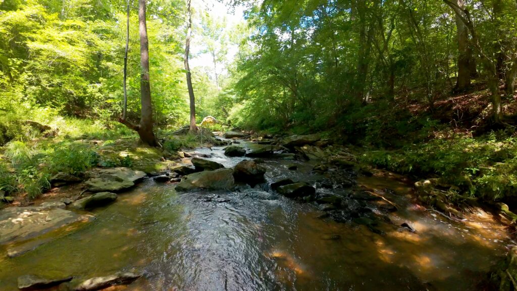
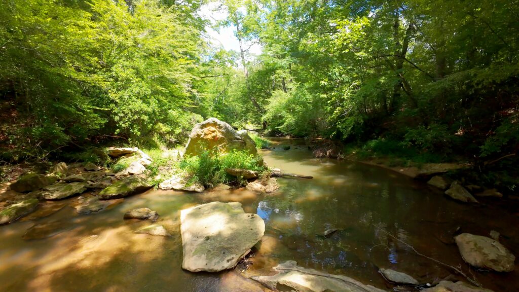
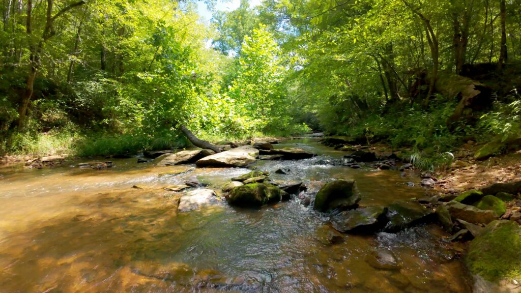
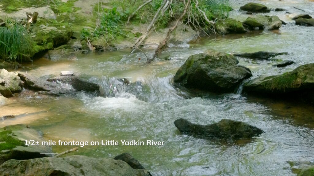
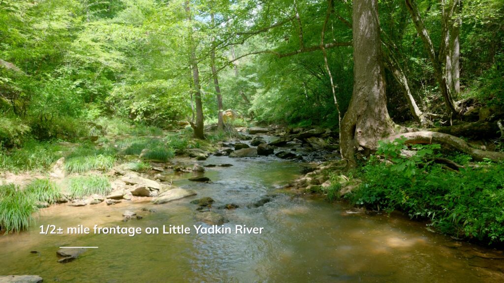
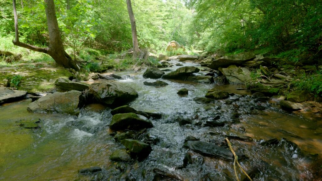
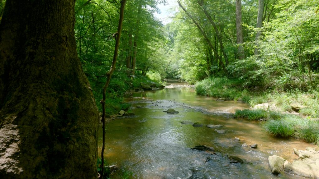
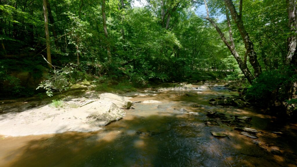
- 1/2± mile of frontage on Little Yadkin River
- No known legal access/easement exists
- No deed restrictions
- Power available
- Quiet country setting
- Low county 0.7% property taxes
Distances
- 7.5 mile drive to downtown King, NC
- 7 minute drive to Pilot Mountain State Park
- 25 minute drive to Hanging Rock State Park
- 20 minute drive to Winston Salem, NC
Property Maps & Attachments (click to access)
Directions & Coordinates
From US Highway 52 at Pinnacle Exit 29, take Perch Road north 0.9 miles, turn left on N Old US 52 Highway 0.1 miles and turn right on High Bridge Road and continue 1.8 miles and gravel driveway entrance to Tract I will be on right. Use interactive map (link above) from your smartphone in order to navigate the lots with the Land ID App. You must download the LandID (free) app on your smartphone in order to see yourself on the map
Entrance Coordinates 36.3477, -80.4138
Property Photographs
Tract 1
Tract 2

Contact
JOHN SHIPLEY
336-497-0749
info@theshipleyco.com
DISCLAIMER:
Information taken from reliable sources and thought to be correct. Potential buyers should perform their own due diligence and verify all information.
2 lots 64 acres & House Stokes Co, NC